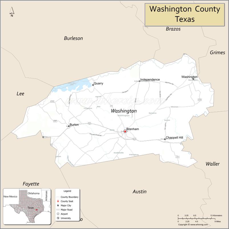
| Name: | Washington County |
|---|---|
| FIPS code: | 48-477 |
| State: | Texas |
| Founded: | 1837 |
| Named for: | George Washington |
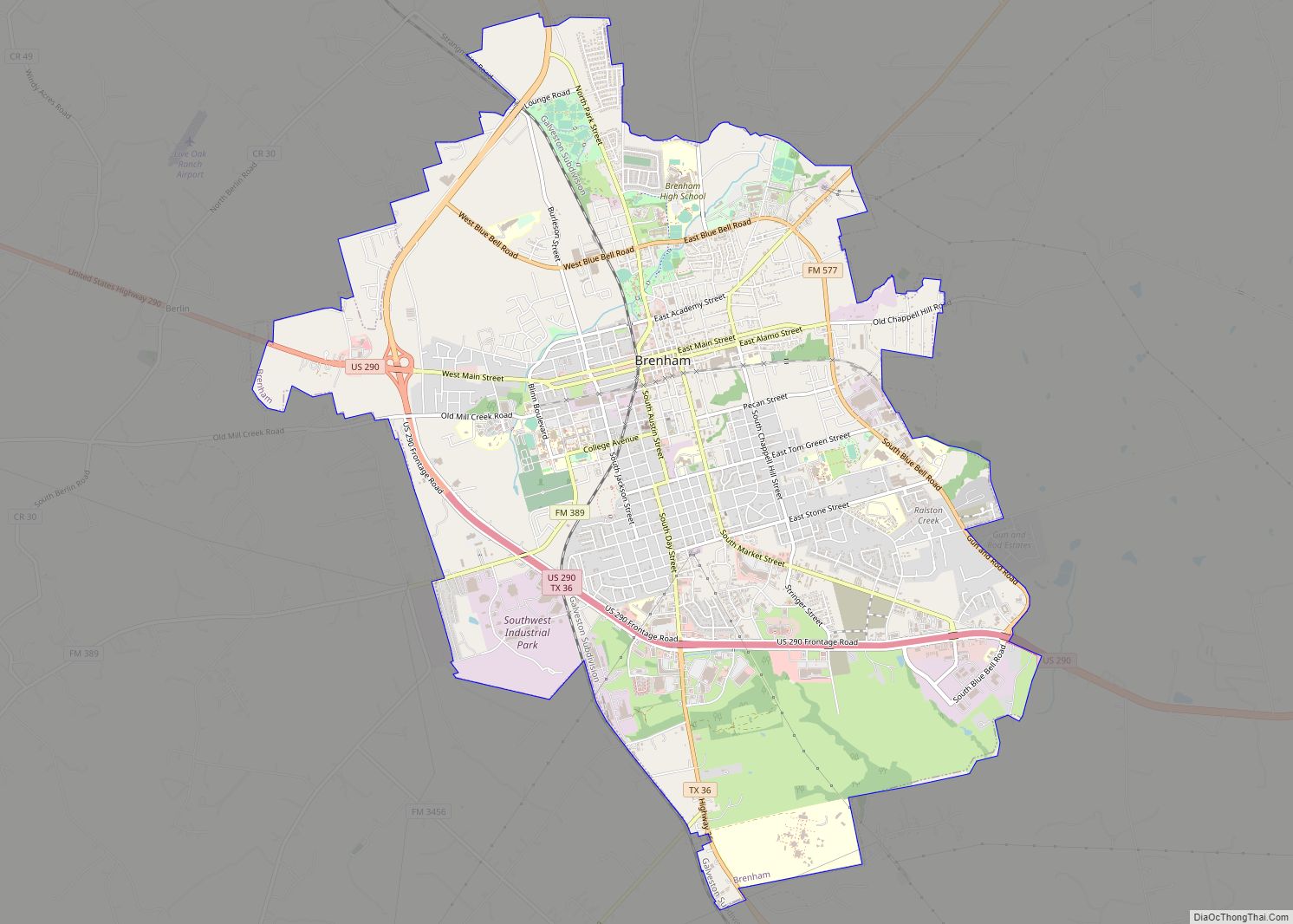
| Seat: | Brenham |
| Largest city: | Brenham |
| Total Area: | 622 sq mi (1,610 km²) |
| Land Area: | 604 sq mi (1,560 km²) |
| Total Population: | 35,805 |
| Population Density: | 58/sq mi (22/km²) |
| Time zone: | UTC−6 (Central) |
| Summer Time Zone (DST): | UTC−5 (CDT) |
| Website: | www.co.washington.tx.us |
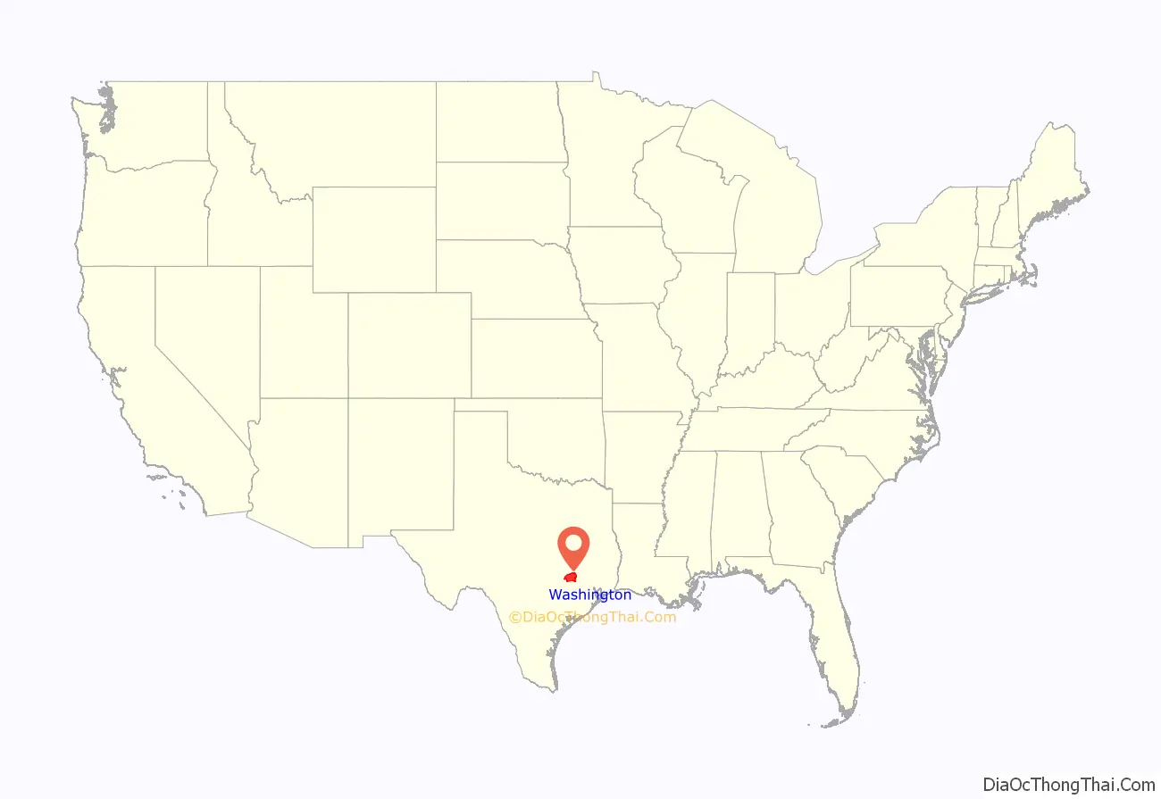
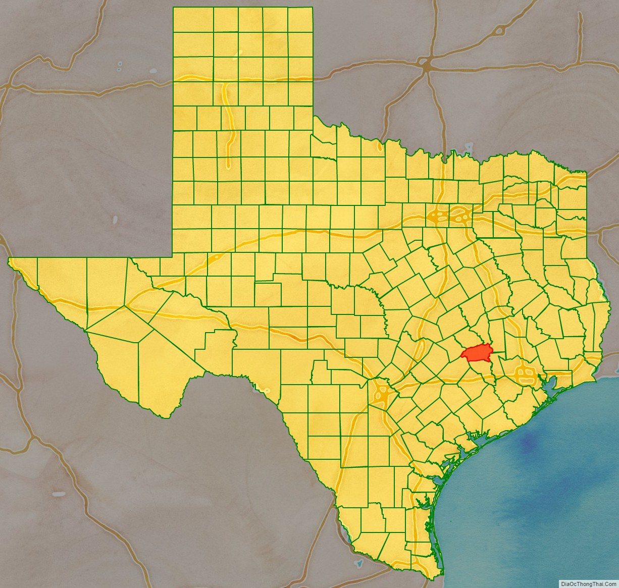
Washington County location map. Where is Washington County?
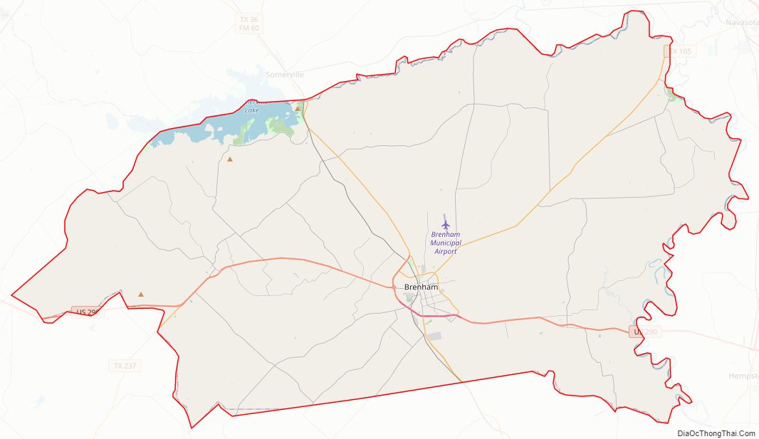
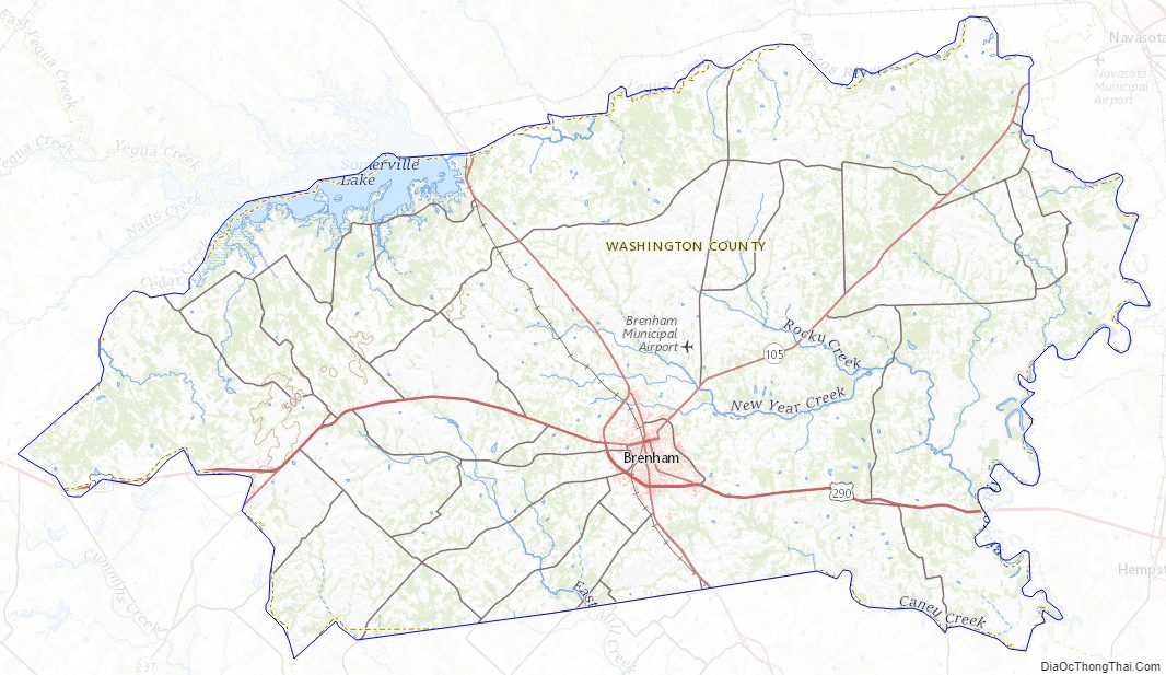
Washington County Road Map
Geography
According to the U.S. Census Bureau, the county has a total area of 622 square miles (1,610 km), of which 604 square miles (1,560 km) is land and 18 square miles (47 km) (2.9%) is water.
Major highways
- U.S. Highway 290
- State Highway 36
- State Highway 105
Adjacent counties
- Brazos County (north)
- Grimes County (northeast)
- Waller County (east)
- Austin County (south)
- Fayette County (southwest)
- Lee County (west)
- Burleson County (northwest)
Washington County Topographic Map
Washington County Satellite Map
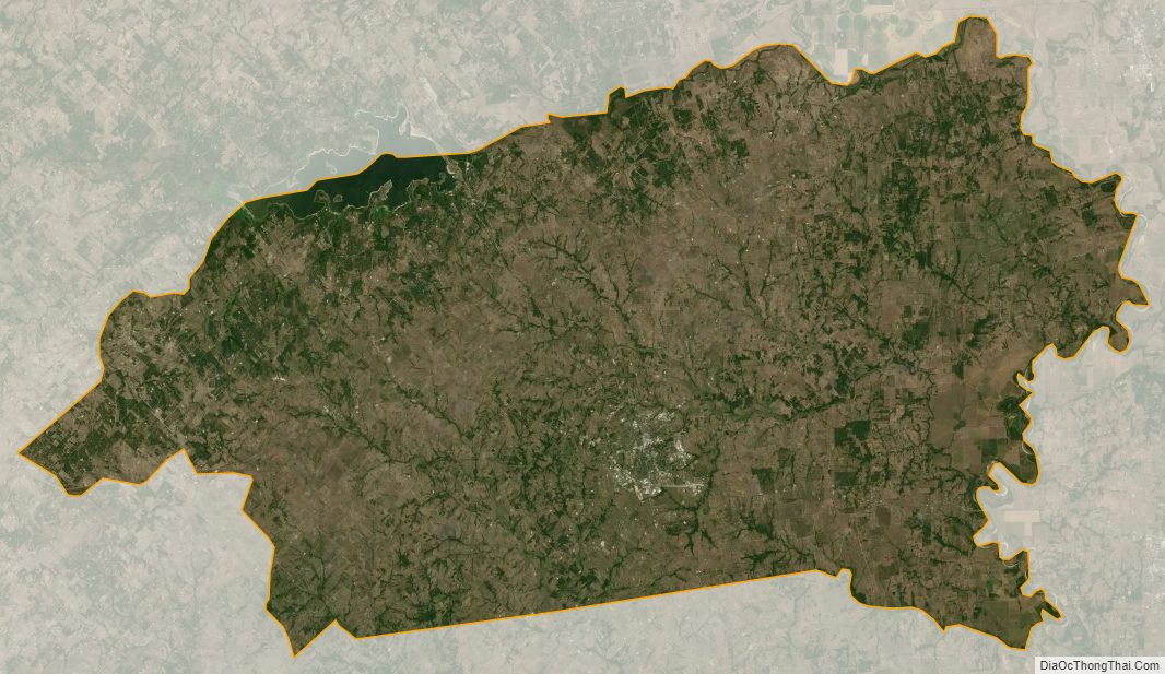
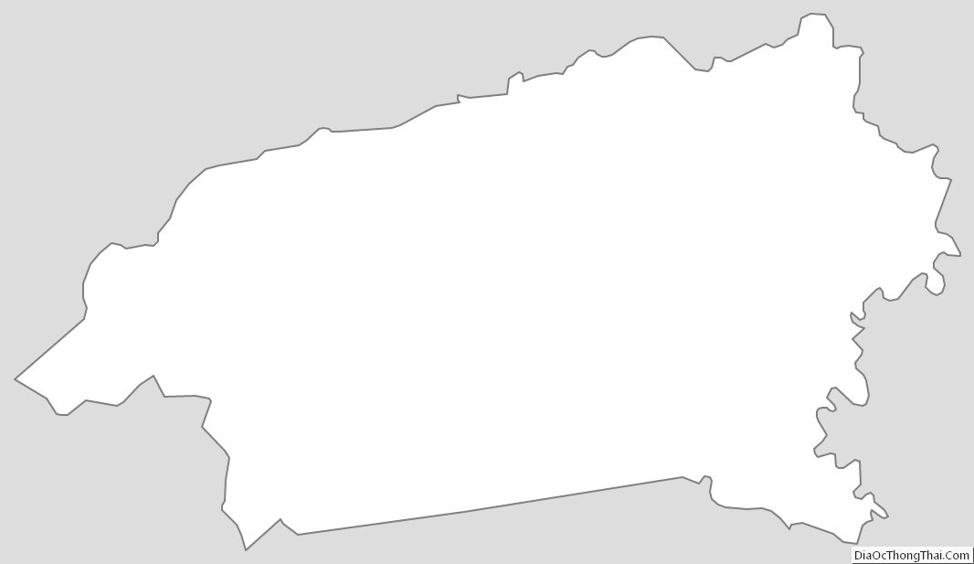
Washington County Outline Map