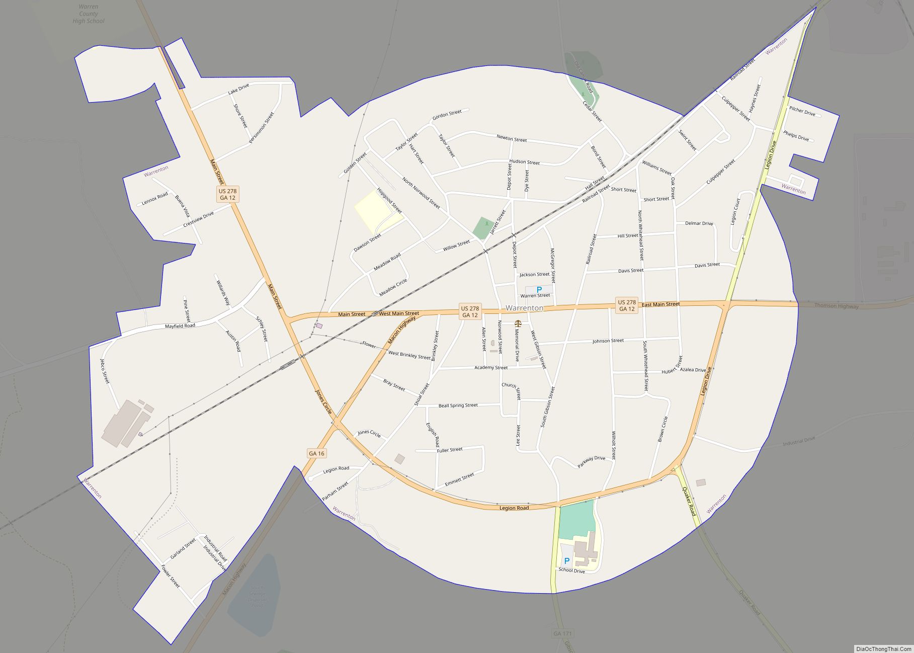
Warren County is a county located in the U.S. state of Georgia. As of the 2020 United States census, the population was 5,215, a decrease from 2010. The county seat is Warrenton. The county was created on December 19, 1793, and is named after General Joseph Warren, who was killed in the Battle of Bunker Hill.
| Name: | Warren County |
|---|---|
| FIPS code: | 13-301 |
| State: | Georgia |
| Founded: | 1793 |
| Named for: | Joseph Warren |
| Seat: | Warrenton |
| Largest city: | Warrenton |
| Total Area: | 287 sq mi (740 km²) |
| Land Area: | 284 sq mi (740 km²) |
| Total Population: | 5,215 |
| Population Density: | 21/sq mi (8/km²) |
| Time zone: | UTC−5 (Eastern) |
| Summer Time Zone (DST): | UTC−4 (EDT) |
| Website: | www.warrencountyga.com |
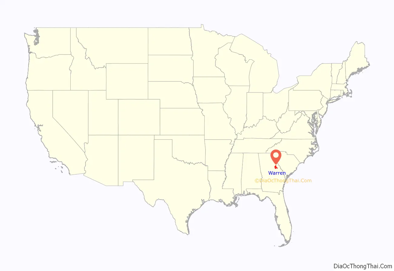
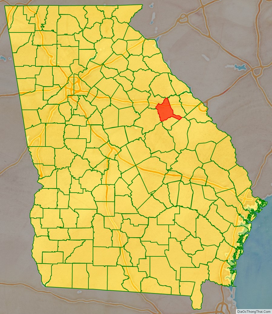
Warren County location map. Where is Warren County?
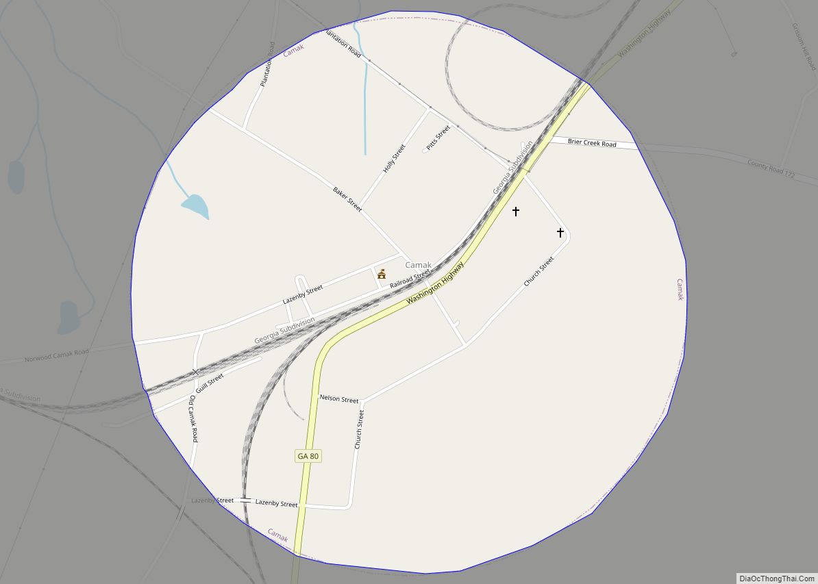
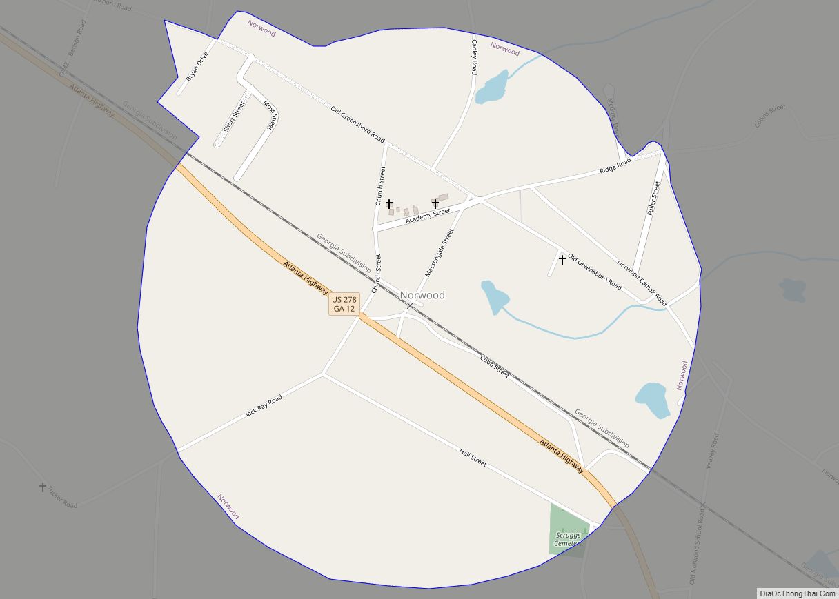
Warren County Road Map
Geography
According to the U.S. Census Bureau, the county has a total area of 287 square miles (740 km), of which 284 square miles (740 km) is land and 2.4 square miles (6.2 km) (0.8%) is water.
The north-to-northeastern quarter of Warren County, north of a line between the county’s northwestern corner, Norwood, and Camak, is located in the Little River sub-basin of the Savannah River basin. The southeastern quarter, from Camak in the north, and bordered by a northwest-to-southeast line running through Warrenton, is located in the Brier Creek sub-basin of the larger Savannah River basin. The western half of the county, west of Warrenton, is located in the Upper Ogeechee River sub-basin of the Ogeechee River basin.
Major highways
- Interstate 20
- U.S. Route 278
U.S. Route 278 Bypass- State Route 12
- State Route 12 Bypass
- State Route 16
- State Route 17
- State Route 17 Connector
- State Route 80
- State Route 80 Alternate
- State Route 123
- State Route 171
- State Route 223
- State Route 402 (unsigned designation for I-20)
Adjacent counties
- Wilkes County (north)
- McDuffie County (east)
- Glascock County (south)
- Jefferson County (southeast)
- Hancock County (southwest)
- Taliaferro County (northwest)
