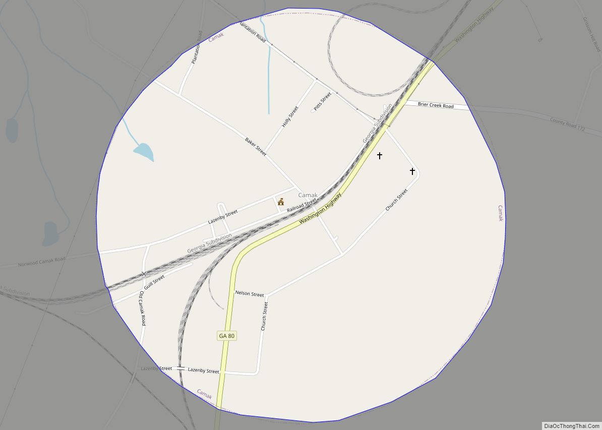
Camak is a town in Warren County, Georgia, United States. The town is located just off Interstate 20 between Atlanta and Augusta. The population was 165 at the 2000 census.
| Name: | Camak town |
|---|---|
| LSAD Code: | 43 |
| LSAD Description: | town (suffix) |
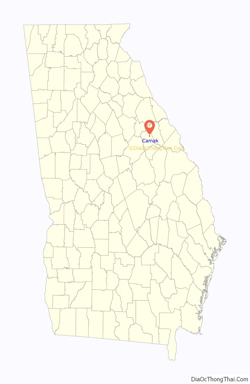
| State: | Georgia |
| County: | Warren County |
| Elevation: | 581 ft (177 m) |
| Total Area: | 0.79 sq mi (2.06 km²) |
| Land Area: | 0.79 sq mi (2.05 km²) |
| Water Area: | 0.00 sq mi (0.00 km²) |
| Total Population: | 141 |
| Population Density: | 178.03/sq mi (68.71/km²) |
| ZIP code: | 30807 |
| Area code: | 706 |
| FIPS code: | 1312512 |
| GNISfeature ID: | 0331311 |
Online Interactive Map
Click on ![]() to view map in "full screen" mode.
to view map in "full screen" mode.
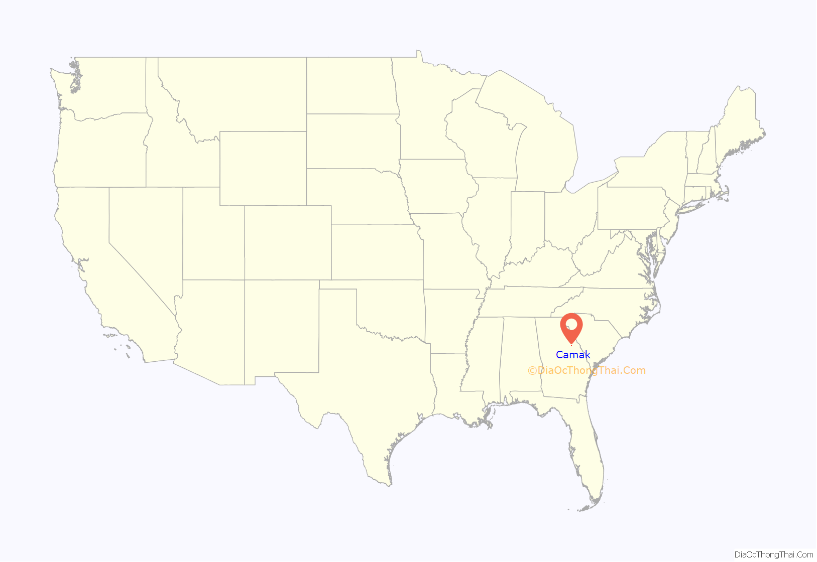
Camak location map. Where is Camak town?
History
The Georgia General Assembly incorporated the place in 1898 as the “Town of Camak”, with municipal corporate limits extending in a one-half mile radius from the Georgia Railroad depot. The community was named after James Camak, a railroad promoter. Camak’s home in Athens, the Camak House, is listed on the National Register of Historic Places.
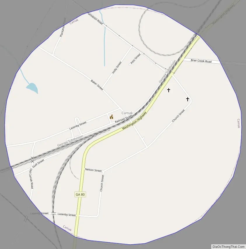
Camak Road Map
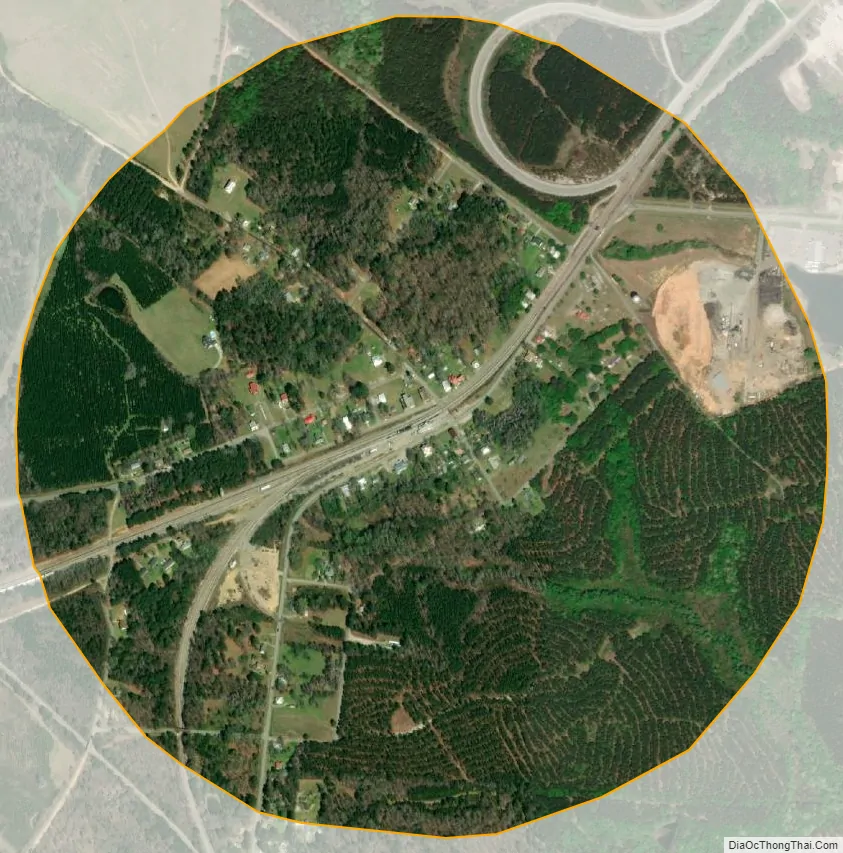
Camak city Satellite Map
Geography
Camak is located at 33°27′11″N 82°38′54″W / 33.45306°N 82.64833°W / 33.45306; -82.64833 (33.453039, -82.648287).
According to the United States Census Bureau, the town has a total area of 0.8 square miles (2.1 km), all land.
See also
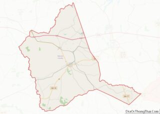
Map of Georgia State and its subdivision:- Appling
- Atkinson
- Bacon
- Baker
- Baldwin
- Banks
- Barrow
- Bartow
- Ben Hill
- Berrien
- Bibb
- Bleckley
- Brantley
- Brooks
- Bryan
- Bulloch
- Burke
- Butts
- Calhoun
- Camden
- Candler
- Carroll
- Catoosa
- Charlton
- Chatham
- Chattahoochee
- Chattooga
- Cherokee
- Clarke
- Clay
- Clayton
- Clinch
- Cobb
- Coffee
- Colquitt
- Columbia
- Cook
- Coweta
- Crawford
- Crisp
- Dade
- Dawson
- Decatur
- DeKalb
- Dodge
- Dooly
- Dougherty
- Douglas
- Early
- Echols
- Effingham
- Elbert
- Emanuel
- Evans
- Fannin
- Fayette
- Floyd
- Forsyth
- Franklin
- Fulton
- Gilmer
- Glascock
- Glynn
- Gordon
- Grady
- Greene
- Gwinnett
- Habersham
- Hall
- Hancock
- Haralson
- Harris
- Hart
- Heard
- Henry
- Houston
- Irwin
- Jackson
- Jasper
- Jeff Davis
- Jefferson
- Jenkins
- Johnson
- Jones
- Lamar
- Lanier
- Laurens
- Lee
- Liberty
- Lincoln
- Long
- Lowndes
- Lumpkin
- Macon
- Madison
- Marion
- McDuffie
- McIntosh
- Meriwether
- Miller
- Mitchell
- Monroe
- Montgomery
- Morgan
- Murray
- Muscogee
- Newton
- Oconee
- Oglethorpe
- Paulding
- Peach
- Pickens
- Pierce
- Pike
- Polk
- Pulaski
- Putnam
- Quitman
- Rabun
- Randolph
- Richmond
- Rockdale
- Schley
- Screven
- Seminole
- Spalding
- Stephens
- Stewart
- Sumter
- Talbot
- Taliaferro
- Tattnall
- Taylor
- Telfair
- Terrell
- Thomas
- Tift
- Toombs
- Towns
- Treutlen
- Troup
- Turner
- Twiggs
- Union
- Upson
- Walker
- Walton
- Ware
- Warren
- Washington
- Wayne
- Webster
- Wheeler
- White
- Whitfield
- Wilcox
- Wilkes
- Wilkinson
- Worth
- Alabama
- Alaska
- Arizona
- Arkansas
- California
- Colorado
- Connecticut
- Delaware
- District of Columbia
- Florida
- Georgia
- Hawaii
- Idaho
- Illinois
- Indiana
- Iowa
- Kansas
- Kentucky
- Louisiana
- Maine
- Maryland
- Massachusetts
- Michigan
- Minnesota
- Mississippi
- Missouri
- Montana
- Nebraska
- Nevada
- New Hampshire
- New Jersey
- New Mexico
- New York
- North Carolina
- North Dakota
- Ohio
- Oklahoma
- Oregon
- Pennsylvania
- Rhode Island
- South Carolina
- South Dakota
- Tennessee
- Texas
- Utah
- Vermont
- Virginia
- Washington
- West Virginia
- Wisconsin
- Wyoming