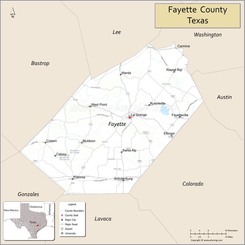
Fayette County is a county located in the U.S. state of Texas. As of the 2020 census, the population was 24,435. Its county seat is La Grange. The county was created in 1837 and organized the next year.
| Name: | Fayette County |
|---|---|
| FIPS code: | 48-149 |
| State: | Texas |
| Founded: | 1837 |
| Named for: | Marquis de la Fayette |
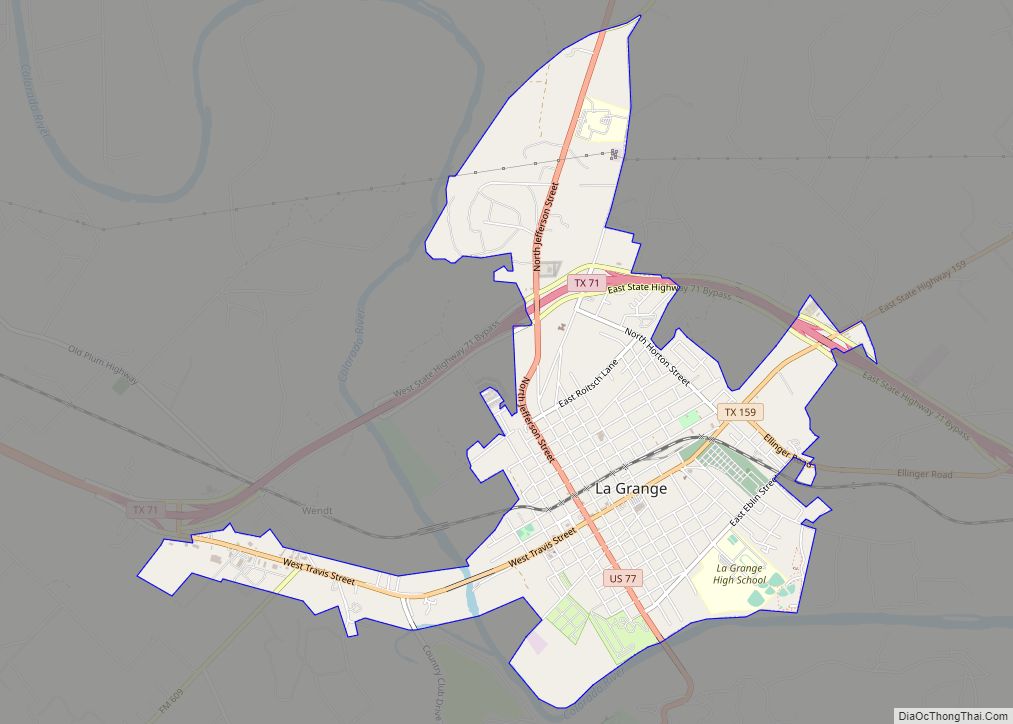
| Seat: | La Grange |
| Largest city: | La Grange |
| Total Area: | 960 sq mi (2,500 km²) |
| Land Area: | 950 sq mi (2,500 km²) |
| Total Population: | 24,435 |
| Population Density: | 25/sq mi (9.8/km²) |
| Time zone: | UTC−6 (Central) |
| Summer Time Zone (DST): | UTC−5 (CDT) |
| Website: | www.co.fayette.tx.us |
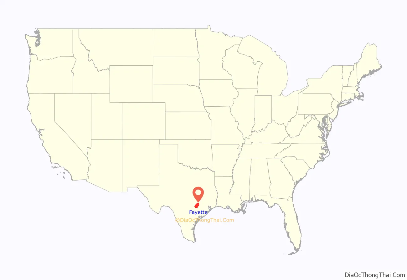
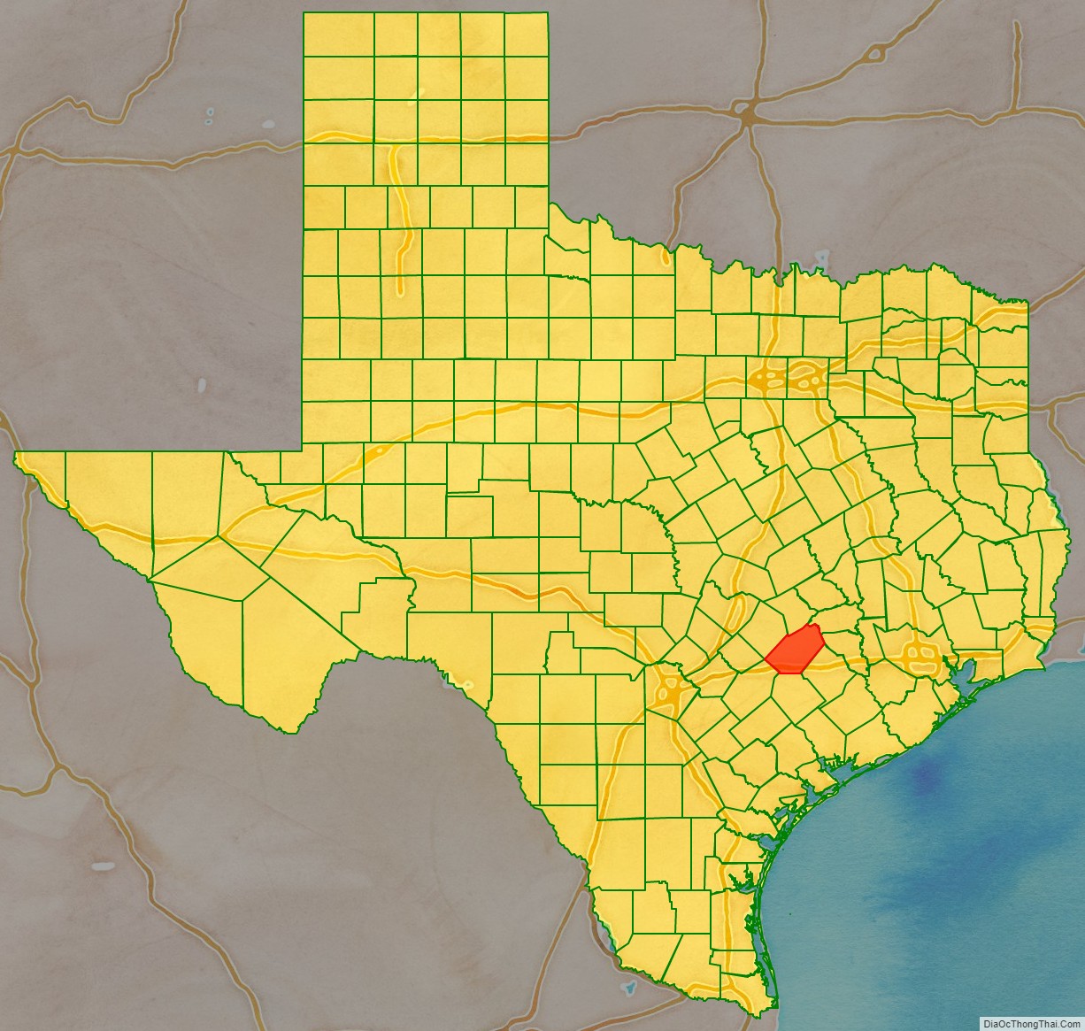
Fayette County location map. Where is Fayette County?
History
Fayette County was established in 1837 from land given by Bastrop and Colorado Counties. It is named for the Marquis de Lafayette, a French nobleman who became an American Revolutionary War hero.
An early resident of Brazoria County and then Fayette County, Joel Walter Robison, fought in the Texas Revolution and served in the Texas House of Representatives.
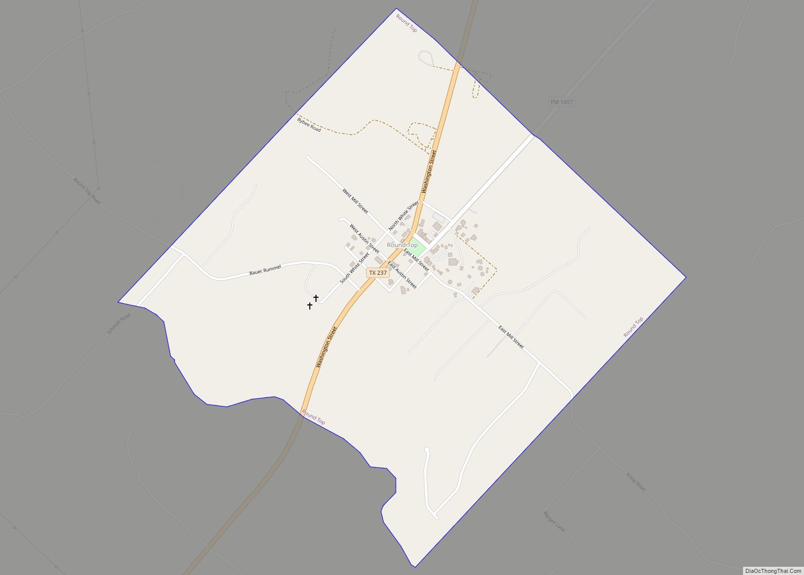
More than a dozen historic properties are listed on the National Register of Historic Places in Fayette County.
Fayette County is the location of the real Chicken Ranch, which was the basis of the musical play and feature film The Best Little Whorehouse in Texas.
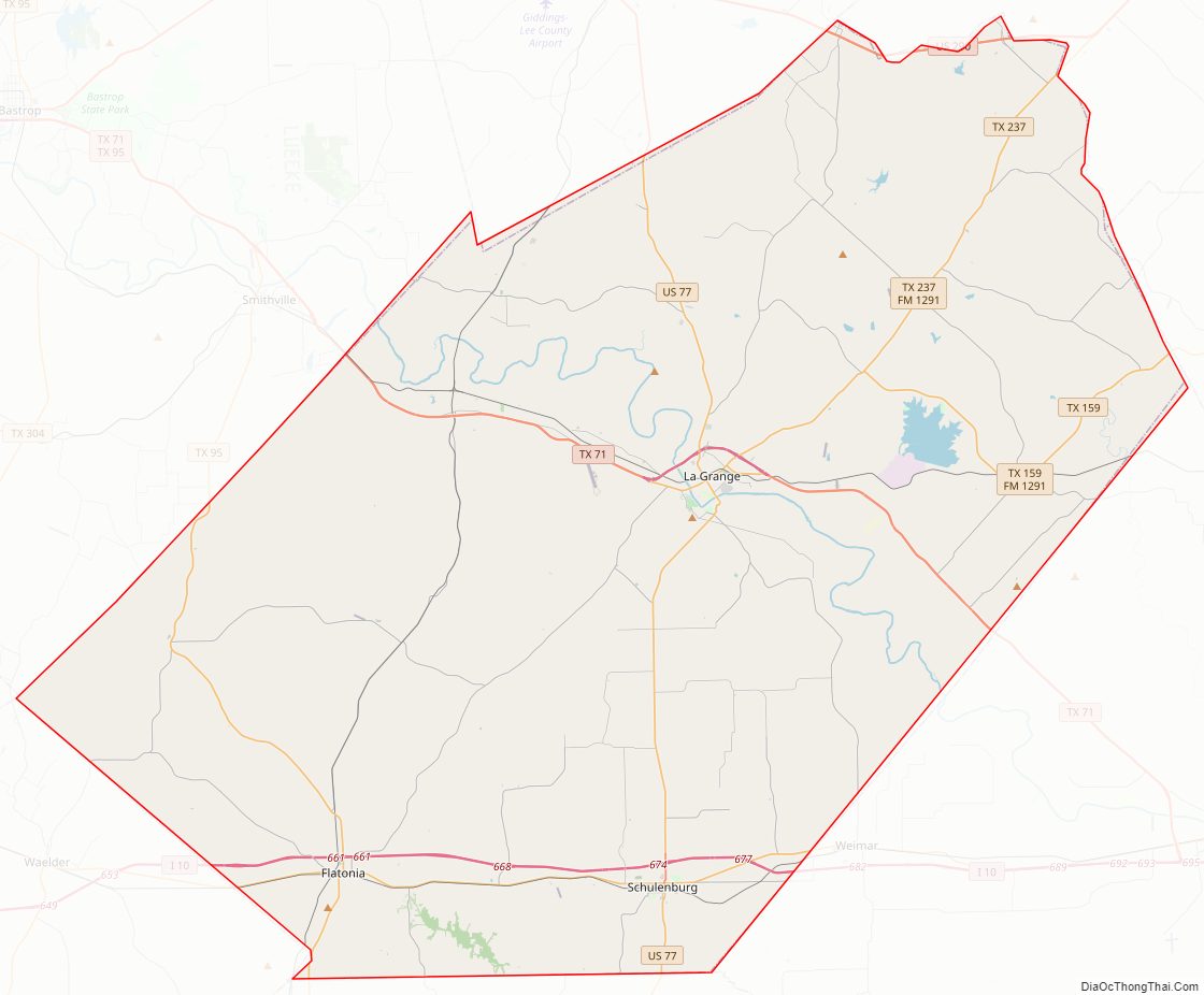
Fayette County Road Map
Geography
According to the U.S. Census Bureau, the county has a total area of 960 square miles (2,500 km), of which 950 square miles (2,500 km) are land and 9.8 square miles (25 km) (1.0%) are covered by water.
Adjacent counties
- Lee County (north)
- Washington County (northeast)
- Austin County (east)
- Colorado County (southeast)
- Lavaca County (south)
- Gonzales County (southwest)
- Caldwell County (west)
- Bastrop County (northwest)
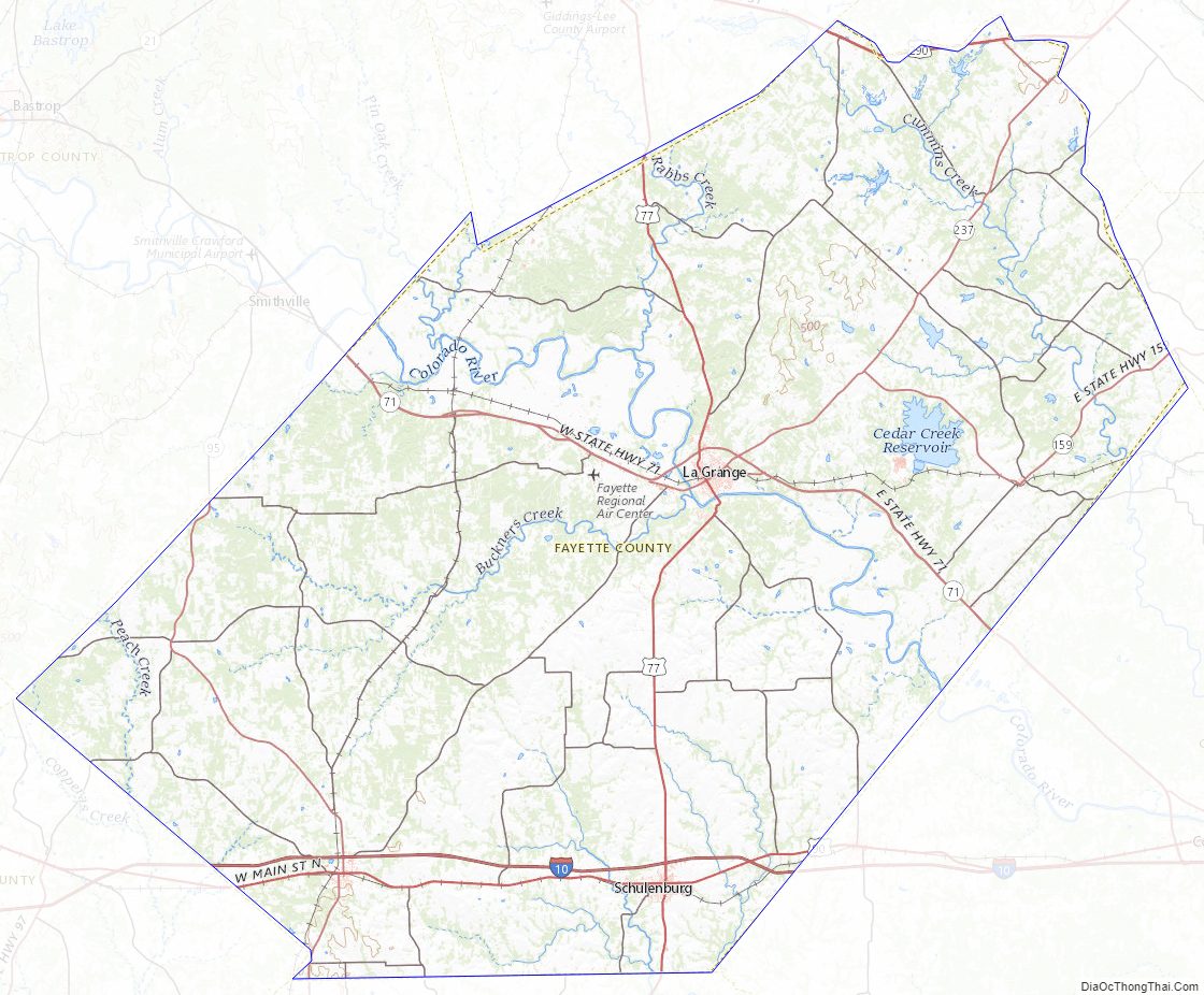
Fayette County Topographic Map
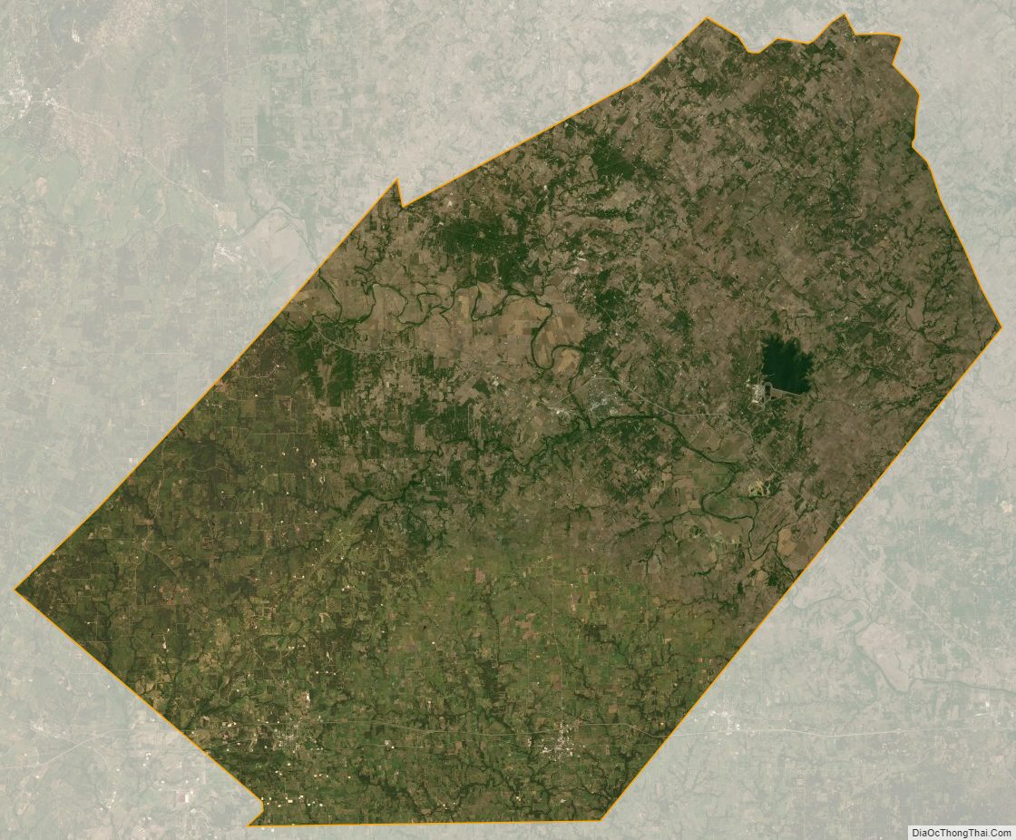
Fayette County Satellite Map
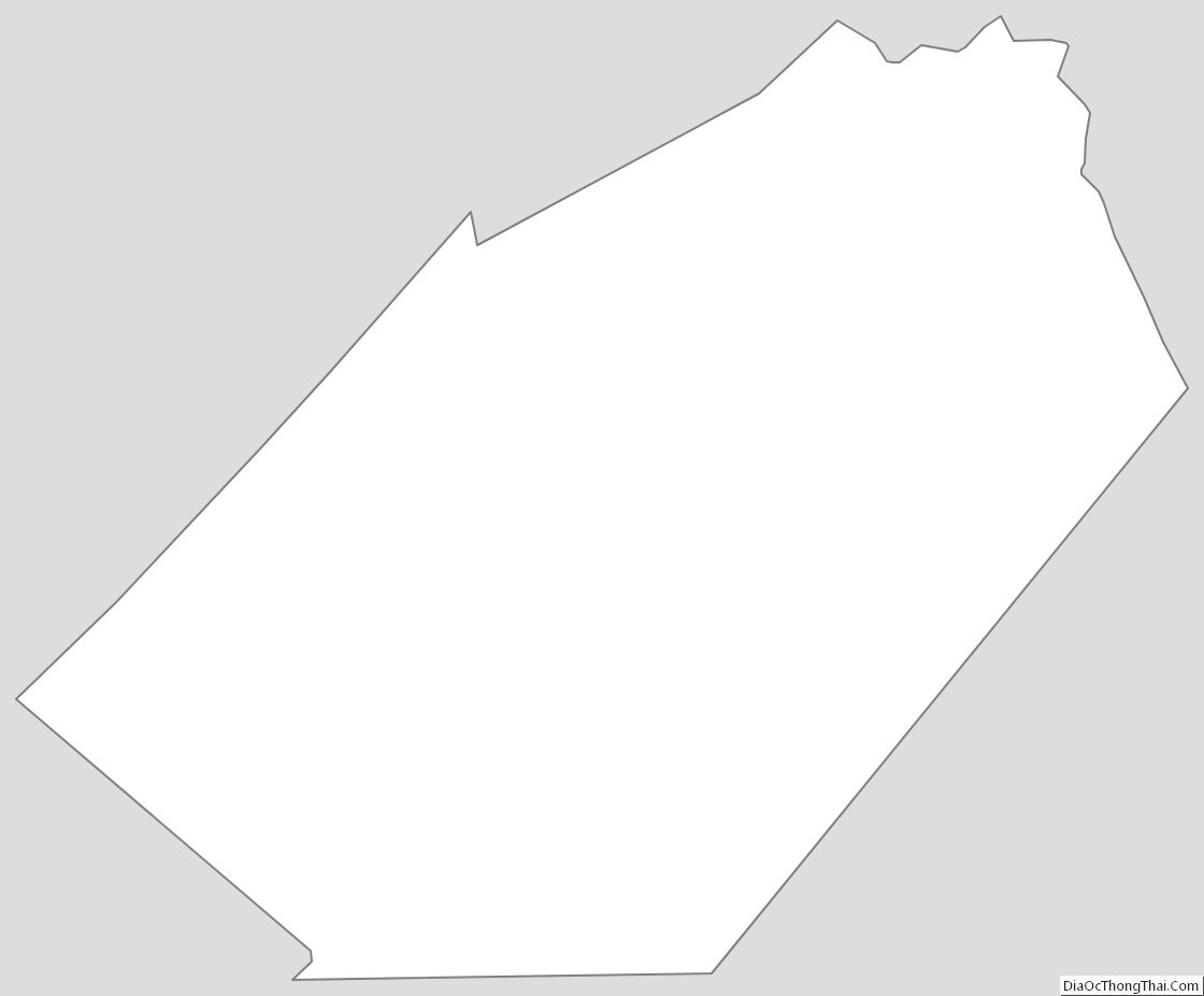
Fayette County Outline Map