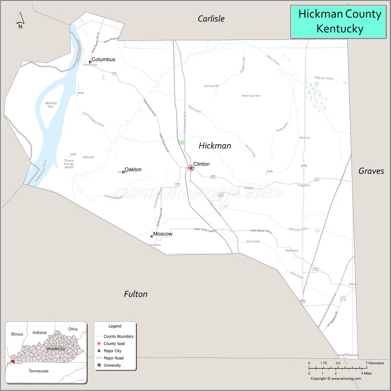
Hickman County is a county located in the U.S. state of Kentucky. As of the 2020 census, the population was 4,521, making it the third-least populous county in Kentucky. Its county seat is Clinton. The county was formed in 1821. It is the least densely populated county in the state and is a prohibition or dry county.
| Name: | Hickman County |
|---|---|
| FIPS code: | 21-105 |
| State: | Kentucky |
| Founded: | 1821 |
| Named for: | Paschal Hickman |
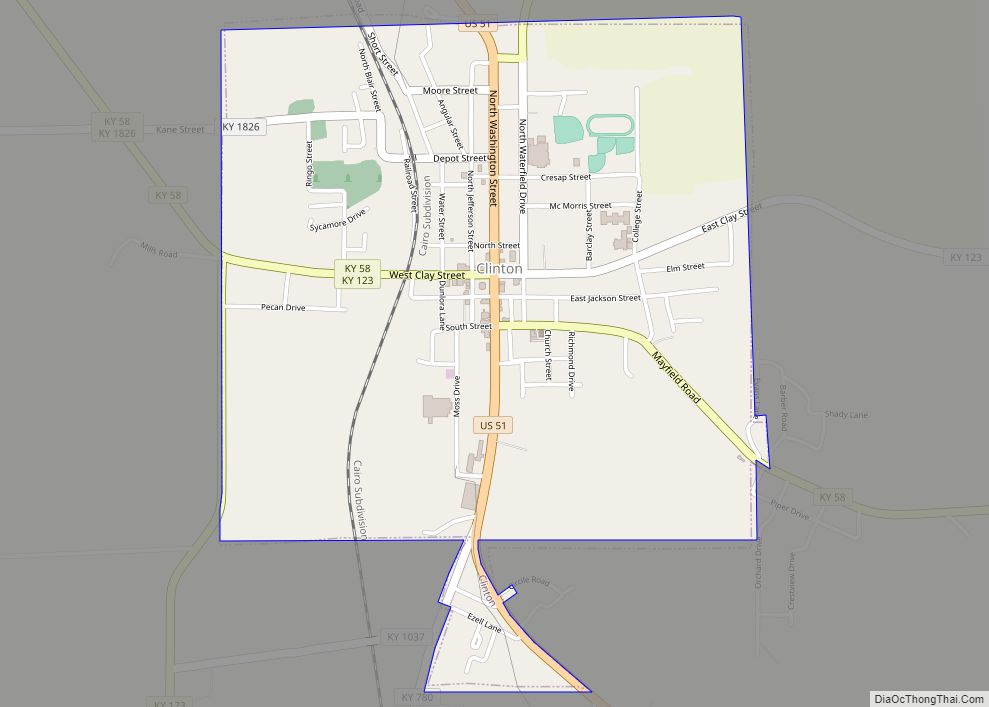
| Seat: | Clinton |
| Largest city: | Clinton |
| Total Area: | 253 sq mi (660 km²) |
| Land Area: | 242 sq mi (630 km²) |
| Total Population: | 4,521 |
| Population Density: | 18/sq mi (6.9/km²) |
| Time zone: | UTC−6 (Central) |
| Summer Time Zone (DST): | UTC−5 (CDT) |
| Website: | hickmancounty.ky.gov |
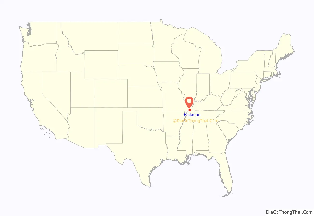
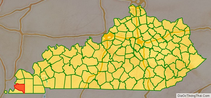
Hickman County location map. Where is Hickman County?
History
Founded in 1821, Hickman County was the seventy-first in order of formation. It was named for Captain Paschal Hickman of the 1st Rifle Regiment, Kentucky Militia. A resident of Franklin County, Kentucky, Hickman was wounded and captured at the Battle of Frenchtown in January 1813 and was killed by Indians in the Massacre of the River Raisin.
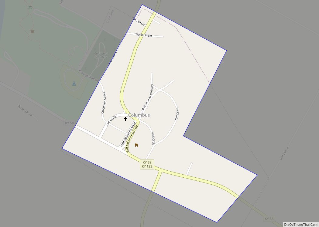
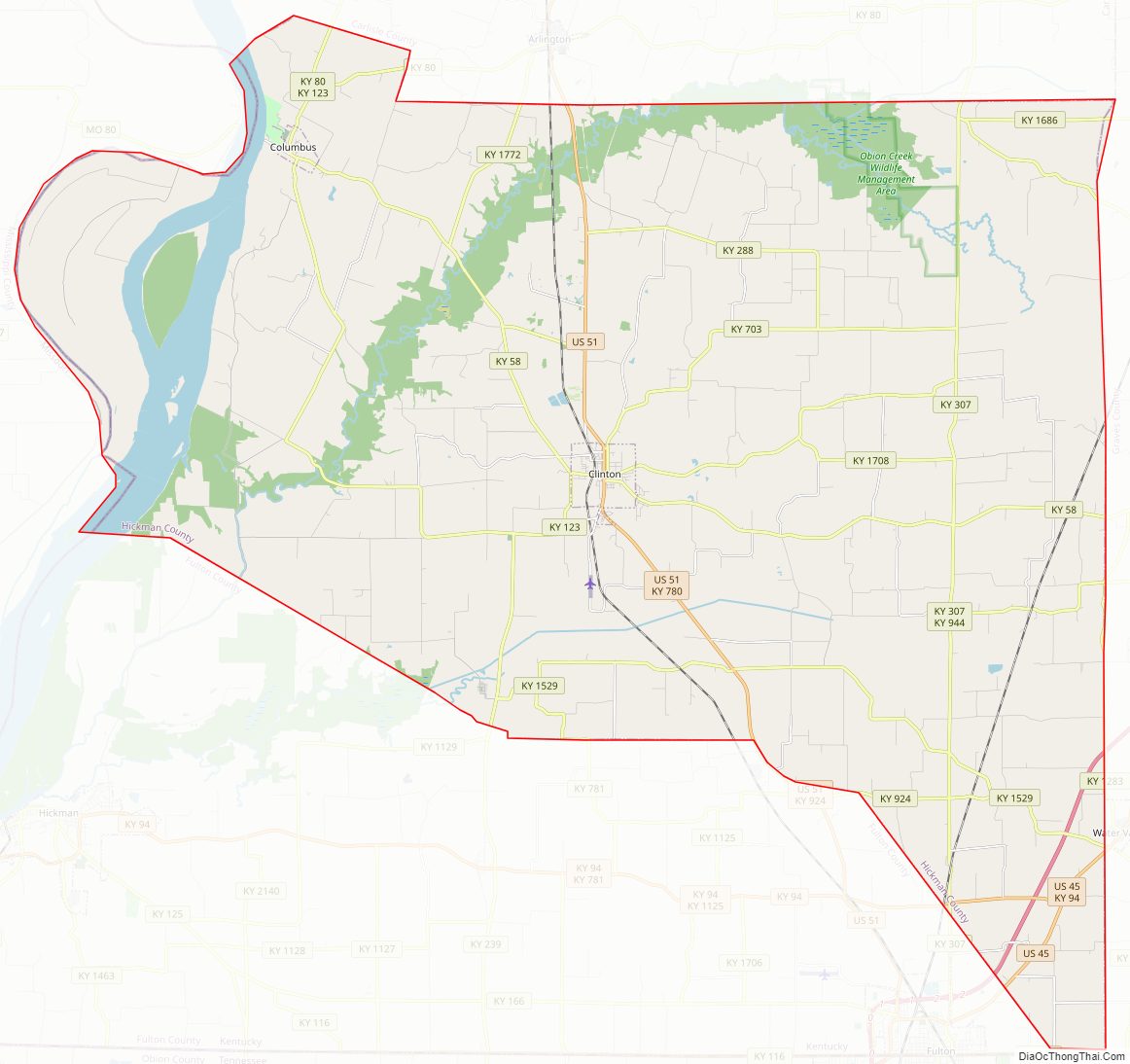
Columbus, Kentucky, in the northwest of the county and located on the Mississippi River, was the original county seat. A log structure built in 1823 served as the courthouse. In 1830, the county seat was moved to the more centrally located Clinton.
In 1861, early in the American Civil War, the Confederate Army established Fort de Russey on the strategically located bluffs at Columbus across the river from Belmont, Missouri. Confederate General Leonidas Polk knew it was important to control the river, and wanted to extend a massive chain across the Mississippi to block Union forces from going downstream. (This was never achieved.) The fort was garrisoned with several thousand troops and a six-gun battery was installed; a smaller force was based at a Confederate camp in Belmont.
Union Gen. Ulysses S. Grant moved troops from his base at Cairo, Illinois, and attacked Belmont in November 1861, his first battle of the war. He was ultimately defeated by Confederate troops sent from Columbus across the river to reinforce the Confederate defense; they were led by Polk. The former site of the Confederate fortifications near Columbus, Kentucky is now the Columbus-Belmont State Park, commemorating all the actions of the day that led to Union defeat here.
Hickman County Road Map
Geography
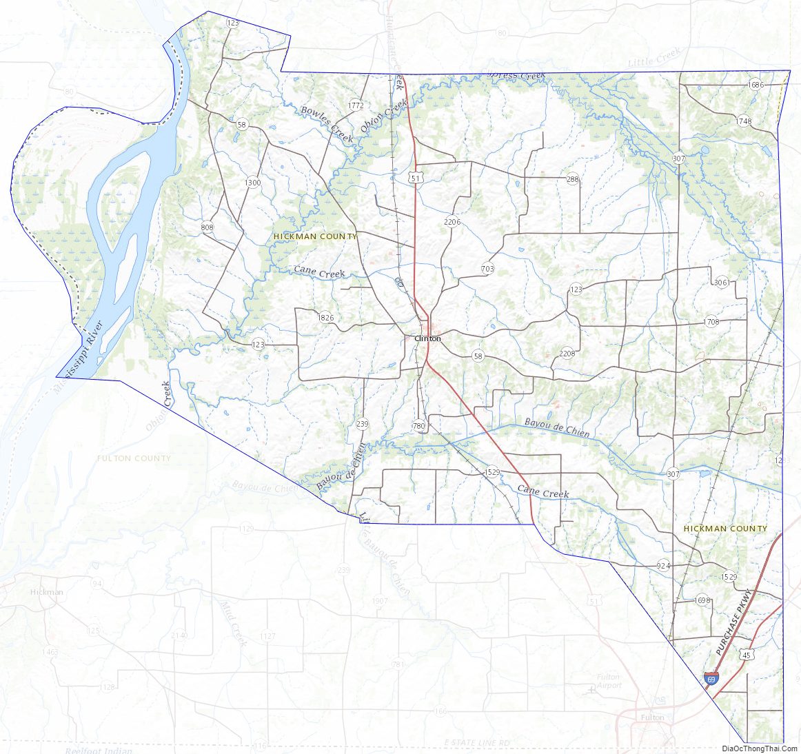
According to the U.S. Census Bureau, the county has a total area of 253 square miles (660 km), of which 242 square miles (630 km) is land and 11 square miles (28 km) (4.3%) is water. The elevation in the county ranges from 276 feet (84 m) to 510 feet (160 m) above sea level. The county’s western border is formed by the Mississippi River, nearly a mile wide here, with the state of Missouri on the other side. Some portions of the county are landlocked to Missouri west of the Mississippi.
Adjacent counties
- Carlisle County (north)
- Graves County (east)
- Weakley County, Tennessee (southeast)
- Obion County, Tennessee (south)
- Fulton County (south)
- Mississippi County, Missouri (west)
Hickman County Topographic Map
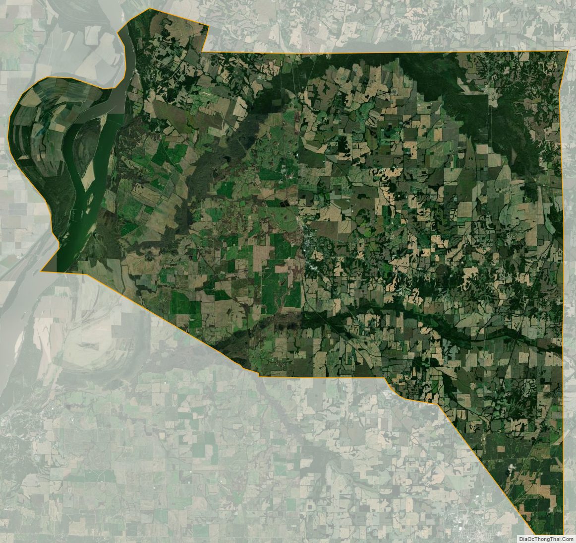
Hickman County Satellite Map
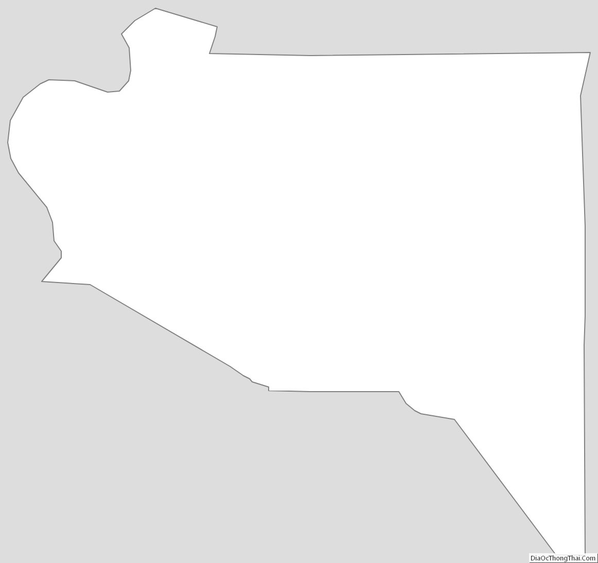
Hickman County Outline Map