Whitman County is a county located in the U.S. state of Washington. As of the 2020 census, the population was 47,973. The county seat is Colfax, and its largest city is Pullman.
The county was formed from Stevens County in 1871. It is named after Marcus Whitman, a Presbyterian missionary who, with his wife Narcissa, was killed in 1847 by members of the Cayuse tribe.
Whitman County comprises the Pullman, Washington Metropolitan Statistical Area.
| Name: | Whitman County |
|---|---|
| FIPS code: | 53-075 |
| State: | Washington |
| Founded: | November 29, 1871 |
| Named for: | Marcus Whitman |
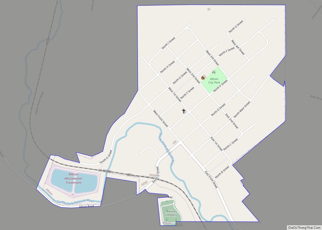
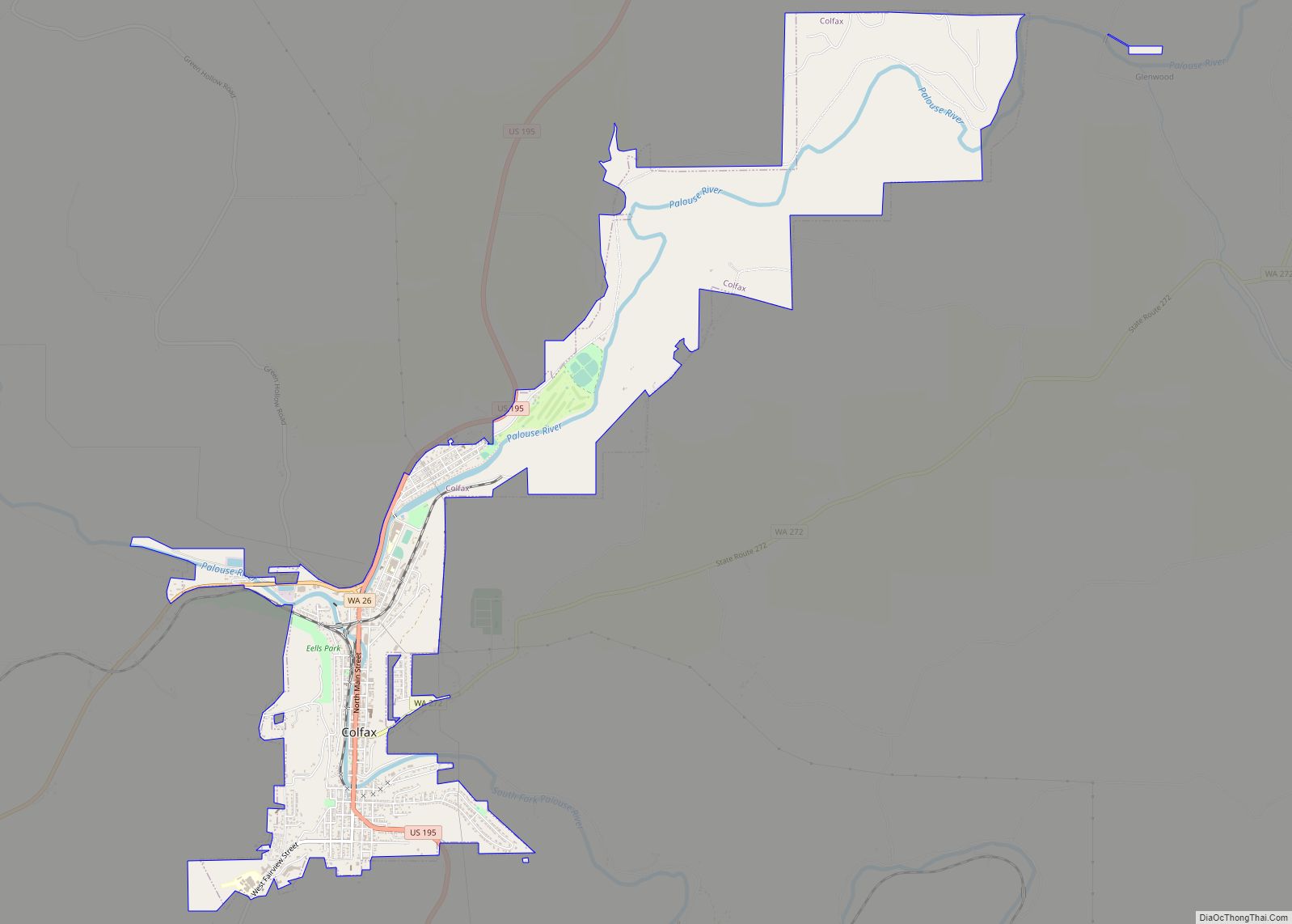
| Seat: | Colfax |
| Largest city: | Pullman |
| Total Area: | 2,178 sq mi (5,640 km²) |
| Land Area: | 2,159 sq mi (5,590 km²) |
| Total Population: | 47,973 |
| Population Density: | 22/sq mi (8/km²) |
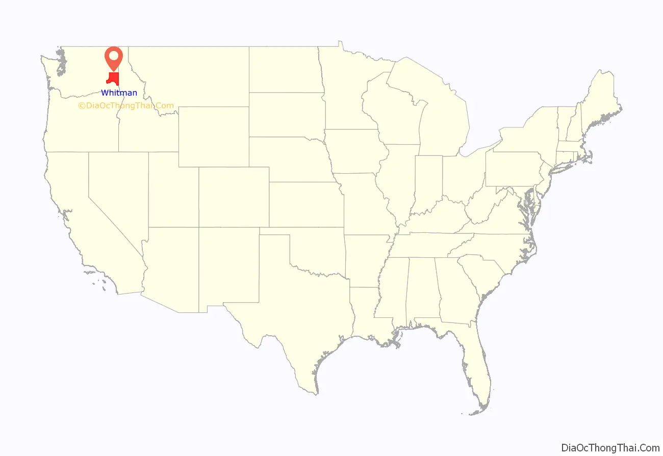
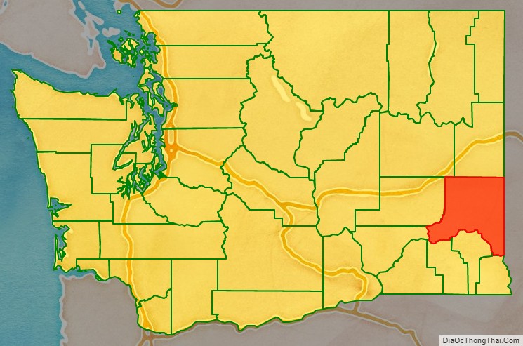
Whitman County location map. Where is Whitman County?
History
The area delineated by the future Washington state boundary began to be colonized at the start of the nineteenth century, both by Americans and Canadians. However, the majority of Canadian exploration and interest in the land was due to the fur trade, whereas American settlers were principally seeking land for agriculture and cattle raising. The Treaty of 1818 provided for dual control of this area by US and Canadian government officials. During this period, the future Washington Territory was divided into two administrative zones: Clark County and Lewis County (made official in 1845).
The dual-control concept was unwieldy and led to continual argument, and occasional conflict. The status of the Washington area was settled in 1846, when the Oregon Treaty ceded the land south of North latitude 49 degrees to American control.
In 1854, Skamania County was split from the original Clark County. Also in 1854, Walla Walla County was split from the new Skamania County. In 1863, Stevens County was split from Walla Walla County, and in 1871, a portion of Stevens County was set off to form Whitman County. The 1871 shape of Whitman County was considerably larger than its present boundary, as Adams, Franklin, and Lincoln counties were sectioned off from Whitman County in 1883. After that, Whitman County retained its shape, including through the period after Washington became the 42nd state of the Union in 1889.
Whitman County Road Map
Geography
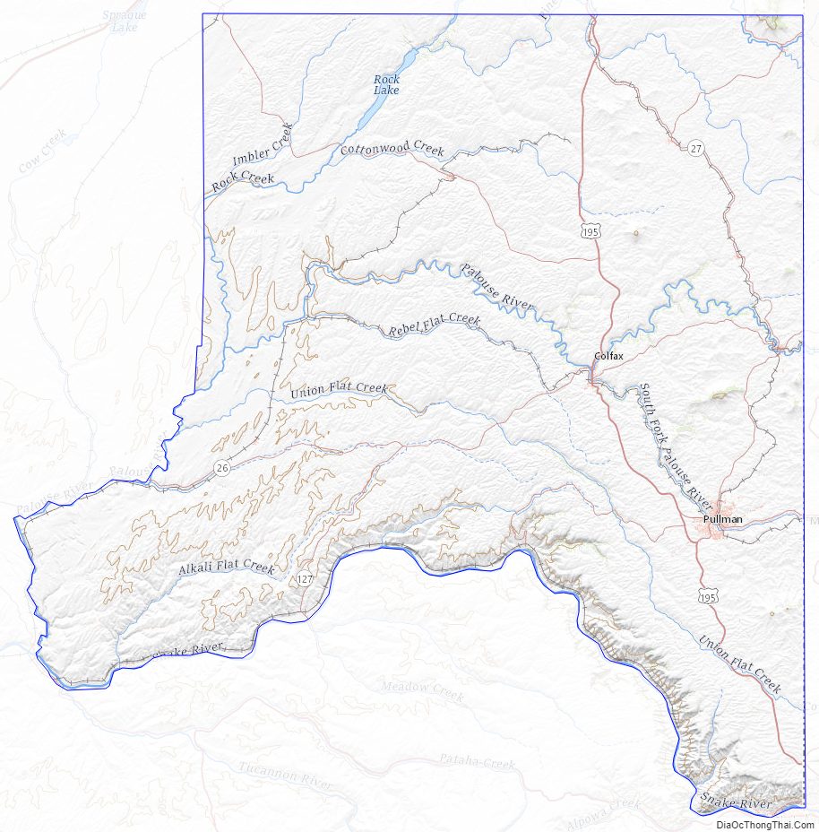
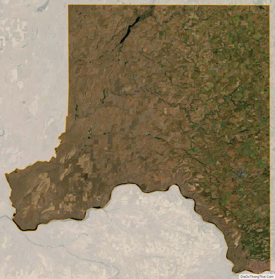
According to the United States Census Bureau, the county has a total area of 2,178 square miles (5,640 km), of which 2,159 square miles (5,590 km) is land and 19 square miles (49 km) (0.9%) is water. Whitman County is part of the Palouse, a wide and rolling prairie-like region of the middle Columbia basin.
Rivers
- Snake River
- Palouse River
- Latah Creek
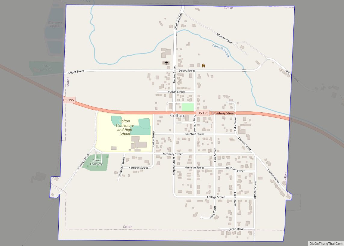
- Union Flat Creek
- Rock Creek
- Pine Creek
Lakes and reservoirs
- Lake Herbert G. West, formed from Lower Monumental Dam
- Lake Bryan, named for Dr. Enoch A. Bryan, behind the Little Goose Dam
- Lower Granite Lake, behind the Lower Granite Dam
- Rock Lake
Summits and peaks
- Tekoa Mountain (elevation: 4009′)
- Kamiak Butte (elevation: 3641′)
- Steptoe Butte (elevation: 3612′)
- Bald Butte (elevation: 3369)
Notable parks
- Steptoe Butte State Park
- Kamiak Butte County Park
- Palouse Falls State Park
- Central Ferry State Park
- Boyer Park and Marina
- Wawawai County Park
Adjacent counties
- Spokane County – north
- Benewah County, Idaho – northeast
- Latah County, Idaho – east
- Nez Perce County, Idaho – southeast
- Asotin County – south/southeast
- Garfield County – south
- Columbia County – south
- Franklin County – southwest
- Adams County – west
- Lincoln County – northwest
Major highways
- U.S. Route 195
- State Route 23
- State Route 26
- State Route 27
- State Route 127
- State Route 270
- State Route 271
- State Route 272
Airports
- Pullman–Moscow Regional Airport: Airport with GA operations and a few airline flights with Alaska Airlines
- Port of Whitman Business Air Center Airport: Small GA Airport in Colfax
Whitman County Topographic Map
Whitman County Satellite Map
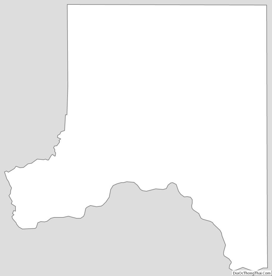
Whitman County Outline Map