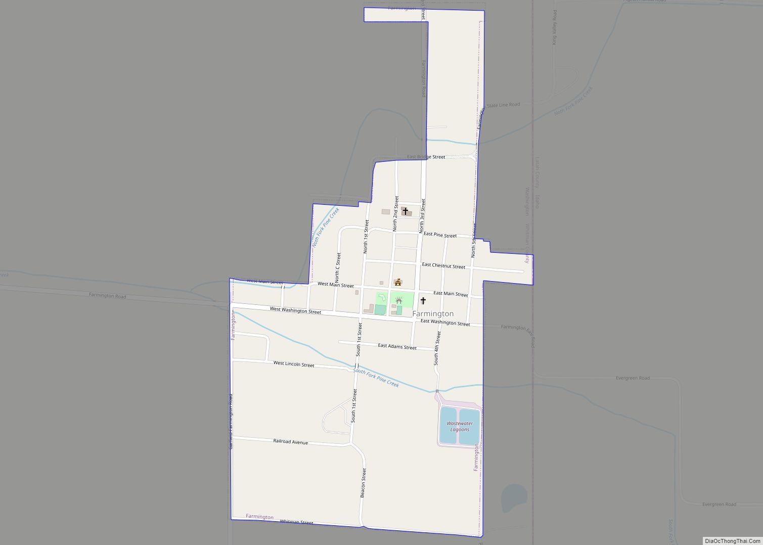
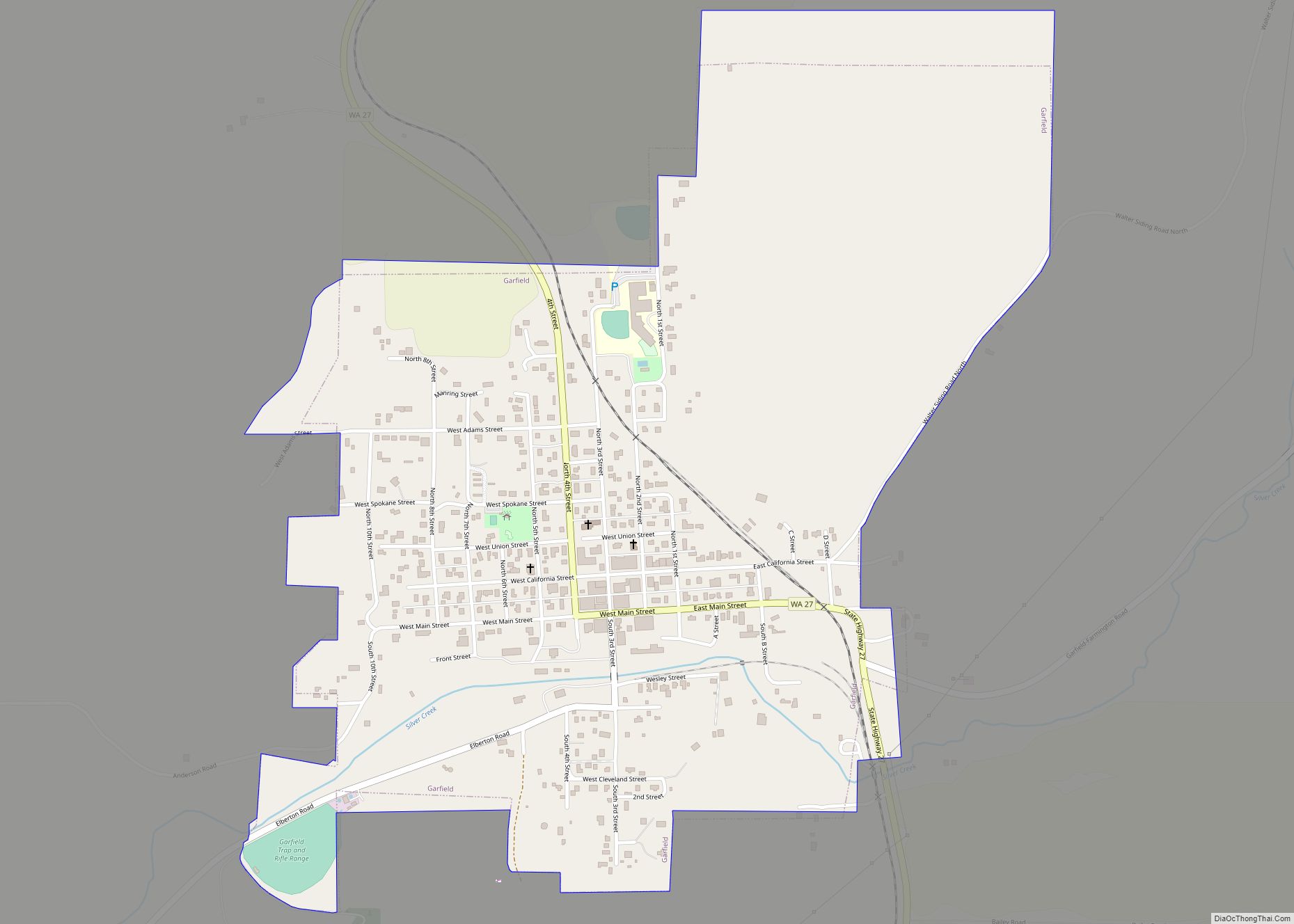
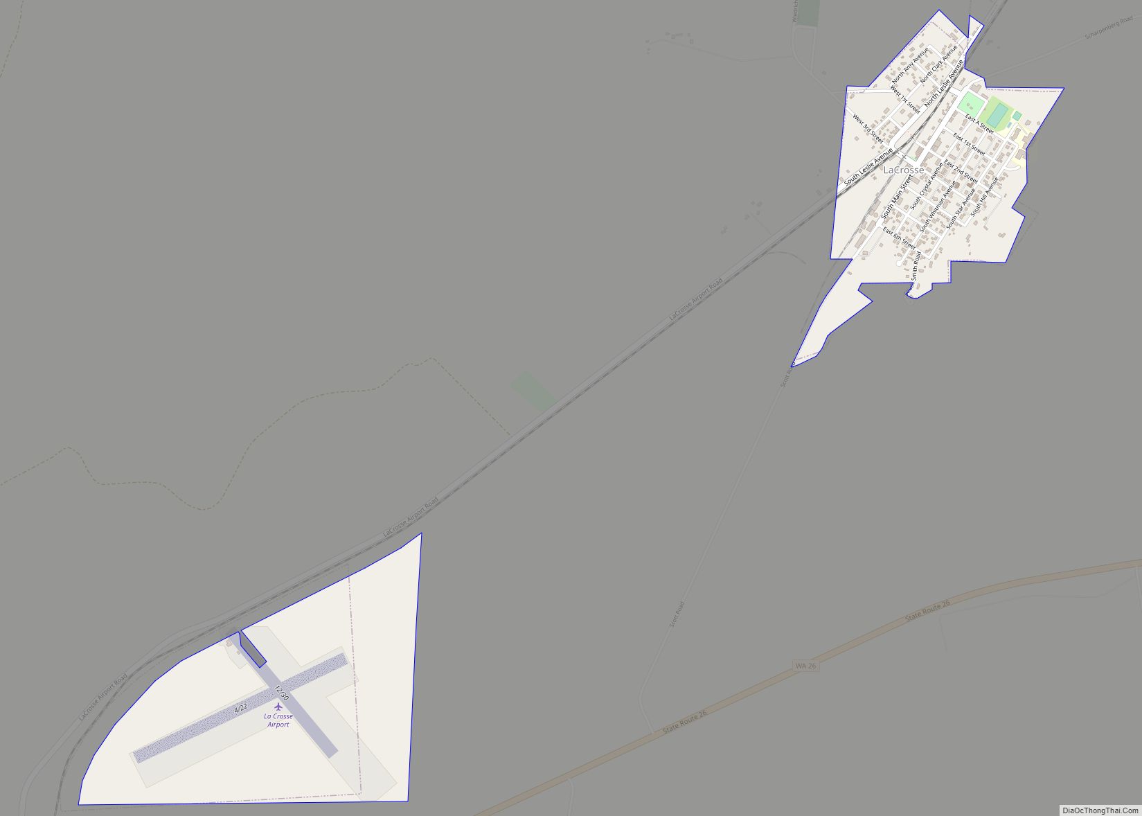
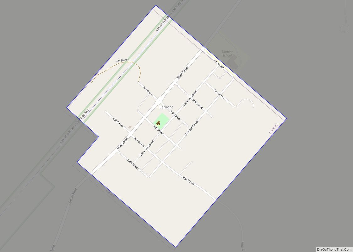
Pullman (/ˈpʊlmən/) is the largest city in Whitman County, located in southeastern Washington within the Palouse region of the Pacific Northwest. The population was 29,799 at the 2010 census, and estimated to be 34,506 in 2019. Originally founded as Three Forks, the city was renamed after industrialist George Pullman in 1884.
Pullman is noted as a fertile agricultural area known for its many miles of rolling hills and the production of wheat and legumes. It is home to Washington State University, a public research land-grant university, and the international headquarters of Schweitzer Engineering Laboratories. Pullman is eight miles (13 km) from Moscow, Idaho, home to the University of Idaho, and is served by the Pullman–Moscow Regional Airport.
| Name: | Pullman city |
|---|---|
| LSAD Code: | 25 |
| LSAD Description: | city (suffix) |
| State: | Washington |
| County: | Whitman County |
| Incorporated: | April 11, 1888 |
| Elevation: | 2,352 ft (717 m) |
| Total Area: | 10.93 sq mi (28.31 km²) |
| Land Area: | 10.93 sq mi (28.31 km²) |
| Water Area: | 0.00 sq mi (0.00 km²) |
| Total Population: | 29,799 |
| Population Density: | 3,157.29/sq mi (1,219.01/km²) |
| ZIP code: | 99163-99165 |
| Area code: | 509 |
| FIPS code: | 5356625 |
| GNISfeature ID: | 1531905 |
| Website: | pullman-wa.gov |
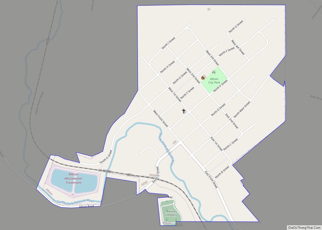
Online Interactive Map
Click on ![]() to view map in "full screen" mode.
to view map in "full screen" mode.
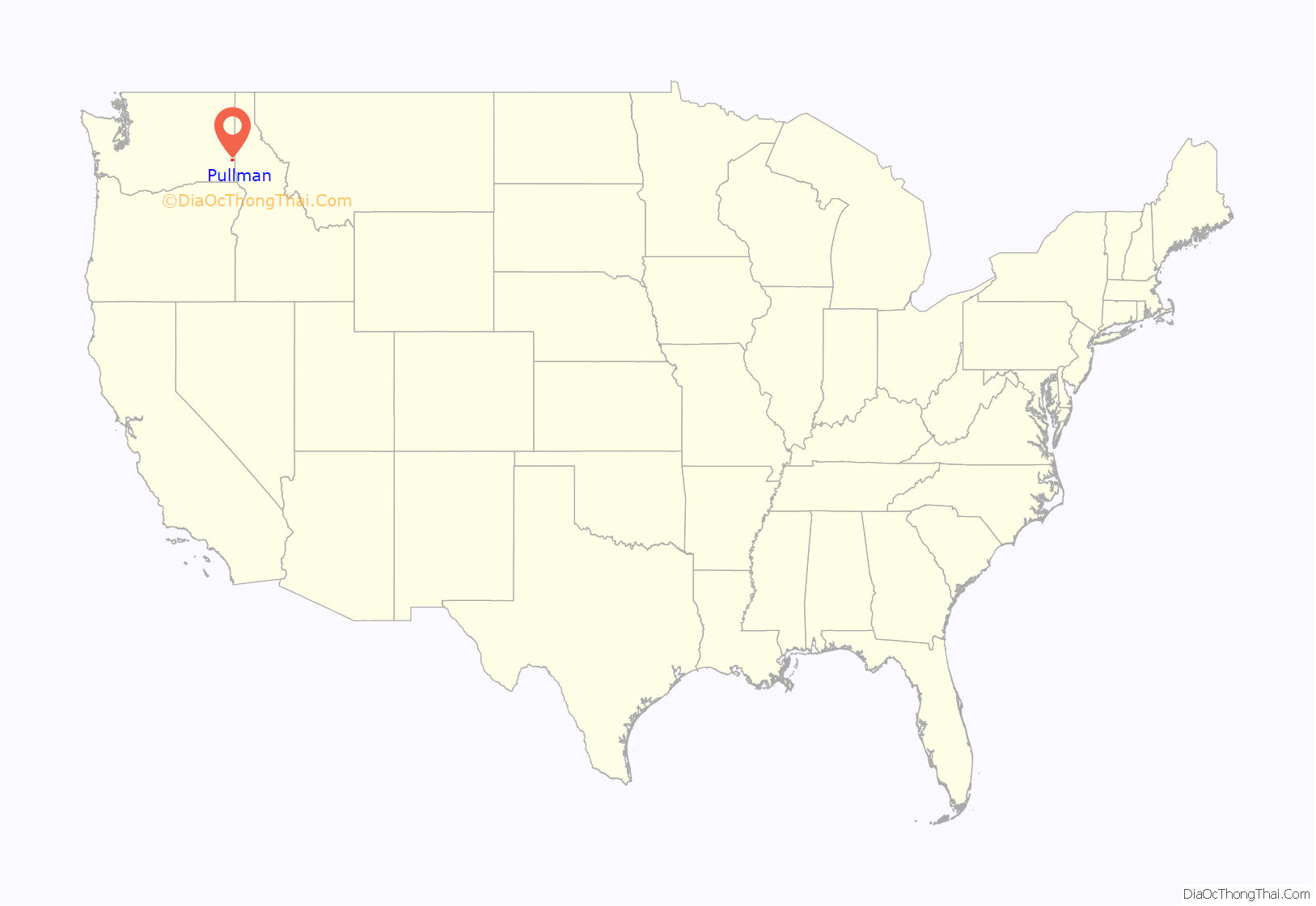
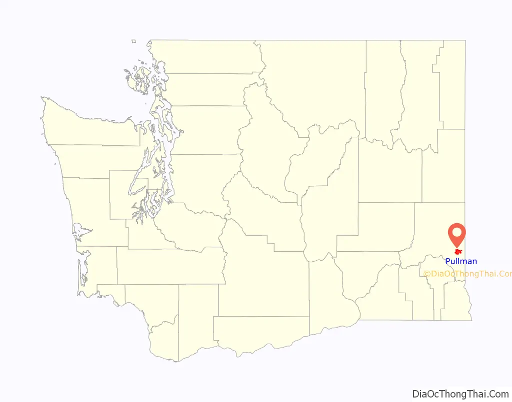
Pullman location map. Where is Pullman city?
History
In 1876, about five years after European-American settlers established Whitman County on November 29, 1871, Bolin Farr arrived in Pullman. He camped at the confluence of Dry Flat Creek and Missouri Flat Creek on the bank of the Palouse River. Within the year, Dan McKenzie and William Ellsworth arrived to stake claims for adjoining land. They named the first post office here as Three Forks. In the spring of 1881, Orville Stewart opened a general store and Bolin Farr platted about 10 acres (4.0 ha) of his land for a town.
Pullman was incorporated on April 11, 1888, with a population of about 250–300 people. It was originally named Three Forks, after the three small rivers that converge there: Missouri Flat Creek, Dry Fork, and the South Fork of the Palouse River. In 1884, Dan McKenzie and Charles Moore (of Moscow) replatted the site and named it for American industrialist George Pullman.
On March 28, 1890, the Washington State Legislature established the state’s land grant college, but did not designate a location. Pullman leaders were determined to secure the new college and offered 160 acres (0.65 km) of land for its campus. Idaho Territory had established its land grant college in 1889; the University of Idaho was to be in neighboring Moscow. On April 18, 1891, the site selection commission appointed by Washington’s governor chose Pullman. On January 13, 1892, the institution opened with 59 students under the name Washington Agricultural College and School of Science. It was renamed the State College of Washington in 1905, more commonly known as “Washington State College,” and became Washington State University in 1959.
In 1961, Pullman became a non-chartered code city under the mayor–council form of government. The city has an elected mayor with an elected seven-member council and an appointed administrative officer, the city administrator.
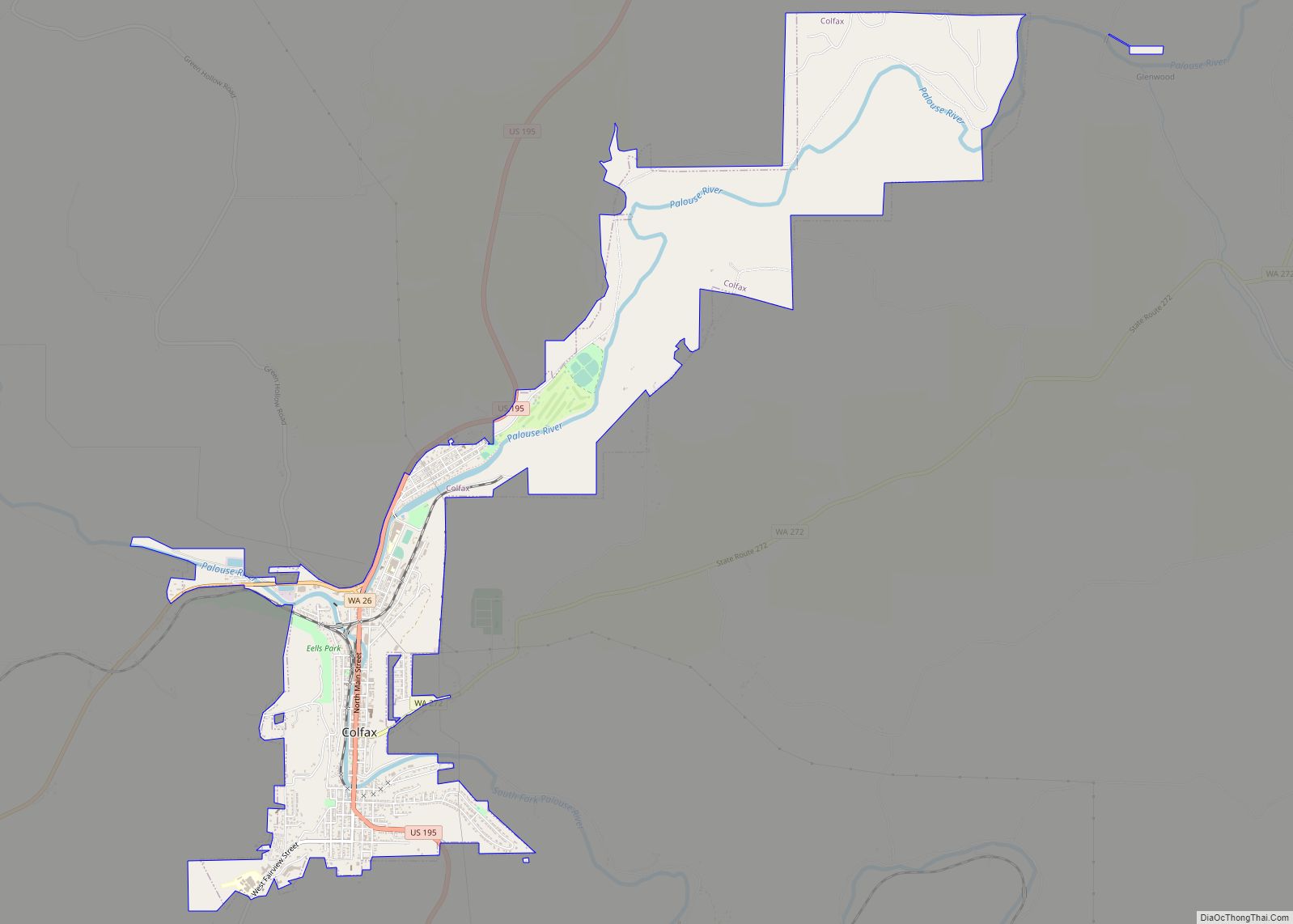
Pullman Road Map
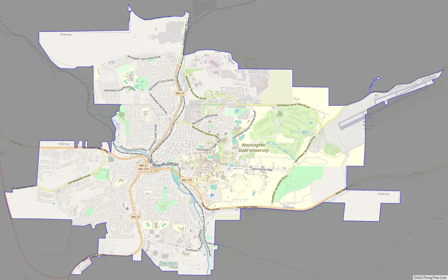
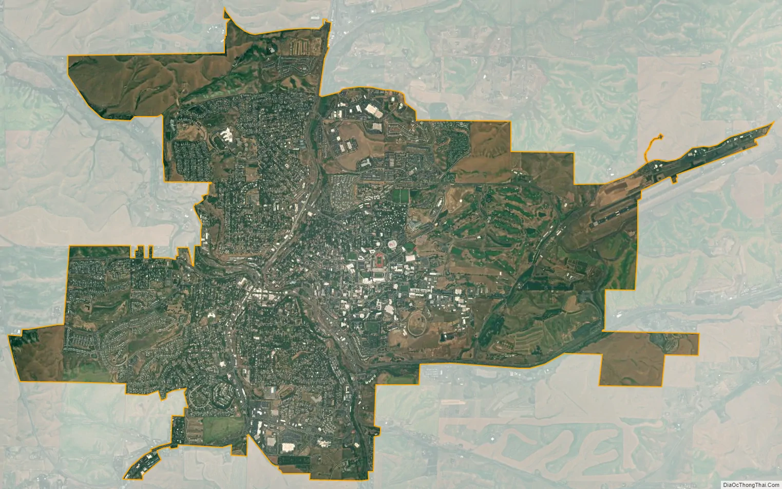
Pullman city Satellite Map
Geography
According to the United States Census Bureau, the city of Pullman has a total area of 9.88 square miles (25.6 km), all of it land. The city is in the eastern part of Whitman County in southeastern Washington, approximately 65 miles (105 km) south of Spokane and 22 miles (35 km) north of Lewiston, Idaho.
The city is situated across several loess hills which characterize the Palouse Prairie, formed from windblown sediment over an estimated period of over one million years. This prairie region, the Palouse, is noteworthy for its fertile rolling hills where winter and spring wheat, barley, lentils, and peas are grown. These hills provide a variety of elevations across the city, from 2342 to 2575 ft (714 to 785 m) above sea level. Downtown Pullman is situated in a valley between these hills. Within the Pullman city limits, the Missouri Flat Creek and Paradise Creek both join the South Fork of the Palouse River. Pullman sits in the watersheds of the Snake River and the Columbia River.
Pullman is situated across four major hills which divide the city into nearly equal quarters. These are:
- Military Hill, north of the Palouse River and west of North Grand Avenue
- Pioneer Hill, south of Main Street and the downtown area, and east of South Grand Avenue
- Sunnyside Hill, south of Davis Way and west of South Grand Avenue
- College Hill, north of Main Street and east of North Grand Avenue
Military Hill is named for the Pullman Military College that opened its doors in 1891 and burned down in 1893.
Climate
Pullman has a warm-summer Mediterranean climate (Köppen Csb). This climate is typified by hot, dry summers followed by cold, wet winters with short transitional seasons in between. Due to the rain shadow effect of the Cascade Range to its west, clear skies occur regularly throughout the year and rainfall is drastically less frequent in comparison to cities west of the mountains. Clouds of any variety are especially scant between June and September, which contributes to a diurnal temperature variation that is much higher during the summer compared to winter. Pullman has an annual average of 20.41 inches (518 mm) of precipitation.
See also
Map of Washington State and its subdivision:- Adams
- Asotin
- Benton
- Chelan
- Clallam
- Clark
- Columbia
- Cowlitz
- Douglas
- Ferry
- Franklin
- Garfield
- Grant
- Grays Harbor
- Island
- Jefferson
- King
- Kitsap
- Kittitas
- Klickitat
- Lewis
- Lincoln
- Mason
- Okanogan
- Pacific
- Pend Oreille
- Pierce
- San Juan
- Skagit
- Skamania
- Snohomish
- Spokane
- Stevens
- Thurston
- Wahkiakum
- Walla Walla
- Whatcom
- Whitman
- Yakima
- Alabama
- Alaska
- Arizona
- Arkansas
- California
- Colorado
- Connecticut
- Delaware
- District of Columbia
- Florida
- Georgia
- Hawaii
- Idaho
- Illinois
- Indiana
- Iowa
- Kansas
- Kentucky
- Louisiana
- Maine
- Maryland
- Massachusetts
- Michigan
- Minnesota
- Mississippi
- Missouri
- Montana
- Nebraska
- Nevada
- New Hampshire
- New Jersey
- New Mexico
- New York
- North Carolina
- North Dakota
- Ohio
- Oklahoma
- Oregon
- Pennsylvania
- Rhode Island
- South Carolina
- South Dakota
- Tennessee
- Texas
- Utah
- Vermont
- Virginia
- Washington
- West Virginia
- Wisconsin
- Wyoming