Salisbury (/ˈsɔːlzbəri/ SAWLZ-bear-ee) is a city in and the county seat of Wicomico County, Maryland, United States. Salisbury is the largest city in the state’s Eastern Shore region, with a population was 33,050 at the 2020 census. Salisbury is the principal city of the Salisbury, Maryland-Delaware Metropolitan Statistical Area. The city is the commercial hub of the Delmarva Peninsula, which was long devoted to agriculture and had a southern culture. It calls itself “The Comfortable Side of Coastal”.
| Name: | Salisbury city |
|---|---|
| LSAD Code: | 25 |
| LSAD Description: | city (suffix) |
| State: | Maryland |
| County: | Wicomico County |
| Founded: | 1732 |
| Incorporated: | 1854 |
| Elevation: | 26 ft (8 m) |
| Land Area: | 13.79 sq mi (35.70 km²) |
| Water Area: | 0.49 sq mi (1.27 km²) 3.39% |
| Population Density: | 2,397.53/sq mi (925.71/km²) |
| ZIP code: | 21801-21804 |
| Area code: | 410, 443, 667 |
| FIPS code: | 2469925 |
| GNISfeature ID: | 0591221 |
| Website: | salisbury.md |
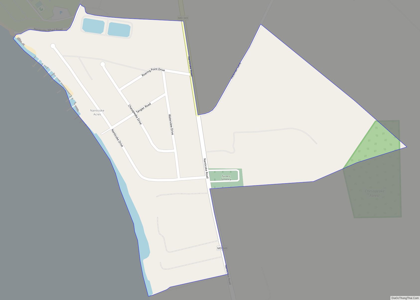
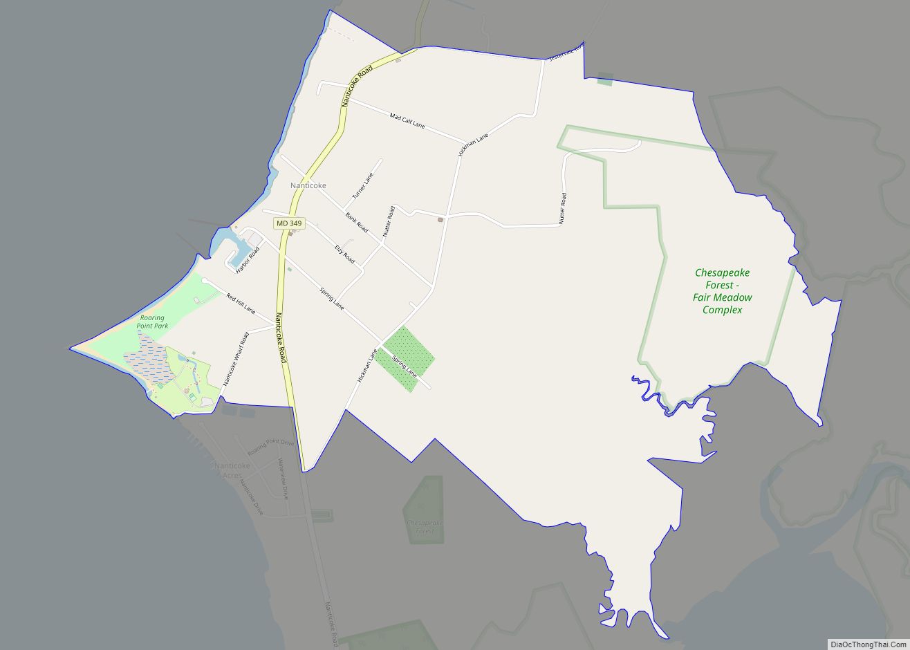
Online Interactive Map
Click on ![]() to view map in "full screen" mode.
to view map in "full screen" mode.
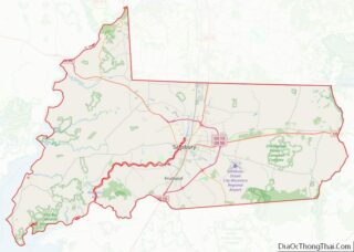
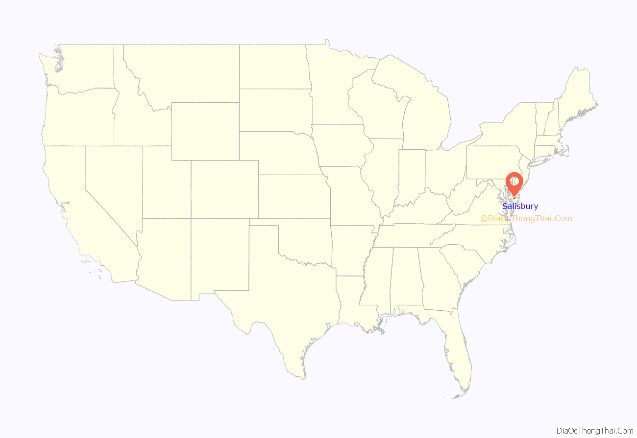
Salisbury location map. Where is Salisbury city?
History
Salisbury’s location at the head of Wicomico River was a major factor in growth. At first, it was a small colonial outpost set up by Lord Baltimore.
Salisbury’s location at the head of the Wicomico River was seen to be a convenient location for trading purposes. Due to the similar physical attributes as well as the nationality of Salisbury’s founders, many historians believe that the name was inspired by the city of Salisbury, England, an ancient cathedral city.
Salisbury also had a role in the Civil War, as it served as a location where Union forces encamped in order to search for sympathizers from the South. These Union forces also worked to inhibit the movement of contraband to Confederate forces in the South.
Disaster struck Salisbury in both 1860 and 1886, as fires burned through two-thirds of the Town. Although met with adversity, the resolve of the people of Salisbury was unshaken as the county in which Salisbury was located continued to grow, and Salisbury was considered to be the heart, or major town, of the county.
In 1867, when the Wicomico County was formed out of parts of both Somerset and Worcester Counties, Salisbury became the government seat.
Today, Salisbury attracts a wide variety of different businesses in addition to the county, state, and federal government offices.
Adding to the diversity of Salisbury, the City is host to a wide variety of events celebrating local culture and the arts. These events include 3rd Friday, an event held in downtown Salisbury on the third Friday of each month, celebrating local music, artists, and nonprofit organizations.
Salisbury is also home to a historical City Park, the Salisbury Zoo, The Centre at Salisbury shopping mall, and the Wicomico Youth & Civic Center.
The Gillis-Grier House, Honeysuckle Lodge, Sen. William P. Jackson House, Pemberton Hall, Perry-Cooper House, Poplar Hill Mansion, Union Station, and F. Leonard Wailes Law Office are listed on the National Register of Historic Places.
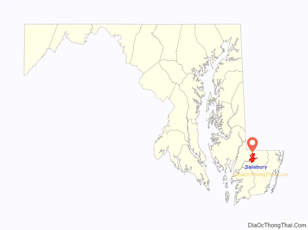
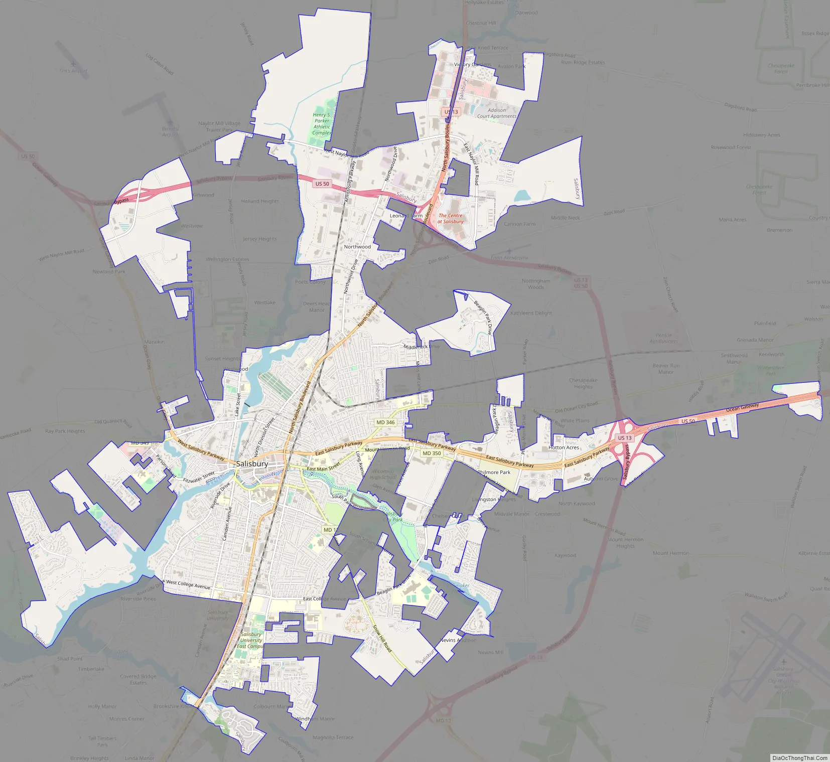
Salisbury Road Map
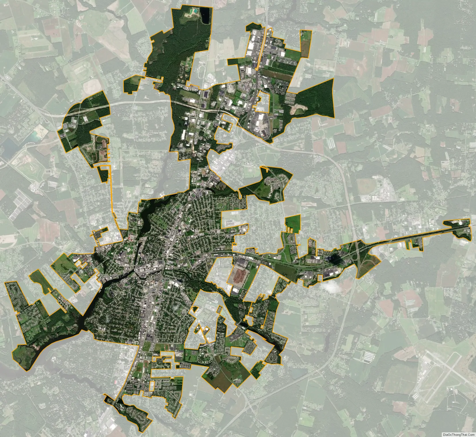
Salisbury city Satellite Map
Geography
Salisbury is located at 38°21′57″N 75°35′36″W / 38.36583°N 75.59333°W / 38.36583; -75.59333 (38.365806, −75.593361).
According to the United States Census Bureau, the city has a total area of 13.87 square miles (35.92 km), of which 13.40 square miles (34.71 km) is land and 0.47 square miles (1.22 km) is water. The city has a varying elevation of 17 to 45 feet (5.2 to 13.7 m) above sea level.
The nearest major cities to Salisbury are Baltimore 106 miles (171 km); Washington, D.C. 119 miles (192 km), Philadelphia 128 miles (206 km), Norfolk 132 miles (212 km), and Wilmington 96 miles (154 km).
See also
Map of Maryland State and its subdivision: Map of other states:- Alabama
- Alaska
- Arizona
- Arkansas
- California
- Colorado
- Connecticut
- Delaware
- District of Columbia
- Florida
- Georgia
- Hawaii
- Idaho
- Illinois
- Indiana
- Iowa
- Kansas
- Kentucky
- Louisiana
- Maine
- Maryland
- Massachusetts
- Michigan
- Minnesota
- Mississippi
- Missouri
- Montana
- Nebraska
- Nevada
- New Hampshire
- New Jersey
- New Mexico
- New York
- North Carolina
- North Dakota
- Ohio
- Oklahoma
- Oregon
- Pennsylvania
- Rhode Island
- South Carolina
- South Dakota
- Tennessee
- Texas
- Utah
- Vermont
- Virginia
- Washington
- West Virginia
- Wisconsin
- Wyoming