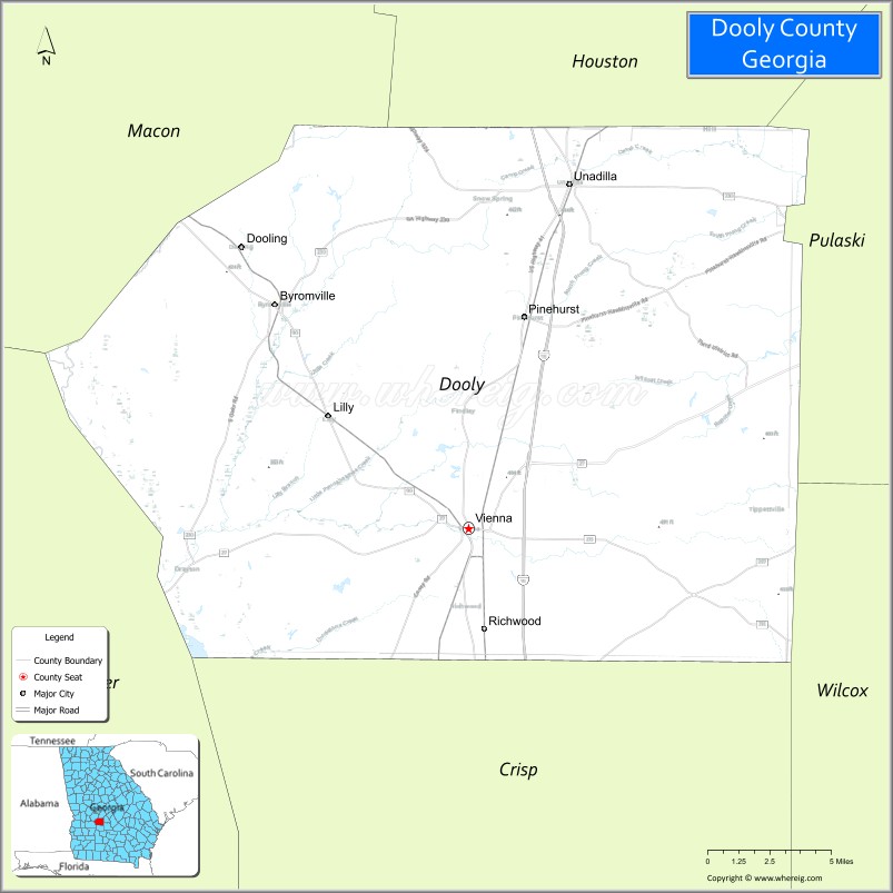
Dooly County is a county located in the central portion of the U.S. state of Georgia. As of the 2020 census, the population was 11,208. The county seat is Vienna. The county was created by an act of the Georgia General Assembly on May 15, 1821, and named for Colonel John Dooly, a Georgia American Revolutionary War fighter. It was one of the original landlot counties created from land ceded from the Creek Nation.
The entire county of Crisp and parts of Macon, Pulaski, Turner, Wilcox and Worth counties were formed from Dooly’s original borders.
| Name: | Dooly County |
|---|---|
| FIPS code: | 13-093 |
| State: | Georgia |
| Founded: | 1821 |
| Named for: | John Dooly |
| Seat: | Vienna |
| Largest city: | Vienna |
| Total Area: | 397 sq mi (1,030 km²) |
| Land Area: | 392 sq mi (1,020 km²) |
| Total Population: | 11,208 |
| Population Density: | 29/sq mi (11/km²) |
| Time zone: | UTC−5 (Eastern) |
| Summer Time Zone (DST): | UTC−4 (EDT) |
| Website: | doolycountyga.com |
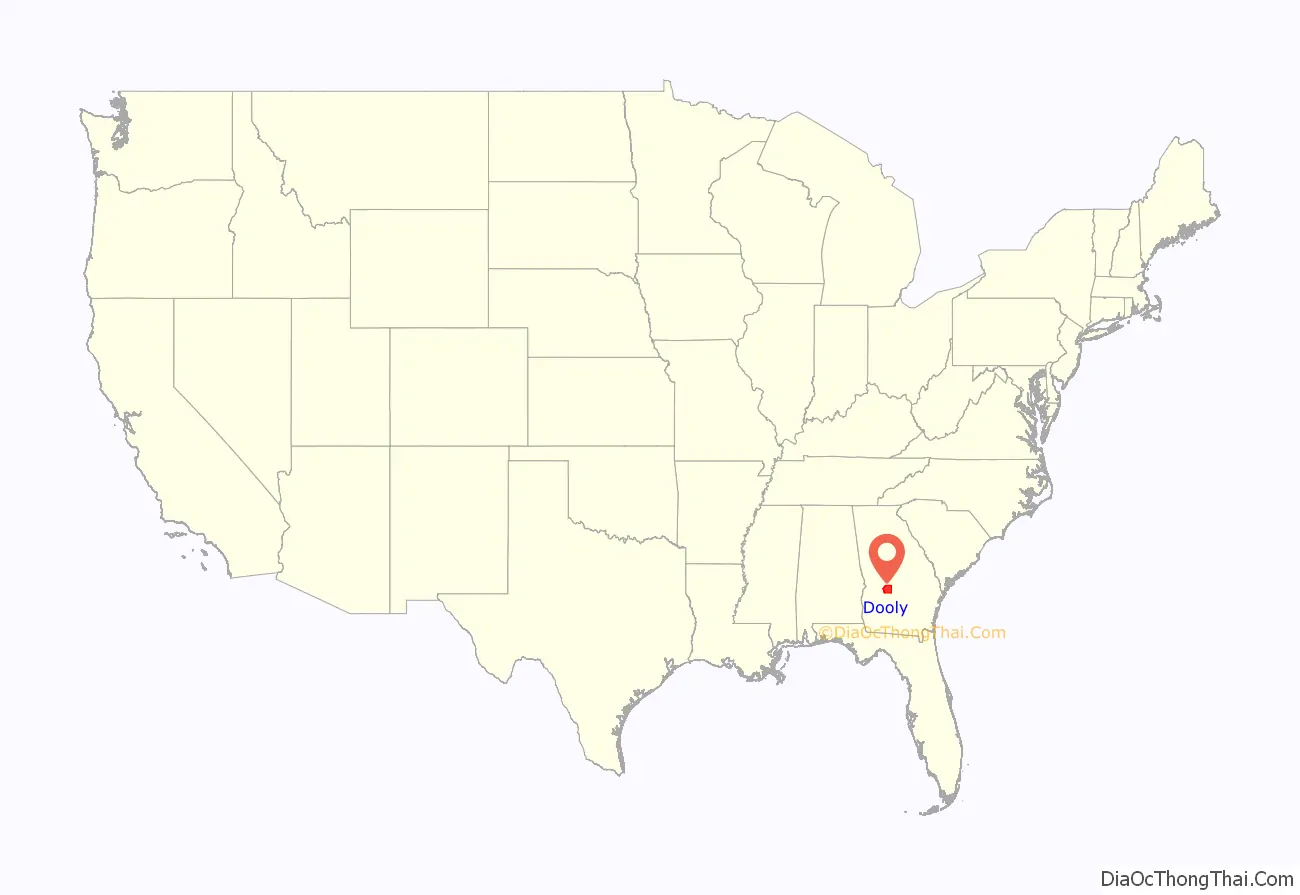
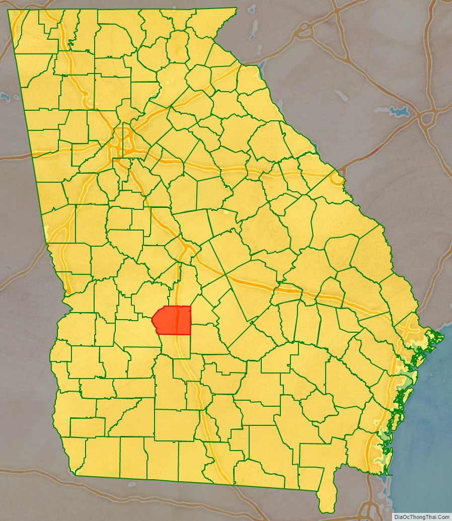
Dooly County location map. Where is Dooly County?
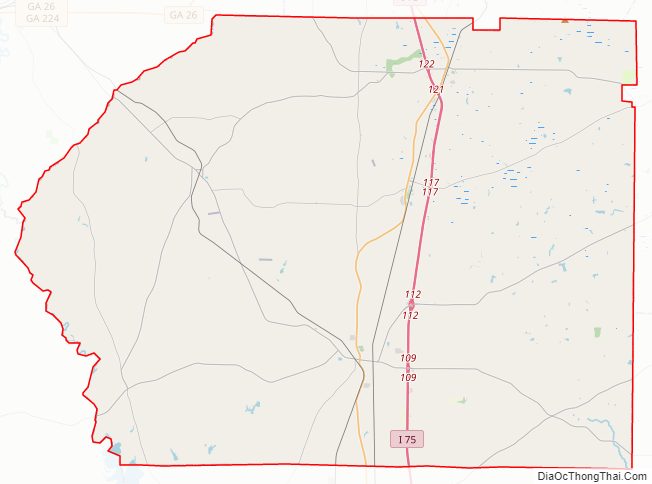
Dooly County Road Map
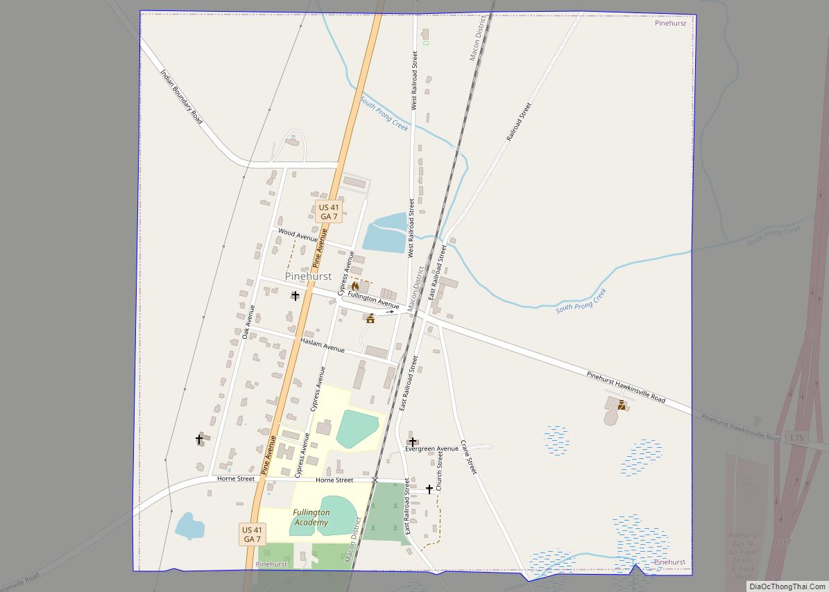
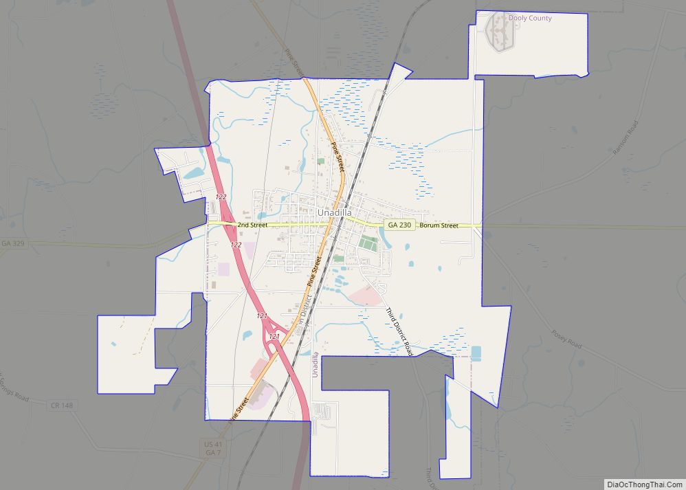
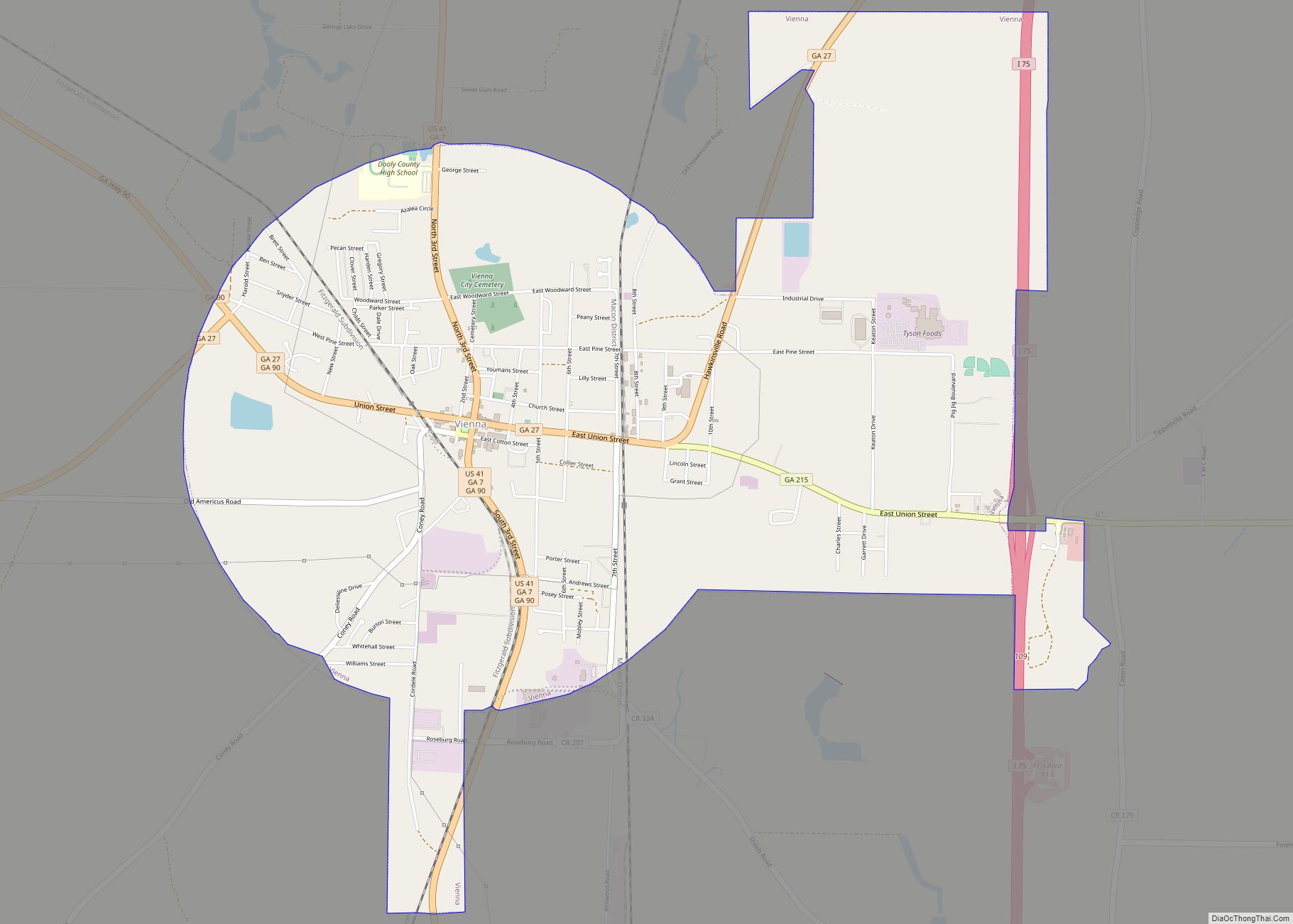
Geography
According to the U.S. Census Bureau, the county has a total area of 397 square miles (1,030 km), of which 392 square miles (1,020 km) is land and 5.3 square miles (14 km) (1.3%) is water. The county is located in the upper Atlantic coastal plain region of the state.
The western two-thirds of Dooly County, from west of Unadilla south to Pinehurst, then to the southeastern corner of the county, is located in the Middle Flint River sub-basin of the ACF River Basin (Apalachicola-Chattahoochee-Flint River Basin). The northeastern and eastern portion of Dooly County is located in the Lower Ocmulgee River sub-basin of the Altamaha River basin. The very southeastern corner of the county is located in the Alapaha River sub-basin of the Suwannee River basin.
Major highways
- Interstate 75
- U.S. Route 41
- State Route 7
- State Route 27
- State Route 90
- State Route 215
- State Route 230
- State Route 230 Connector
- State Route 257
- State Route 329
- State Route 401 (unsigned designation for I-75)
Adjacent counties
- Houston County – northeast
- Pulaski County – east
- Wilcox County – southeast
- Crisp County – south
- Sumter County – west
- Macon County – northwest
Dooly County Topographic Map
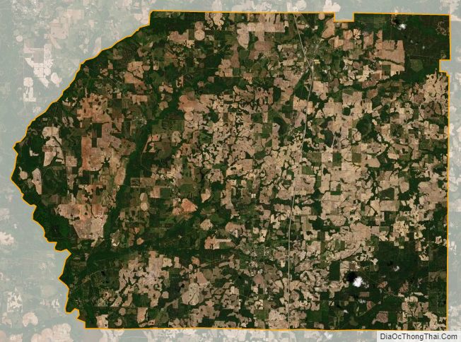
Dooly County Satellite Map
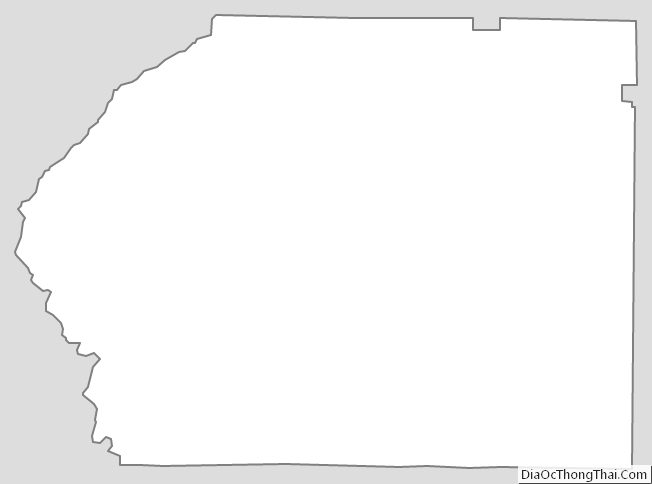
Dooly County Outline Map