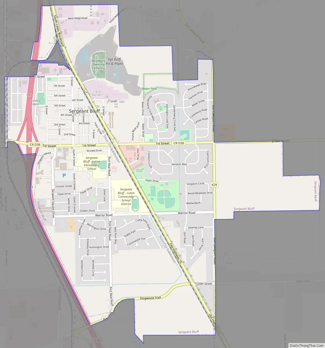
Sergeant Bluff is a city in Woodbury County, Iowa, United States. It is part of the Sioux City, IA–NE–SD Metropolitan Statistical Area. The population was 5,015 at the time of the 2020 census.
| Name: | Sergeant Bluff city |
|---|---|
| LSAD Code: | 25 |
| LSAD Description: | city (suffix) |
| State: | Iowa |
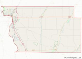
| County: | Woodbury County |
| Elevation: | 1,093 ft (333 m) |
| Total Area: | 2.97 sq mi (7.70 km²) |
| Land Area: | 2.97 sq mi (7.70 km²) |
| Water Area: | 0.00 sq mi (0.00 km²) |
| Total Population: | 5,015 |
| Population Density: | 1,687.42/sq mi (651.52/km²) |
| ZIP code: | 51054 |
| Area code: | 712 |
| FIPS code: | 1971625 |
| GNISfeature ID: | 0461507 |
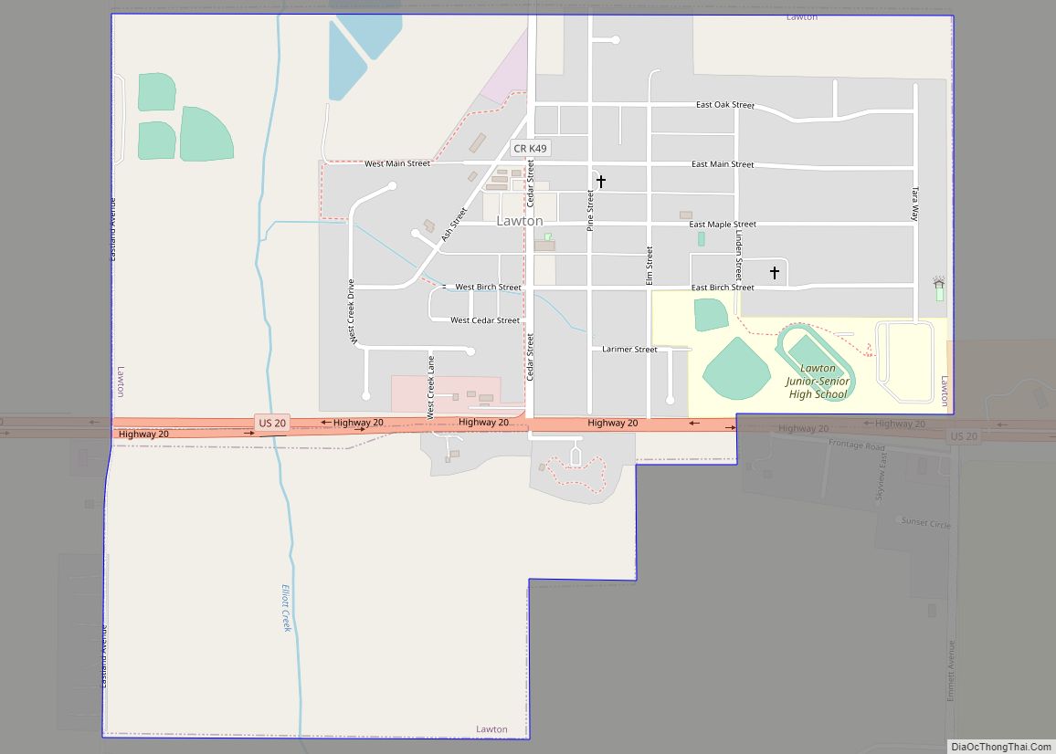
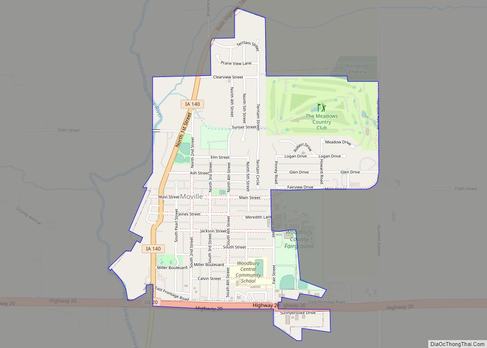
Online Interactive Map
Click on ![]() to view map in "full screen" mode.
to view map in "full screen" mode.
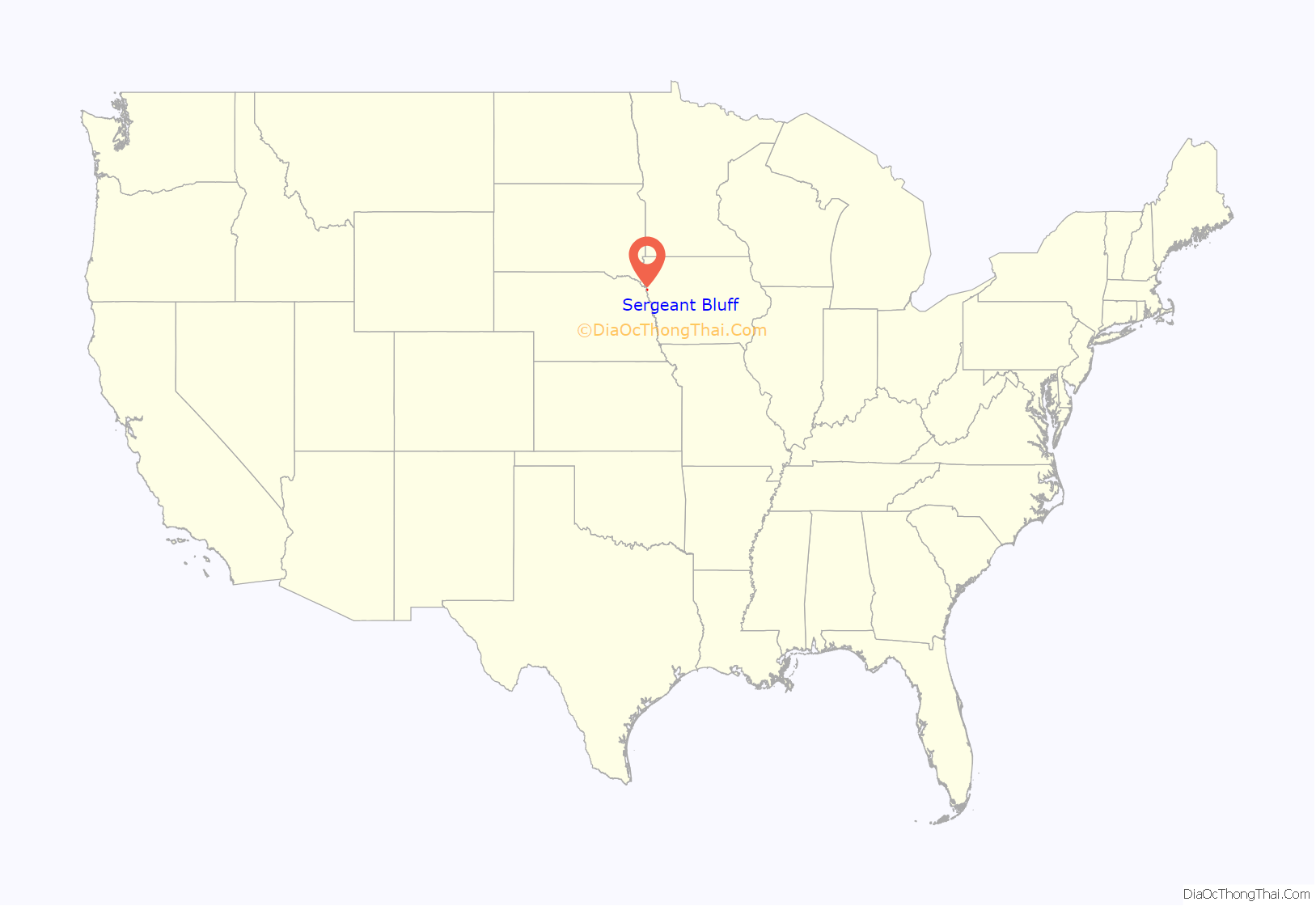
Sergeant Bluff location map. Where is Sergeant Bluff city?
History
The city was named in honor of U.S. Army Sergeant Charles Floyd, a native of Kentucky who was one of the first men to enlist in the Lewis and Clark Expedition in the early 1800s. Just three months into the two-year journey, Floyd became violently ill and died the next day, August 20, 1804, of what is believed to have been a ruptured appendix. He was buried on a hill overlooking an unnamed river on the Iowa side of the Missouri River. In his honor, the expedition’s leaders, Meriwether Lewis and William Clark, named the river Floyd River and the hill Floyd’s Bluff, now part of Sioux City. Floyd was the expedition’s only casualty.
The village of Sergeant Bluff was started in 1852, south of what became Sioux City, and under the name of Sergeant’s Bluff City, it become the first town in Woodbury County. The city was incorporated May 2, 1904 in the centennial year of Floyd’s death.
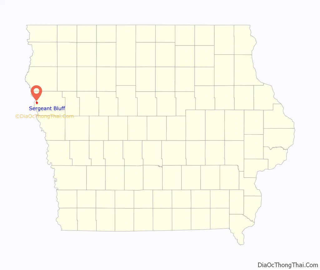
Sergeant Bluff Road Map
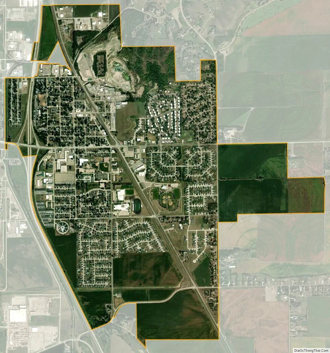
Sergeant Bluff city Satellite Map
Geography
Sergeant Bluff is located at 42°24′7″N 96°21′30″W / 42.40194°N 96.35833°W / 42.40194; -96.35833 (42.402055, -96.358316).
According to the United States Census Bureau, the city has a total area of 2.11 square miles (5.46 km), all land.
The city is located just south of Sioux City at the edge of the Loess Hills. The Sioux Gateway Airport (SUX) is adjacent to Sergeant Bluff, on the floodplain of the Missouri River. The city is home to a large brickmaking industry, and is near the Port Neal industrial complex. Interstate 29 cuts through the city, dividing residential and industrial areas.
See also
Map of Iowa State and its subdivision:- Adair
- Adams
- Allamakee
- Appanoose
- Audubon
- Benton
- Black Hawk
- Boone
- Bremer
- Buchanan
- Buena Vista
- Butler
- Calhoun
- Carroll
- Cass
- Cedar
- Cerro Gordo
- Cherokee
- Chickasaw
- Clarke
- Clay
- Clayton
- Clinton
- Crawford
- Dallas
- Davis
- Decatur
- Delaware
- Des Moines
- Dickinson
- Dubuque
- Emmet
- Fayette
- Floyd
- Franklin
- Fremont
- Greene
- Grundy
- Guthrie
- Hamilton
- Hancock
- Hardin
- Harrison
- Henry
- Howard
- Humboldt
- Ida
- Iowa
- Jackson
- Jasper
- Jefferson
- Johnson
- Jones
- Keokuk
- Kossuth
- Lee
- Linn
- Louisa
- Lucas
- Lyon
- Madison
- Mahaska
- Marion
- Marshall
- Mills
- Mitchell
- Monona
- Monroe
- Montgomery
- Muscatine
- O'Brien
- Osceola
- Page
- Palo Alto
- Plymouth
- Pocahontas
- Polk
- Pottawattamie
- Poweshiek
- Ringgold
- Sac
- Scott
- Shelby
- Sioux
- Story
- Tama
- Taylor
- Union
- Van Buren
- Wapello
- Warren
- Washington
- Wayne
- Webster
- Winnebago
- Winneshiek
- Woodbury
- Worth
- Wright
- Alabama
- Alaska
- Arizona
- Arkansas
- California
- Colorado
- Connecticut
- Delaware
- District of Columbia
- Florida
- Georgia
- Hawaii
- Idaho
- Illinois
- Indiana
- Iowa
- Kansas
- Kentucky
- Louisiana
- Maine
- Maryland
- Massachusetts
- Michigan
- Minnesota
- Mississippi
- Missouri
- Montana
- Nebraska
- Nevada
- New Hampshire
- New Jersey
- New Mexico
- New York
- North Carolina
- North Dakota
- Ohio
- Oklahoma
- Oregon
- Pennsylvania
- Rhode Island
- South Carolina
- South Dakota
- Tennessee
- Texas
- Utah
- Vermont
- Virginia
- Washington
- West Virginia
- Wisconsin
- Wyoming