Versailles (/vərˈseɪlz/) is a home rule-class city in Woodford County, Kentucky, United States. It lies 13 miles (21 kilometers) by road west of Lexington and is part of the Lexington-Fayette Metropolitan Statistical Area. Versailles has a population of 9,316 according to 2017 census estimates. It is the county seat of Woodford County. The city’s name is pronounced /vərˈseɪlz/ vər-SAYLZ, an anglicization different from the French pronunciation of the royal city of the same name near Paris.
| Name: | Versailles city |
|---|---|
| LSAD Code: | 25 |
| LSAD Description: | city (suffix) |
| State: | Kentucky |
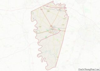
| County: | Woodford County |
| Elevation: | 892 ft (272 m) |
| Total Area: | 6.35 sq mi (16.44 km²) |
| Land Area: | 6.31 sq mi (16.33 km²) |
| Water Area: | 0.04 sq mi (0.11 km²) |
| Total Population: | 10,347 |
| Population Density: | 1,640.56/sq mi (633.44/km²) |
| ZIP code: | 40383, 40384, 40386 |
| Area code: | 859 |
| FIPS code: | 2179482 |
| GNISfeature ID: | 0506028 |
| Website: | versailles.ky.gov |
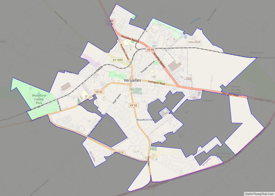
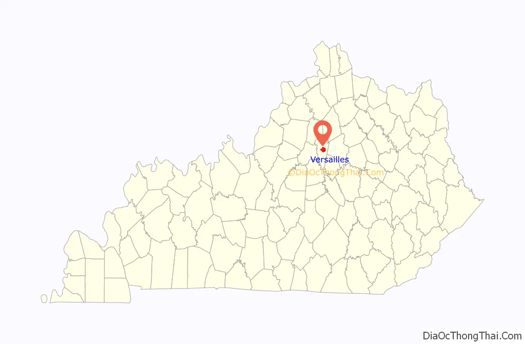
Online Interactive Map
Click on ![]() to view map in "full screen" mode.
to view map in "full screen" mode.
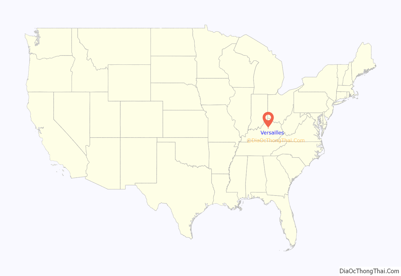
Versailles location map. Where is Versailles city?
History
Versailles was founded on June 23, 1792, on 80 acres (32 hectares) of land owned by Hezekiah Briscoe, at the time only a child. His guardian, Marquis Calmes, named the town after Versailles, France, in honor of General Lafayette, a family friend and hero of the American Revolution. Located in what became known as the Bluegrass Region of Kentucky, where farmers also raised thoroughbred horses and other high-quality livestock, the city was officially incorporated on February 13, 1837. It was briefly occupied during the American Civil War by both Confederate and Union forces.
In 1870, black residents of Versailles took part in a demonstration against police violence after a white officer struck a black man with his pistol. Demonstrators formed armed pickets and guarded roads in and out of Versailles. Two of the leaders were subsequently lynched by a local militia company.
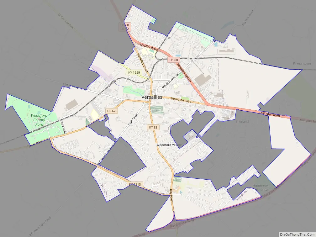
Versailles Road Map
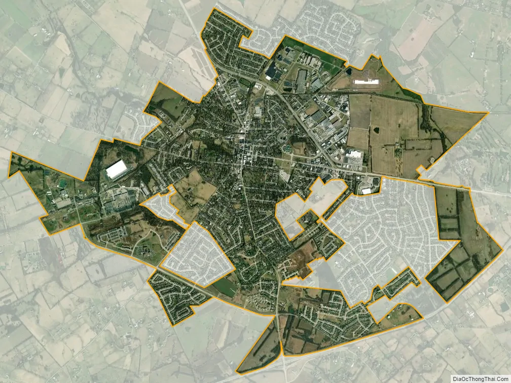
Versailles city Satellite Map
Geography
According to the United States Census Bureau, the city has a total area of 2.8 square miles (7.3 km), all land.
See also
Map of Kentucky State and its subdivision:- Adair
- Allen
- Anderson
- Ballard
- Barren
- Bath
- Bell
- Boone
- Bourbon
- Boyd
- Boyle
- Bracken
- Breathitt
- Breckinridge
- Bullitt
- Butler
- Caldwell
- Calloway
- Campbell
- Carlisle
- Carroll
- Carter
- Casey
- Christian
- Clark
- Clay
- Clinton
- Crittenden
- Cumberland
- Daviess
- Edmonson
- Elliott
- Estill
- Fayette
- Fleming
- Floyd
- Franklin
- Fulton
- Gallatin
- Garrard
- Grant
- Graves
- Grayson
- Green
- Greenup
- Hancock
- Hardin
- Harlan
- Harrison
- Hart
- Henderson
- Henry
- Hickman
- Hopkins
- Jackson
- Jefferson
- Jessamine
- Johnson
- Kenton
- Knott
- Knox
- Larue
- Laurel
- Lawrence
- Lee
- Leslie
- Letcher
- Lewis
- Lincoln
- Livingston
- Logan
- Lyon
- Madison
- Magoffin
- Marion
- Marshall
- Martin
- Mason
- McCracken
- McCreary
- McLean
- Meade
- Menifee
- Mercer
- Metcalfe
- Monroe
- Montgomery
- Morgan
- Muhlenberg
- Nelson
- Nicholas
- Ohio
- Oldham
- Owen
- Owsley
- Pendleton
- Perry
- Pike
- Powell
- Pulaski
- Robertson
- Rockcastle
- Rowan
- Russell
- Scott
- Shelby
- Simpson
- Spencer
- Taylor
- Todd
- Trigg
- Trimble
- Union
- Warren
- Washington
- Wayne
- Webster
- Whitley
- Wolfe
- Woodford
- Alabama
- Alaska
- Arizona
- Arkansas
- California
- Colorado
- Connecticut
- Delaware
- District of Columbia
- Florida
- Georgia
- Hawaii
- Idaho
- Illinois
- Indiana
- Iowa
- Kansas
- Kentucky
- Louisiana
- Maine
- Maryland
- Massachusetts
- Michigan
- Minnesota
- Mississippi
- Missouri
- Montana
- Nebraska
- Nevada
- New Hampshire
- New Jersey
- New Mexico
- New York
- North Carolina
- North Dakota
- Ohio
- Oklahoma
- Oregon
- Pennsylvania
- Rhode Island
- South Carolina
- South Dakota
- Tennessee
- Texas
- Utah
- Vermont
- Virginia
- Washington
- West Virginia
- Wisconsin
- Wyoming