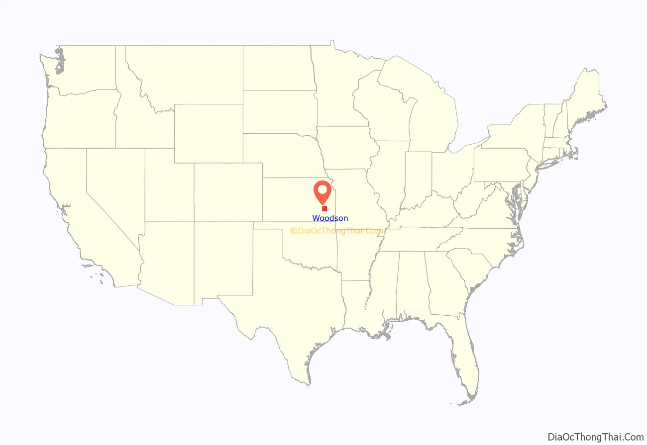
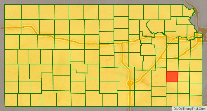
Woodson County (standard abbreviation: WO) is a county located in the U.S. state of Kansas. As of the 2020 census, the county population was 3,115. Its county seat is Yates Center.
| Name: | Woodson County |
|---|---|
| FIPS code: | 20-207 |
| State: | Kansas |
| Founded: | 1855 |
| Named for: | Daniel Woodson |
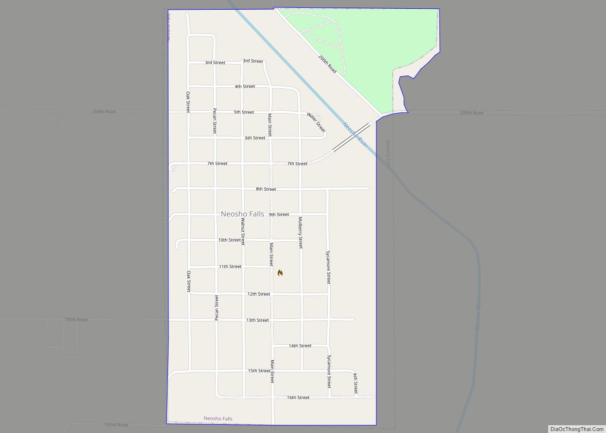
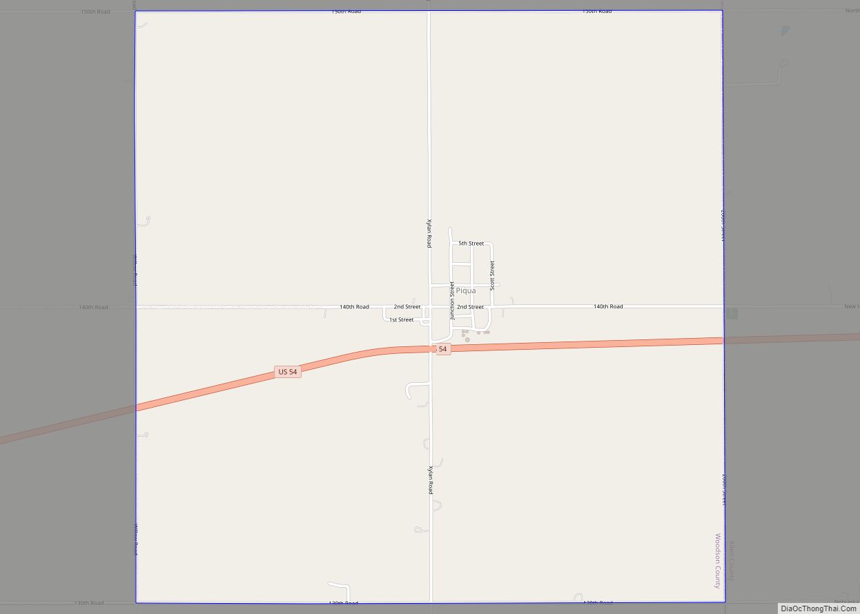
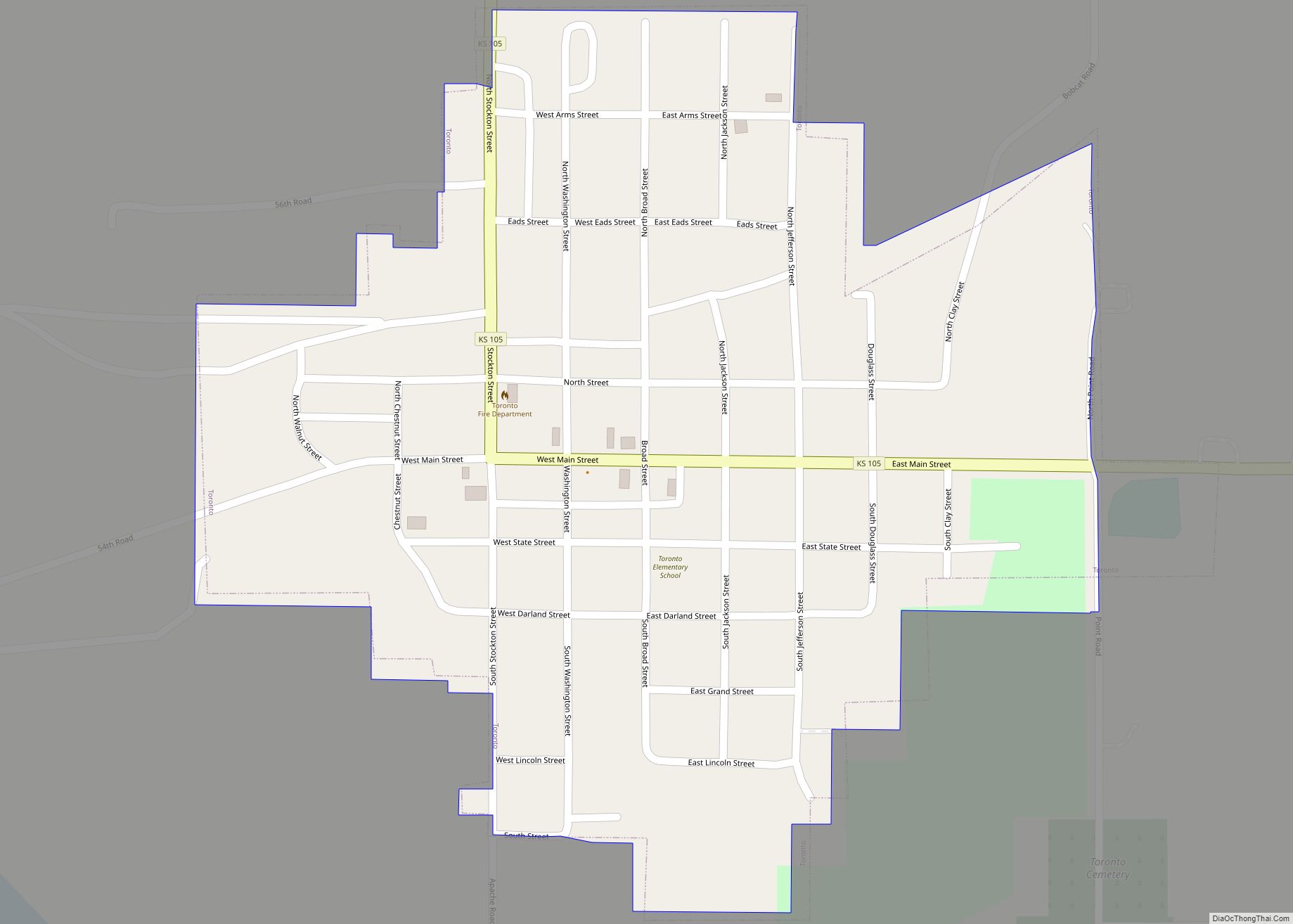
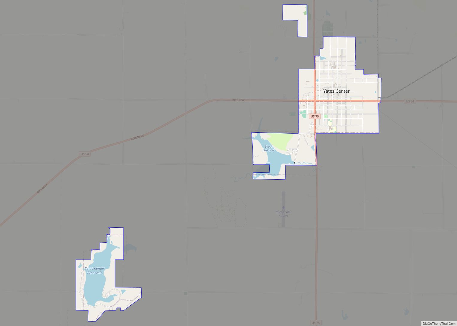
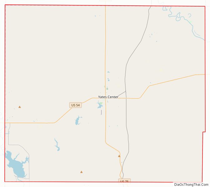
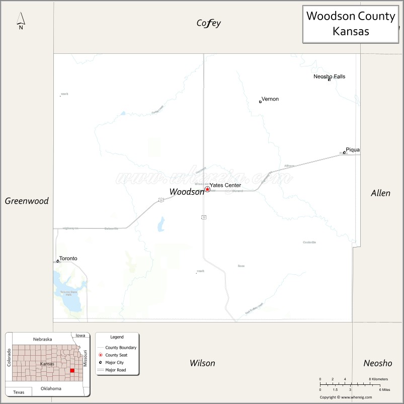
| Seat: | Yates Center |
| Largest city: | Yates Center |
| Total Area: | 505 sq mi (1,310 km²) |
| Land Area: | 498 sq mi (1,290 km²) |
| Total Population: | 3,115 |
| Population Density: | 6.3/sq mi (2.4/km²) |
| Time zone: | UTC−6 (Central) |
| Summer Time Zone (DST): | UTC−5 (CDT) |
| Website: | WoodsonCounty.net |
Woodson County location map. Where is Woodson County?
History
Early history
For many millennia, the Great Plains of North America was inhabited by nomadic Native Americans. From the 16th century to 18th century, the Kingdom of France claimed ownership of large parts of North America. In 1762, after the French and Indian War, France secretly ceded New France to Spain, per the Treaty of Fontainebleau.
19th century
In 1802, Spain returned most of the land to France, but keeping title to about 7,500 square miles. In 1803, most of the land for modern day Kansas was acquired by the United States from France as part of the 828,000 square mile Louisiana Purchase for 2.83 cents per acre.
In 1854, the Kansas Territory was organized, then in 1861 Kansas became the 34th U.S. state. In 1855, Woodson County was established. Fort Belmont was used during the Civil War and had received refugees from the Trail of Blood on Ice. Opothleyahola is buried in an unmarked grave next to his daughter who died at the fort.
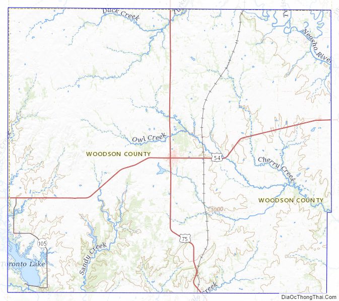
Woodson County Road Map
Geography
According to the U.S. Census Bureau, the county has a total area of 505 square miles (1,310 km), of which 498 square miles (1,290 km) is land and 7.4 square miles (19 km) (1.5%) is water.
Adjacent counties
- Coffey County (north)
- Anderson County (northeast)
- Allen County (east)
- Neosho County (southeast)
- Wilson County (south)
- Greenwood County (west)
Woodson County Topographic Map
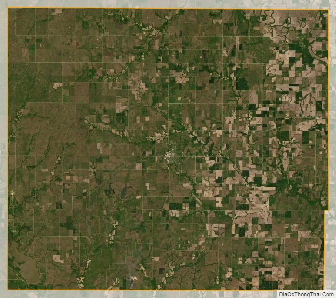
Woodson County Satellite Map
Woodson County Outline Map