Zapata County is a county located in the U.S. state of Texas. As of the 2020 census, its population was 13,889. Its county seat is Zapata. The county is named for Colonel José Antonio de Zapata, a rancher in the area who rebelled against Mexico.
Zapata County comprises the Zapata, TX Micropolitan Statistical Area.
The South Texas Oil Boom included wells drilled in Zapata County in the early 1920s through the work of Laredo industrialist Oliver Winfield Killam, a Missouri native who once served as an Oklahoma state legislator. It is east from the Mexico–United States border.
| Name: | Zapata County |
|---|---|
| FIPS code: | 48-505 |
| State: | Texas |
| Founded: | January 22, 1858 |
| Named for: | Colonel José Antonio de Zapata |
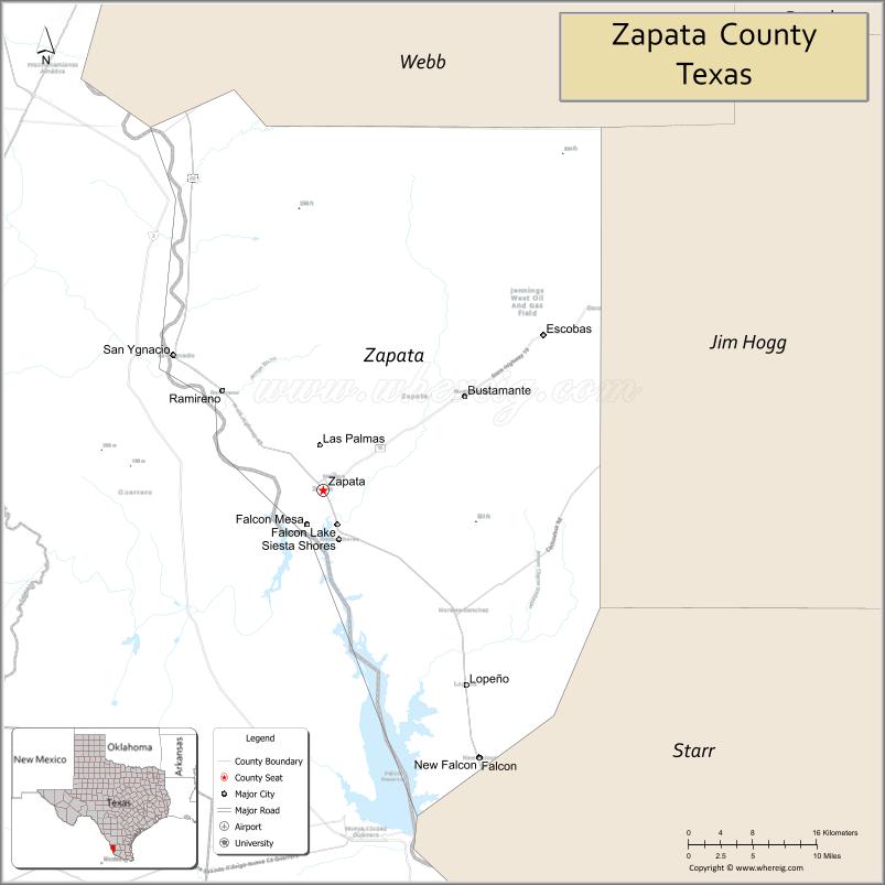
| Seat: | Zapata |
| Total Area: | 1,058 sq mi (2,740 km²) |
| Land Area: | 998 sq mi (2,580 km²) |
| Total Population: | 13,889 |
| Population Density: | 13/sq mi (5.1/km²) |
| Time zone: | UTC−6 (Central) |
| Summer Time Zone (DST): | UTC−5 (CDT) |
| Website: | www.co.zapata.tx.us |
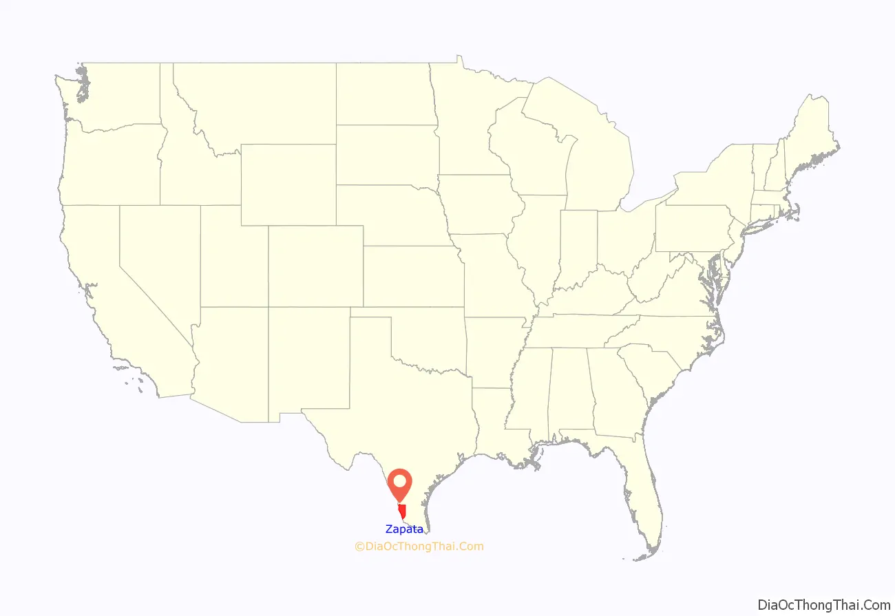
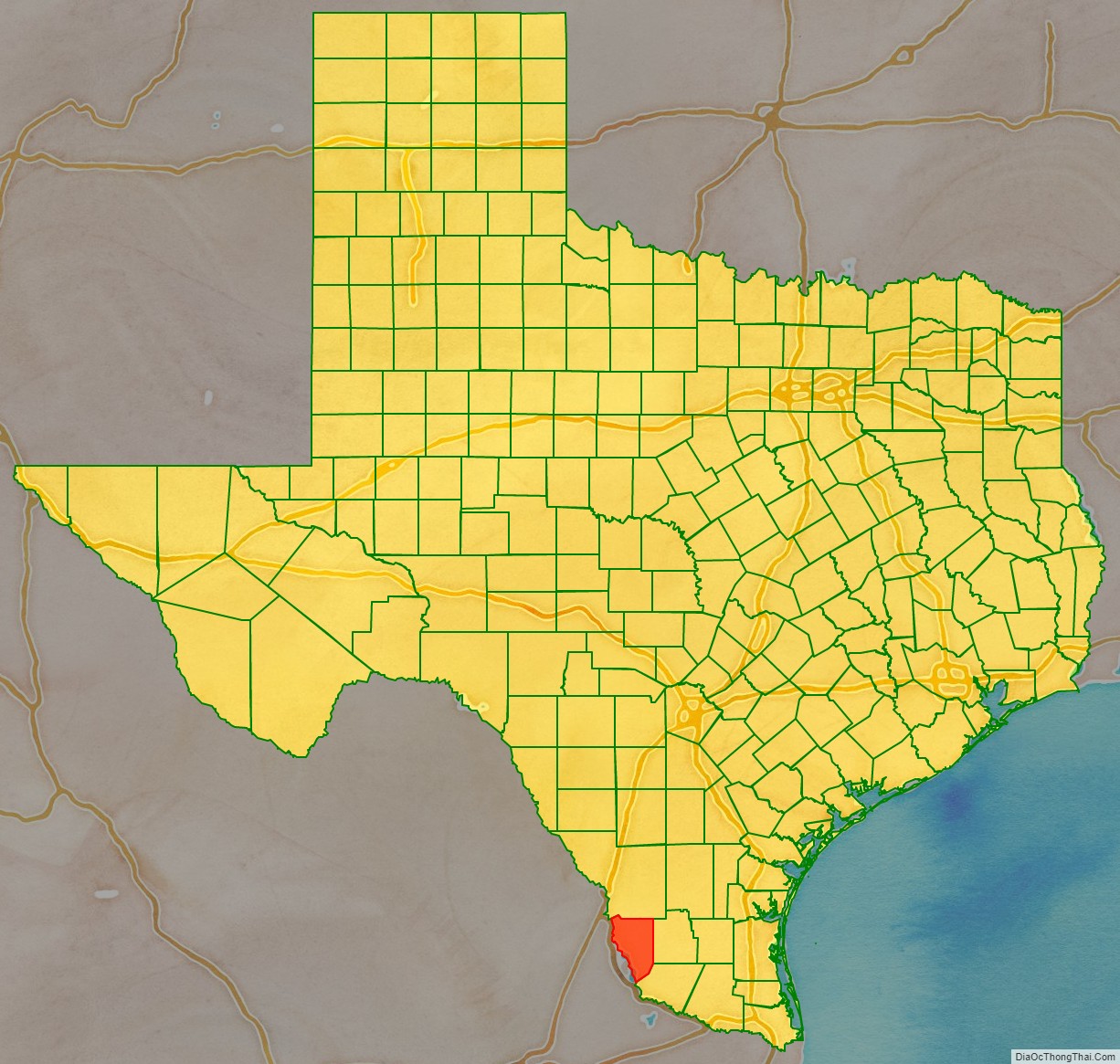
Zapata County location map. Where is Zapata County?
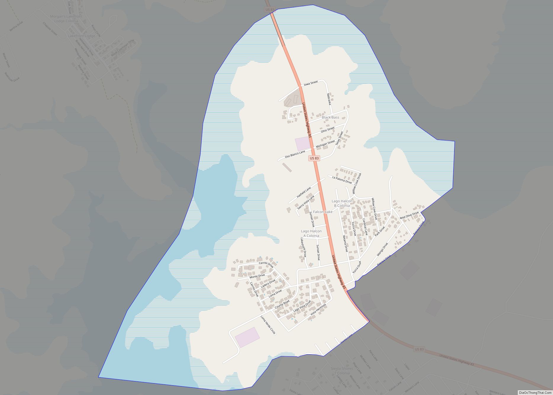
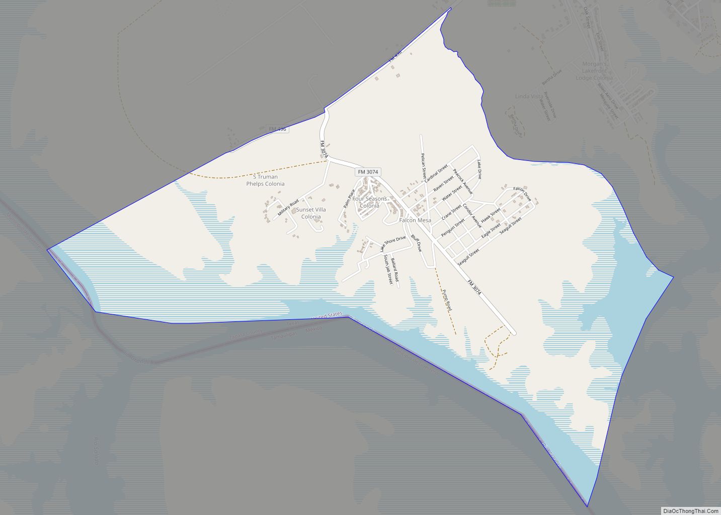
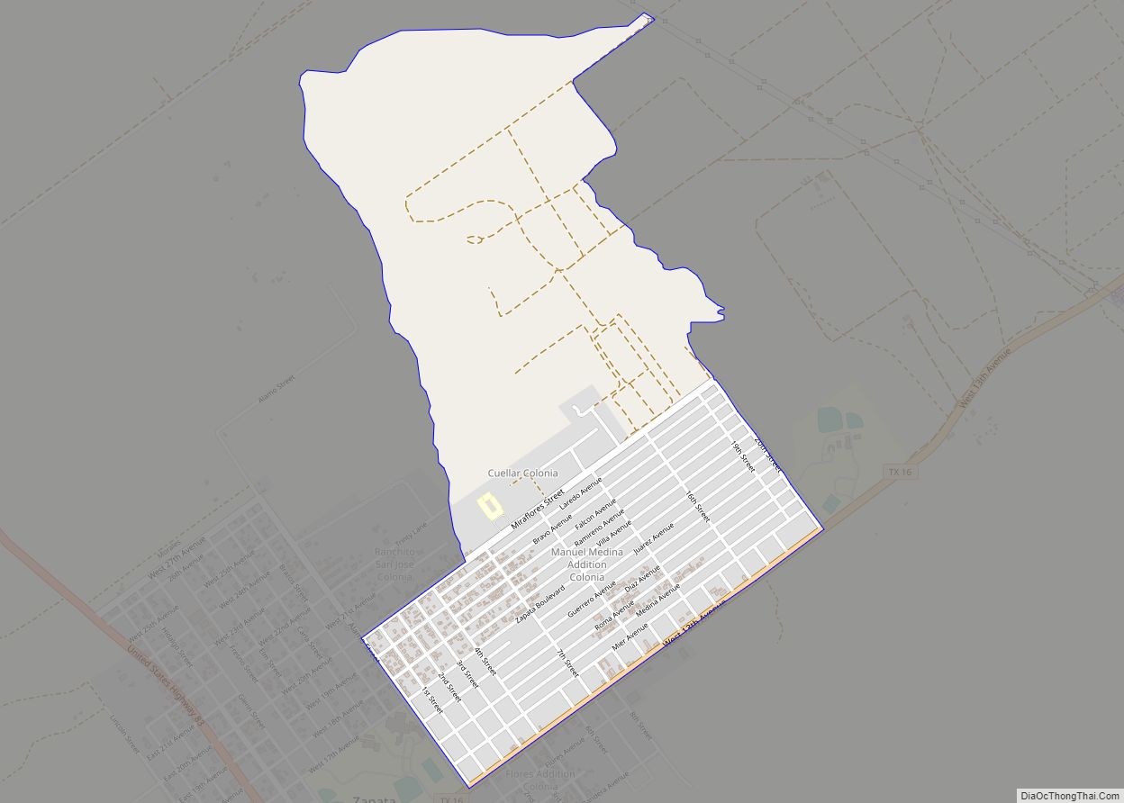
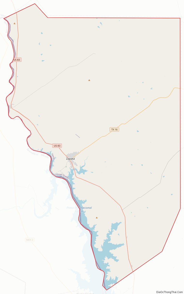
Zapata County Road Map
Geography
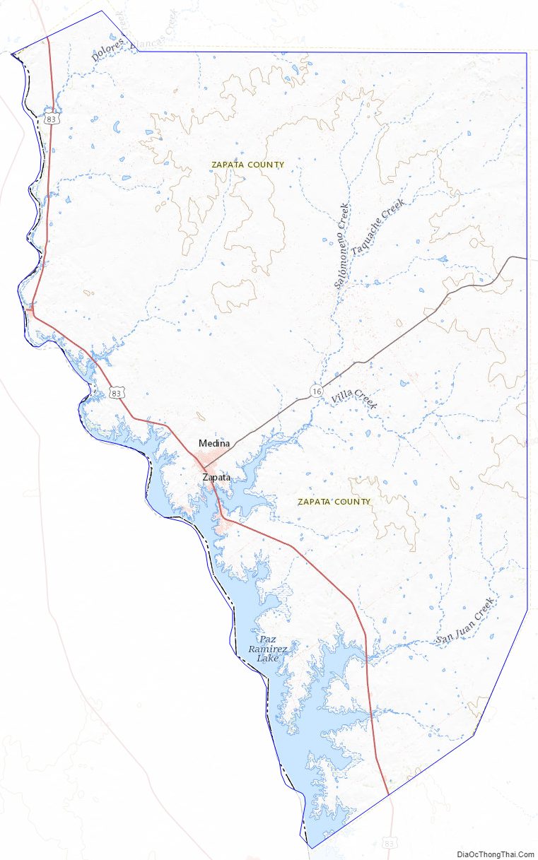
According to the U.S. Census Bureau, the county has a total area of 1,058 square miles (2,740 km), of which 998 square miles (2,580 km) is land and 60 square miles (160 km) (5.6%) is water. It is located in the Rio Grande Valley, on the shore of Falcon International Reservoir. It was previously linked to Mexico by an international bridge, but this was flooded when the Falcon Dam and reservoir was built. It is now linked to Mexico by the Falcon Dam Port of Entry.
Major highways
- U.S. Highway 83
- State Highway 16
Adjacent counties and municipalities
- Webb County (north)
- Jim Hogg County (east)
- Starr County (southeast)
- Guerrero, Tamaulipas, Mexico (west)
National protected area
- Lower Rio Grande Valley National Wildlife Refuge (part)
Zapata County Topographic Map
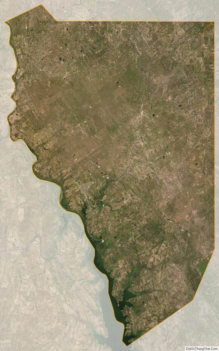
Zapata County Satellite Map
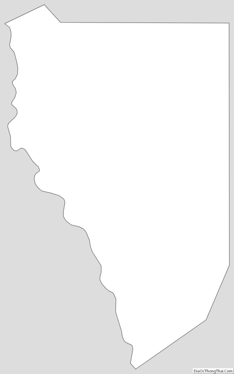
Zapata County Outline Map