Laredo (/ləˈreɪdoʊ/ lə-RAY-doh; Spanish: [laˈɾeðo]) is a city in and the county seat of Webb County, Texas, United States, on the north bank of the Rio Grande in South Texas, across from Nuevo Laredo, Tamaulipas, Mexico. Laredo has the distinction of flying seven flags (the flag of the former Republic of the Rio Grande, which is now the flag of the city, in addition to the Six Flags of Texas).
Founded in 1755, Laredo grew from a village to the capital of the short-lived Republic of the Rio Grande to the largest inland port on the Mexican border. Laredo’s economy is primarily based on international trade with the United States largest trading partner Mexico, and as a major hub for three areas of transportation – land, rail, and air cargo. The city is on the southern end of I-35, which connects manufacturers in northern Mexico through Interstate 35 as a major route for trade throughout the U.S. It has four international bridges and one railway bridge.
According to the 2020 census, the city’s population was 255,205, making it the 11th-most populous city in Texas and third-most populated U.S. city on the Mexican border, after San Diego, California and El Paso, Texas. Its metropolitan area is the 178th-largest in the U.S. and includes all of Webb County, with a population of 267,114. Laredo is also part of the cross-border Laredo-Nuevo Laredo metropolitan area with an estimated population of 636,516.
Laredo is notable for its high Hispanic proportion, which at over 95%, is the highest proportion of Hispanic Americans of any city in the United States outside of Puerto Rico. It is one of the least ethnically diverse cities in the United States. When economic, household, and social diversity are considered, Laredo is the 19th-least diverse of the 313 largest cities in the nation. Texas A&M International University and Laredo College are in Laredo. Laredo International Airport is within the Laredo city limits, while the Quetzalcoatl International Airport is nearby in Nuevo Laredo on the Mexican side.
The biggest festival, Washington’s Birthday Celebration, is held during the later part of January and the majority of February, attracting hundreds of thousands of tourists.
| Name: | Laredo city |
|---|---|
| LSAD Code: | 25 |
| LSAD Description: | city (suffix) |
| State: | Texas |
| County: | Webb County |
| Elevation: | 438 ft (137.2 m) |
| Land Area: | 106.49 sq mi (275.81 km²) |
| Water Area: | 1.47 sq mi (3.80 km²) |
| Population Density: | 2,396.5/sq mi (925.3/km²) |
| Area code: | 956 |
| FIPS code: | 4841464 |
| GNISfeature ID: | 1339633 |
| Website: | laredotexas.gov |
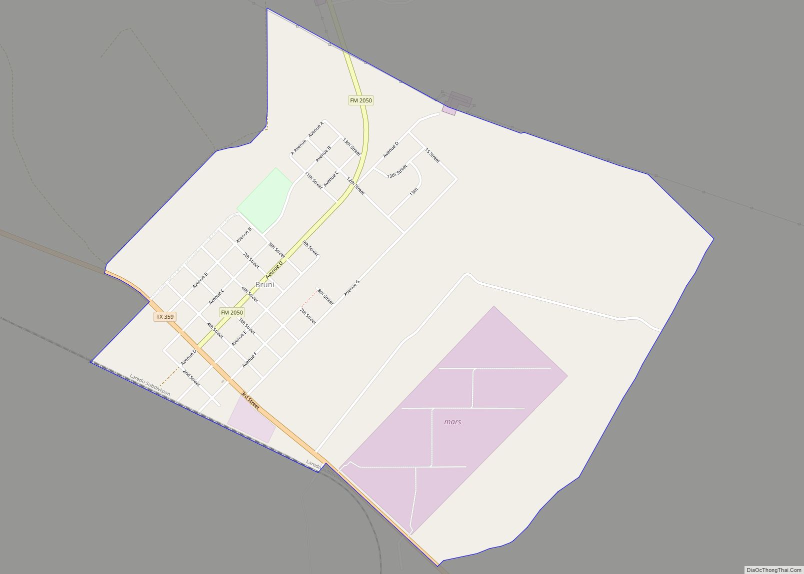
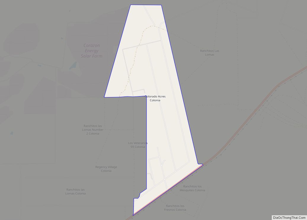
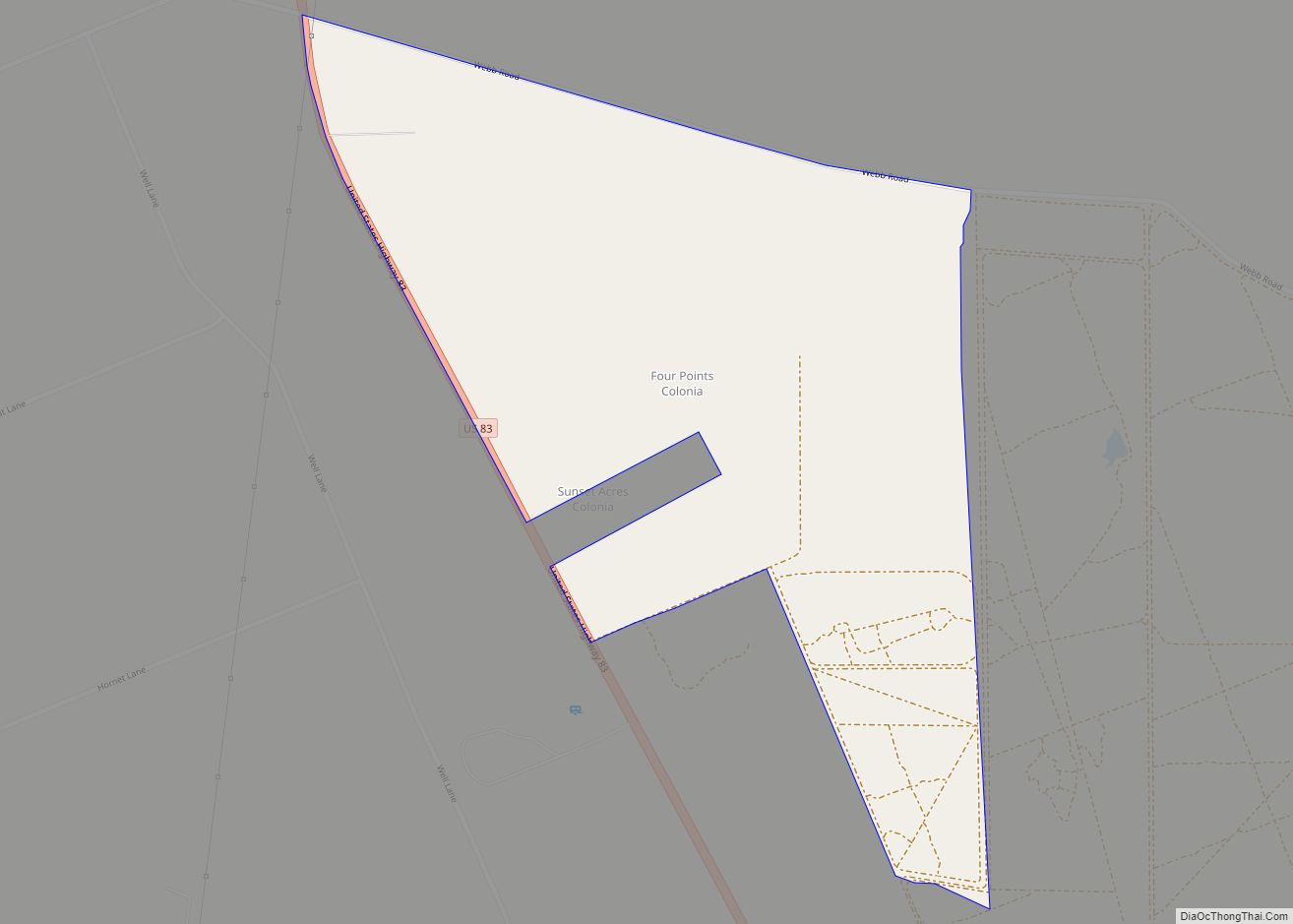
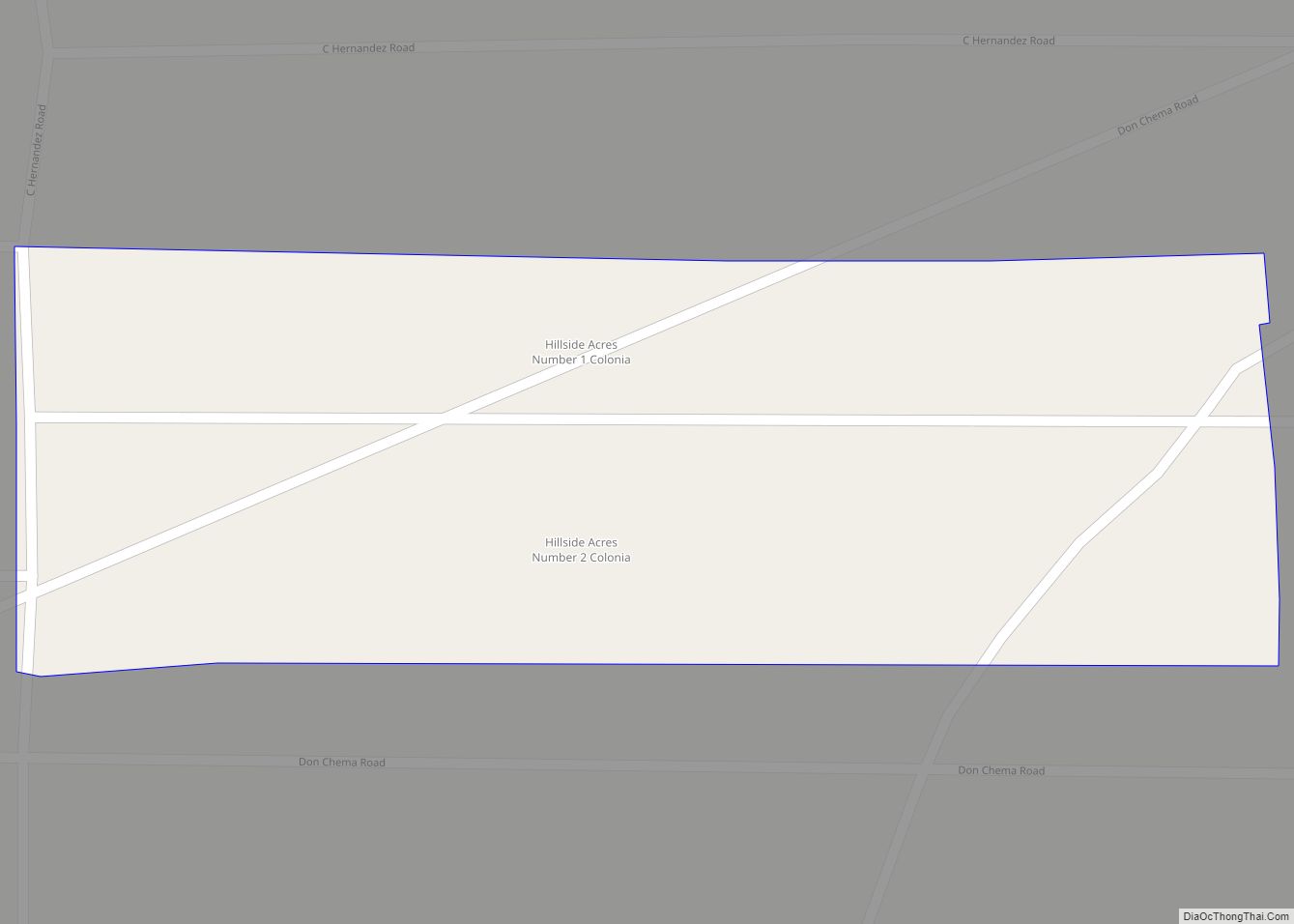
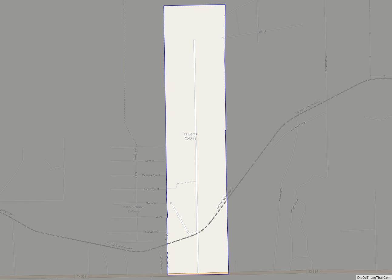
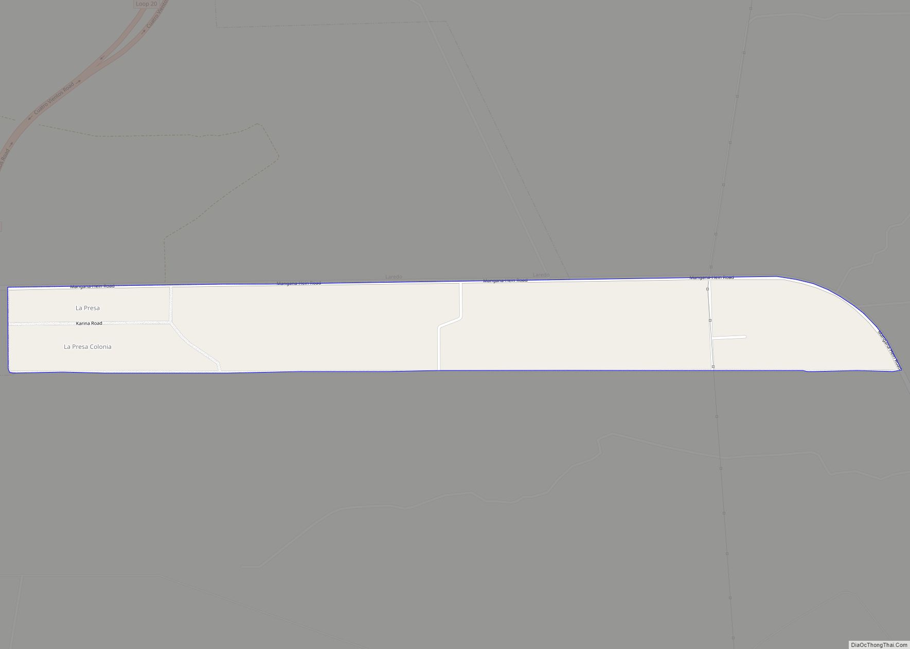
Online Interactive Map
Click on ![]() to view map in "full screen" mode.
to view map in "full screen" mode.
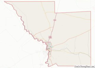
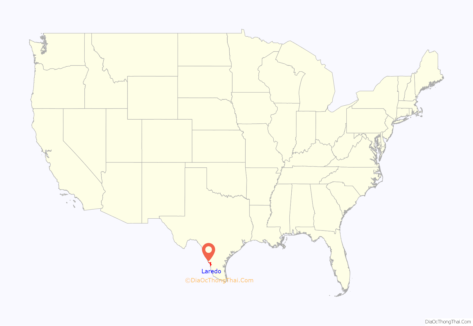
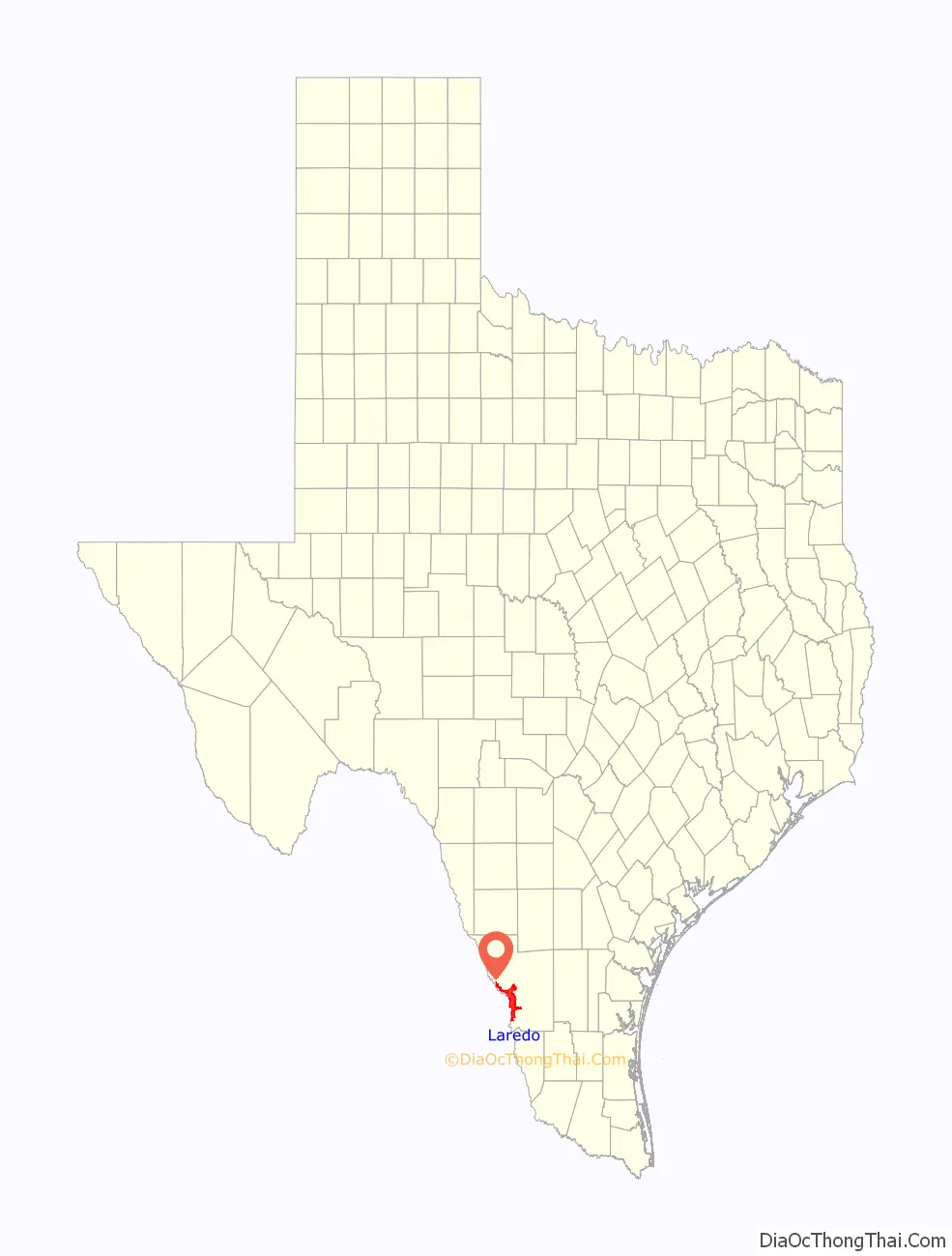
Laredo location map. Where is Laredo city?
History
The Spanish colonial settlement of Villa de San Agustin de Laredo was founded in 1755 by Don Tomás Sánchez Barrera, while the area was part of the Nuevo Santander region in the Spanish viceroyalty of New Spain. Villa de San Agustin de Laredo was named after Laredo, Cantabria, Spain and in honor of Saint Augustine of Hippo. In 1840, Laredo was the capital of the independent Republic of the Rio Grande, set up in opposition to Antonio López de Santa Anna; it was brought back into Mexico by military force.
In 1846 during the Mexican–American War, the town was occupied by the Texas Rangers. After the war, the Treaty of Guadalupe-Hidalgo ceded the land to the United States. A referendum was taken in the town, which voted to petition the American military government in charge of the area to return the town to Mexico. When this petition was rejected, many who had been in the area for generations, moved across the river into Mexican territory, where they founded Nuevo Laredo. Many others, especially original land grantees on the north side of the Rio Grande remained, becoming Texans in the process. In 1849, the United States Army set up Fort McIntosh (originally Camp Crawford). Laredo was rechartered as a city in 1852.
Laredo is one of the oldest crossing points along the Mexico–United States border, and the nation’s largest inland port of entry. In 2005, Laredo celebrated the 250th anniversary of its founding.
The etymology of the name for the Spanish town of Laredo is unclear. Some scholars say the name stems from glaretum, which means “sandy, rocky place”. Others state Laredo stems from a Basque word meaning “beautiful pastures”. Laredo might also stem from the Latin larida, which means gull.
Cellist Yo-Yo Ma brought his Bach Project to the Juarez–Lincoln International Bridge in April 2019.
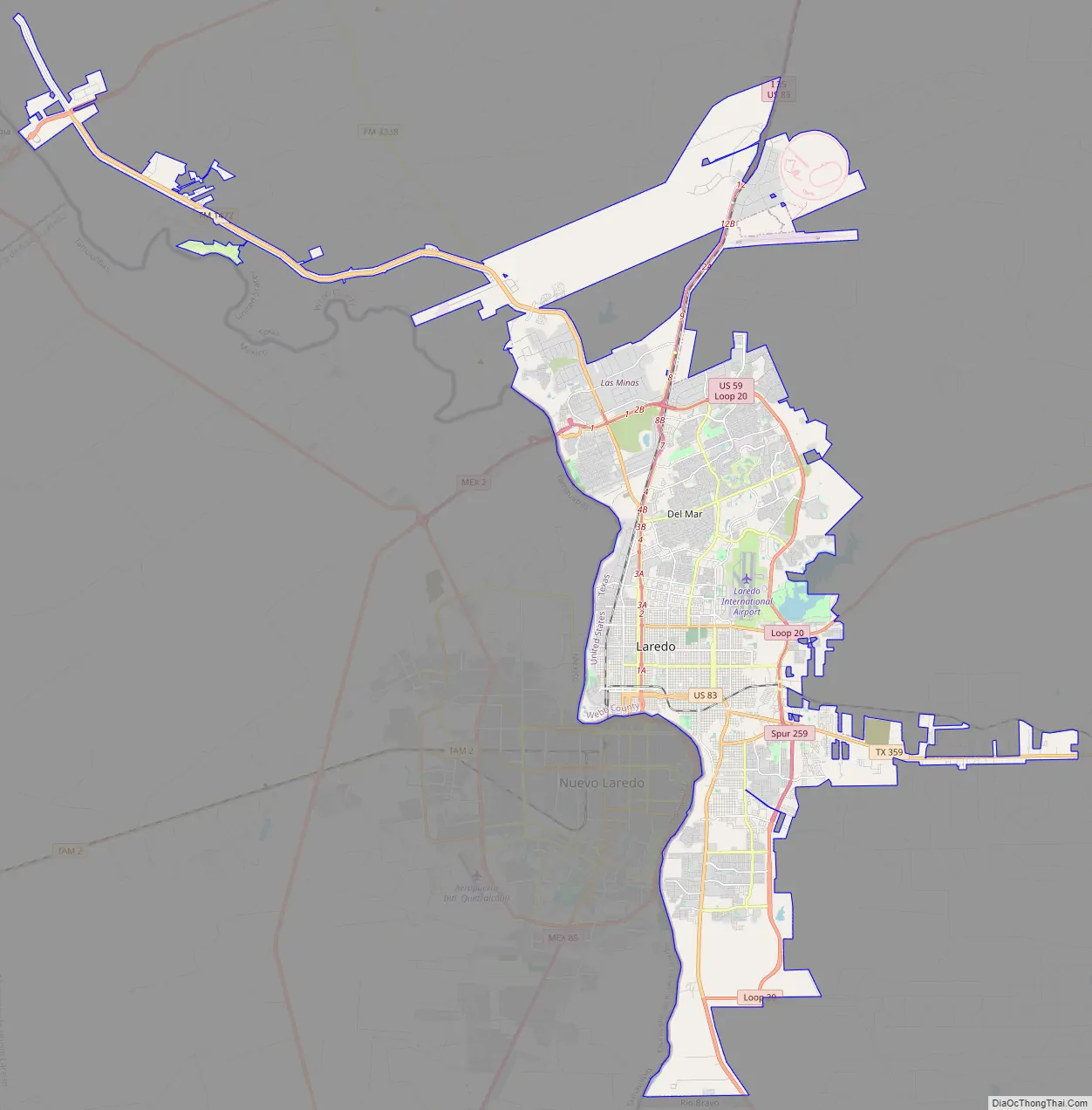
Laredo Road Map
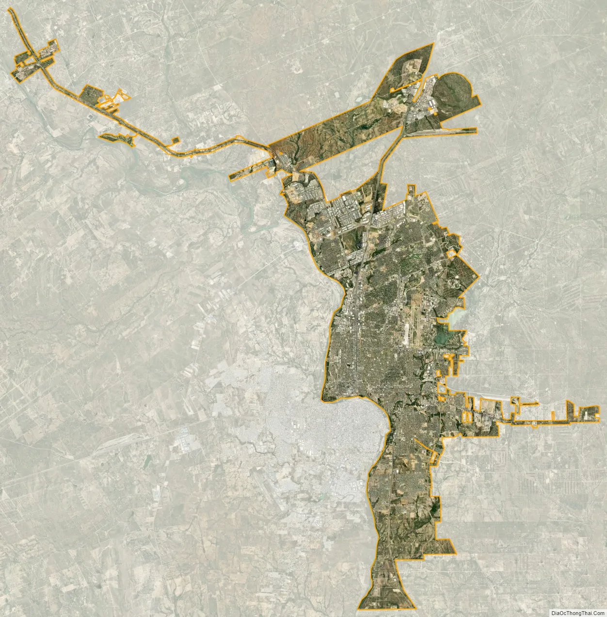
Laredo city Satellite Map
Geography
According to the United States Census Bureau, the city has a total area of 102.6 square miles (265.7 km), of which 1.5 square miles (3.9 km) (1.37%) are covered by water.
Location
Laredo is on the west end of the Rio Grande Plains, south of the Edwards Plateau, west of the Coastal Plains, and east of the Mexican Mountains. The area consists of a few hills and flat land covered with grasses, oaks, and mesquite.
Bodies of water
Notable geographic features are the Rio Grande and Chacon Creek’s man-made reservoir, Lake Casa Blanca, in Lake Casa Blanca International State Park. The lake is 371 acres (1.5 km) of land and 1,650 acres (7 km) of water. The six major creeks are Chacon Creek, San Ildefonso Creek, San Ygnacio Creek, Santa Isabel Creek, Sombrerillito Creek, and Zacate Creek, all of which drain into the Rio Grande. Several man-made reservoirs include the San Ildefonso Creek Lake (second-largest reservoir), and the Sombrerillito Creek Lake (third-largest reservoir).
Nearby cities
Climate
Laredo’s climate is semiarid with very hot temperatures in the summer and mild temperatures during the winter. The climate is considered to be hot semiarid (Köppen: BSh). Its weather is affected by the Sierra Madre Oriental mountains to the west, the Gulf of Mexico to the east, and the Chihuahuan Desert of Northern Mexico and West Texas. Moisture from the Pacific is cut off by the Mexican mountain range.
The normal monthly mean temperature ranges from 57.6 °F (14.2 °C) in January to 89.1 °F (31.7 °C) in August; official record temperatures range from 11 °F (−12 °C) on December 30, 1983, up to 115 °F (46 °C) on May 7, 1927, and June 17, 1908. On average, temperatures reach 100 °F (37.8 °C) or higher on 75 days annually, and fall to or below the freezing mark on 5.1 days, although, in five years, the most recent being 2015, the annual minimum temperature was above freezing.
Precipitation averages 19.7 in (500 mm) annually, with higher amounts typically occurring from May to October. Although snowfall is rare in Laredo, measurable snow occurred most recently on Christmas Eve 2004, with 1.1 in (2.8 cm), and December 7–8, 2017, with 1.3 in (3.3 cm).
See also
Map of Texas State and its subdivision:- Anderson
- Andrews
- Angelina
- Aransas
- Archer
- Armstrong
- Atascosa
- Austin
- Bailey
- Bandera
- Bastrop
- Baylor
- Bee
- Bell
- Bexar
- Blanco
- Borden
- Bosque
- Bowie
- Brazoria
- Brazos
- Brewster
- Briscoe
- Brooks
- Brown
- Burleson
- Burnet
- Caldwell
- Calhoun
- Callahan
- Cameron
- Camp
- Carson
- Cass
- Castro
- Chambers
- Cherokee
- Childress
- Clay
- Cochran
- Coke
- Coleman
- Collin
- Collingsworth
- Colorado
- Comal
- Comanche
- Concho
- Cooke
- Coryell
- Cottle
- Crane
- Crockett
- Crosby
- Culberson
- Dallam
- Dallas
- Dawson
- Deaf Smith
- Delta
- Denton
- Dewitt
- Dickens
- Dimmit
- Donley
- Duval
- Eastland
- Ector
- Edwards
- El Paso
- Ellis
- Erath
- Falls
- Fannin
- Fayette
- Fisher
- Floyd
- Foard
- Fort Bend
- Franklin
- Freestone
- Frio
- Gaines
- Galveston
- Garza
- Gillespie
- Glasscock
- Goliad
- Gonzales
- Gray
- Grayson
- Gregg
- Grimes
- Guadalupe
- Hale
- Hall
- Hamilton
- Hansford
- Hardeman
- Hardin
- Harris
- Harrison
- Hartley
- Haskell
- Hays
- Hemphill
- Henderson
- Hidalgo
- Hill
- Hockley
- Hood
- Hopkins
- Houston
- Howard
- Hudspeth
- Hunt
- Hutchinson
- Irion
- Jack
- Jackson
- Jasper
- Jeff Davis
- Jefferson
- Jim Hogg
- Jim Wells
- Johnson
- Jones
- Karnes
- Kaufman
- Kendall
- Kenedy
- Kent
- Kerr
- Kimble
- King
- Kinney
- Kleberg
- Knox
- La Salle
- Lamar
- Lamb
- Lampasas
- Lavaca
- Lee
- Leon
- Liberty
- Limestone
- Lipscomb
- Live Oak
- Llano
- Loving
- Lubbock
- Lynn
- Madison
- Marion
- Martin
- Mason
- Matagorda
- Maverick
- McCulloch
- McLennan
- McMullen
- Medina
- Menard
- Midland
- Milam
- Mills
- Mitchell
- Montague
- Montgomery
- Moore
- Morris
- Motley
- Nacogdoches
- Navarro
- Newton
- Nolan
- Nueces
- Ochiltree
- Oldham
- Orange
- Palo Pinto
- Panola
- Parker
- Parmer
- Pecos
- Polk
- Potter
- Presidio
- Rains
- Randall
- Reagan
- Real
- Red River
- Reeves
- Refugio
- Roberts
- Robertson
- Rockwall
- Runnels
- Rusk
- Sabine
- San Augustine
- San Jacinto
- San Patricio
- San Saba
- Schleicher
- Scurry
- Shackelford
- Shelby
- Sherman
- Smith
- Somervell
- Starr
- Stephens
- Sterling
- Stonewall
- Sutton
- Swisher
- Tarrant
- Taylor
- Terrell
- Terry
- Throckmorton
- Titus
- Tom Green
- Travis
- Trinity
- Tyler
- Upshur
- Upton
- Uvalde
- Val Verde
- Van Zandt
- Victoria
- Walker
- Waller
- Ward
- Washington
- Webb
- Wharton
- Wheeler
- Wichita
- Wilbarger
- Willacy
- Williamson
- Wilson
- Winkler
- Wise
- Wood
- Yoakum
- Young
- Zapata
- Zavala
- Alabama
- Alaska
- Arizona
- Arkansas
- California
- Colorado
- Connecticut
- Delaware
- District of Columbia
- Florida
- Georgia
- Hawaii
- Idaho
- Illinois
- Indiana
- Iowa
- Kansas
- Kentucky
- Louisiana
- Maine
- Maryland
- Massachusetts
- Michigan
- Minnesota
- Mississippi
- Missouri
- Montana
- Nebraska
- Nevada
- New Hampshire
- New Jersey
- New Mexico
- New York
- North Carolina
- North Dakota
- Ohio
- Oklahoma
- Oregon
- Pennsylvania
- Rhode Island
- South Carolina
- South Dakota
- Tennessee
- Texas
- Utah
- Vermont
- Virginia
- Washington
- West Virginia
- Wisconsin
- Wyoming