Salem (/ˈseɪləm/ SAY-ləm) is the capital of the U.S. state of Oregon, and the county seat of Marion County. It is located in the center of the Willamette Valley alongside the Willamette River, which runs north through the city. The river forms the boundary between Marion and Polk counties, and the city neighborhood of West ... Read more
Popular US cities & places
Ontario is a city in southwestern San Bernardino County in the U.S. state of California, 35 miles (56 km) east of downtown Los Angeles and 23 miles (37 km) west of downtown San Bernardino, the county seat. Located in the western part of the Inland Empire metropolitan area, it lies just east of Los Angeles County and ... Read more
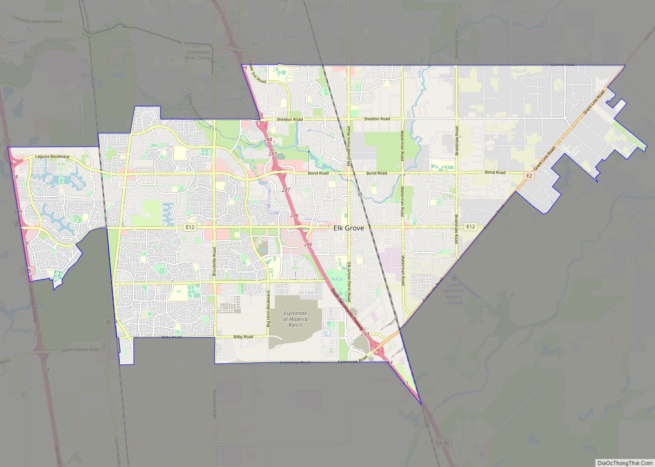
Elk Grove is a city in Sacramento County, California, United States. Located just south of the state capital of Sacramento, it is part of the Sacramento–Arden-Arcade–Roseville Metropolitan Statistical Area. As of the 2020 Census, the population of the city was 176,124. A 2021 Census estimate puts the population of the city at 178,997. Elk Grove ... Read more
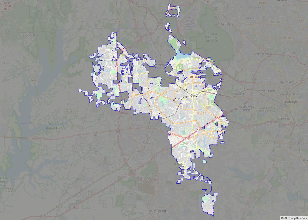
Cary is a town in Wake and Chatham counties in the U.S. state of North Carolina and is part of the Raleigh–Cary, NC Metropolitan Statistical Area. According to the 2020 Census, its population was 174,721, making it the seventh largest municipality in North Carolina, and the 148th largest in the United States. In 2021, the ... Read more
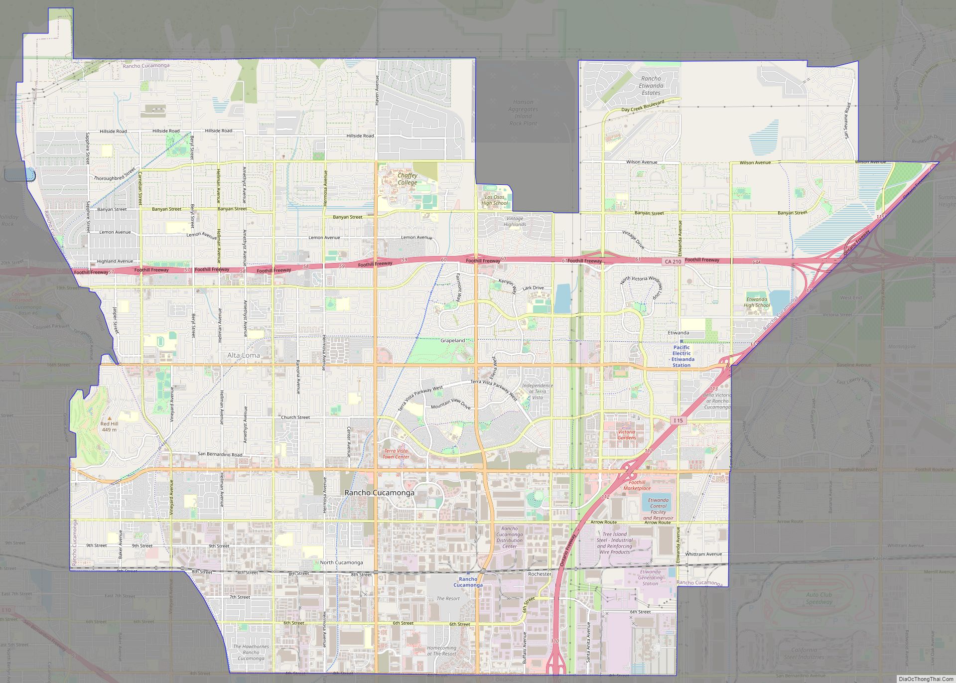
Rancho Cucamonga (/ˌræntʃoʊ kuːkəˈmʌŋɡə/ RAN-choh KOO-kə-MUNG-gə) is a city located just south of the foothills of the San Gabriel Mountains and Angeles National Forest in San Bernardino County, California, United States. About 37 mi (60 km) east of Downtown Los Angeles, Rancho Cucamonga is the 28th most populous city in California. The city’s seal, which centers on ... Read more
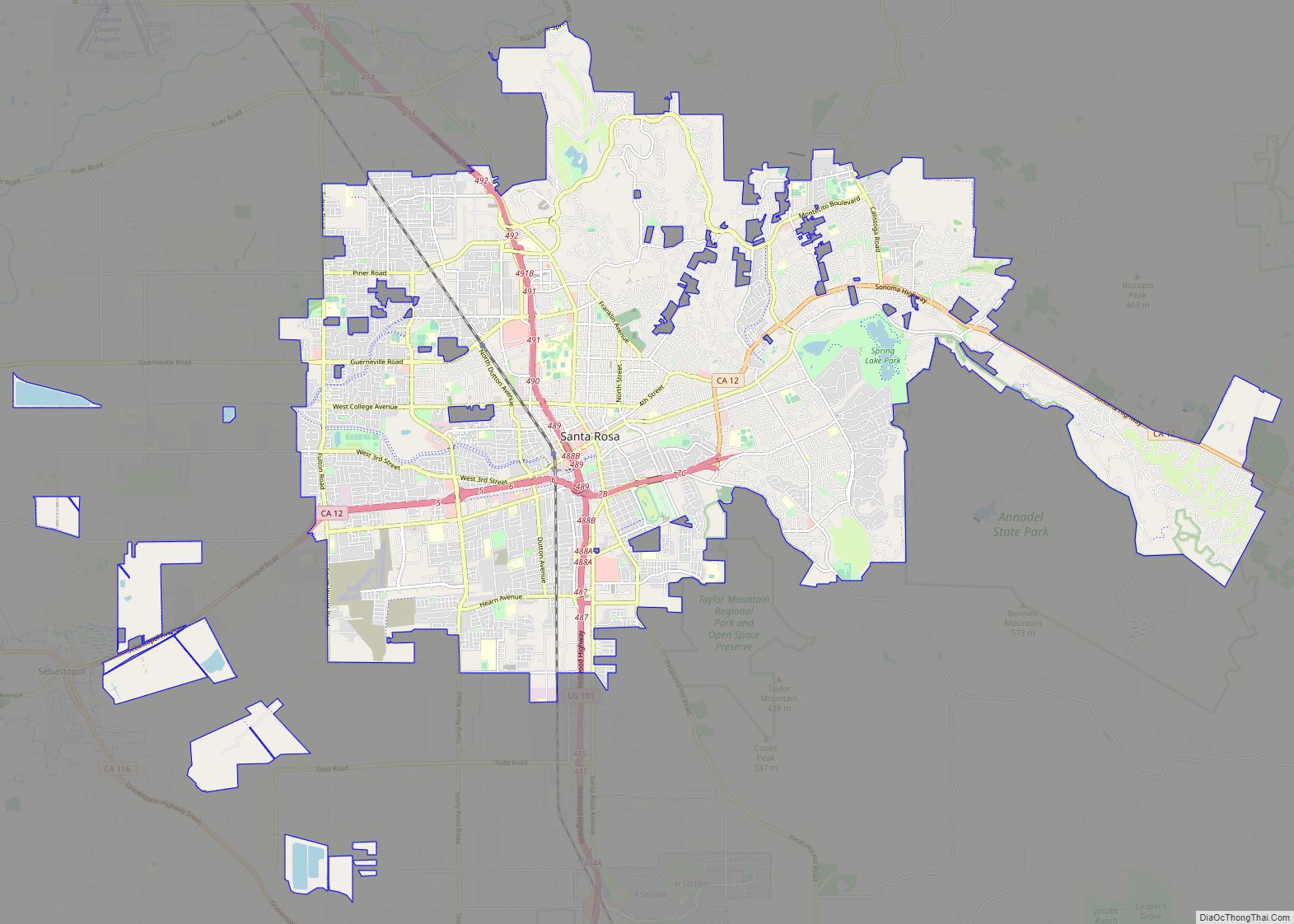
Santa Rosa (Spanish for “Saint Rose”) is a city and the county seat of Sonoma County, in the North Bay region of the Bay Area in California. Its population as of the 2020 census was 178,127. It is the largest city in California’s Wine Country and Redwood Coast. It is the fifth most populous city ... Read more
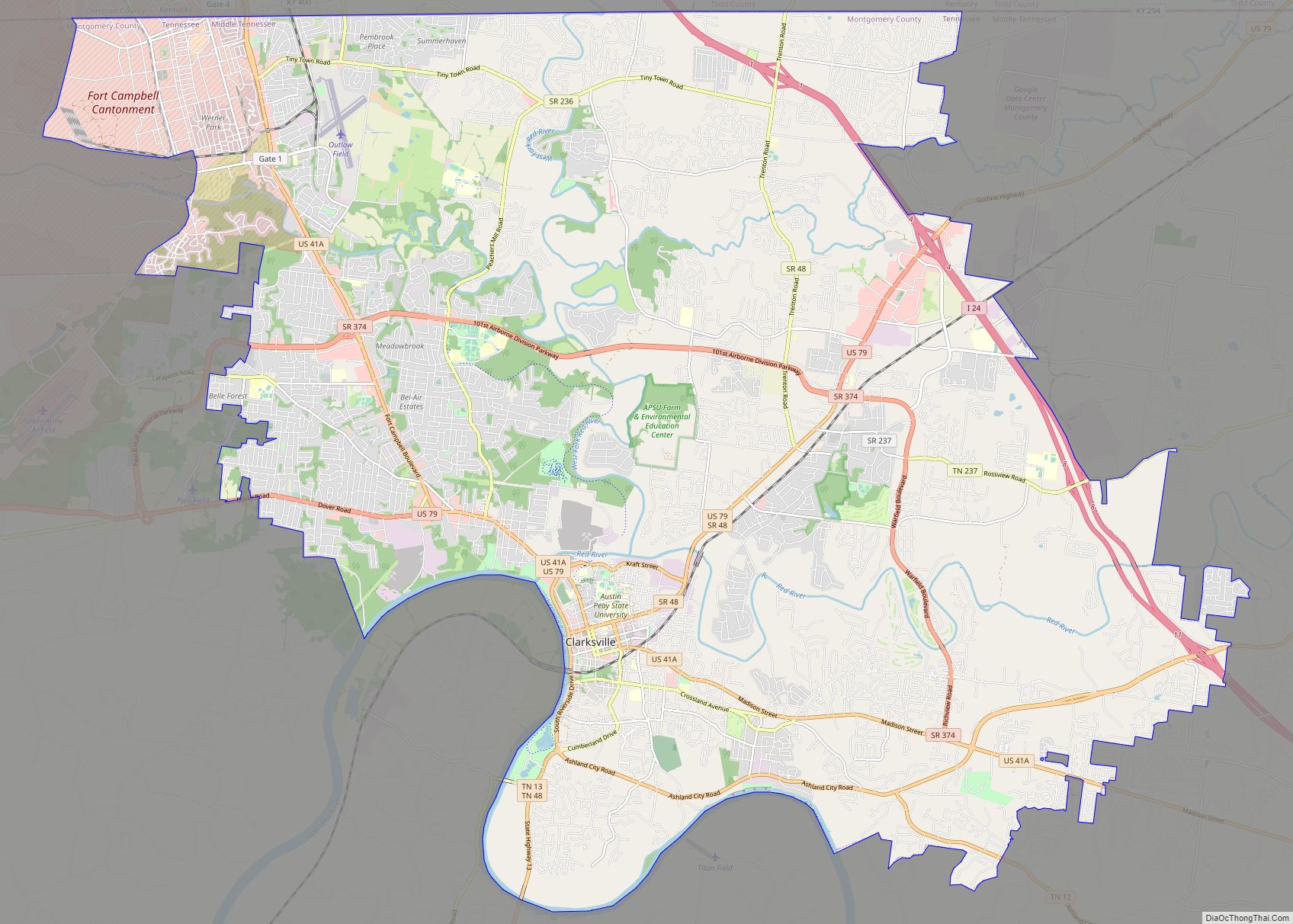
Clarksville is the county seat of Montgomery County, Tennessee, United States. It is the fifth-largest city in the state behind Nashville, Memphis, Knoxville, and Chattanooga. The city had a population of 166,722 as of the 2020 United States census. It is the principal central city of the Clarksville metropolitan area, which consists of Montgomery and ... Read more
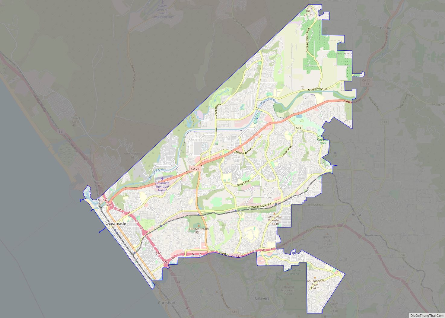
Oceanside is a city on the South Coast of California, located in San Diego County. The city had a population of 174,068 at the 2020 United States census, up from 167,086 at the 2010 census. The city is a popular tourist destination, owing to its historic landmarks, beaches, and architecture. Oceanside’s origins date to 1798, ... Read more
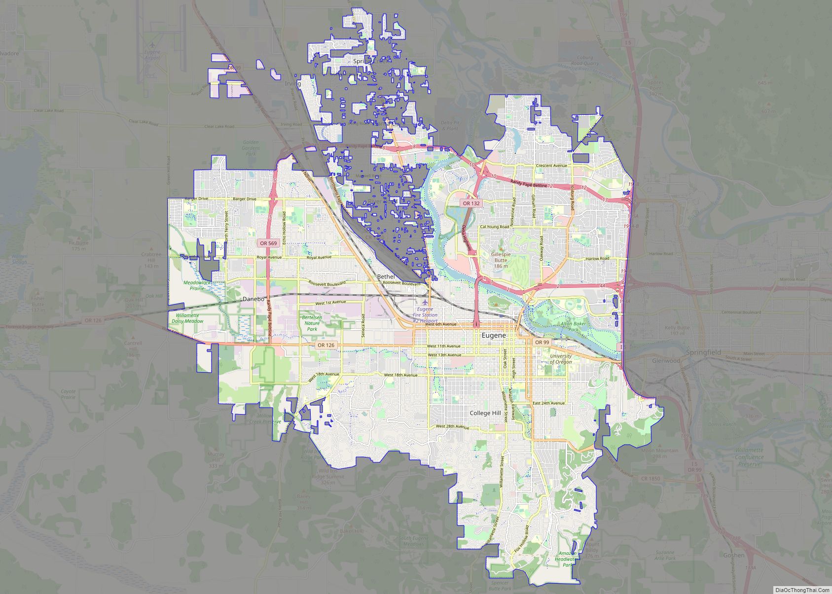
Eugene (/juːˈdʒiːn/ yoo-JEEN) is the second largest city in the U.S. state of Oregon and the seat of Lane County. It is located at the southern end of the Willamette Valley, near the confluence of the McKenzie and Willamette rivers, about 50 miles (80 km) east of the Oregon Coast. As of the 2020 United States ... Read more
Springfield is the third largest city in the U.S. state of Missouri and the county seat of Greene County. The city’s population was 169,176 at the 2020 census. It is the principal city of the Springfield metropolitan area, which had an estimated population of 481,483 in 2021 and includes the counties of Christian, Dallas, Greene, ... Read more
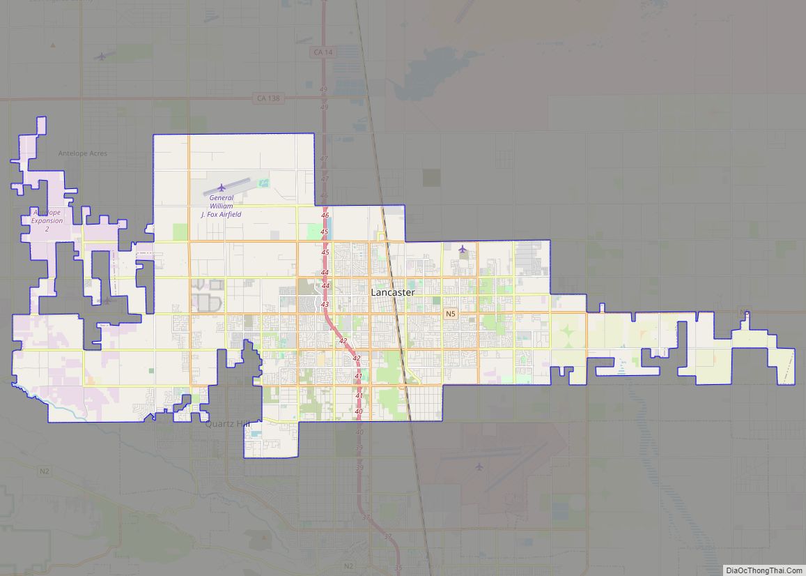
Lancaster /ˈlæŋ.kæstər/ is a charter city in northern Los Angeles County, in the Antelope Valley of the western Mojave Desert in Southern California. As of the 2020 census, the population was 173,516, making Lancaster the 153rd largest city in the United States and the 30th largest in California. Lancaster is a twin city with its ... Read more
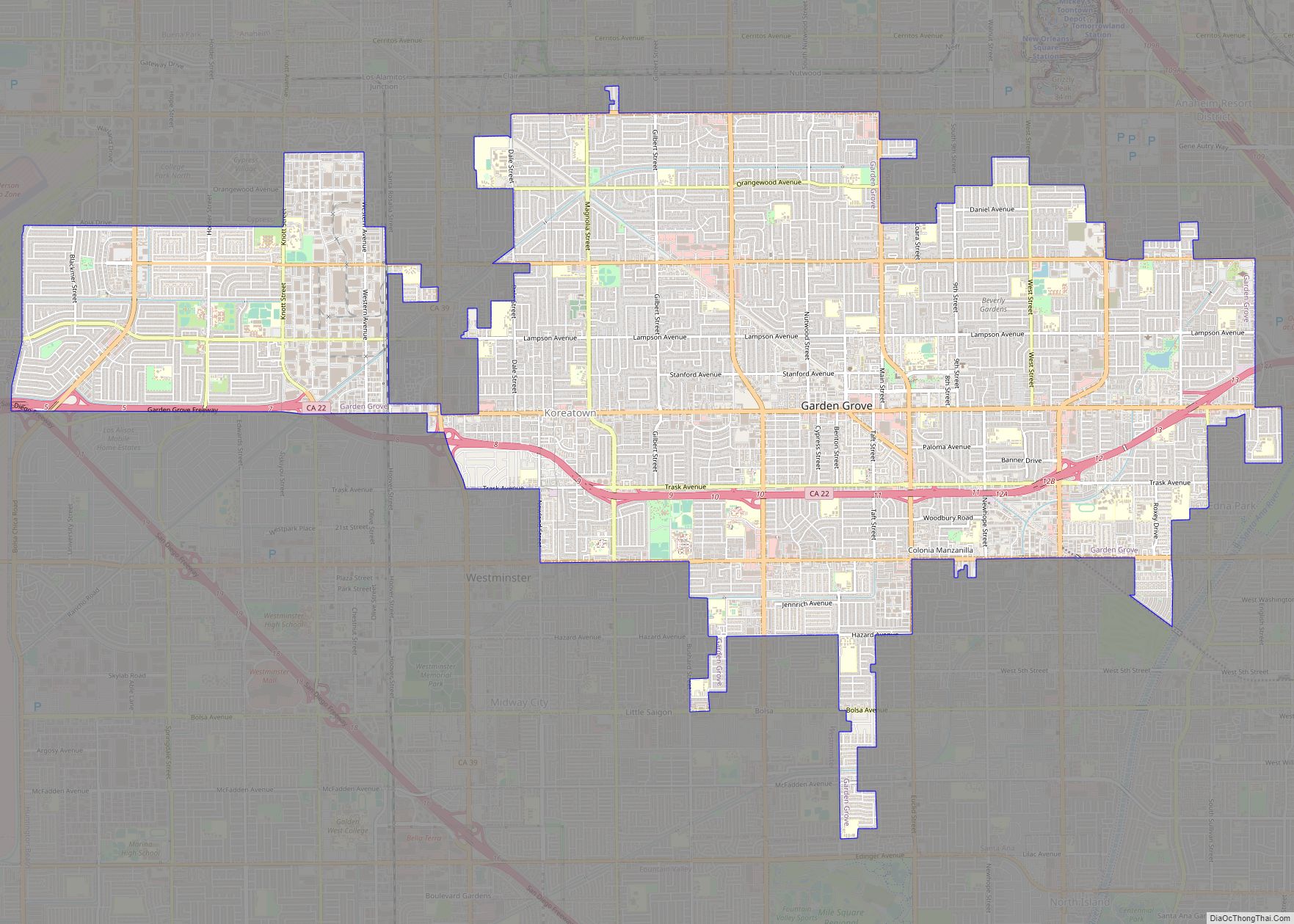
Garden Grove is a city in northern Orange County, California, United States. The population was 171,949 at the 2020 census. State Route 22, also known as the Garden Grove Freeway, passes through the city in an east–west direction. The western portion of the city is known as West Garden Grove. Garden Grove city overview: Name: ... Read more


