Garden Grove is a city in northern Orange County, California, United States. The population was 171,949 at the 2020 census. State Route 22, also known as the Garden Grove Freeway, passes through the city in an east–west direction. The western portion of the city is known as West Garden Grove.
| Name: | Garden Grove city |
|---|---|
| LSAD Code: | 25 |
| LSAD Description: | city (suffix) |
| State: | California |
| County: | Orange County |
| Founded: | 1874 |
| Incorporated: | June 18, 1956 |
| Elevation: | 89 ft (27 m) |
| Total Area: | 17.98 sq mi (46.56 km²) |
| Land Area: | 17.96 sq mi (46.51 km²) |
| Water Area: | 0.02 sq mi (0.05 km²) 0.10% |
| Total Population: | 171,949 |
| Population Density: | 9,558.08/sq mi (3,690.40/km²) |
| FIPS code: | 0629000 |
| Website: | ggcity.org |
Online Interactive Map
Click on ![]() to view map in "full screen" mode.
to view map in "full screen" mode.
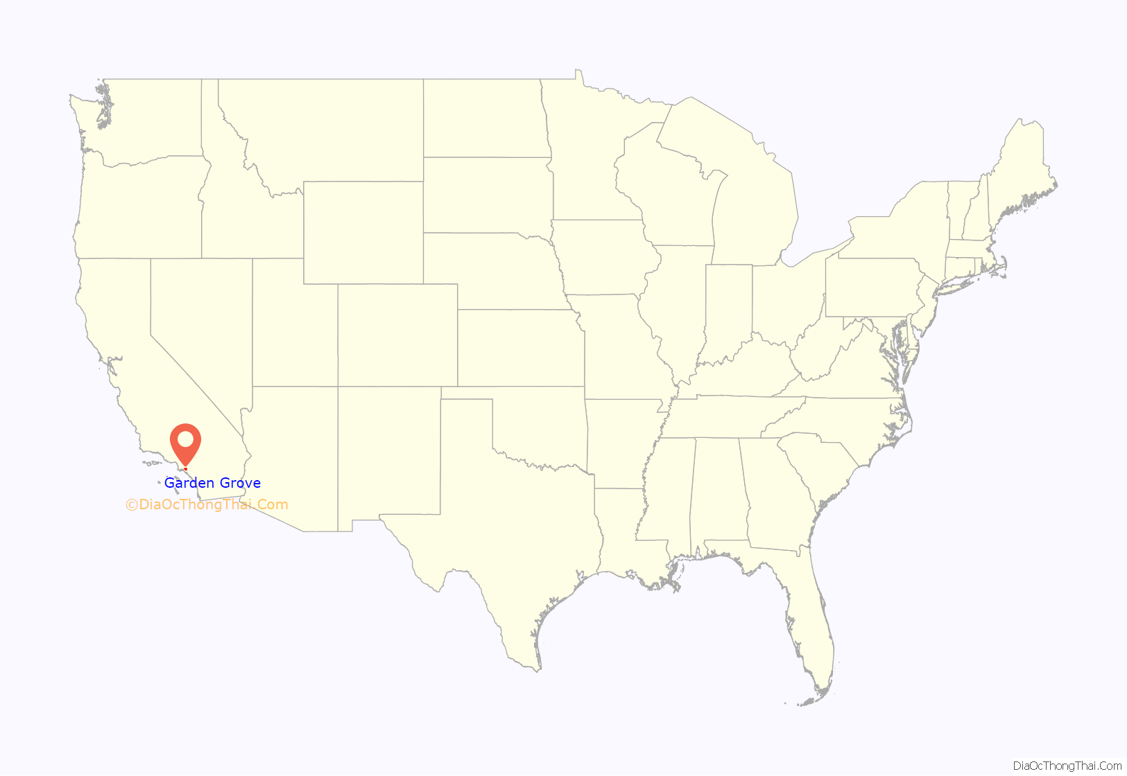
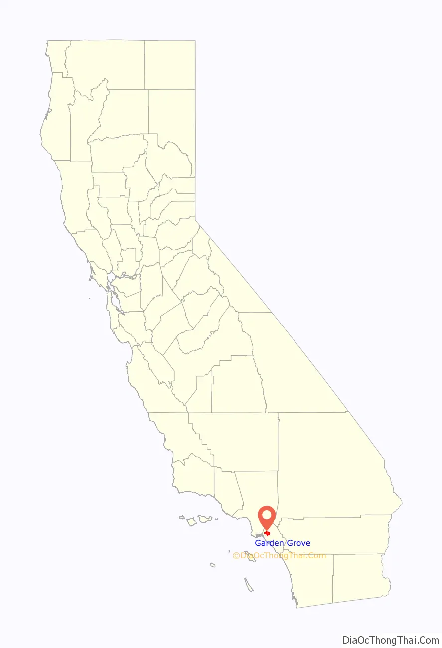
Garden Grove location map. Where is Garden Grove city?
History
19th century
Garden Grove was founded by Alonzo Cook in 1874. A school district and Methodist church were organized that year. It remained a small rural crossroads and farming community until the arrival of the Pacific Electric Railroad in 1905. The rail connection helped the town prosper with the influx of tourists, visitors and eventually settlers, and it was noted for its crops of oranges, walnuts, chili peppers and later strawberries.
20th century
In 1933, much of the town’s central business district was destroyed by the Long Beach earthquake, and one person was killed at the high school. The post-World War II boom led to rapid development, and Garden Grove was incorporated as a city in 1956 with about 44,000 residents.
In 1956, Orange County Plaza (now The Promenade) was opened at Chapman and Brookhurst, and upon its expansion in 1959, it had 60 stores, including a J. C. Penney, 2 variety stores and 2 supermarkets, and billed itself as both the largest and the first regional shopping center in Orange County.
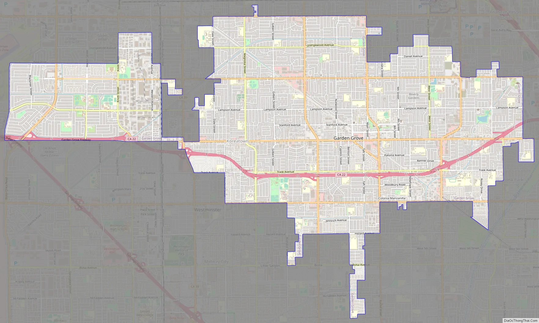
Garden Grove Road Map
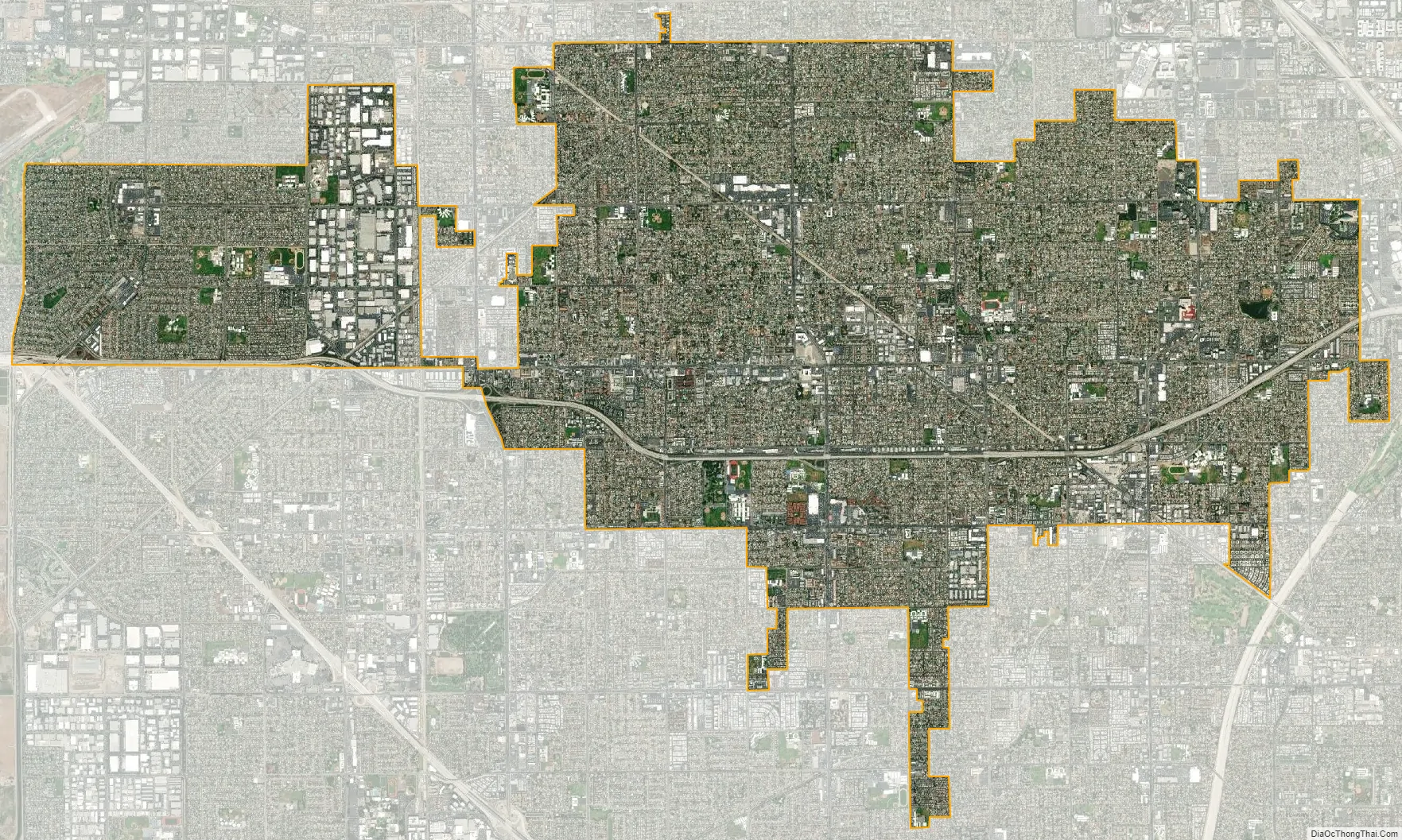
Garden Grove city Satellite Map
Geography
Garden Grove has a rugged set of boundaries with many panhandles. The West Garden Grove neighborhood is west of Beach Boulevard and is largely separated from the rest of Garden Grove by the city of Stanton, with a small bridge of jurisdiction linking the two along Garden Grove Boulevard. A panhandle in the southern part of the town’s borders situated between Westminster‘s Ward Street to the west and Santa Ana‘s Euclid Street to the east creates a small border with the city of Fountain Valley. Other neighboring cities include Cypress and Anaheim to the north, Orange to the east, and the cities of Seal Beach and Los Alamitos to the west.
According to the United States Census Bureau, the city has a total area of 46.5 km (18.0 sq mi), 0.10% of which is water.
See also
Map of California State and its subdivision:- Alameda
- Alpine
- Amador
- Butte
- Calaveras
- Colusa
- Contra Costa
- Del Norte
- El Dorado
- Fresno
- Glenn
- Humboldt
- Imperial
- Inyo
- Kern
- Kings
- Lake
- Lassen
- Los Angeles
- Madera
- Marin
- Mariposa
- Mendocino
- Merced
- Modoc
- Mono
- Monterey
- Napa
- Nevada
- Orange
- Placer
- Plumas
- Riverside
- Sacramento
- San Benito
- San Bernardino
- San Diego
- San Francisco
- San Joaquin
- San Luis Obispo
- San Mateo
- Santa Barbara
- Santa Clara
- Santa Cruz
- Shasta
- Sierra
- Siskiyou
- Solano
- Sonoma
- Stanislaus
- Sutter
- Tehama
- Trinity
- Tulare
- Tuolumne
- Ventura
- Yolo
- Yuba
- Alabama
- Alaska
- Arizona
- Arkansas
- California
- Colorado
- Connecticut
- Delaware
- District of Columbia
- Florida
- Georgia
- Hawaii
- Idaho
- Illinois
- Indiana
- Iowa
- Kansas
- Kentucky
- Louisiana
- Maine
- Maryland
- Massachusetts
- Michigan
- Minnesota
- Mississippi
- Missouri
- Montana
- Nebraska
- Nevada
- New Hampshire
- New Jersey
- New Mexico
- New York
- North Carolina
- North Dakota
- Ohio
- Oklahoma
- Oregon
- Pennsylvania
- Rhode Island
- South Carolina
- South Dakota
- Tennessee
- Texas
- Utah
- Vermont
- Virginia
- Washington
- West Virginia
- Wisconsin
- Wyoming


