Salem (/ˈseɪləm/ SAY-ləm) is the capital of the U.S. state of Oregon, and the county seat of Marion County. It is located in the center of the Willamette Valley alongside the Willamette River, which runs north through the city. The river forms the boundary between Marion and Polk counties, and the city neighborhood of West Salem is in Polk County. Salem was founded in 1842, became the capital of the Oregon Territory in 1851, and was incorporated in 1857.
Salem had a population of 175,535 at the 2020 census, making it the third-largest city in the state after Portland and Eugene. Salem is the principal city of the Salem Metropolitan Statistical Area, a metropolitan area that covers Marion and Polk counties and had a combined population of 433,353 at the 2020 census. This area is, in turn, part of the Portland-Vancouver-Salem Combined Statistical Area.
The city is home to Willamette University, Corban University, and Chemeketa Community College. The State of Oregon is the largest public employer in the city, and Salem Health is the largest private employer. Transportation includes public transit from Cherriots (legally known as Salem Area Mass Transit District), Amtrak service, and non-commercial air travel at McNary Field. Major roads include Interstate 5, Oregon Route 99E, and Oregon Route 22, which connects West Salem across the Willamette River via the Marion Street and Center Street bridges.
| Name: | Salem city |
|---|---|
| LSAD Code: | 25 |
| LSAD Description: | city (suffix) |
| State: | Oregon |
| County: | Marion County, Polk County |
| Founded: | 1842; 181 years ago (1842) |
| Elevation: | 157 ft (48 m) |
| Land Area: | 48.91 sq mi (126.67 km²) |
| Water Area: | 0.55 sq mi (1.41 km²) |
| Population Density: | 3,589.09/sq mi (1,385.74/km²) |
| FIPS code: | 4164900 |
| GNISfeature ID: | 1167861 |
| Website: | cityofsalem.net |
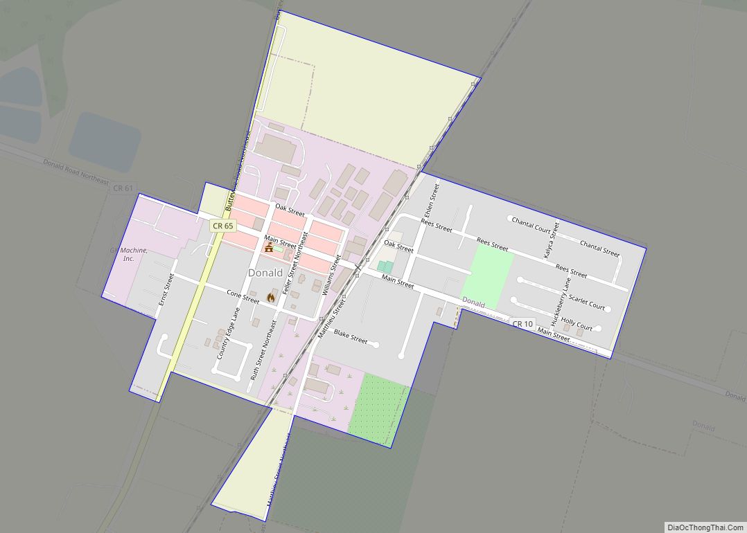
Online Interactive Map
Click on ![]() to view map in "full screen" mode.
to view map in "full screen" mode.
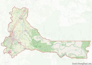
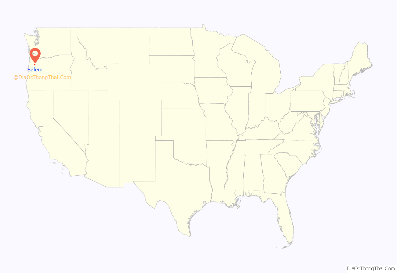
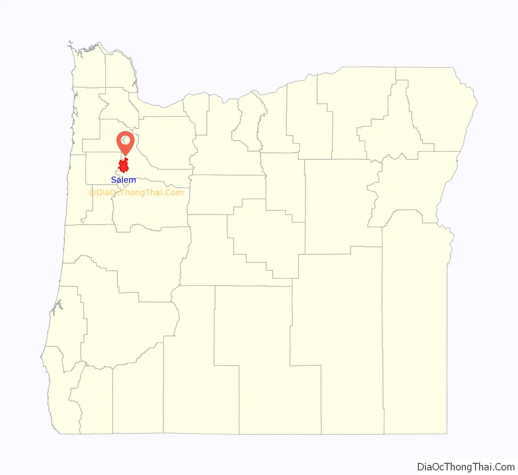
Salem location map. Where is Salem city?
History
Origin of name
The Native Americans who inhabited the central Willamette Valley at first European contact, the Kalapuya, called the area Chim-i-ki-ti, which means “meeting or resting place” in the Central Kalapuya language (Santiam). When the Methodist Mission moved to the area, they called the new establishment Chemeketa; although it was more widely known as the Mill, because of its situation on Mill Creek. When the Oregon Institute was established, the community became known as the institute.
When the institute was dissolved, the trustees decided to lay out a town site on the Institute lands. Some possible sources for the name “Salem” include William H. Willson, who in 1850 and 1851 filed the plans for the main part of the city, and suggested adopting an Anglicized version of the Biblical Hebrew word “שָׁלוֹם, Shalom”, meaning “peace” (as well as “hello” and “goodbye”). The Reverend David Leslie, President of the town’s Trustees, also wanted a Biblical name, and suggested using the last five letters of “Jerusalem”. Or, the town may be named after Salem, Massachusetts, where Leslie was educated. There were many names suggested, and even after the change to Salem, some people, such as Asahel Bush (editor of the Oregon Statesman), believed the name should be changed back to Chemeketa. The Vern Miller Civic Center, which houses the city offices and library, has a public space dedicated as the Peace Plaza in recognition of the names by which the city has been known.
Europeans
The first people of European descent arrived in the area as early as 1812; they were animal trappers and food gatherers for the fur trading companies in Astoria, Oregon.
The first permanent American settlement in the area was the Jason Lee Methodist mission (1840) located in the area north of Salem known as Wheatland. In 1842, the missionaries established the Oregon Institute (the forerunner of Willamette University) in the area that was to become the site of Salem. In 1844, the mission was dissolved and the town site established.
In 1851, Salem became the territorial capital after it was moved from Oregon City. The capital was moved briefly to Corvallis in 1855, but was moved back to Salem permanently that same year. Salem incorporated as a city in 1857, and with the coming of statehood in 1859, it became the state capital.
Capitol buildings
Oregon has had three capitol buildings in Salem. A two-story state house, which had been occupied for only two months, burned to the ground in December 1855. Oregon’s second capitol building was completed in 1876 on the site of the original. The Revival-style building was based in part on the U.S. Capitol building. The building received its distinctive copper dome in 1893. On April 25, 1935, this building was also destroyed by fire. The third and current Oregon State Capitol was completed on the same site in 1938. It is recognizable by its distinctive pioneer statue atop the capitol dome that is plated with gold-leaf and officially named the Oregon Pioneer.
State fair and cherry festival
Agriculture has always been important to Salem, and the city has historically recognized and celebrated it in a number of ways. In 1861, Salem was chosen as the permanent site of the Oregon State Fair by the Oregon State Agricultural Association. Salem is nicknamed the “Cherry City”, because of the past importance of the local cherry-growing industry. The first cherry festival in Salem was held in 1903 and was an annual event, with parades and the election of a cherry queen, until sometime after World War I. The event was briefly revived as the Salem Cherryland Festival for several years in the late 1940s.
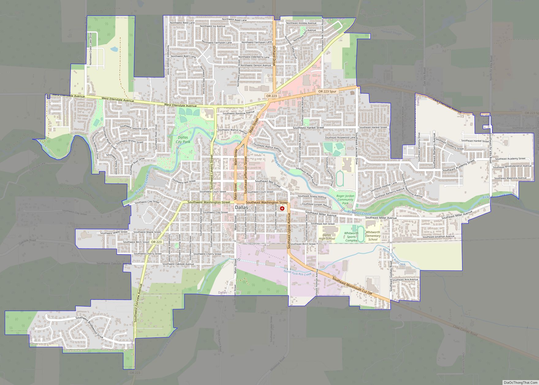
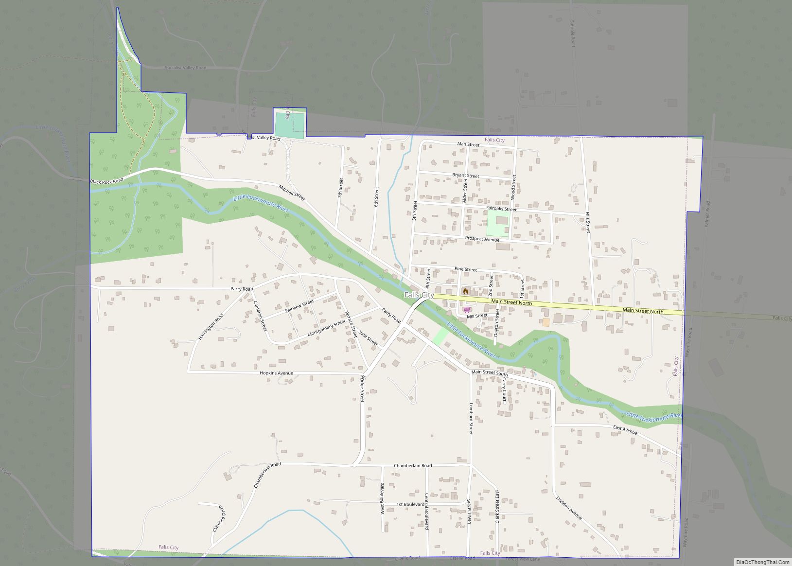
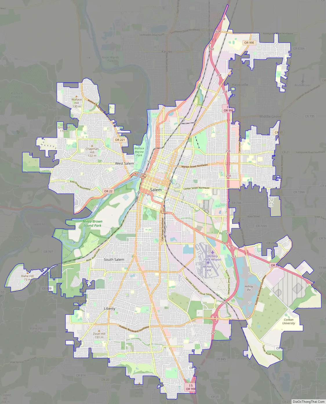
Salem Road Map
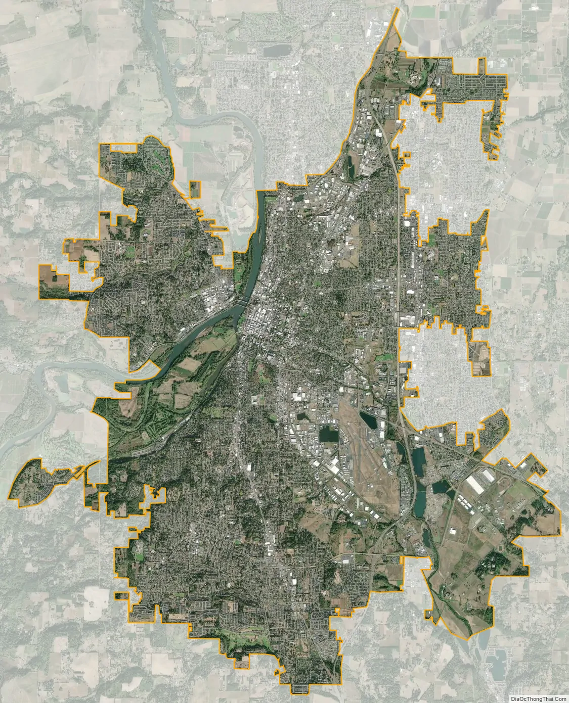
Salem city Satellite Map
Geography
Salem is located in the north-central Willamette Valley, in Marion and Polk counties. The 45th Parallel (roughly the halfway point between the North Pole and the Equator) passes through Salem’s city limits.
According to the United States Census Bureau, the city has a total area of 48.45 square miles (125.48 km), of which 47.90 square miles (124.06 km) is land and 0.55 square miles (1.42 km) is water.
Although the Willamette River flows through Salem, the North Santiam River watershed is Salem’s primary drinking water source. Other important streams that pass through Salem are Mill Creek, the Mill Race, Pringle Creek, and Shelton Ditch. Smaller streams in the southern and southeastern parts of the city include Clark Creek, Jory Creek, Battle Creek, Croisan Creek, and Claggett Creek, while Glen Creek and Brush Creek flow through West Salem.
Elevation within the city limits ranges from about 120 to 800 feet (37 to 244 m). Salem contains the volcanic Salem Hills in the south and is sandwiched by the 1,000 ft (300 m) Eola Hills directly to the west and the 600 ft (180 m) Waldo Hills to the east. Northern and eastern Salem are less hilly. South and West Salem contain some canyons and are the hilliest areas. The coast range and the Cascades—including Mount Hood, Mount Jefferson, and on the clearest of days, Mount St. Helens and Mount Adams in Washington—can be viewed from throughout the city.
Like most of the Willamette Valley area, Salem has a mediterranean climate (Köppen Csb). Rain is heaviest in late fall and throughout winter, and almost all of the annual precipitation falls between October and April, with a dry season from May through September. Light snowfall occurs in winter, but major snows are rare. Mostly cloudy skies and low cloud ceilings are commonplace during the rainy season.
Salem’s mean annual temperature is 54.1 °F (12.3 °C); its annual precipitation is 40.08 inches (1,018 mm), with an average 3.5 inches (8.9 cm) of snow included. However, over a quarter of years receive no snowfall. The state capital is about 47 mi (76 km) south of Portland, but actually has a lower average temperature than that of Portland (54.4 °F or 12.4 °C), due in part to the lower daily minima.
All-time extremes in Salem range from 117 to −12 °F (47 to −24 °C). The coldest afternoon of the year usually falls to 32 °F (0 °C) on the freezing point, whereas the coldest recorded maximum temperature was 16 °F (−9 °C) in three separate months and years. The warmest night on record was 74 °F (23 °C) in July 2006 and the warmest annual night averages 64 °F (18 °C).
See also
Map of Oregon State and its subdivision: Map of other states:- Alabama
- Alaska
- Arizona
- Arkansas
- California
- Colorado
- Connecticut
- Delaware
- District of Columbia
- Florida
- Georgia
- Hawaii
- Idaho
- Illinois
- Indiana
- Iowa
- Kansas
- Kentucky
- Louisiana
- Maine
- Maryland
- Massachusetts
- Michigan
- Minnesota
- Mississippi
- Missouri
- Montana
- Nebraska
- Nevada
- New Hampshire
- New Jersey
- New Mexico
- New York
- North Carolina
- North Dakota
- Ohio
- Oklahoma
- Oregon
- Pennsylvania
- Rhode Island
- South Carolina
- South Dakota
- Tennessee
- Texas
- Utah
- Vermont
- Virginia
- Washington
- West Virginia
- Wisconsin
- Wyoming