Allendale County is a county located in the U.S. state of South Carolina. As of the 2020 census, the population was 8,039, making it the least populous county in South Carolina. Its county seat is Allendale.
| Name: | Allendale County |
|---|---|
| FIPS code: | 45-005 |
| State: | South Carolina |
| Founded: | 1919 |
| Named for: | Paul H. Allen, early postmaster of Allendale |
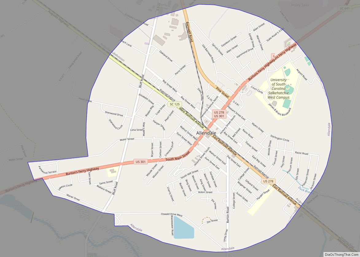
| Seat: | Allendale |
| Largest town: | Allendale |
| Total Area: | 412 sq mi (1,070 km²) |
| Land Area: | 408 sq mi (1,060 km²) |
| Total Population: | 8,039 |
| Population Density: | 20/sq mi (7.5/km²) |
| Time zone: | UTC−5 (Eastern) |
| Summer Time Zone (DST): | UTC−4 (EDT) |
| Website: | www.allendalecounty.com |
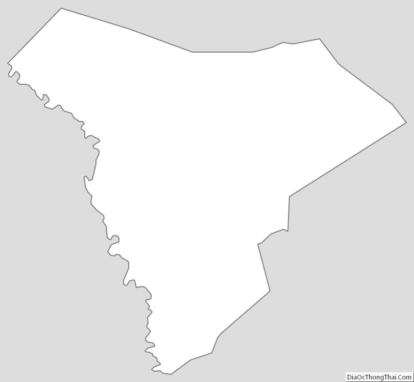
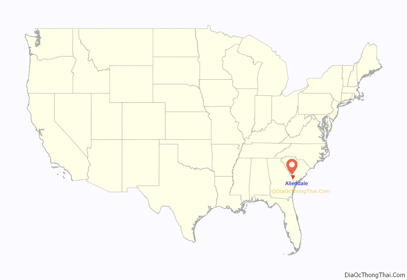
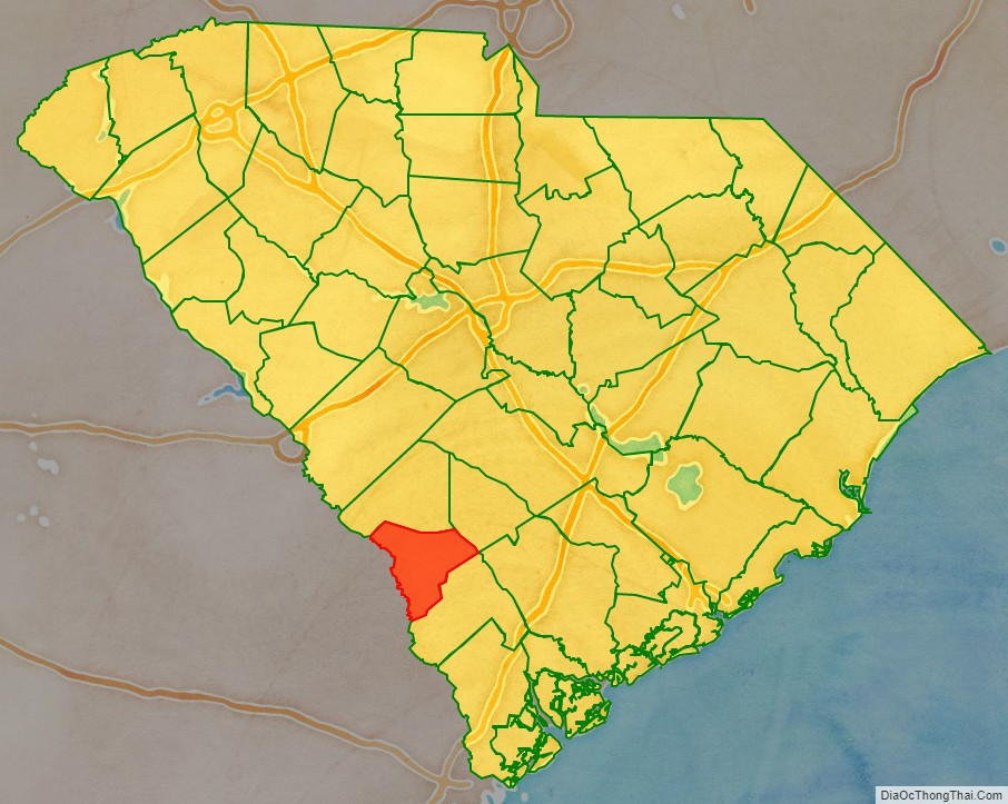
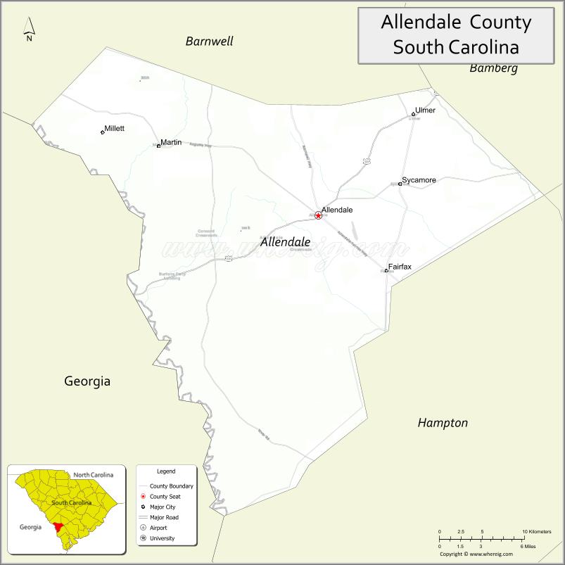
Allendale County location map. Where is Allendale County?
History
Allendale County was formed in 1919 from southwestern portions of Barnwell County, along the Savannah River, and part of Hampton County, just to its south. It is the location of the Topper Site, an archeological excavation providing possible evidence of a pre-Clovis culture dating back 50,000 years. The site is near a source of chert on private land in Martin owned by Clariant Corporation, a Swiss chemical company with a plant there. The site, named after John Topper, a local resident who discovered it, has been under excavation by archeologists from the University of South Carolina for about one month a year since 1999, after an initial exploratory dig in the mid-1980s.
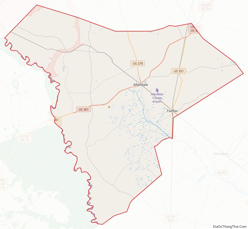
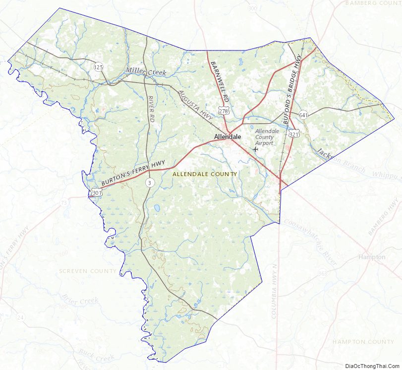
Allendale County Road Map
Geography
According to the U.S. Census Bureau, the county has a total area of 412 square miles (1,070 km), of which 408 square miles (1,060 km) is land and 4.3 square miles (11 km) (1.0%) is water. The Savannah River forms the county’s western border with Georgia.
Allendale is 62 miles from Augusta, Georgia; 73 miles from Savannah, Georgia; 87 miles from Columbia; and 90 miles from Charleston. Before interstate highways were built, Allendale had several motels, primarily serving travelers going between Northeastern states and Florida. Traffic that formerly traveled U.S. 301 through Allendale now uses Interstate-95.
Major water bodies
- Coosawhatchie River
- Salkehatchie River
- Savannah River
Adjacent counties
- Bamberg County – northeast
- Colleton County – east
- Hampton County – southeast
- Screven County, Georgia – southwest
- Burke County, Georgia – west
- Barnwell County – northwest
Major highways
- US 278
- US 301
- US 321
- SC 3
- SC 47
- SC 125
- SC 300
- SC 641
Major infrastructure
- Savannah River Site (part)
Allendale County Topographic Map
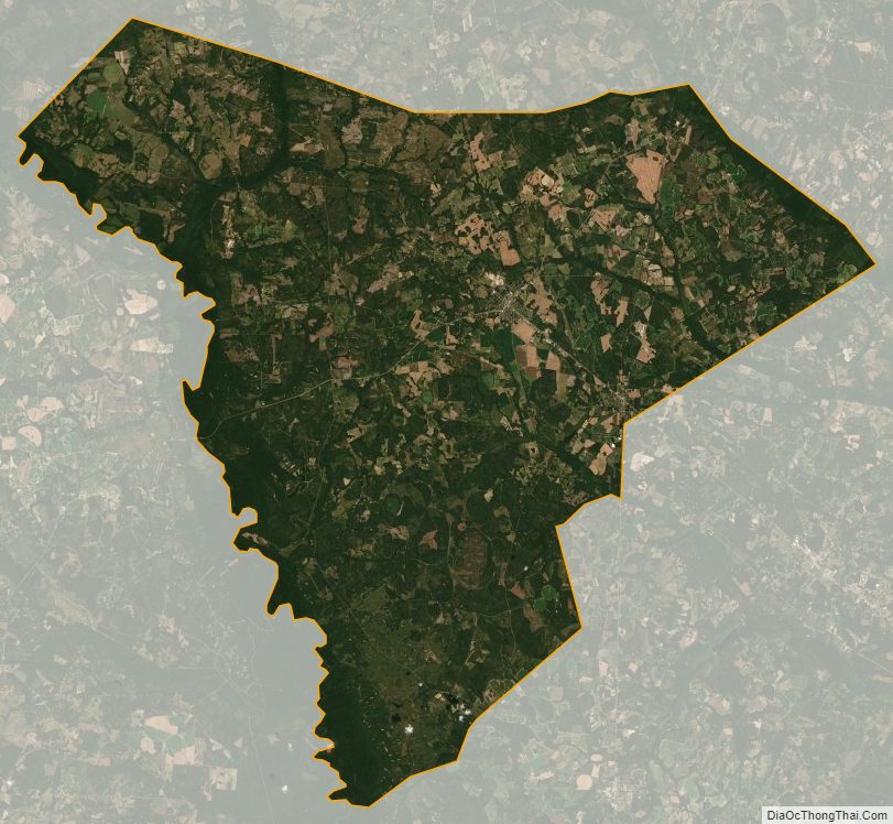
Allendale County Satellite Map
Allendale County Outline Map