Columbia is the capital city of the U.S. state of South Carolina. With a population of 136,632 at the 2020 census, it is the second-largest city in South Carolina. The city serves as the county seat of Richland County, and a portion of the city extends into neighboring Lexington County. It is the center of the Columbia Metropolitan Statistical Area, which had a population of 829,470 in 2020 and is 7th largest urban center in the Deep South and the 72nd-largest metropolitan statistical area in the nation. The name Columbia is a poetic term used for the United States, derived from the name of Christopher Columbus, who explored for the Spanish Crown. Columbia is often abbreviated as Cola, leading to its nickname as “Soda City.”
The city is located about 13 miles (21 km) northwest of the geographic center of South Carolina, and is the primary city of the Midlands region of the state. It lies at the confluence of the Saluda River and the Broad River, which merge at Columbia to form the Congaree River. As the state capital, Columbia is the site of the South Carolina State House, the center of government for the state. In 1860, the South Carolina Secession Convention took place in Columbia; delegates voted for secession, making South Carolina the first state to leave the Union in the events leading up to the Civil War.
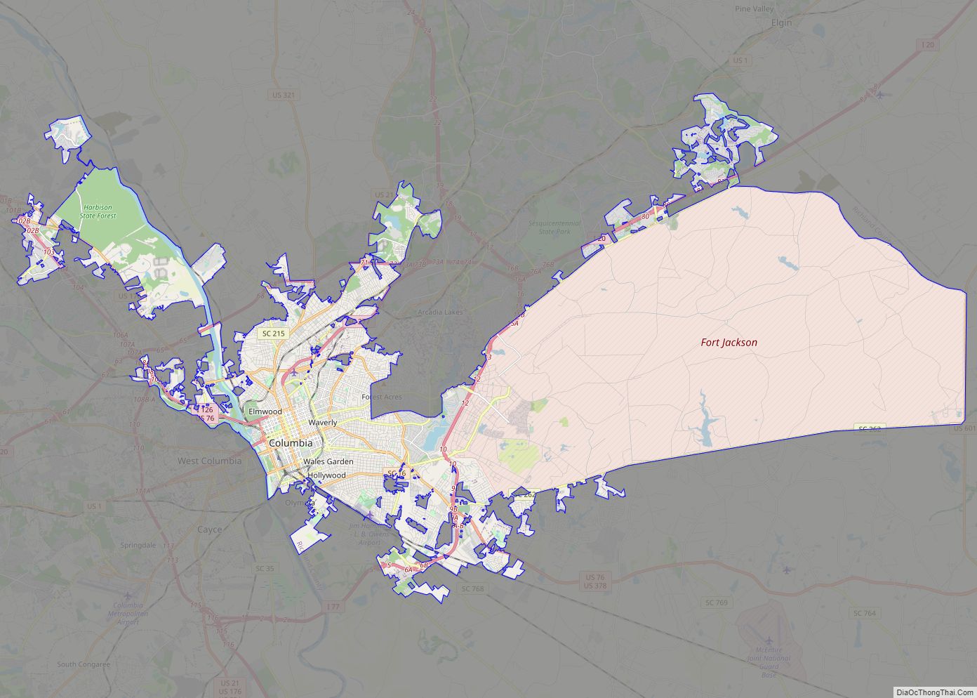
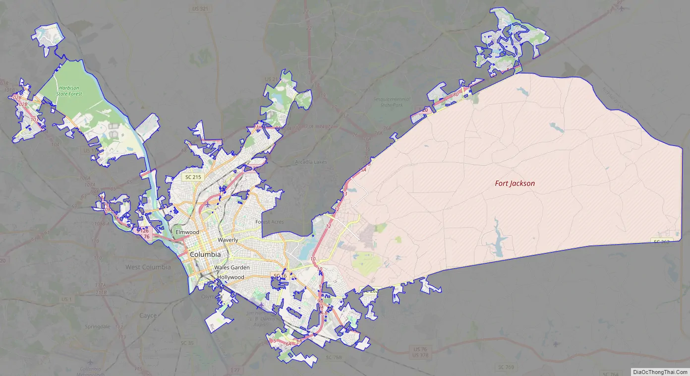
Columbia is home to the University of South Carolina, the state’s flagship public university and the largest in the state. The area has benefited from Congressional support for Southern military installations. Columbia is the site of Fort Jackson, the largest United States Army installation for Basic Combat Training. Twenty miles to the east of the city is McEntire Joint National Guard Base, which is operated by the U.S. Air Force and is used as a training base for the 169th Fighter Wing of the South Carolina Air National Guard.
| Name: | Columbia city |
|---|---|
| LSAD Code: | 25 |
| LSAD Description: | city (suffix) |
| State: | South Carolina |
| County: | Lexington County, Richland County |
| Elevation: | 302 ft (92 m) |
| Total Area: | 140.68 sq mi (364.37 km²) |
| Land Area: | 137.81 sq mi (356.93 km²) |
| Water Area: | 2.87 sq mi (7.44 km²) 2% |
| Total Population: | 136,632 |
| Population Density: | 991.45/sq mi (382.80/km²) |
| Area code: | 803, 839 |
| FIPS code: | 4516000 |
| GNISfeature ID: | 1245051 |
| Website: | www.columbiasc.net |
Explore the Columbia map collection and discover the beauty of the city yourself. Get to know the roads, attractions, and more – all in one place. Whether you’re a local or just visiting, this map collection will be a great resource.
Get to know the city of Columbia from the comfort of your own home with the Columbia map collection. With an interactive map, highway/road map, general reference map, and things to do, you’ll be able to explore the city like a local. Discover the parks, museums, and scenery of Columbia, South Carolina and find out why it has a southern charm.
Online Interactive Map
Click on ![]() to view map in "full screen" mode.
to view map in "full screen" mode.
This interactive map is perfect for finding the ideal vacation spot or visiting family and friends. The map provides a detailed, accurate, and up-to-date view of the area with the ability to zoom in on specific locations. Check out the heart of the city of Columbia and explore its lakes and rivers like the nearby Lake Murray and Broad River.
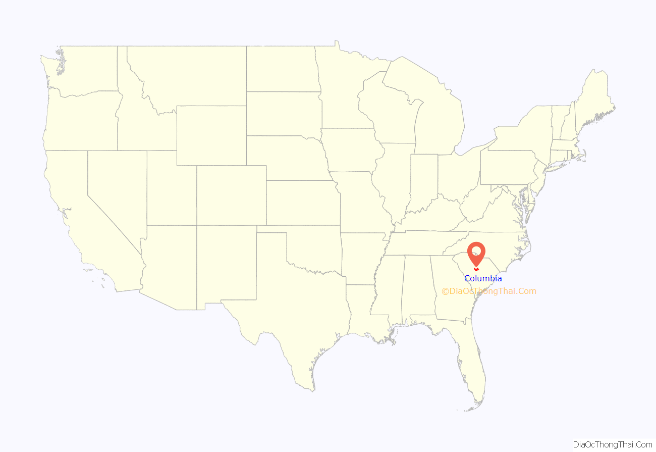
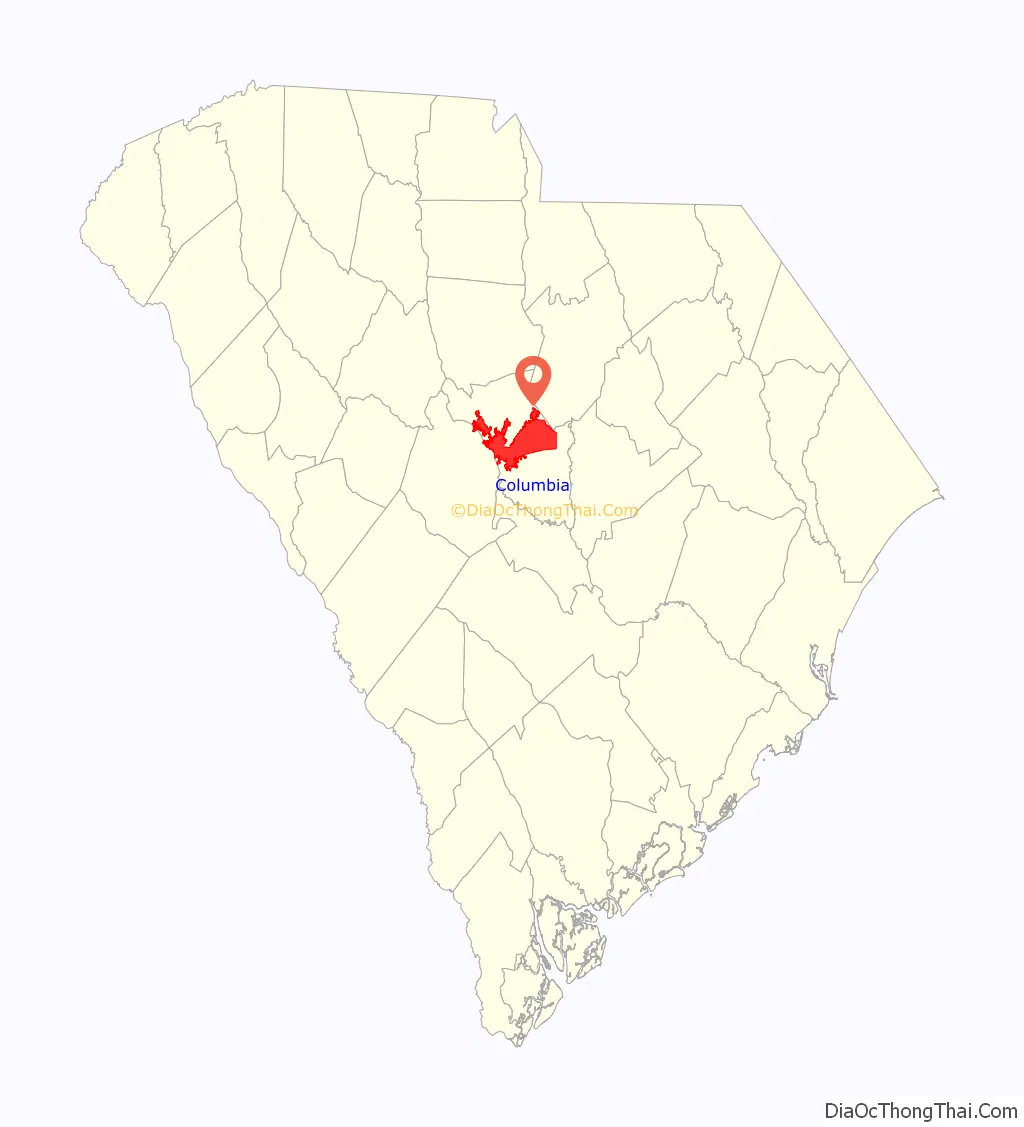
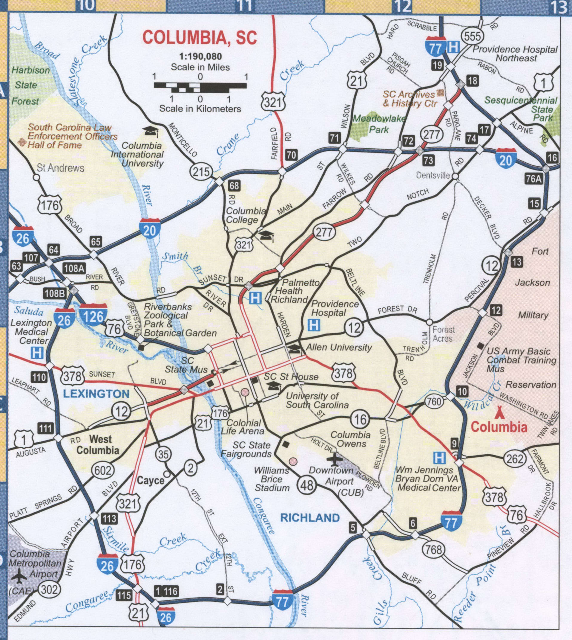
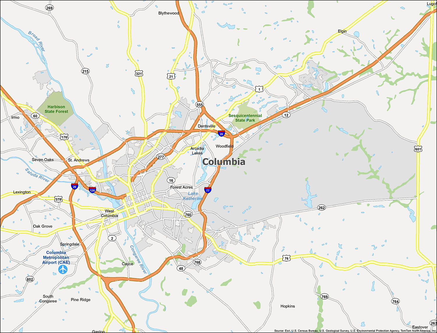
Columbia location map. Where is Columbia city?
Columbia Road Map
Columbia is a vibrant city full of life and adventure. Whether you’re visiting for a few days or just passing through, make sure you get the most out of your experience. Use this map to help you navigate the city on foot or by car. It provides details on all the highways and roads in the city. With this map, you can easily work out where to go, what to see, and what to do in and around Columbia.
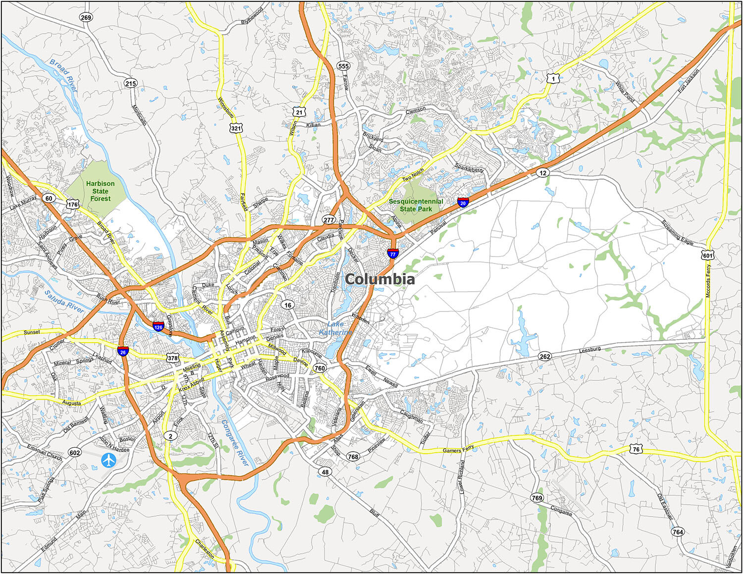
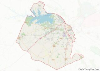
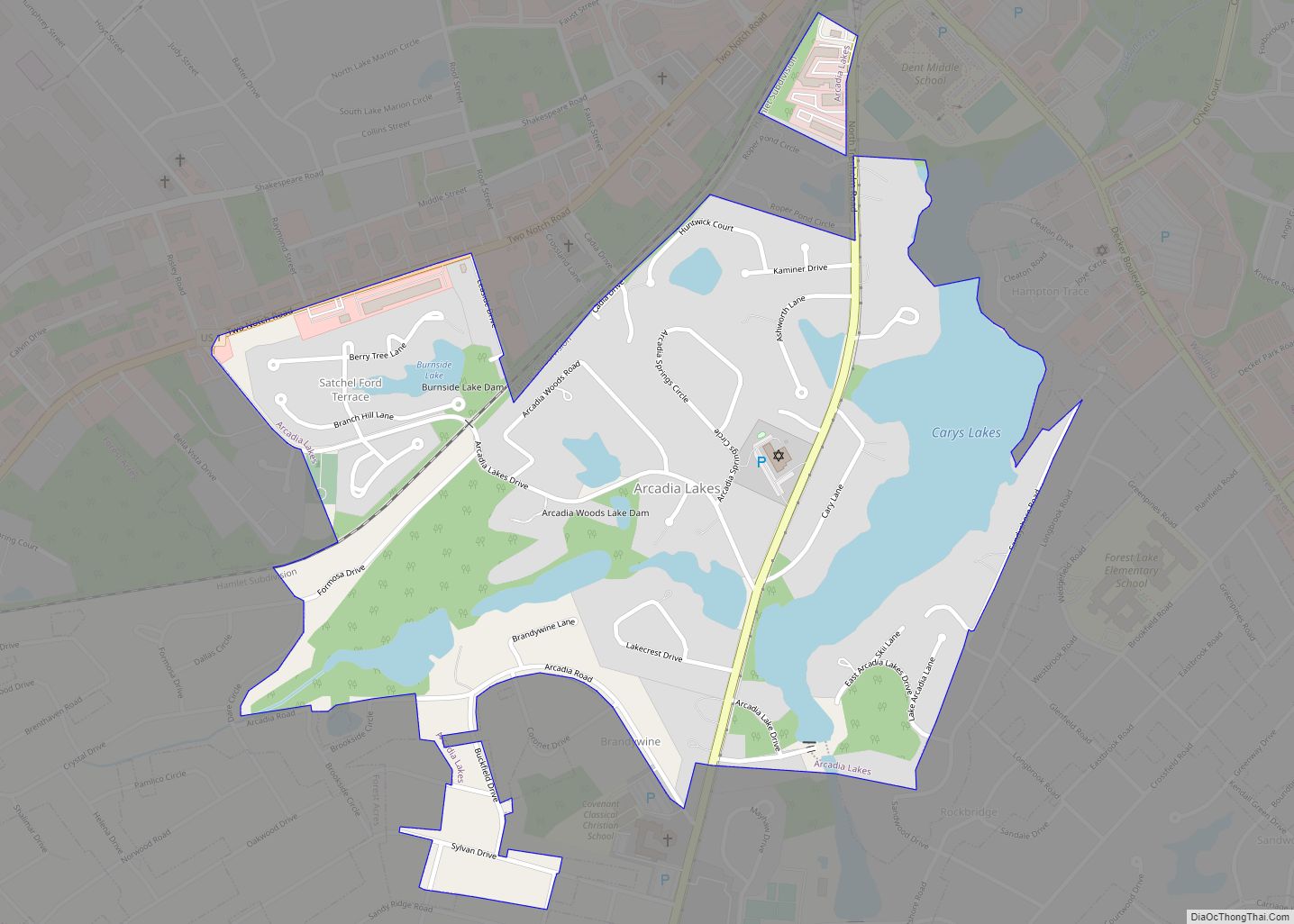
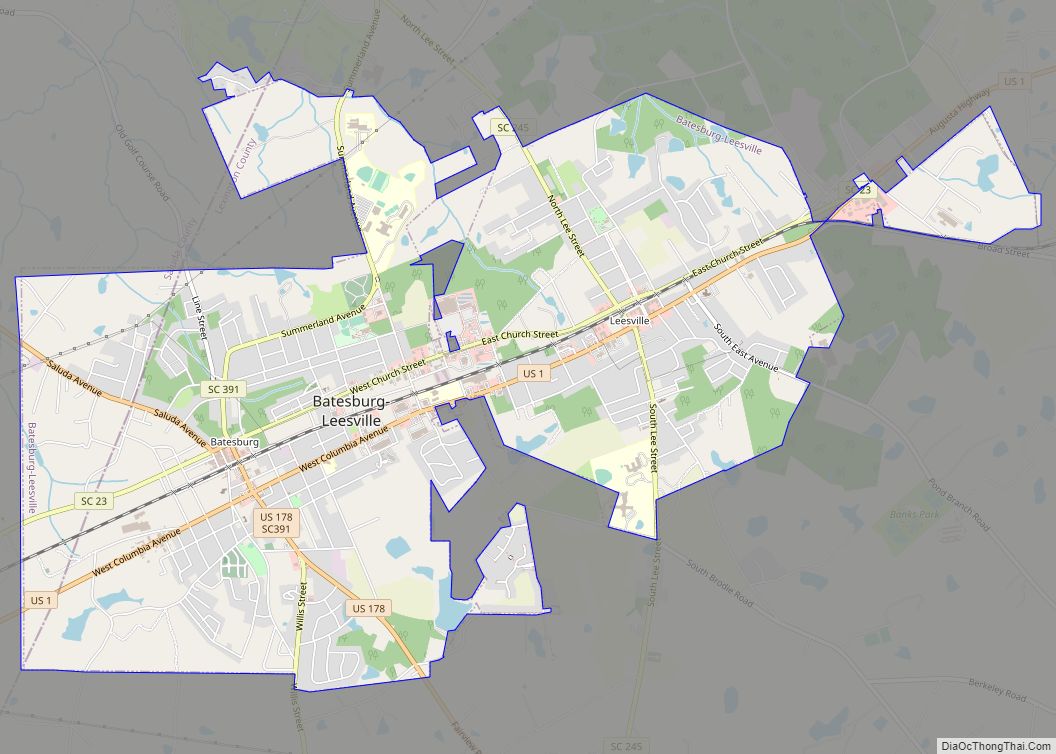
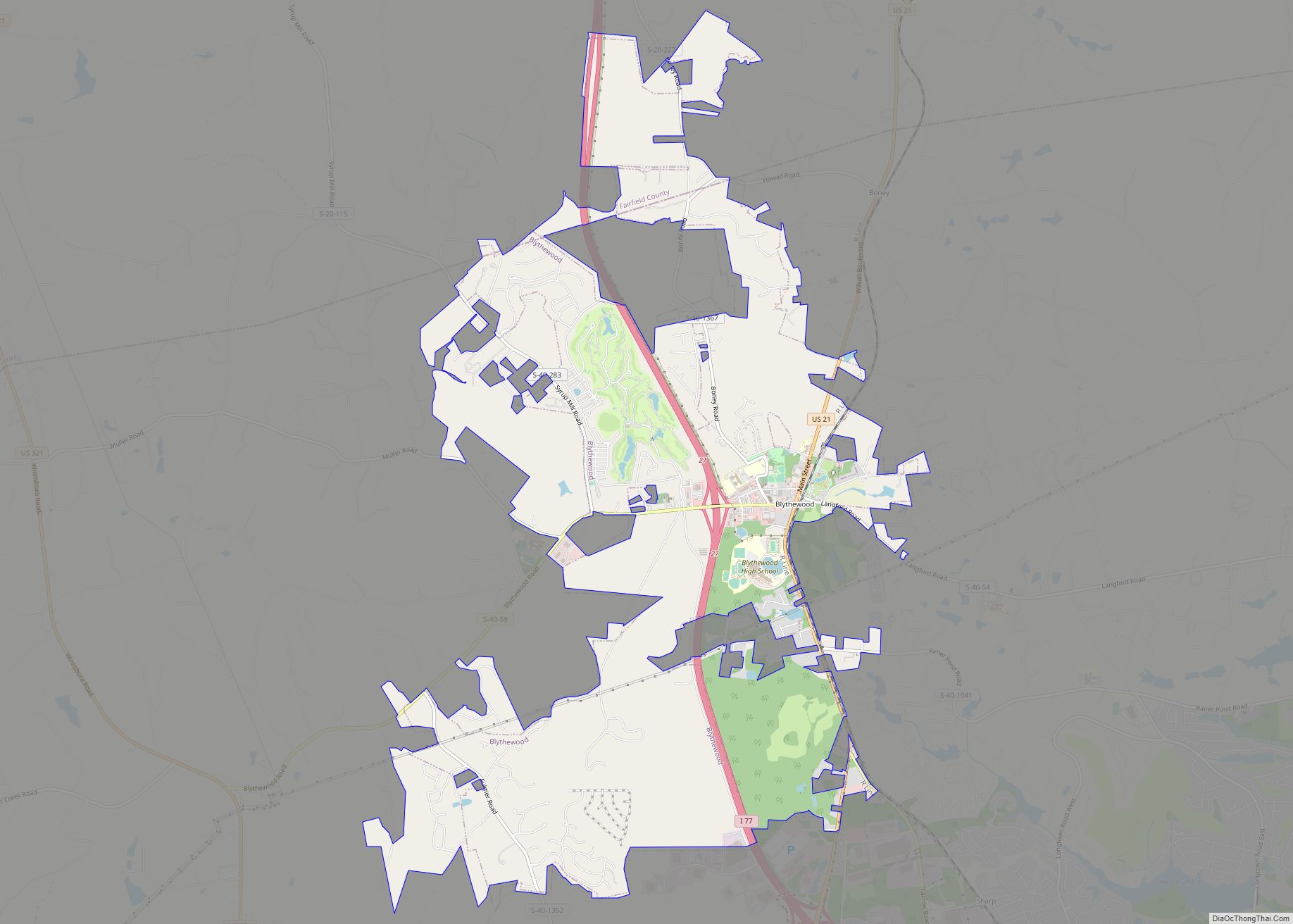
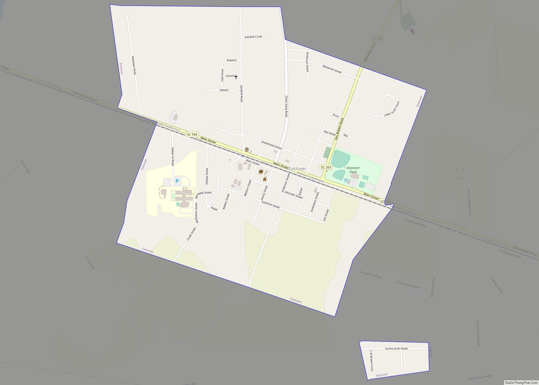
Explore Columbia and its many neighborhoods, places, and nearby towns with this map. It will provide you with all the information you need before you start your journey, making it easier for you to decide which is the best place for you to visit. The map includes Columbia Metropolitan Airport (CAE), as well as the cities of Cayce, Columbia, Forest Acres, and West Columbia, as well as the towns of Arcadia Lakes, Blythewood, Eastover, Elgin, Gaston, Irmo, Lexington, Pine Ridge, South Congaree, and Springdale, and the census-designated places (CDP) of Dentsville, Gadsden, Hopkins, Lugoff, Oak Grove, Seven Oaks, St. Andrews, and Woodfield.
10 things to do in Columbia city
Experience the beauty of Columbia, South Carolina. From the Riverbanks Zoo & Garden to the South Carolina State House, there are plenty of attractions to explore. Visit the Columbia Canal and Riverfront Park for a leisurely afternoon stroll and explore the University of South Carolina. Don’t forget to take a look at the Columbia Museum of Art and the Saluda Shoals Park. Whether you’re looking for an outdoor adventure or a cultural experience, there are plenty of great places to visit in Columbia, South Carolina.

Discover the beauty of Columbia, South Carolina with its many attractions. From the Columbia Museum of Art to the Riverbanks Zoo & Garden, there is something for everyone to explore. Visit the South Carolina State House, Sesquicentennial State Park, Columbia Canal and Riverfront Park, Saluda Shoals Park, Soda City, the University of South Carolina and Williams-Brice Stadium. Whether you’re looking for an outdoor adventure or a cultural experience, there are plenty of great places to visit in Columbia, South Carolina.
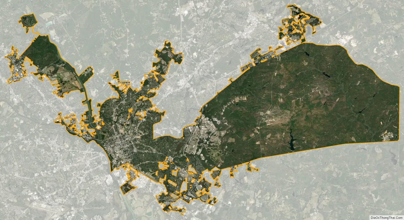
Columbia city Satellite Map
Geography
One of Columbia’s more prominent geographical features is the fall line, the boundary between the upland Piedmont region and the Atlantic Coastal Plain, across which rivers drop as falls or rapids. Columbia developed at the fall line of the Congaree River, which is formed by the confluence of the Broad and Saluda rivers. The Congaree was the farthest inland point of river navigation. The energy of falling water also powered Columbia’s early mills.
The city has capitalized on this location, which includes three rivers, by identifying as “The Columbia Riverbanks Region”. Columbia is located roughly halfway between the Atlantic Ocean and the Blue Ridge Mountains, at an elevation around 292 ft (89 m).
Soils in Columbia are well drained in most cases, with grayish brown loamy sand topsoil. The subsoil may be yellowish-red, sandy clay loam (Orangeburg series), yellowish-brown sandy clay loam (Norfolk series), or strong brown sandy clay (Marlboro series). All belong to the Ultisol soil order.
According to the United States Census Bureau, the city has a total area of 134.9 square miles (349.5 km), of which 132.2 square miles (342.4 km) is land and 2.7 square miles (7.0 km) is water (2.01%). Approximately ⅔ of Columbia’s land area, 81.2 square miles (210 km), is contained within the Fort Jackson Military Installation, much of which consists of uninhabited training grounds. The actual inhabited area for the city is slightly more than 50 square miles (130 km).
Climate
Columbia has a humid subtropical climate (Köppen Cfa), with relatively cool to mild winters and hot and humid summers. The area averages 55 nights below freezing and is subject to temporary cold spells during the winter, but extended cold or days where the temperature fails to rise above freezing are both rare. These cold snaps usually result from atmospheric troughs that bring in cold air from Canada across the Eastern part of the country. The USDA places Columbia in the 8a Hardiness Zone.
With an annual average of 5 days with 100 °F (38 °C)+ and 72 days with 90 °F (32 °C)+ temperatures, the city’s current promotional slogan describes Columbia as “Famously Hot”. In the summer months, Columbia usually has the greatest high temperature in the state. One reason for this is its low elevation in comparison to other cities at similar latitudes. For example, Atlanta has a significantly higher elevation, which helps to moderate its summer temperatures. Secondly, the city lies in the heart of the Sandhills region. Since the region’s soils are more sandy, they contain less water and can warm up more quickly. This explains why usually only the high temperatures and not the low temperatures are much different from across the state. Thirdly, because of its distance from the Atlantic Ocean, it does not receive the same moderating effects of coastal cities like Charleston. Lastly, the city experiences the urban heat island effect, making it significantly warmer than some surrounding towns and cities.
Precipitation, at 44.6 inches (1,130 mm) annually, peaks in the summer months largely because of afternoon thunderstorms, and is the least during spring and fall. Snowfall averages 1.5 inches (3.8 cm), but is largely variable depending on the year. Snow flurries usually do fall at least once during the winter season during its coldest periods. Like much of the southeastern U.S., the city is prone to inversions, which trap ozone and other pollutants over the area.
Official extremes in temperature at the main weather station have ranged from 109 °F (43 °C) on June 29 and 30, 2012 down to −2 °F (−19 °C), set on February 14, 1899. Only one other sub-zero temperature has been recorded in Columbia: −1 °F (−18 °C) on January 21, 1985. A weather station at the University of South Carolina campus measured a reading of 113 °F (45 °C) on June 29, 2012, which is the highest temperature ever recorded in South Carolina.
Metropolitan area
The metropolitan statistical area of Columbia is the second-largest in South Carolina; it has a population of 817,488 according to the 2016 Census estimates.
Columbia’s metropolitan counties include:
Columbia’s suburbs and environs include:
- St. Andrews, Richland County: Pop. 20,493 (unincorporated)
- Seven Oaks, Lexington County: Pop. 15,144 (unincorporated)
- Lexington: Pop. 17,870 (on Lake Murray)
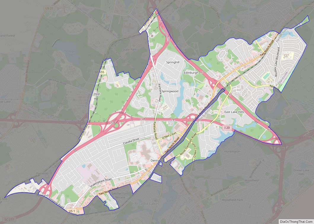
- Dentsville, Richland County: Pop. 14,062 (unincorporated)
- West Columbia: Pop. 14,988
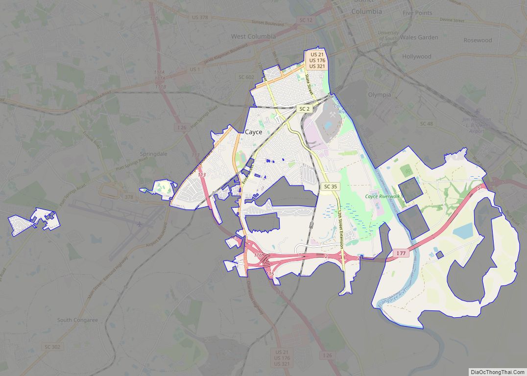
- Cayce, Lexington County: Pop. 12,528
- Irmo: Pop. 11,097 (partly on Lake Murray)
- Forest Acres: Pop. 10,361
- Blythewood, Richland/Fairfield County: Pop. 4,446
- Woodfield, Richland County: Pop. 9,303 (unincorporated)
- Red Bank, Lexington County: Pop. 9,617 (unincorporated)
- Oak Grove, Lexington County: Pop.10,291 (unincorporated)
- Camden, Kershaw County: Pop. 6,838
- Lugoff, Kershaw County: Pop. 7,434 (unincorporated)
Neighborhoods
- Allen Benedict Court
- Arsenal Hill
- Ashley Hall
- Ashley Place
- Belvedere
- Bluff Estates
- Booker Washington Heights
- Brookstone
- Brandon Hall
- Burton Heights (Standish Acres)
- Colonial Heights
- Colonial Park
- Colony
- Congaree Vista
- Cottontown/Bellevue Historic District
- Crane Forest
- Earlewood
- Eau Claire
- Elmwood Park
- Five Points
- Forest Acres
- Forest Hills
- Gable Oaks
- Granby Mill Village
- Greenview
- Gregg Park
- Gonzales Gardens
- Hastings Pointe Dr
- Harbison
- Heathwood
- Heritage Woods
- Highland Park
- Hollywood-Rose Hill
- Hollywood Hills
- Keenan Terrace
- Killian
- King’s Grant
- Lake Carolina
- Lake Katherine
- Lincolnshire
- Long Creek Plantation
- Magnolia Hall
- Martin Luther King (Valley Park)
- Melrose Heights
- Old Shandon
- Old Woodlands
- Olympia Mill Village
- Pinehurst
- Robert Mills Historic Neighborhood
- Rockgate
- Rosewood
- Sherwood Forest
- Shandon
- The Summit
- Summerhill
- Spring Valley
- University Hill
- Wales Garden
- Waverly Historic District
- Villages at Longtown
- Wheeler Hill
- WildeWood
- Winchester
- Winslow
- Winterwood
- Woodcreek Farms
- Woodlake
- The Woodlands
- Yorkshire
See also
Map of South Carolina State and its subdivision:- Abbeville
- Aiken
- Allendale
- Anderson
- Bamberg
- Barnwell
- Beaufort
- Berkeley
- Calhoun
- Charleston
- Cherokee
- Chester
- Chesterfield
- Clarendon
- Colleton
- Darlington
- Dillon
- Dorchester
- Edgefield
- Fairfield
- Florence
- Georgetown
- Greenville
- Greenwood
- Hampton
- Horry
- Jasper
- Kershaw
- Lancaster
- Laurens
- Lee
- Lexington
- Marion
- Marlboro
- McCormick
- Newberry
- Oconee
- Orangeburg
- Pickens
- Richland
- Saluda
- Spartanburg
- Sumter
- Union
- Williamsburg
- York
- Alabama
- Alaska
- Arizona
- Arkansas
- California
- Colorado
- Connecticut
- Delaware
- District of Columbia
- Florida
- Georgia
- Hawaii
- Idaho
- Illinois
- Indiana
- Iowa
- Kansas
- Kentucky
- Louisiana
- Maine
- Maryland
- Massachusetts
- Michigan
- Minnesota
- Mississippi
- Missouri
- Montana
- Nebraska
- Nevada
- New Hampshire
- New Jersey
- New Mexico
- New York
- North Carolina
- North Dakota
- Ohio
- Oklahoma
- Oregon
- Pennsylvania
- Rhode Island
- South Carolina
- South Dakota
- Tennessee
- Texas
- Utah
- Vermont
- Virginia
- Washington
- West Virginia
- Wisconsin
- Wyoming