Charleston is the largest city in the U.S. state of South Carolina, the county seat of Charleston County, and the principal city in the Charleston metropolitan area. The city lies just south of the geographical midpoint of South Carolina’s coastline on Charleston Harbor, an inlet of the Atlantic Ocean formed by the confluence of the Ashley, Cooper, and Wando rivers. Charleston had a population of 150,277 at the 2020 census. The 2020 population of the Charleston metropolitan area, comprising Berkeley, Charleston, and Dorchester counties, was 799,636 residents, the third-largest in the state, 8th-largest in the Deep South and the 74th-largest metropolitan statistical area in the United States.
Charleston was founded in 1670 as Charles Town, honoring King Charles II, at Albemarle Point on the west bank of the Ashley River (now Charles Towne Landing) but relocated in 1680 to its present site, which became the fifth-largest city in North America within ten years. It remained unincorporated throughout the colonial period; its government was handled directly by a colonial legislature and a governor sent by Parliament. Election districts were organized according to Anglican parishes, and some social services were managed by Anglican wardens and vestries. Charleston adopted its present spelling with its incorporation as a city in 1783. Population growth in the interior of South Carolina influenced the removal of the state government to Columbia in 1788, but Charleston remained among the ten largest cities in the United States through the 1840 census.
Charleston’s significance in American history is tied to its role as a major slave trading port. Charleston slave traders like Joseph Wragg were the first to break through the monopoly of the Royal African Company and pioneered the large-scale slave trade of the 18th century; almost one-half of slaves imported to the United States arrived in Charleston. In 2018, the city formally apologized for its role in the American slave trade.
| Name: | Charleston city |
|---|---|
| LSAD Code: | 25 |
| LSAD Description: | city (suffix) |
| State: | South Carolina |
| County: | Berkeley County, Charleston County |
| Founded: | 1670 |
| Elevation: | 20 ft (6 m) |
| Land Area: | 115.03 sq mi (297.93 km²) |
| Water Area: | 20.48 sq mi (53.04 km²) 14.51% |
| Population Density: | 1,305.97/sq mi (504.24/km²) |
| Area code: | 843, 854 |
| FIPS code: | 4513330 |
| GNISfeature ID: | 1221516 |
| Website: | www.charleston-sc.gov |
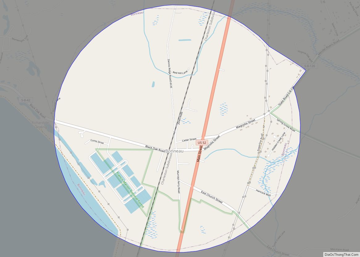
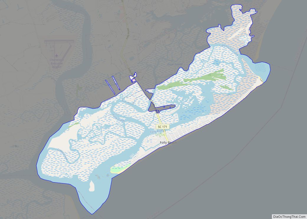
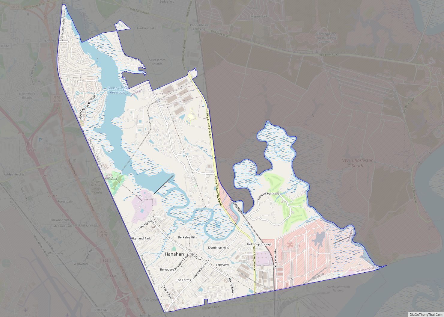
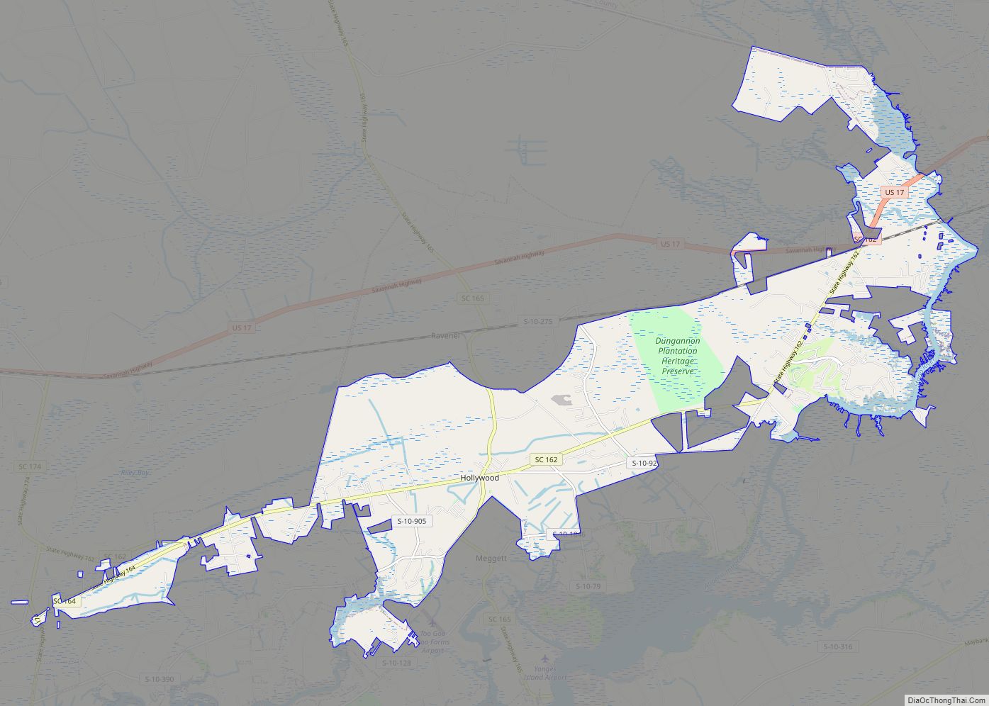
Our Charleston map collection will help you get around the city and find its most interesting places. Our maps feature roads/highways, things to do, and major landmarks. So, get your bearings with our interactive map and find out what’s going on in the city.
Whether you’re looking for a stroll around the Battery or a walk around the French Quarter, our Charleston map collection will help you explore the city and discover its hidden gems.
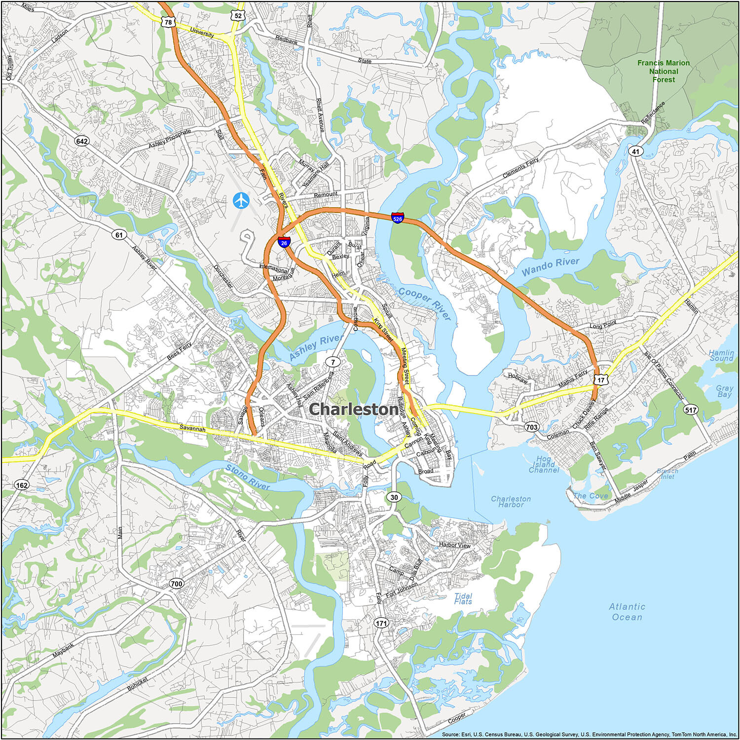
Online Interactive Map
Click on ![]() to view map in "full screen" mode.
to view map in "full screen" mode.
Charleston is the largest city in South Carolina and is located in the southeast of South Carolina in the coastal area. Get a sense of what’s around you with this interactive map. Find what you love to do and see what’s near your favorite restaurant, hotel, or event venue.
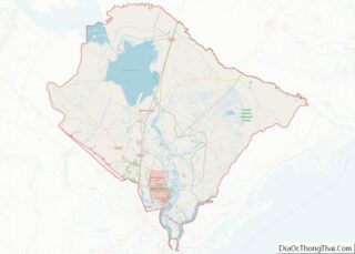
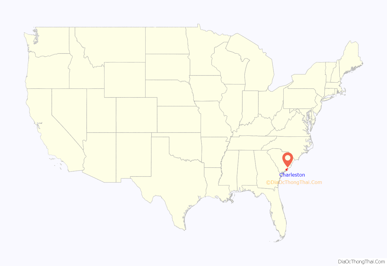
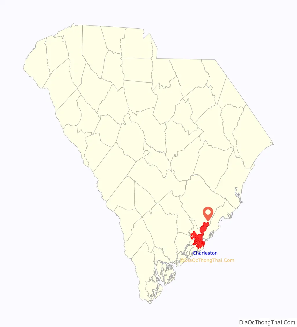
Charleston location map. Where is Charleston city?
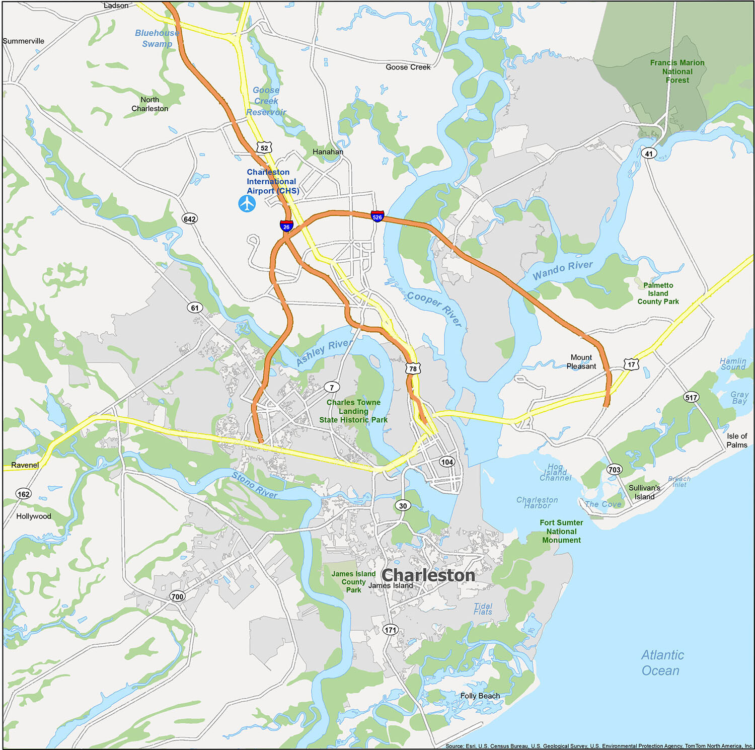
Charleston Road Map
When you’re ready to explore Charleston, South Carolina, this Charleston road map is the perfect tool to help you plan your perfect road trip. With easy-to-navigate highways and major roads, you can find your way around the city with ease. Whether you are traveling within the state or just need some help with directions, this map will help you get where you need to go.
Explore the neighborhoods of Charleston with this map! It shows you the cities, towns, rivers, lakes, beaches, and monuments of the area. You can easily find your way around and make the most of your time. Whether you’re planning a vacation or just looking for places to visit in town, this map has all the information you need.
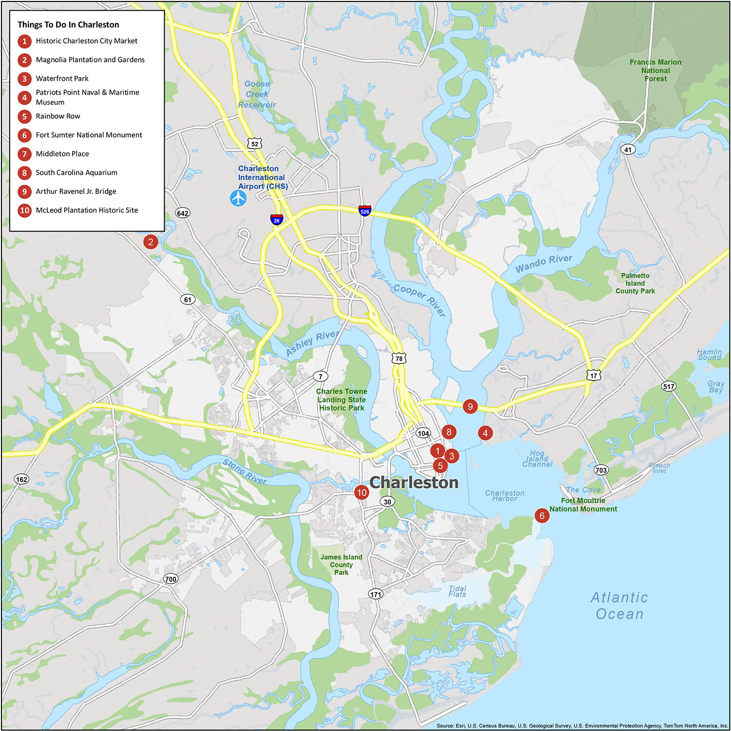
10 things to do in Charleston city
When you’re planning a road trip to South Carolina, don’t miss out on the many hidden gems scattered throughout the city of Charleston. From the Historic Charleston City Market to the Patriots Point Naval & Maritime Museum, there’s something for everyone. Explore the best places to dock and historical sites, like the Fort Sumter National Monument and the McLeod Plantation Historic Site. And don’t forget to take in the beauty of Rainbow Row and the South Carolina Aquarium. With this printable list of things to do, you won’t miss out on any of the area’s best attractions.
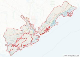
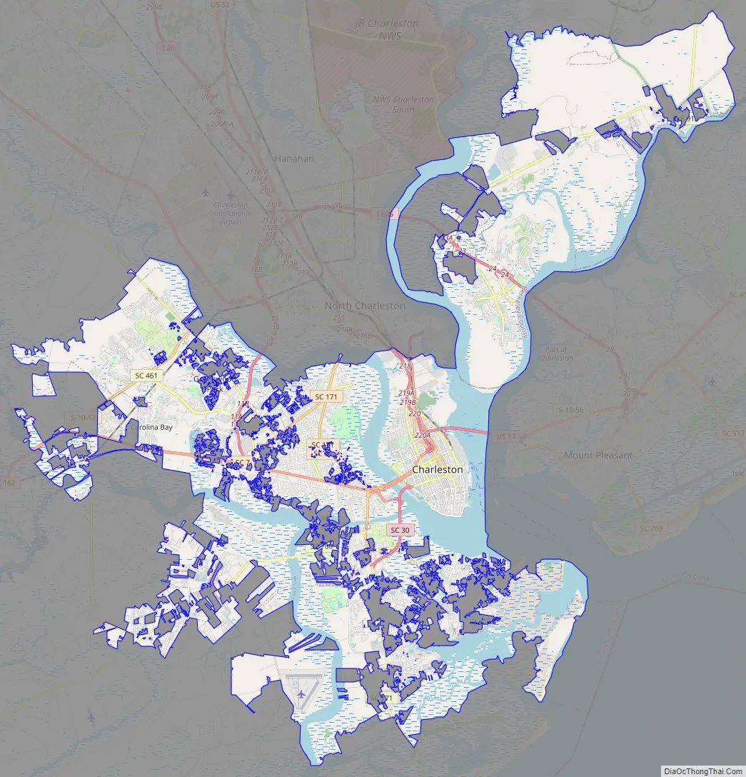
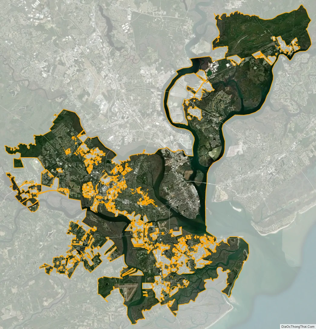
Charleston city Satellite Map
Geography
The city proper consists of six distinct districts.
- Downtown, or sometimes referred to as “The Peninsula”, is Charleston’s center city separated by the Ashley River to the west and the Cooper River to the east.
- West Ashley, residential area to the west of Downtown bordered by the Ashley River to the east and the Stono River to the west
- Johns Island, far western limits of Charleston, bordered by the Stono River to the east, Kiawah River to the south and Wadmalaw Island to the west
- James Island, popular residential area between Downtown and the town of Folly Beach with portions of the independent town of James Island intermixed
- Cainhoy Peninsula, far eastern limits of Charleston bordered by the Wando River to the west and Nowell Creek to the east
- Daniel Island, residential area to the north of downtown, east of the Cooper River and west of the Wando River
Topography
The incorporated city fitted into 4–5 sq mi (10–13 km) as late as the First World War, but has since greatly expanded, crossing the Ashley River and encompassing James Island and some of Johns Island. The city limits also have expanded across the Cooper River, encompassing Daniel Island and the Cainhoy area. The present city has a total area of 127.5 sq mi (330.2 km), of which 109.0 sq mi (282.2 km) is land and 18.5 sq mi (47.9 km) is covered by water. North Charleston blocks any expansion up the peninsula, and Mount Pleasant occupies the land directly east of the Cooper River.
Charleston Harbor runs about 7 mi (11 km) southeast to the Atlantic with an average width of about 2 mi (3.2 km), surrounded on all sides except its entrance. Sullivan’s Island lies to the north of the entrance and Morris Island to the south. The entrance itself is about 1 mi (2 km) wide; it was originally only 18 ft (5 m) deep but began to be enlarged in the 1870s. The tidal rivers (Wando, Cooper, Stono, and Ashley) are evidence of a submergent or drowned coastline. There is a submerged river delta off the mouth of the harbor, and the Cooper River is deep.
Climate
Charleston has a humid subtropical climate (Köppen climate classification Cfa), with mild winters, hot humid summers, and significant rainfall all year long. Summer is the wettest season; almost half of the annual rainfall occurs from June to September in the form of thundershowers. Fall remains relatively warm through the middle of November. Winter is short and mild, and is characterized by occasional rain. Measurable snow (≥0.1 in or 0.25 cm) has a median occurrence of only once per decade at the airport, but freezing rain is more common; a snowfall/freezing rain event on January 3, 2018, was the first such event in Charleston since December 26, 2010. However, 6.0 in (15 cm) fell at the airport on December 23, 1989, during the December 1989 United States cold wave, the largest single-day fall on record, contributing to a single-storm and seasonal record of 8.0 in (20 cm) snowfall.
Downtown Charleston’s climate is considerably milder than the airport’s due to stronger maritime influence. This is especially true in the winter, with the average January low in downtown being 43.6 °F (6 °C) to the airport’s 38.9 °F (4 °C) for example.
The highest temperature recorded within city limits was 104 °F (40 °C) on June 2, 1985, and June 24, 1944; the lowest was 7 °F (−14 °C) on February 14, 1899. At the airport, where official records are kept, the historical range is 105 °F (41 °C) on August 1, 1999, down to 6 °F (−14 °C) on January 21, 1985. Hurricanes are a major threat to the area during the summer and early fall, with several severe hurricanes hitting the area—most notably Hurricane Hugo on September 21, 1989 (a category 4 storm). The dewpoint from June to August ranges from 67.8 to 71.4 °F (19.9 to 21.9 °C).
Metropolitan Statistical Area
As defined by the U.S. Office of Management and Budget, for use by the U.S. Census Bureau and other U.S. Government agencies for statistical purposes only, Charleston is included within the Charleston–North Charleston, SC Metropolitan Statistical Area and the smaller Charleston-North Charleston urban area. The Charleston–North Charleston metropolitan area consists of three counties: Charleston, Berkeley, and Dorchester. As of the 2020 U.S. Census, the metropolitan statistical area had a total population of 799,636 people. North Charleston is the second-largest city in the metro area and ranks as the third-largest city in the state; Mount Pleasant and Summerville are the next-largest cities. These cities combined with other incorporated and unincorporated areas along with the city of Charleston form the Charleston–North Charleston urban area with a population of 548,404 as of 2010. The metropolitan statistical area also includes a separate and much smaller urban area within Berkeley County, Moncks Corner (with a 2000 population of 9,123).
The traditional parish system persisted until the Reconstruction Era, when counties were imposed. Nevertheless, traditional parishes still exist in various capacities, mainly as public service districts. When the city of Charleston was formed, it was defined by the limits of the Parish of St. Philip and St. Michael, now also includes parts of St. James’ Parish, St. George’s Parish, St. Andrew’s Parish, and St. John’s Parish, although the last two are mostly still incorporated rural parishes.
See also
Map of South Carolina State and its subdivision:- Abbeville
- Aiken
- Allendale
- Anderson
- Bamberg
- Barnwell
- Beaufort
- Berkeley
- Calhoun
- Charleston
- Cherokee
- Chester
- Chesterfield
- Clarendon
- Colleton
- Darlington
- Dillon
- Dorchester
- Edgefield
- Fairfield
- Florence
- Georgetown
- Greenville
- Greenwood
- Hampton
- Horry
- Jasper
- Kershaw
- Lancaster
- Laurens
- Lee
- Lexington
- Marion
- Marlboro
- McCormick
- Newberry
- Oconee
- Orangeburg
- Pickens
- Richland
- Saluda
- Spartanburg
- Sumter
- Union
- Williamsburg
- York
- Alabama
- Alaska
- Arizona
- Arkansas
- California
- Colorado
- Connecticut
- Delaware
- District of Columbia
- Florida
- Georgia
- Hawaii
- Idaho
- Illinois
- Indiana
- Iowa
- Kansas
- Kentucky
- Louisiana
- Maine
- Maryland
- Massachusetts
- Michigan
- Minnesota
- Mississippi
- Missouri
- Montana
- Nebraska
- Nevada
- New Hampshire
- New Jersey
- New Mexico
- New York
- North Carolina
- North Dakota
- Ohio
- Oklahoma
- Oregon
- Pennsylvania
- Rhode Island
- South Carolina
- South Dakota
- Tennessee
- Texas
- Utah
- Vermont
- Virginia
- Washington
- West Virginia
- Wisconsin
- Wyoming