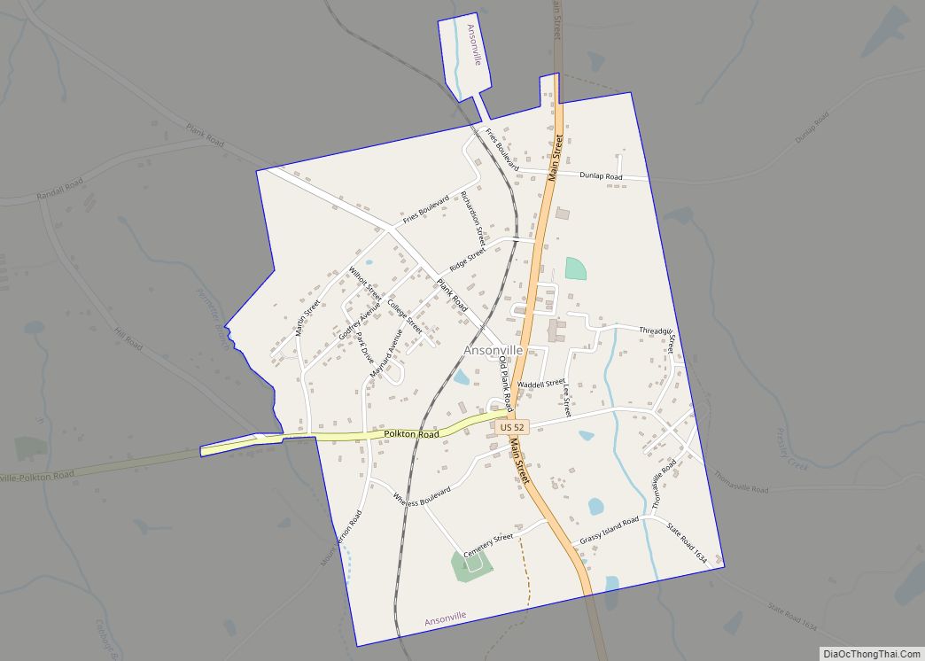
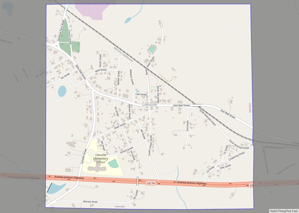
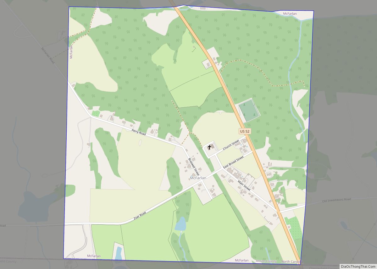
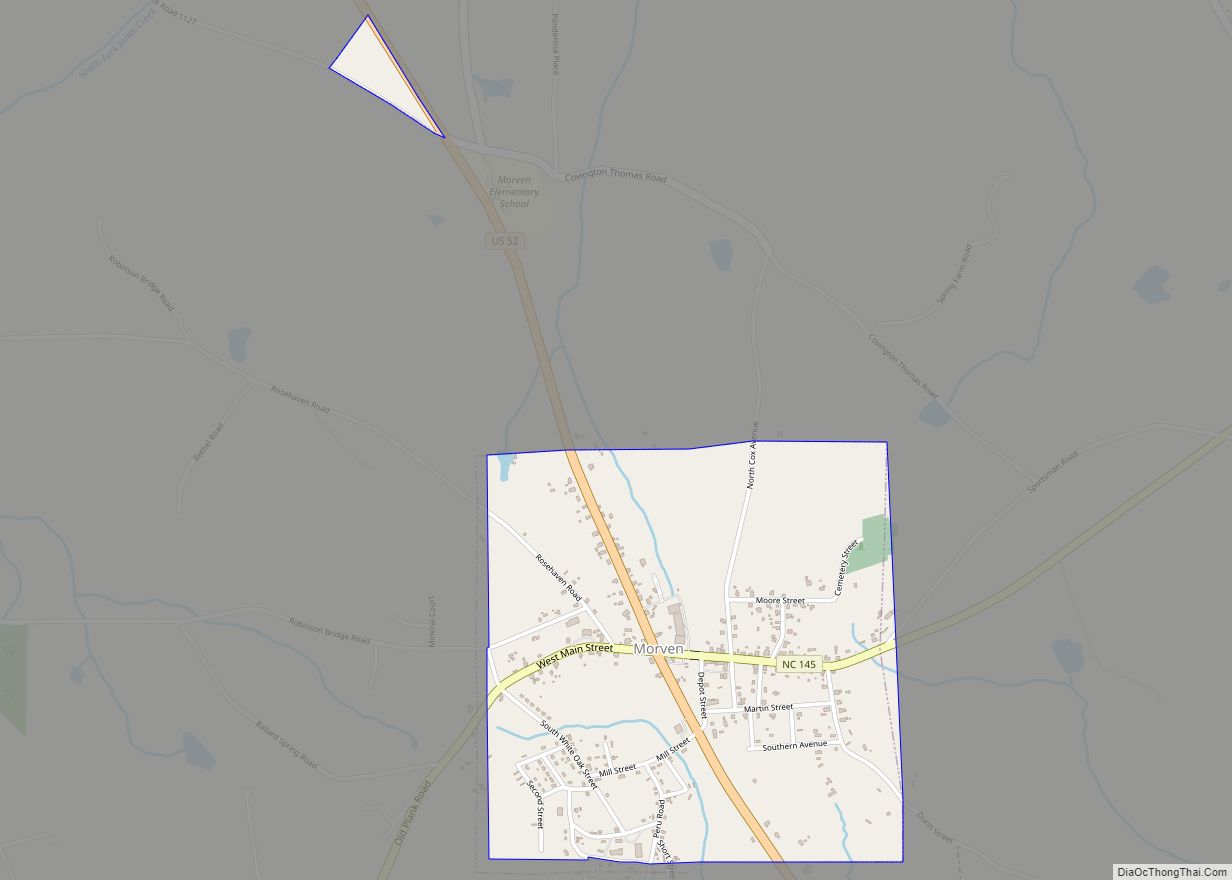
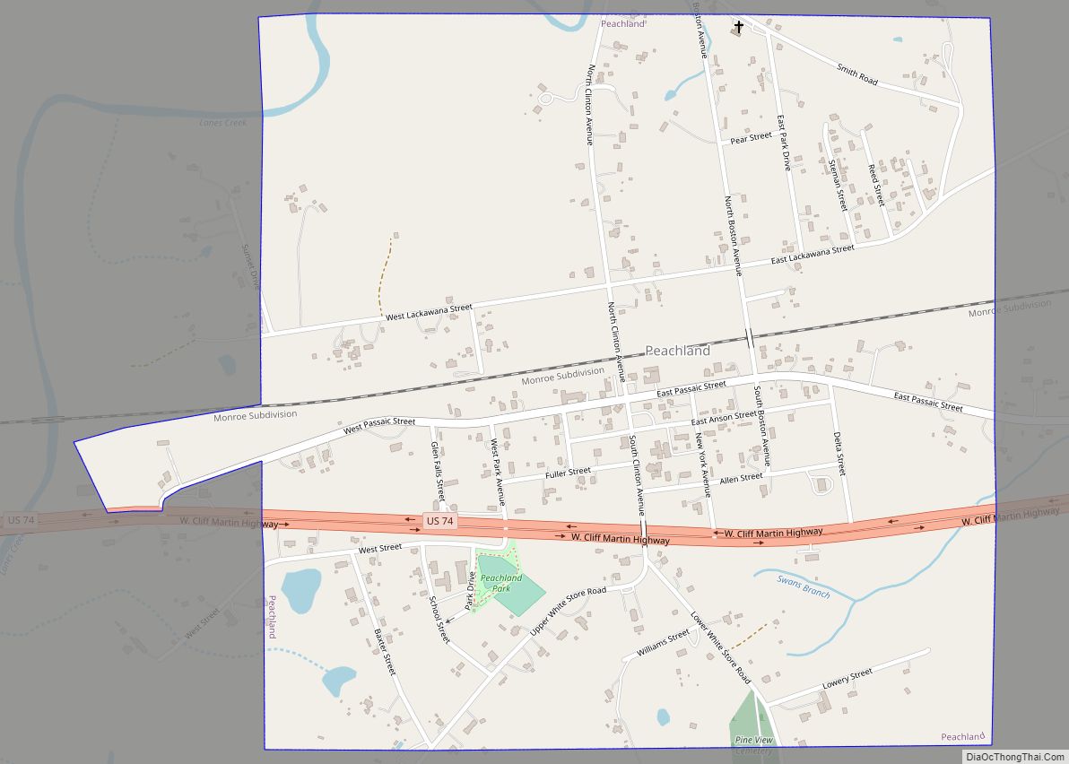
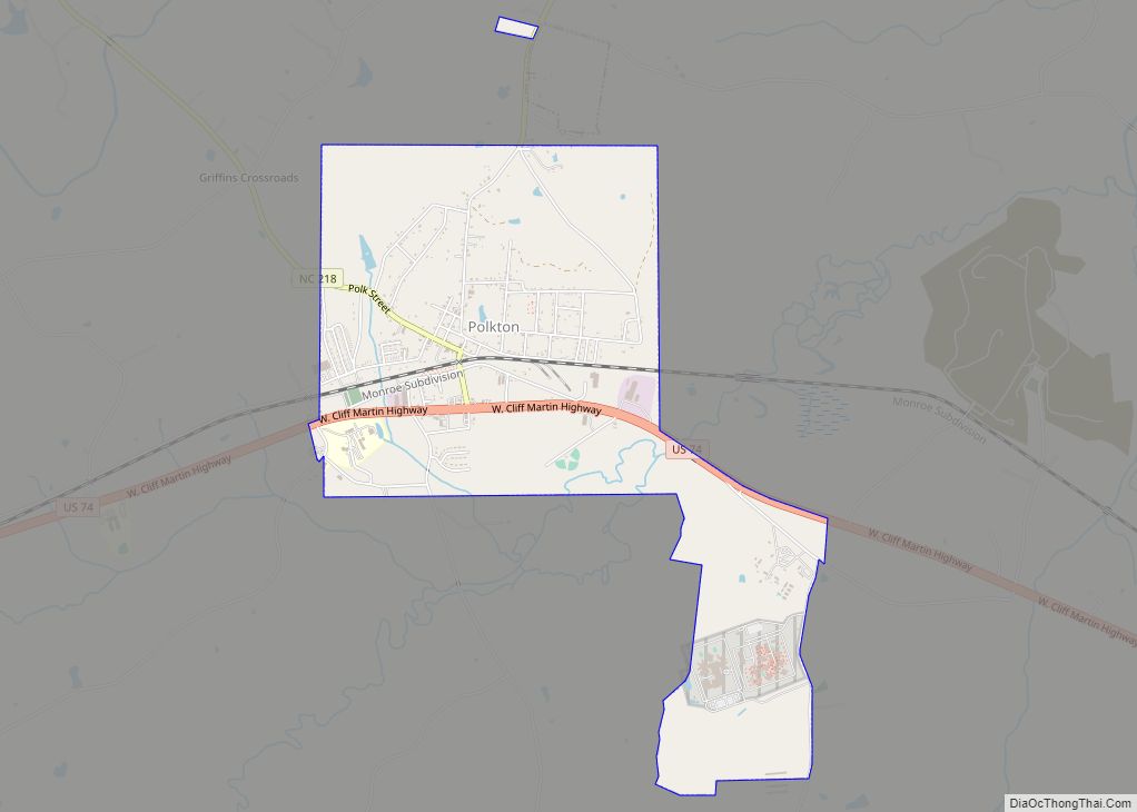
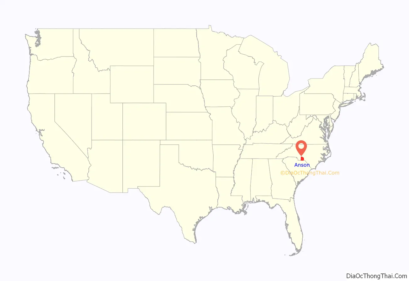
Anson County is a county located in the U.S. state of North Carolina. As of the 2020 census, the population was 22,055. Its county seat is Wadesboro.
| Name: | Anson County |
|---|---|
| FIPS code: | 37-007 |
| State: | North Carolina |
| Founded: | 1750 |
| Named for: | George Anson, Baron Anson |
| Seat: | Wadesboro |
| Largest town: | Wadesboro |
| Total Area: | 537 sq mi (1,390 km²) |
| Land Area: | 531 sq mi (1,380 km²) |
| Total Population: | 22,060 |
| Population Density: | 41.5/sq mi (16.0/km²) |
| Time zone: | UTC−5 (Eastern) |
| Summer Time Zone (DST): | UTC−4 (EDT) |
| Website: | www.co.anson.nc.us |
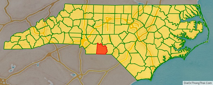
Anson County location map. Where is Anson County?
History
The county was formed in 1750 from Bladen County. It was named for George Anson, Baron Anson, a British admiral, who circumnavigated the globe from 1740 to 1744, and later became First Lord of the Admiralty. Anson purchased land in the state.
Like its parent county Bladen being occupied by Native American tribes(Waccamaw people), Anson County was originally occupied by Catawba Siouan tribe as a vast territory with indefinite northern and western boundaries. Reductions to its extent began in 1753, when the northern part of it became Rowan County. In 1762 the western part of Anson County became Mecklenburg County. In 1779 the northern part of what remained of Anson County became Montgomery County, and the part east of the Pee Dee River became Richmond County. Finally, in 1842 the western part of Anson County was combined with the southeastern part of Mecklenburg County to become Union County.
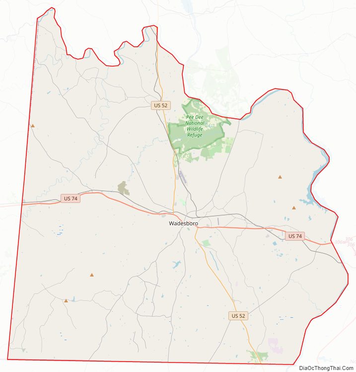
Anson County Road Map
Geography
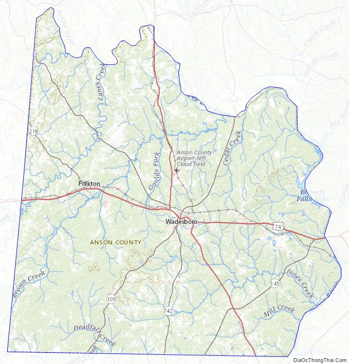
According to the U.S. Census Bureau, the county has a total area of 537 square miles (1,390 km), of which 531 square miles (1,380 km) is land and 5.6 square miles (15 km) (1.1%) is water.
National protected area
- Pee Dee National Wildlife Refuge (part)
State and local protected areas/sites
- Arrowhead Lake
- Gaddy Covered Bridge
- Pee Dee River Game Land
- Wadesboro Downtown Historic District
Major water bodies
- Blewett Falls Lake
- Brown Creek (Pee Dee River tributary)
- Goulds Fork (Brown Creek tributary)
- Great Pee Dee River
- Lanes Creek (Rocky River tributary)
- Rocky River
- Thoroughfare Creek
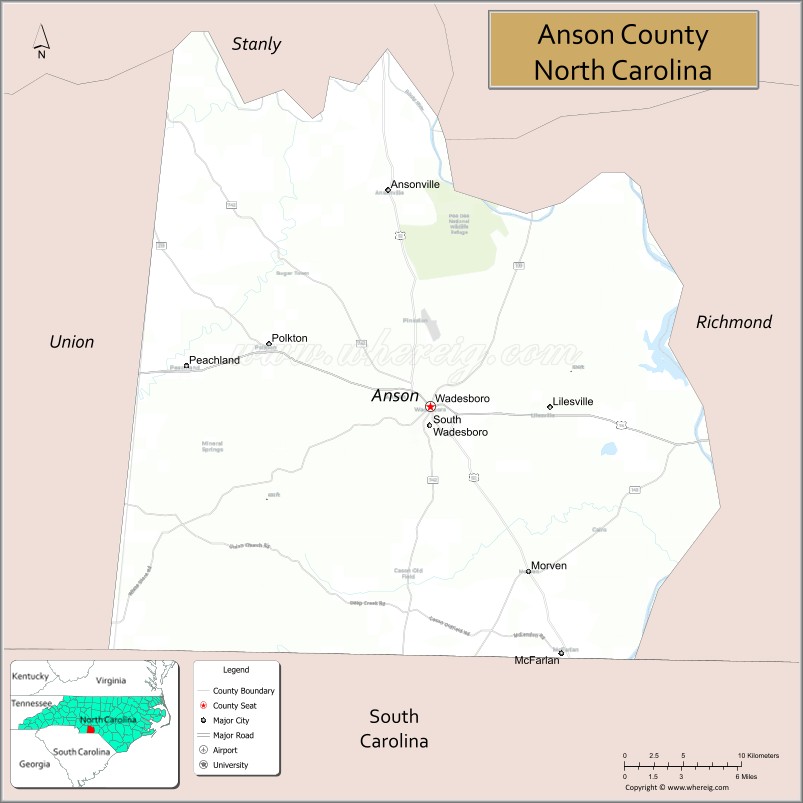
Adjacent counties
- Stanly County — north
- Montgomery County — northeast
- Richmond County — east
- Chesterfield County, South Carolina — south
- Union County — west
Major highways
- US 52
- US 74
- NC 109
- NC 145
- NC 218
- NC 742
Major infrastructure
- Anson County Airport
Anson County Topographic Map
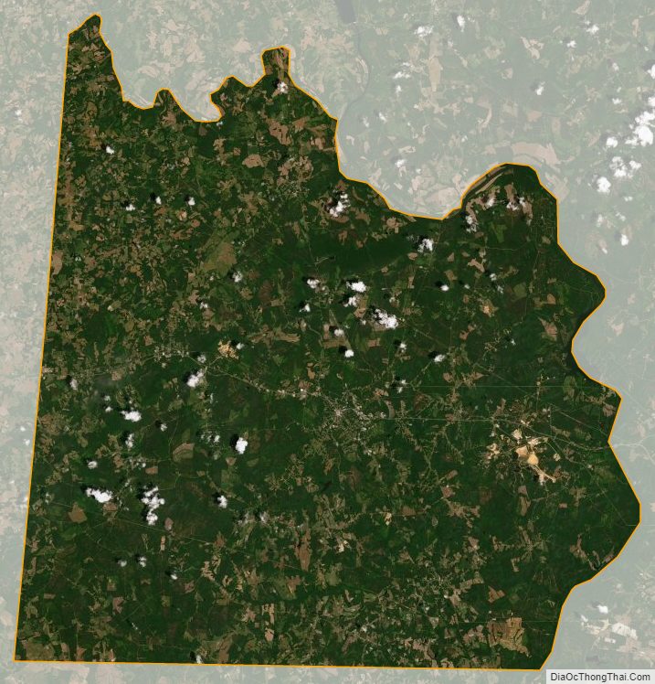
Anson County Satellite Map
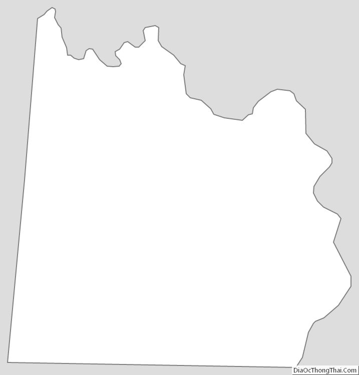
Anson County Outline Map