Wadesboro is a town and the county seat of Anson County, North Carolina, United States. The population was 5,049 at the 2020 census. The town was originally found in 1783 as New Town but changed by the North Carolina General Assembly to Wadesboro in 1787 to honor Colonel Thomas Wade, a native son, state legislator, and Revolutionary War commander of the Anson County Regiment.
| Name: | Wadesboro town |
|---|---|
| LSAD Code: | 43 |
| LSAD Description: | town (suffix) |
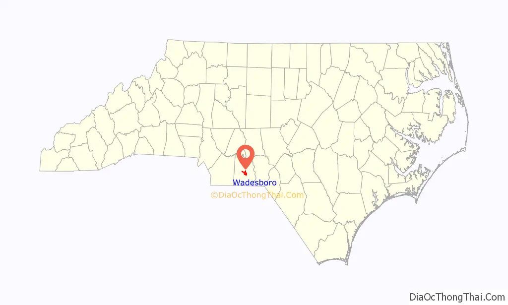
| State: | North Carolina |
| County: | Anson County |
| Founded: | 1783 |
| Elevation: | 512 ft (156 m) |
| Total Area: | 6.61 sq mi (17.12 km²) |
| Land Area: | 6.60 sq mi (17.08 km²) |
| Water Area: | 0.01 sq mi (0.03 km²) |
| Total Population: | 5,008 |
| Population Density: | 759.25/sq mi (293.16/km²) |
| Area code: | 704 |
| FIPS code: | 3770380 |
| GNISfeature ID: | 0996663 |
| Website: | townofwadesboro.org |
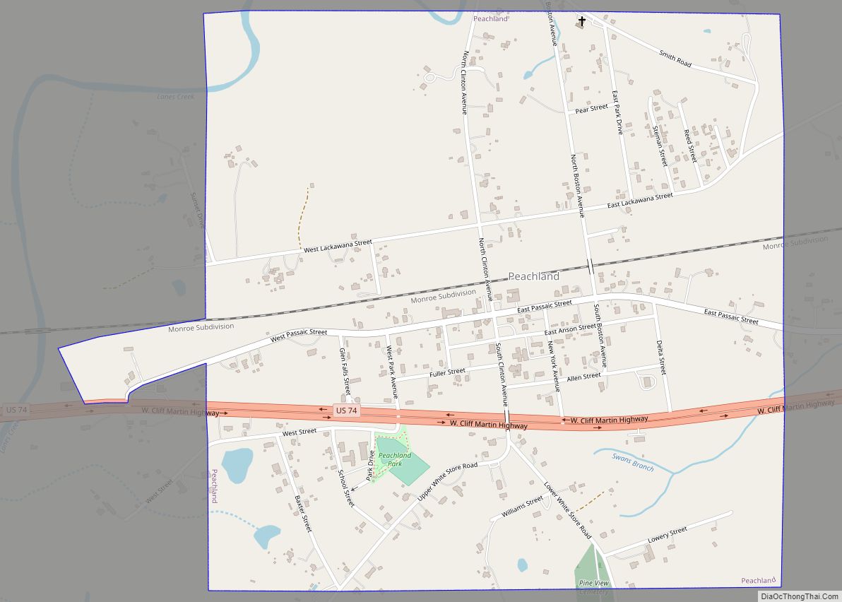
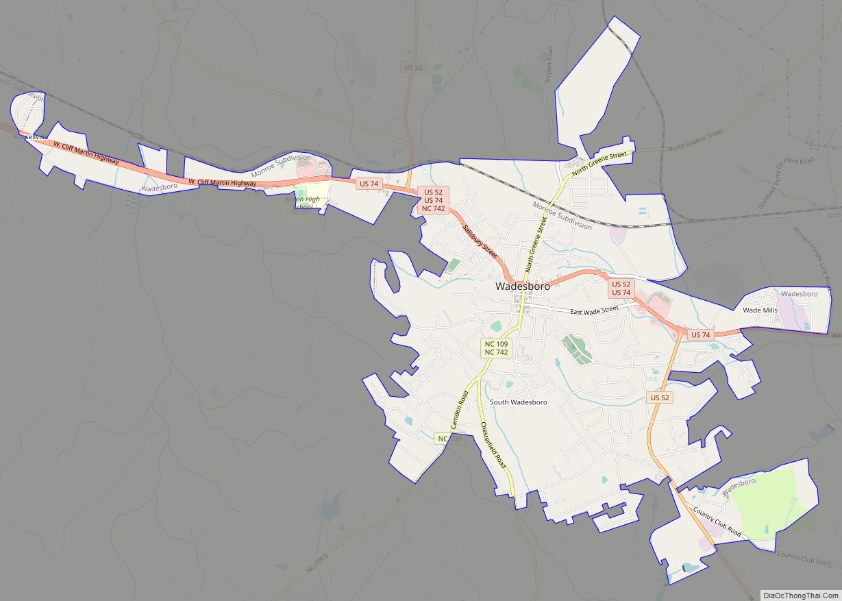
Online Interactive Map
Click on ![]() to view map in "full screen" mode.
to view map in "full screen" mode.
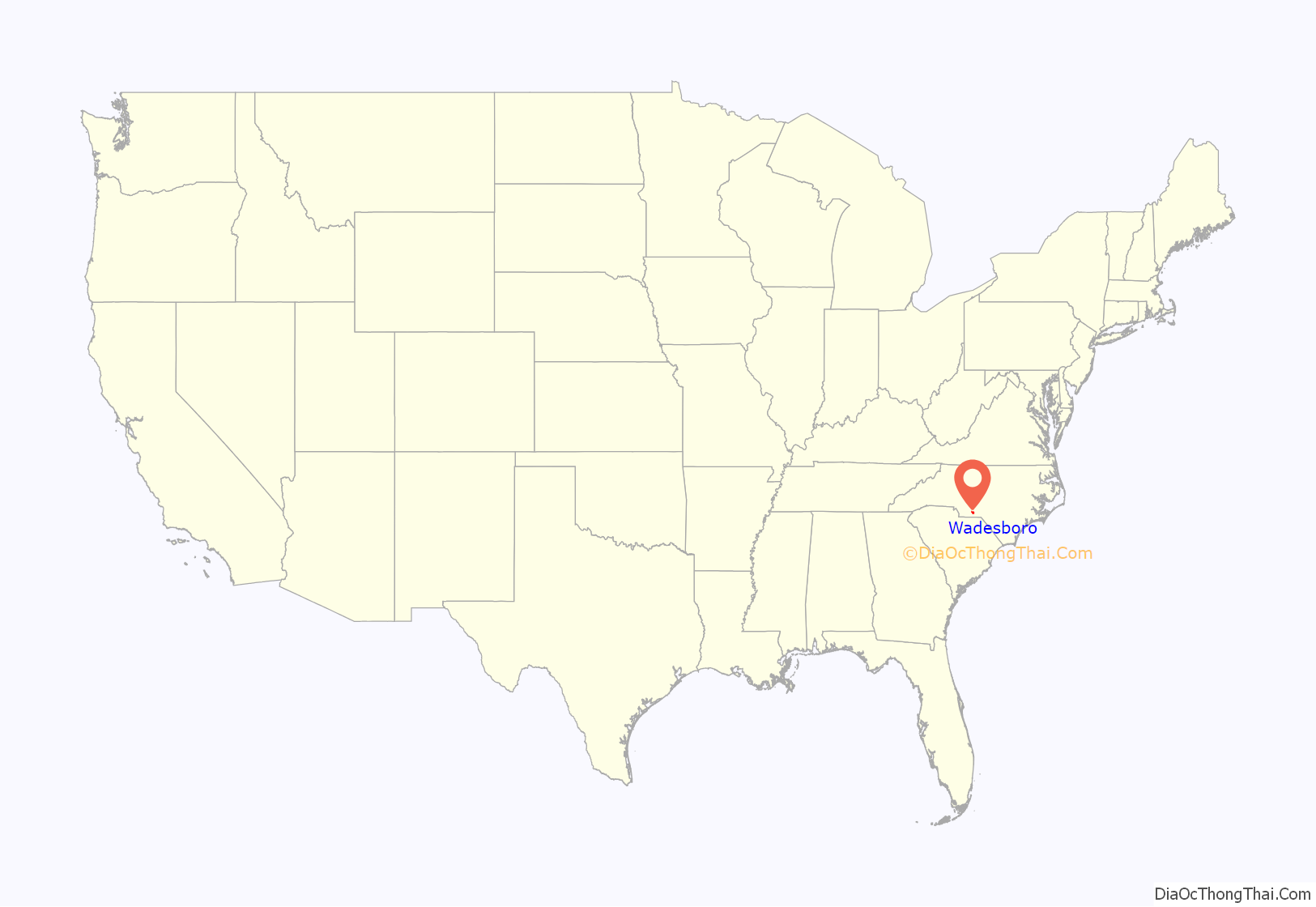
Wadesboro location map. Where is Wadesboro town?
History
Originally named Newtown, the town was renamed by the North Carolina General Assembly in 1787 to honor of Colonel Thomas Wade after his service with the Anson County Regiment of militia in the American Revolutionary War.
In 1900, astronomers determined that Wadesboro would be the best location in North America for viewing a total solar eclipse. The Smithsonian Astrophysical Observatory, then based in Washington, D.C., loaded several railroad cars with scientific equipment and headed to the town.
The Boggan-Hammond House and Alexander Little Wing, United States Post Office, and Wadesboro Downtown Historic District are listed on the National Register of Historic Places.
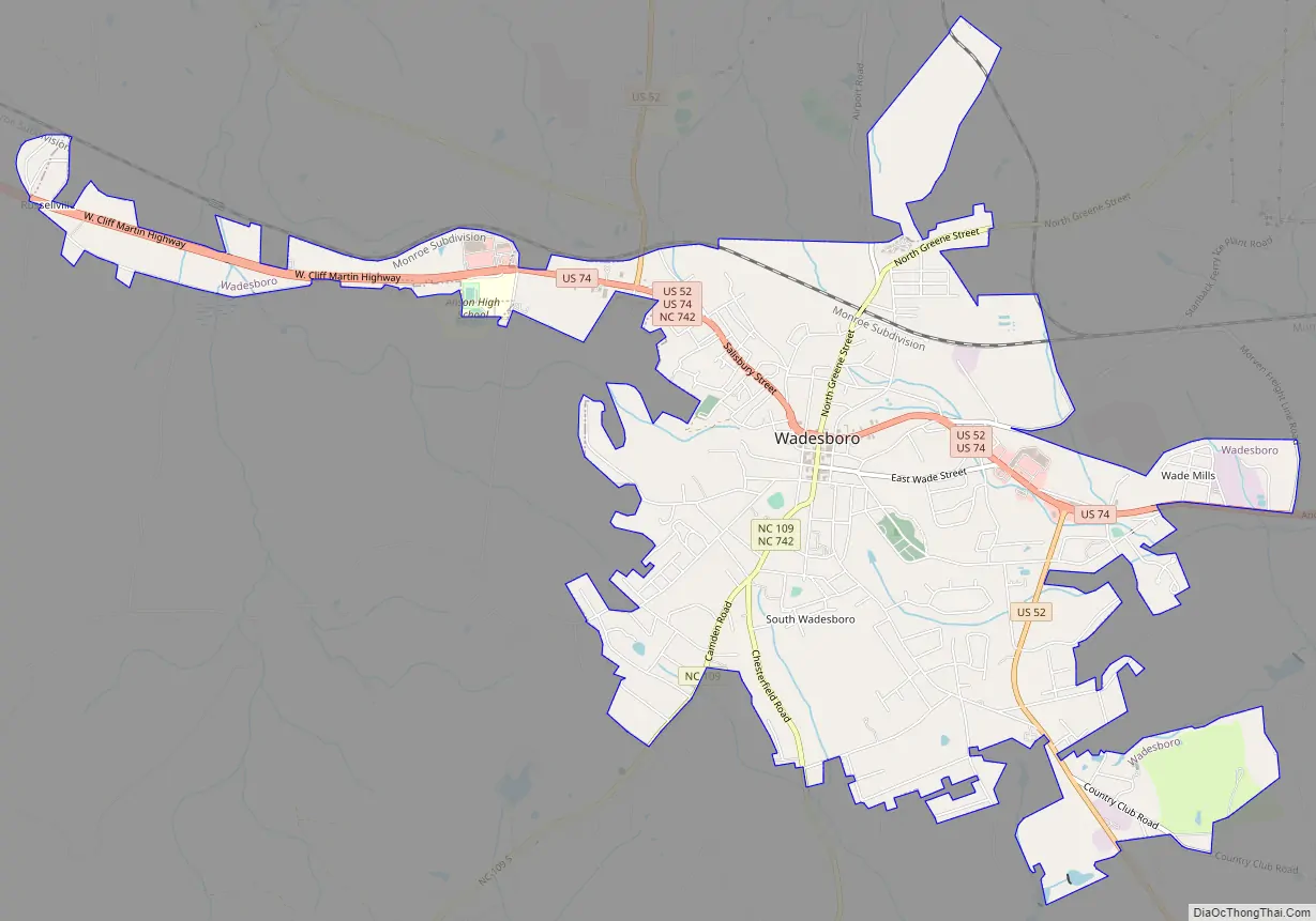
Wadesboro Road Map
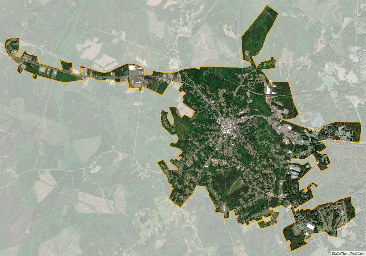
Wadesboro city Satellite Map
Geography
According to the U.S. Census Bureau, the town has a total area of 6.3 square miles (16.4 km), of which 0.012 square miles (0.03 km), or 0.20%, is water.
Wadesboro is situated 19 miles (31 km) west of Rockingham, 23 miles (37 km) north of Cheraw, 28 miles (45 km) east of Monroe, and 30 miles (48 km) south of Albemarle.
See also
Map of North Carolina State and its subdivision:- Alamance
- Alexander
- Alleghany
- Anson
- Ashe
- Avery
- Beaufort
- Bertie
- Bladen
- Brunswick
- Buncombe
- Burke
- Cabarrus
- Caldwell
- Camden
- Carteret
- Caswell
- Catawba
- Chatham
- Cherokee
- Chowan
- Clay
- Cleveland
- Columbus
- Craven
- Cumberland
- Currituck
- Dare
- Davidson
- Davie
- Duplin
- Durham
- Edgecombe
- Forsyth
- Franklin
- Gaston
- Gates
- Graham
- Granville
- Greene
- Guilford
- Halifax
- Harnett
- Haywood
- Henderson
- Hertford
- Hoke
- Hyde
- Iredell
- Jackson
- Johnston
- Jones
- Lee
- Lenoir
- Lincoln
- Macon
- Madison
- Martin
- McDowell
- Mecklenburg
- Mitchell
- Montgomery
- Moore
- Nash
- New Hanover
- Northampton
- Onslow
- Orange
- Pamlico
- Pasquotank
- Pender
- Perquimans
- Person
- Pitt
- Polk
- Randolph
- Richmond
- Robeson
- Rockingham
- Rowan
- Rutherford
- Sampson
- Scotland
- Stanly
- Stokes
- Surry
- Swain
- Transylvania
- Tyrrell
- Union
- Vance
- Wake
- Warren
- Washington
- Watauga
- Wayne
- Wilkes
- Wilson
- Yadkin
- Yancey
- Alabama
- Alaska
- Arizona
- Arkansas
- California
- Colorado
- Connecticut
- Delaware
- District of Columbia
- Florida
- Georgia
- Hawaii
- Idaho
- Illinois
- Indiana
- Iowa
- Kansas
- Kentucky
- Louisiana
- Maine
- Maryland
- Massachusetts
- Michigan
- Minnesota
- Mississippi
- Missouri
- Montana
- Nebraska
- Nevada
- New Hampshire
- New Jersey
- New Mexico
- New York
- North Carolina
- North Dakota
- Ohio
- Oklahoma
- Oregon
- Pennsylvania
- Rhode Island
- South Carolina
- South Dakota
- Tennessee
- Texas
- Utah
- Vermont
- Virginia
- Washington
- West Virginia
- Wisconsin
- Wyoming