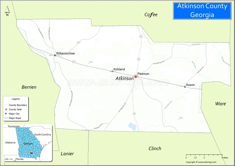
Atkinson County is a county located in the southeastern portion of the U.S. state of Georgia. As of the 2020 census, the population was 8,286. The county seat is Pearson. The county was formed in 1917 from parts of Coffee and Clinch Counties. It is named for William Yates Atkinson, Democratic governor of Georgia from 1894 to 1898. In 2003 it had the highest illiteracy rate of any U.S. county at 36%.
| Name: | Atkinson County |
|---|---|
| FIPS code: | 13-003 |
| State: | Georgia |
| Founded: | 1917 |
| Named for: | William Yates Atkinson |
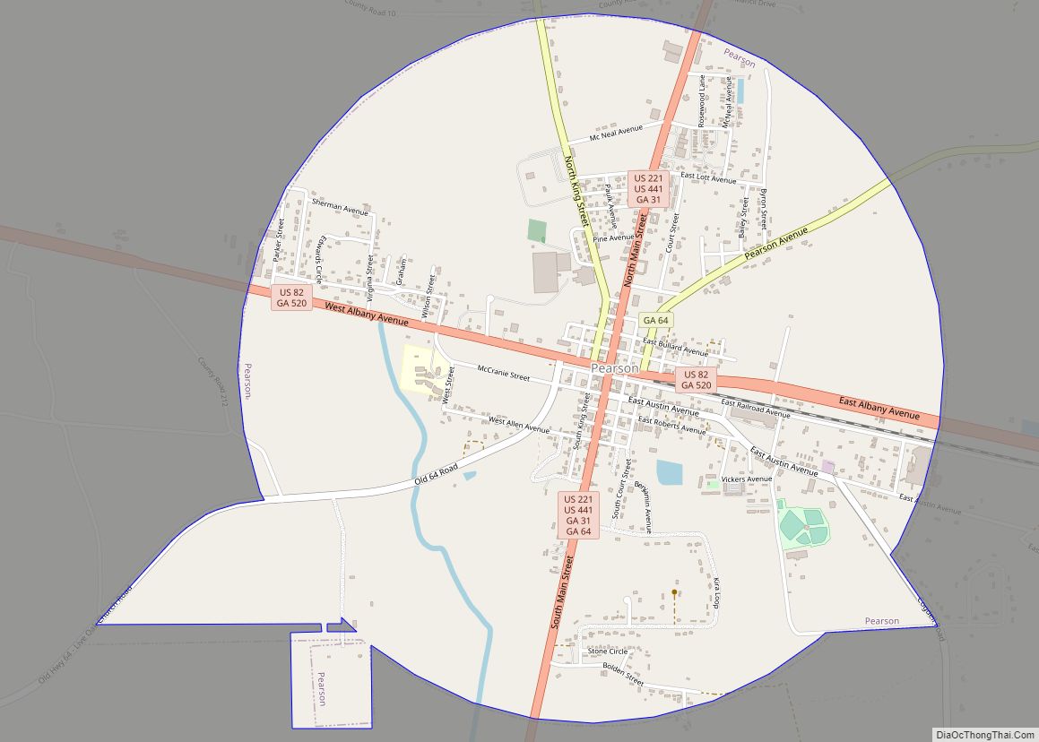
| Seat: | Pearson |
| Largest city: | Pearson |
| Total Area: | 345 sq mi (890 km²) |
| Land Area: | 339 sq mi (880 km²) |
| Total Population: | 8,286 |
| Population Density: | 24/sq mi (9/km²) |
| Time zone: | UTC−5 (Eastern) |
| Summer Time Zone (DST): | UTC−4 (EDT) |
| Website: | atkinsoncounty.org |
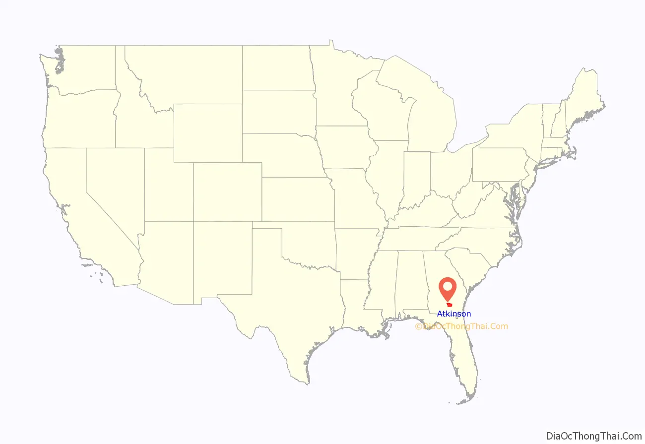
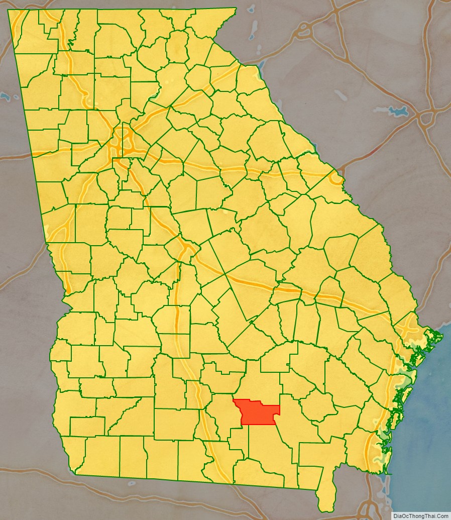
Atkinson County location map. Where is Atkinson County?
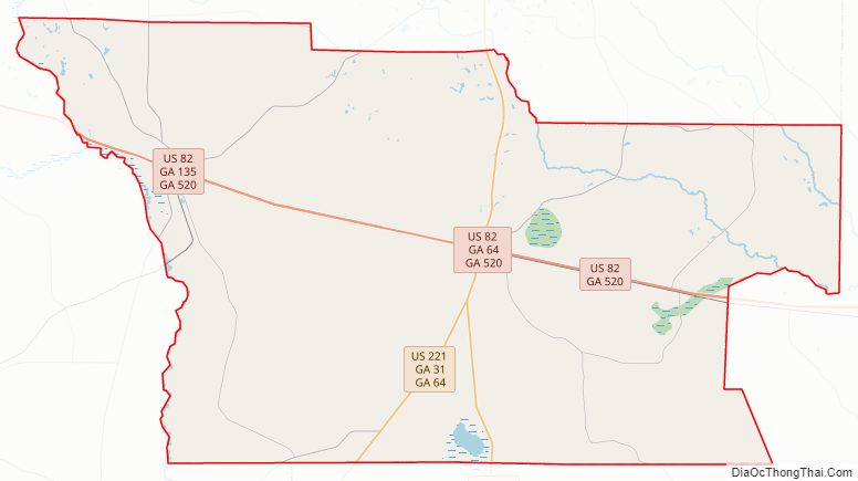
Atkinson County Road Map
Geography
According to the U.S. Census Bureau, the county has a total area of 345 square miles (890 km), of which 339 square miles (880 km) is land and 5.2 square miles (13 km) (1.5%) is water.
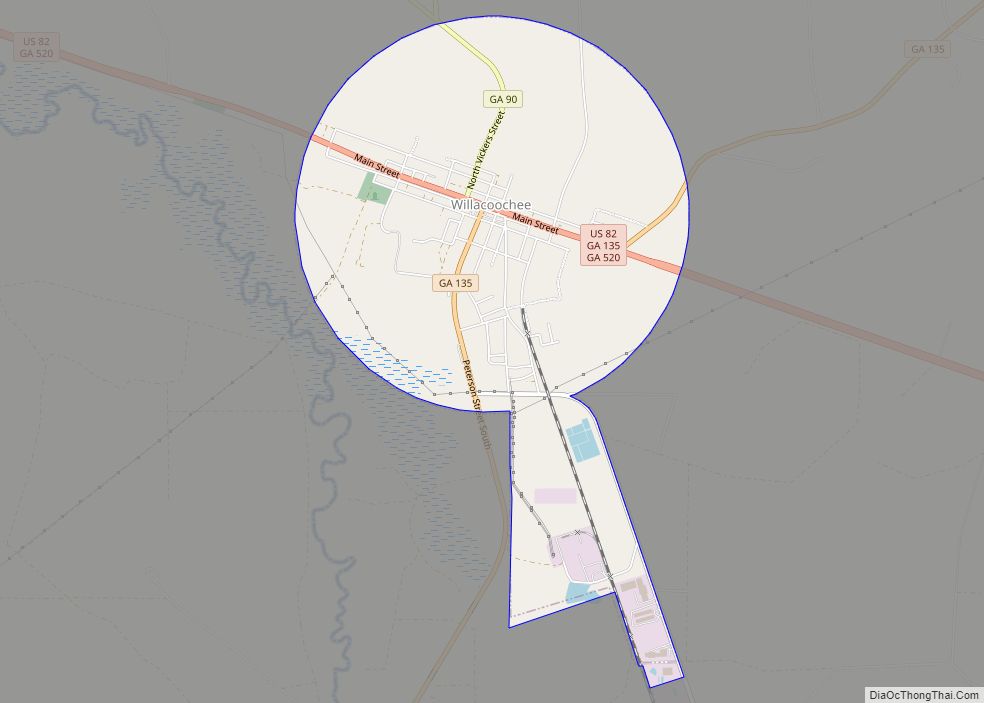
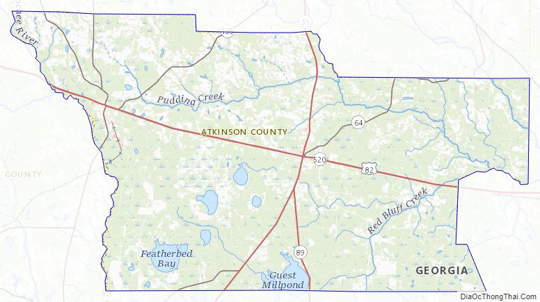
The vast majority of Atkinson County is located in the Satilla River sub-basin of the St. Marys-Satilla River basin. The entire narrow western border area, in a line parallel to the western border and running through Willacoochee, is located in the Alapaha River sub-basin of the Suwannee River basin. A small southeastern corner of the county is located in the Upper Suwannee River sub-basin of the same Suwannee River basin.
Major highways
- U.S. Route 82
- U.S. Route 221
- U.S. Route 441
- State Route 31
- State Route 64
- State Route 89
- State Route 90
- State Route 135
- State Route 520
Adjacent counties
- Coffee County – north
- Ware County – east
- Clinch County – south
- Lanier County – southwest
- Berrien County – west
Atkinson County Topographic Map
Atkinson County Satellite Map
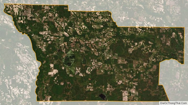
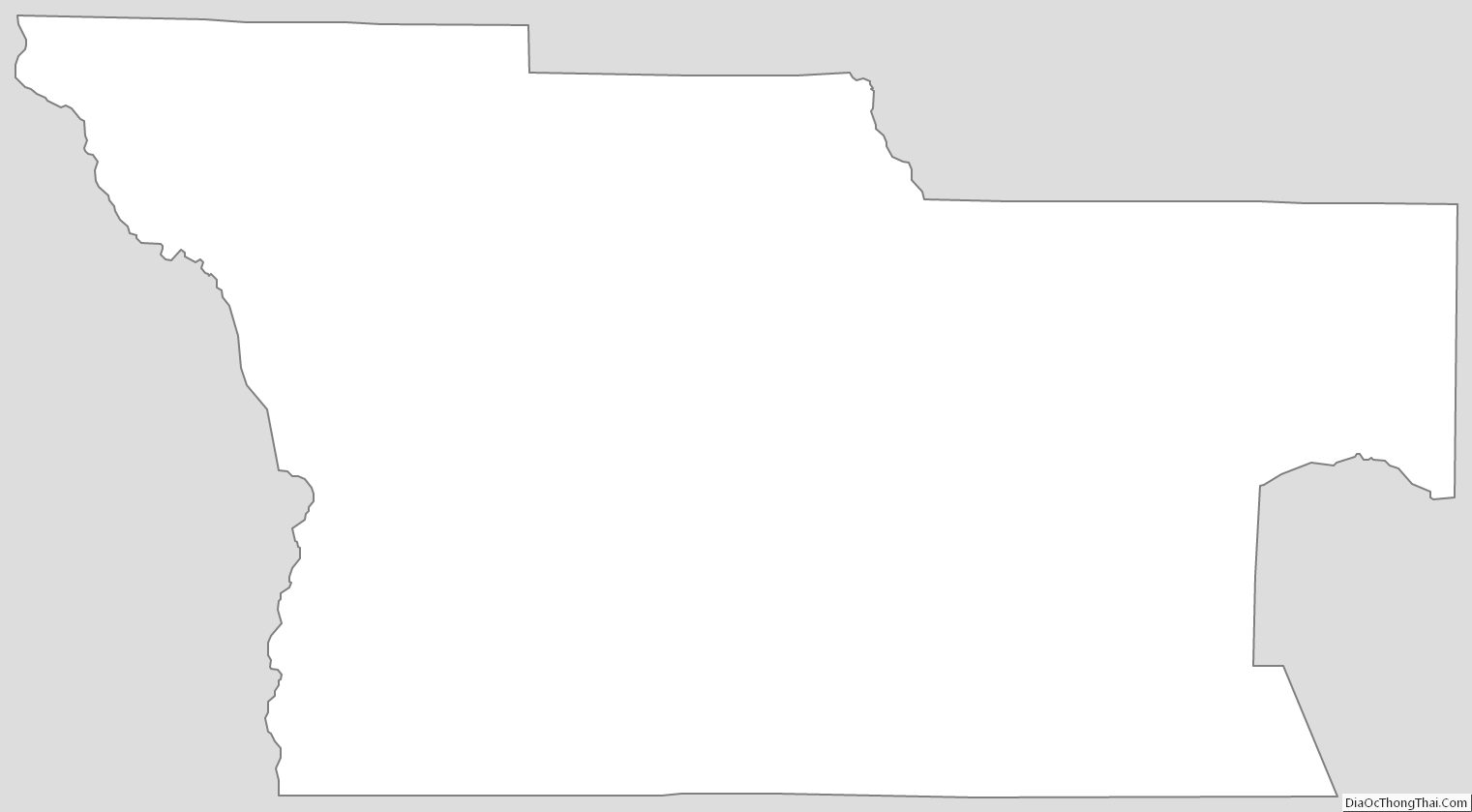
Atkinson County Outline Map