Bingham County is a county in the U.S. state of Idaho. As of the 2020 United States Census, the population was 47,992. The county seat and largest city is Blackfoot.
Bingham County comprises the Blackfoot, ID Micropolitan Statistical Area, which is included in the Idaho Falls–Rexburg-Blackfoot, ID Combined Statistical Area.
| Name: | Bingham County |
|---|---|
| FIPS code: | 16-011 |
| State: | Idaho |
| Founded: | January 13, 1885 |
| Named for: | Henry H. Bingham |
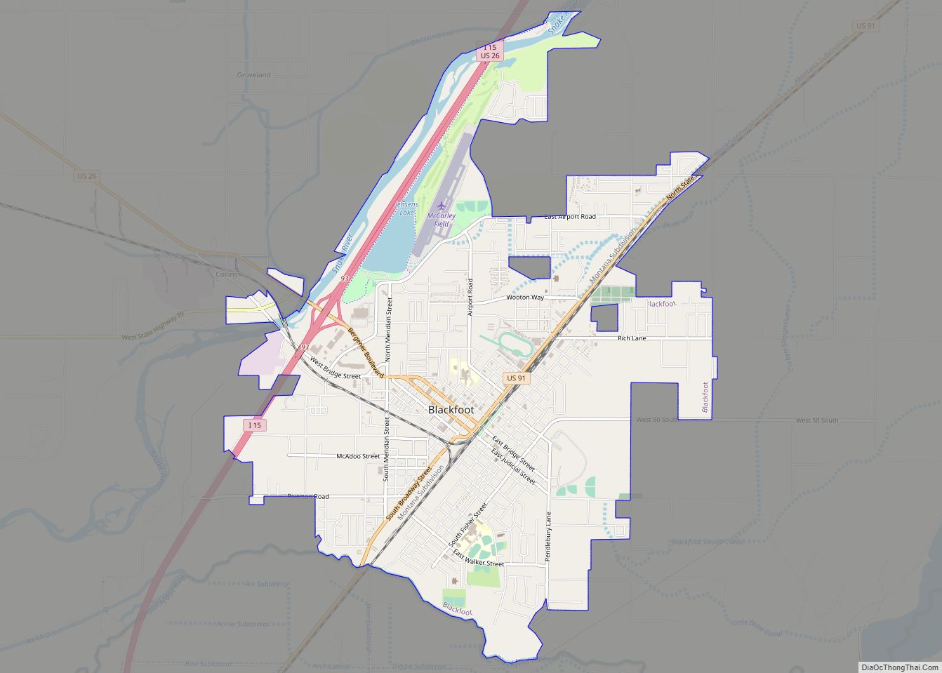
| Seat: | Blackfoot |
| Largest city: | Blackfoot |
| Total Area: | 2,120 sq mi (5,500 km²) |
| Land Area: | 2,094 sq mi (5,420 km²) |
| Total Population: | 47,992 |
| Population Density: | 23/sq mi (9/km²) |
| Time zone: | UTC−7 (Mountain) |
| Summer Time Zone (DST): | UTC−6 (MDT) |
| Website: | www.co.bingham.id.us |
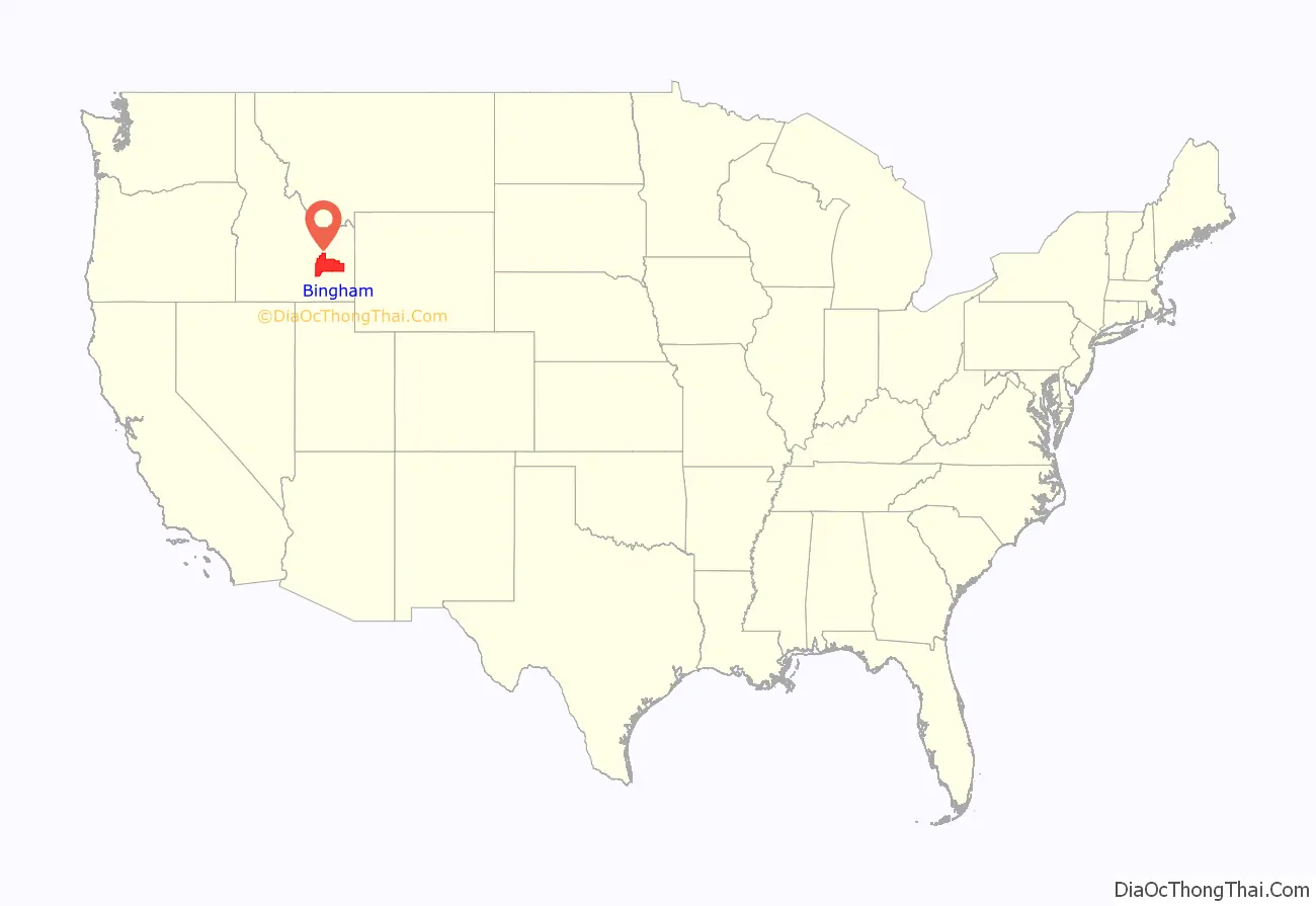
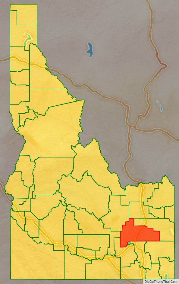
Bingham County location map. Where is Bingham County?
History
Bingham County was created January 13, 1885. It was named for Henry H. Bingham, a congressman from Pennsylvania and friend of William Bunn, Idaho’s Territorial Governor. The county was formed from Oneida County and was later partitioned itself to form Bannock (1893), Fremont (1893), Bonneville (1911), Power (1913), and Butte (1917) counties.
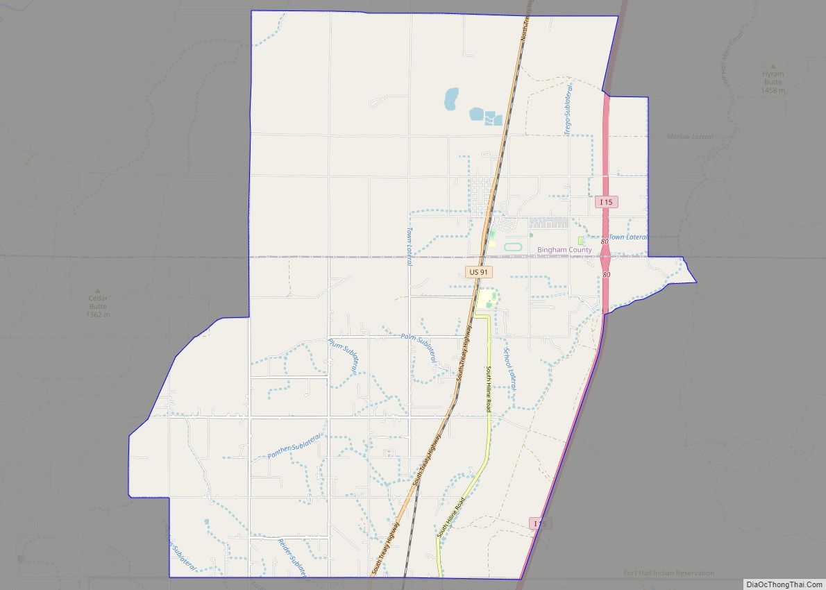
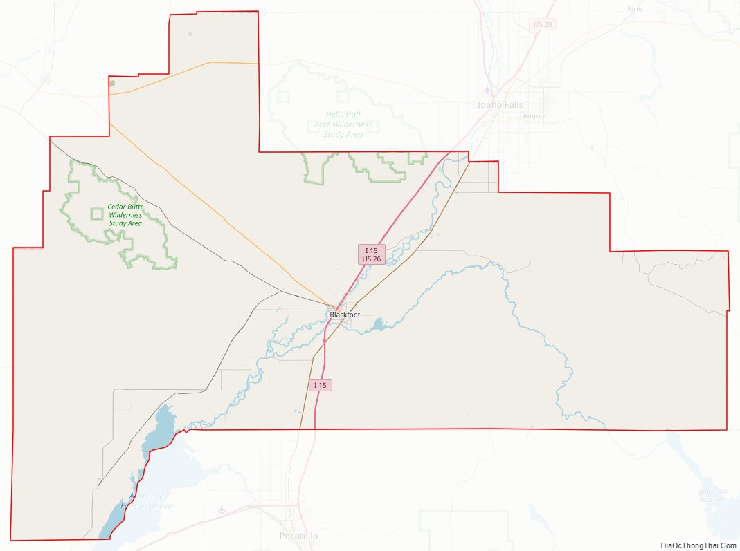
Bingham County Road Map
Geography
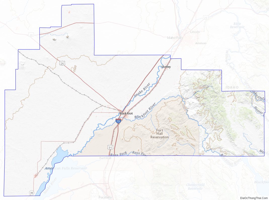
According to the U.S. Census Bureau, the county has a total area of 2,120 square miles (5,500 km), of which 2,094 square miles (5,420 km) is land and 26 square miles (67 km) (1.2%) is water. The Snake River flows southwest through the middle of Bingham County; at the county’s southwest corner the river flows into the American Falls Reservoir. At the SE county corner is the Blackfoot Reservoir and Dam, impounding waters of the Blackfoot River. Outflow from the Blackfoot Dam flows northwesterly through the lower part of Bingham County, discharging into the Snake River.
Smaller buttes called the East Butte and the Middle Butte located in the Snake River Plain are visible south of US Route 20.
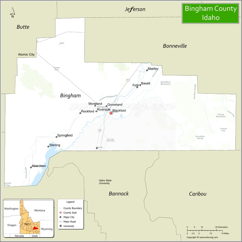
Adjacent counties
- Jefferson County – north
- Bonneville County – east
- Caribou County – southeast
- Bannock County – south
- Power County – southwest
- Blaine County – west
- Butte County – northwest
Highways
- – Interstate 15
- – US 20
- – US 26
- – US 91
- – SH-39
Bingham County Topographic Map
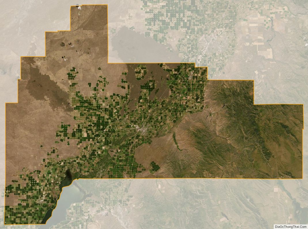
Bingham County Satellite Map
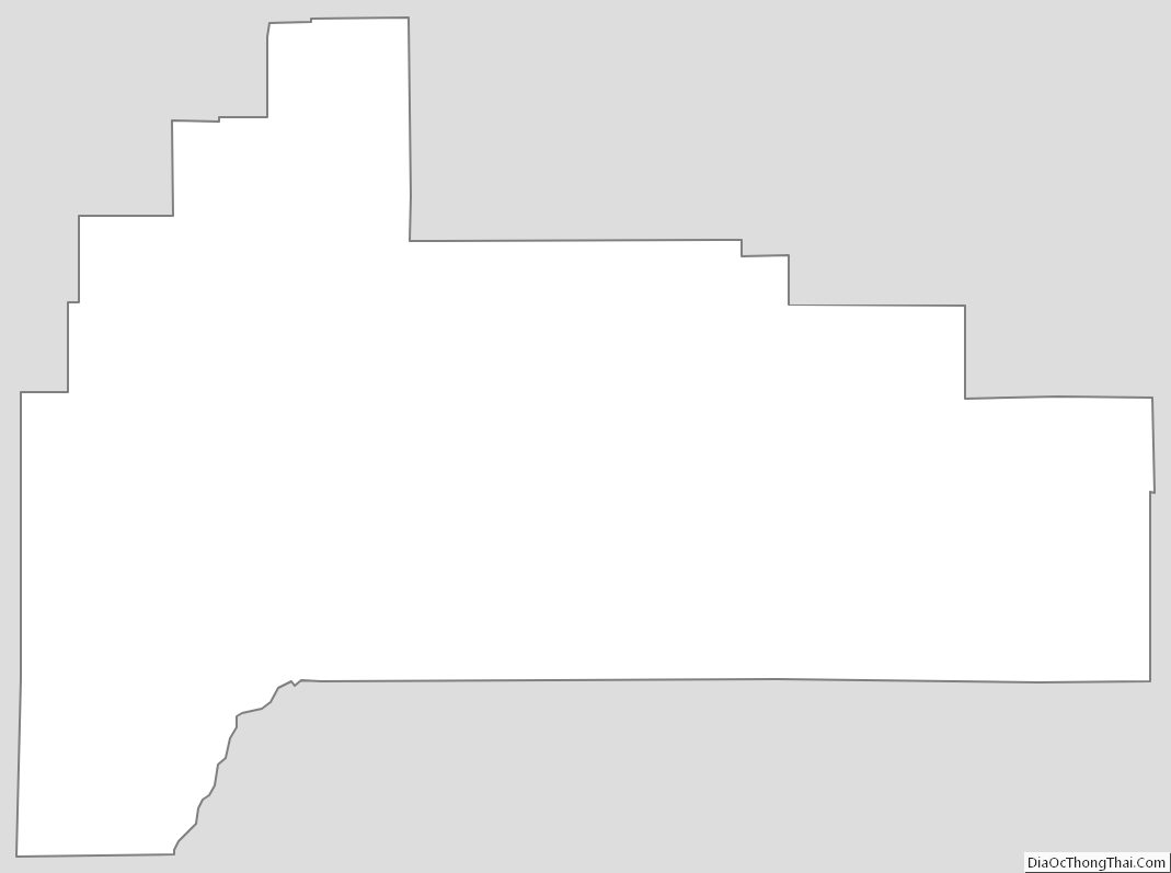
Bingham County Outline Map