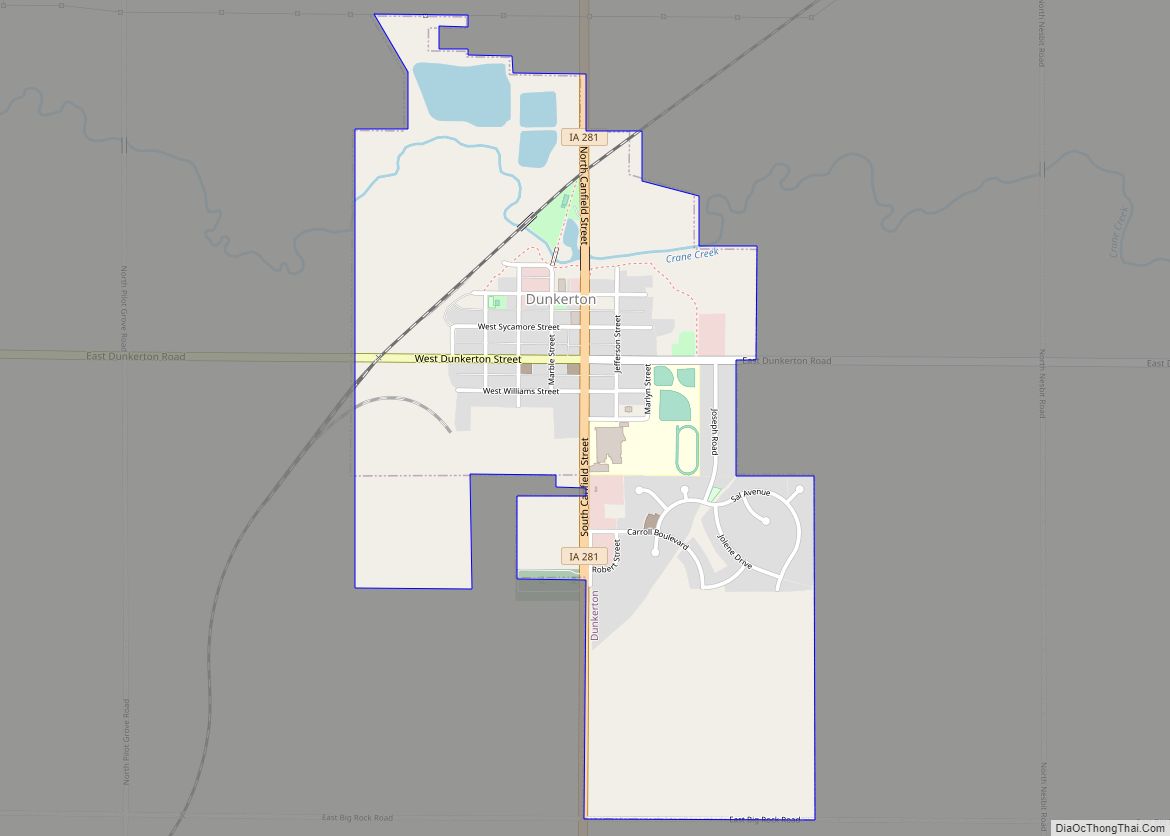
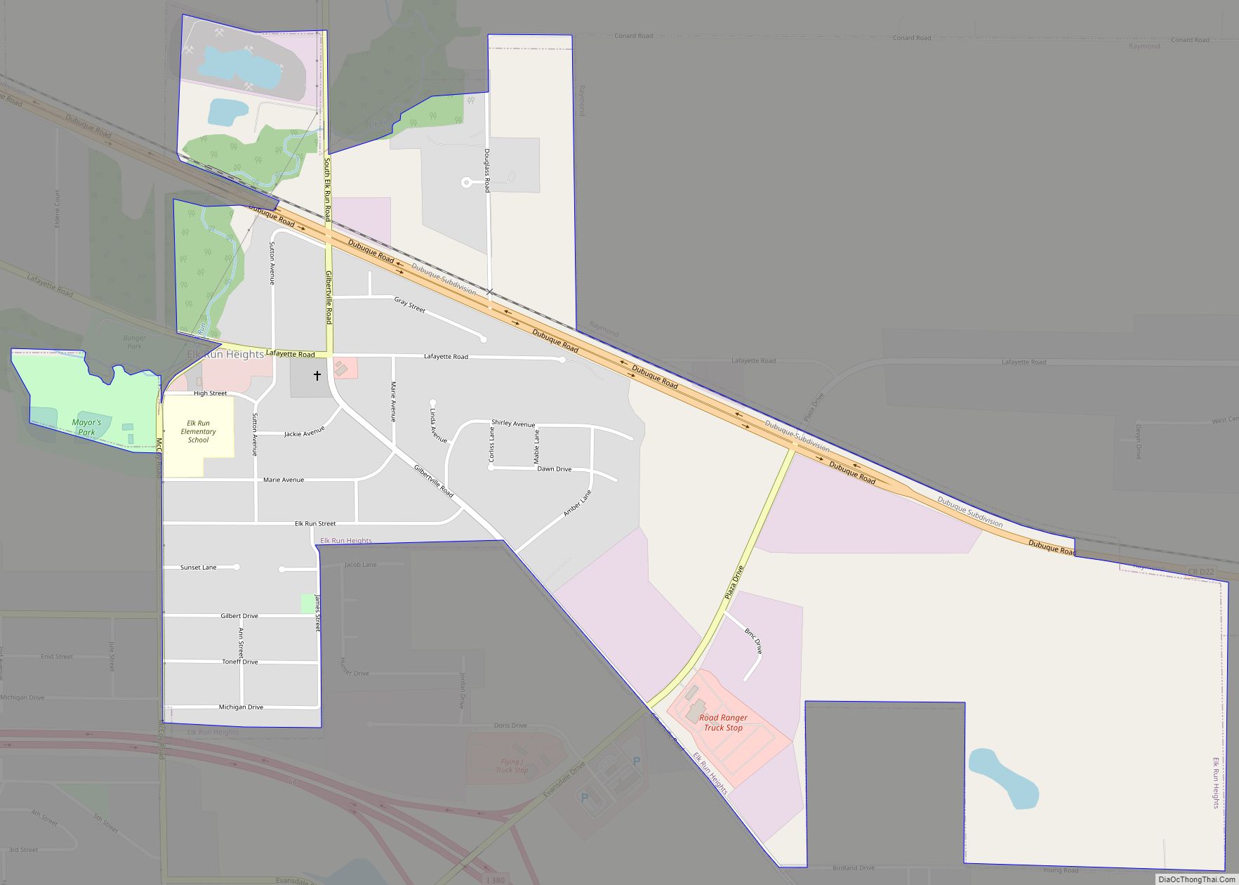
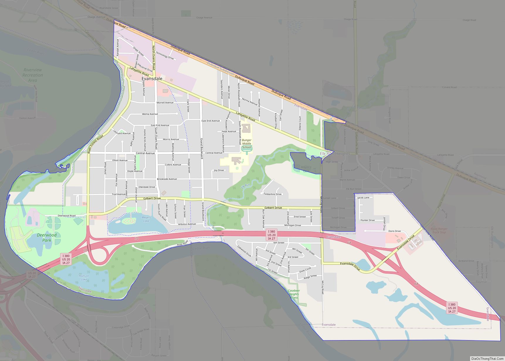
Black Hawk County is a county in the northeastern part of U.S. state of Iowa. As of the 2020 census, the population was 131,144, making it Iowa’s fifth-most populous county. The county seat is Waterloo.
Black Hawk County is part of the Waterloo-Cedar Falls, IA Metropolitan Statistical Area.
| Name: | Black Hawk County |
|---|---|
| FIPS code: | 19-013 |
| State: | Iowa |
| Founded: | 1843 |
| Named for: | Black Hawk |
| Seat: | Waterloo |
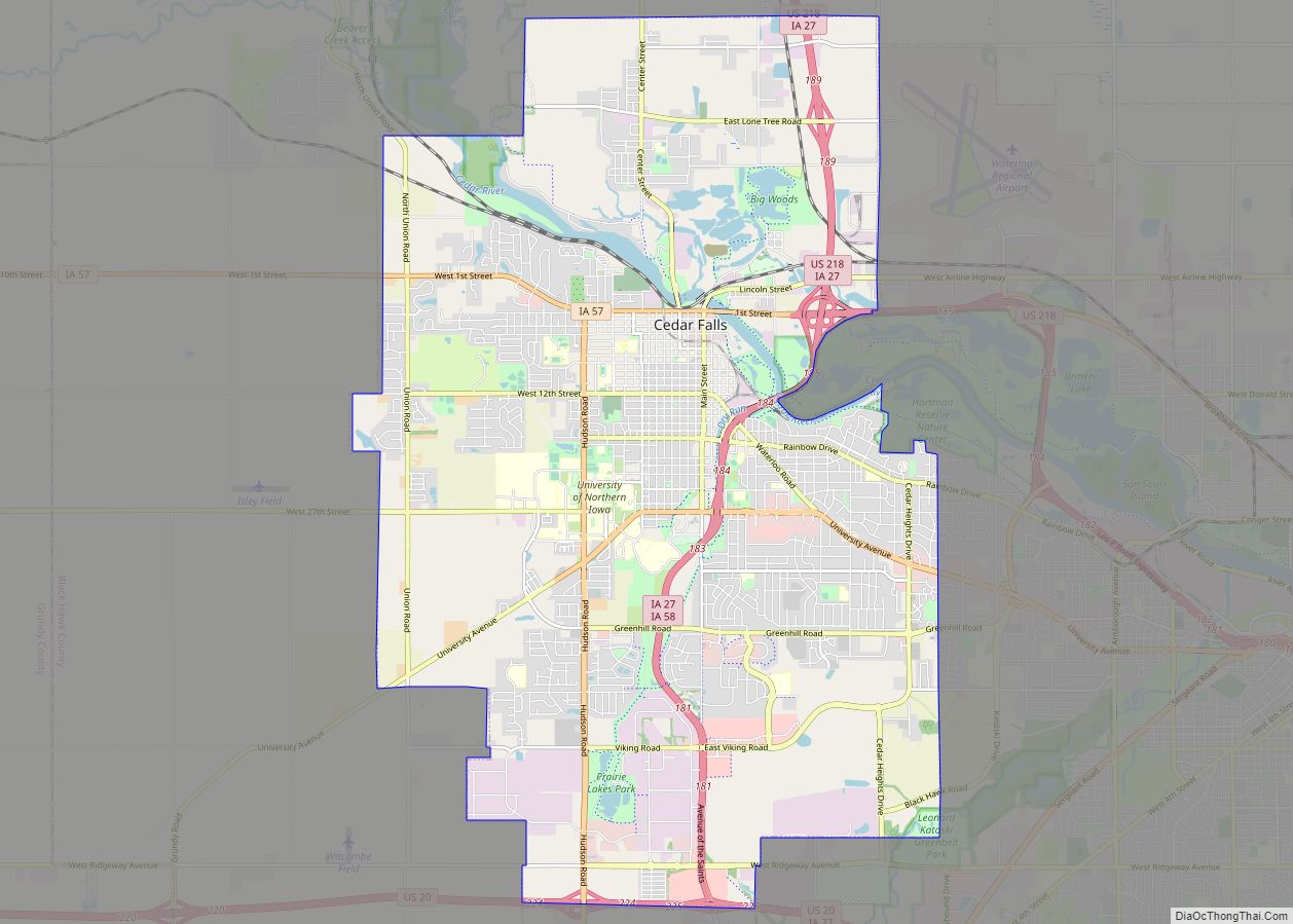
| Largest city: | Waterloo |
| Total Area: | 573 sq mi (1,480 km²) |
| Land Area: | 566 sq mi (1,470 km²) |
| Total Population: | 131,144 |
| Population Density: | 230/sq mi (88/km²) |
| Time zone: | UTC−6 (Central) |
| Summer Time Zone (DST): | UTC−5 (CDT) |
| Website: | www.blackhawkcounty.iowa.gov |
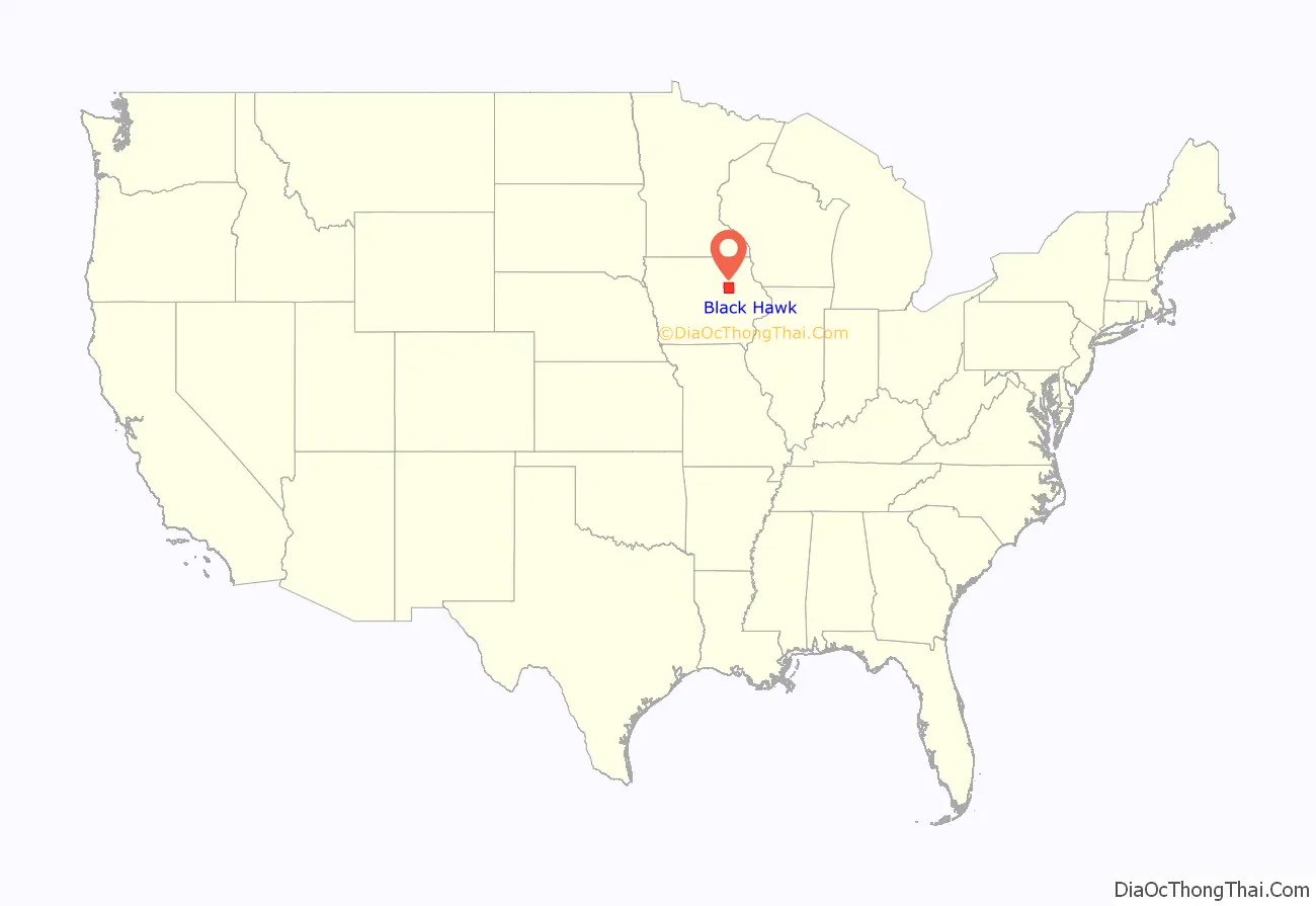
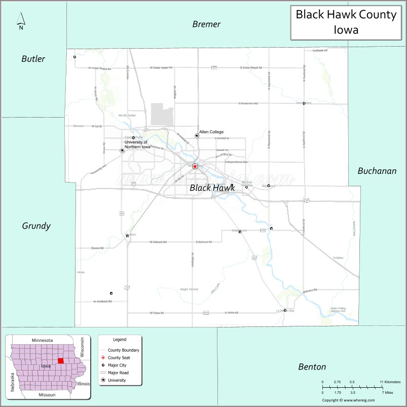
Black Hawk County location map. Where is Black Hawk County?
History
Black Hawk County was formed on February 17, 1853, from sections of Buchanan County. It was named after Black Hawk, a Sauk leader during the 1832 Black Hawk War.
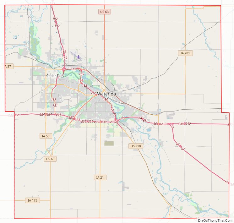
Black Hawk County Road Map
Geography
According to the U.S. Census Bureau, the county has an area of 573 square miles (1,480 km), of which 566 square miles (1,470 km) is land and 6.9 square miles (18 km) (1.2%) is water.
The Cedar River roughly divides the county in half from the northwest to the southeast corner. The land is mostly level since much of it is on the river’s flood plain.
Major highways
- Interstate 380
- U.S. Highway 20
- U.S. Highway 63
- U.S. Highway 218
- Iowa Highway 21
- Iowa Highway 27
- Iowa Highway 57
- Iowa Highway 58
- Iowa Highway 175
- Iowa Highway 281
Transit
- Metropolitan Transit Authority of Black Hawk County
- List of intercity bus stops in Iowa
Adjacent counties
- Bremer County (north)
- Buchanan County (east)
- Benton County (southeast)
- Tama County (southwest)
- Grundy County (west)
- Butler County (northwest)
- Fayette County (northeast)
Black Hawk County Topographic Map
Black Hawk County Satellite Map

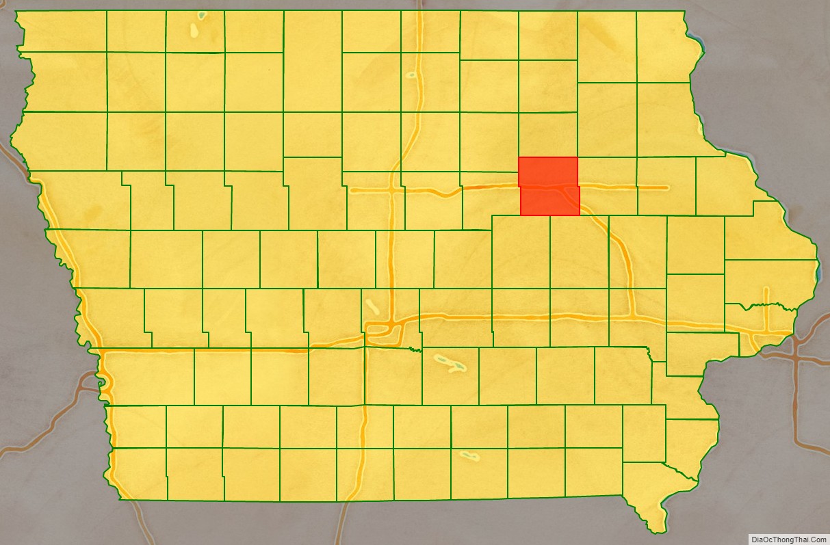
Black Hawk County Outline Map