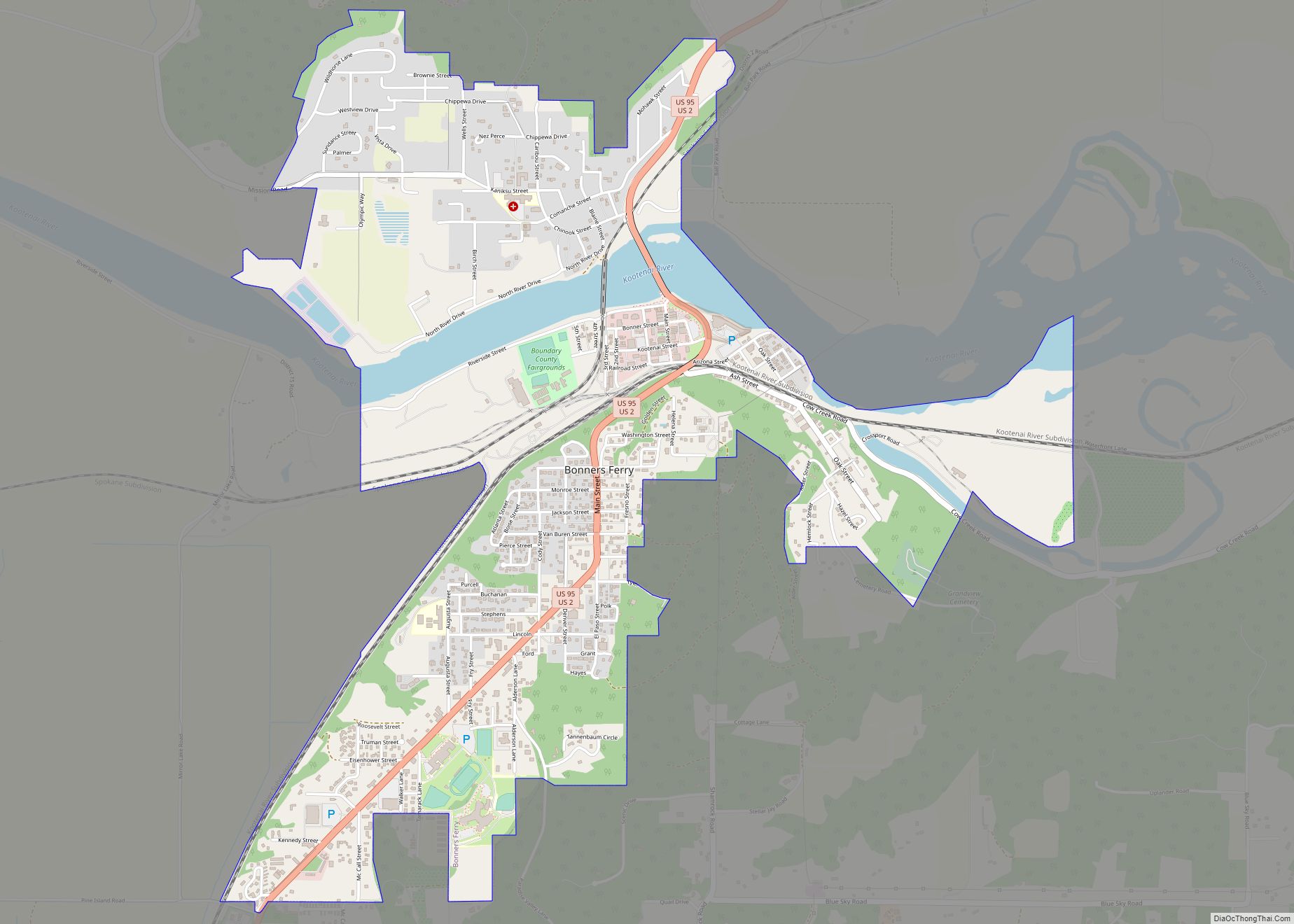
Boundary County is the northernmost county of the U.S. state of Idaho. As of the 2020 census, the population was 12,056. The county seat and largest city is Bonners Ferry.
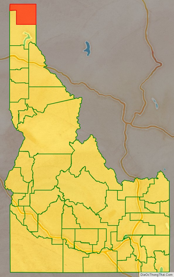
Boundary County was created by the Idaho Legislature on January 23, 1915. It is so named because it borders Canada, and is therefore the only county in Idaho with an international border. It is also only one of three counties in the United States that borders two states and a foreign country, the others being Coös County, New Hampshire and Erie County, Pennsylvania.
| Name: | Boundary County |
|---|---|
| FIPS code: | 16-021 |
| State: | Idaho |
| Founded: | January 23, 1915 |
| Named for: | Canada/U.S. Border |
| Seat: | Bonners Ferry |
| Largest city: | Bonners Ferry |
| Total Area: | 1,278 sq mi (3,310 km²) |
| Land Area: | 1,269 sq mi (3,290 km²) |
| Total Population: | 12,056 |
| Population Density: | 9.4/sq mi (3.6/km²) |
| Time zone: | UTC−8 (Pacific) |
| Summer Time Zone (DST): | UTC−7 (PDT) |
| Website: | boundarycountyid.org |
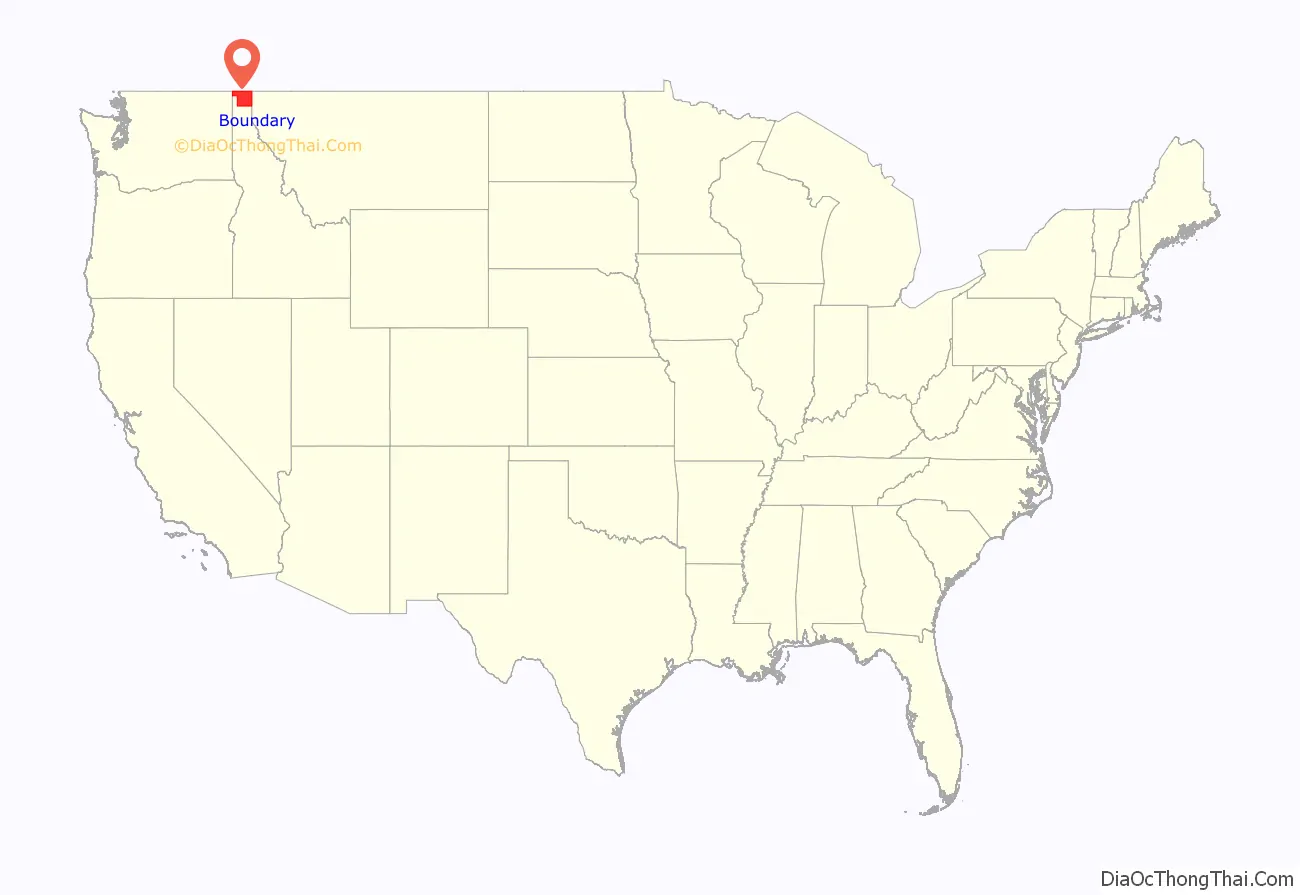
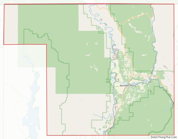
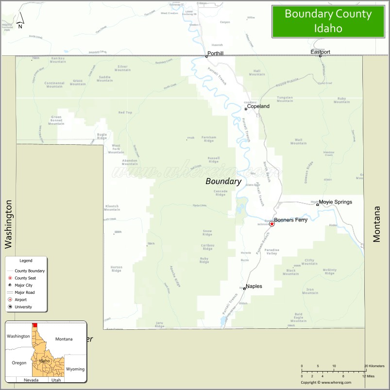
Boundary County location map. Where is Boundary County?
History
Boundary County was formed on January 23, 1915, from Bonner County. It was named Boundary County because it lies on the border of Canada, Washington and Montana.
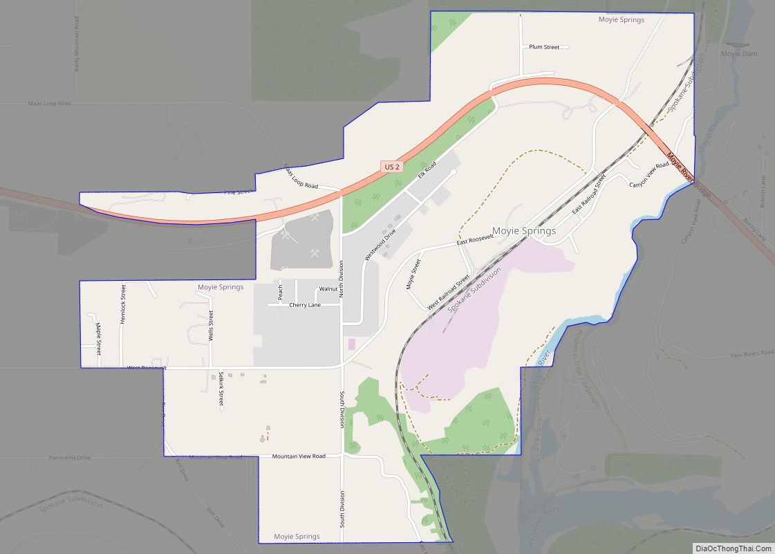
Boundary County has seven election precincts: Bonners Ferry, Copeland, Kootenai, Moyie, Naples, North Bonners Ferry, and Valley View. All contain part of Bonners Ferry City except Copeland, Moyie, and Naples precincts. Moyie Springs was incorporated in 1947.
Settlement of the area started with the establishment of Bonners Ferry on the Kootenai River in 1864. Settlement was limited to the ferry operation until about 1890. The town of Bonners Ferry was established in 1893. At that point settlement was still sparse with small ranching and mining operations, but an expanding timber economy. By 1900, other areas started to develop with the Boulder (now Kootenai), Boundary (now Copeland), and Naples precincts first listed in the U.S. Census of that year. The Moyie precinct first appeared in the 1910 census.
In 1980, convicted spy Christopher John Boyce found refuge in Boundary County, for a few months, after his escape from the Lompoc Federal Correctional Complex. He stayed at the home of Gloria Ann White. Boyce sustained himself during his stay with a series of bank robberies in the surrounding area, allegedly with technical assistance from White.
In 1992, Boundary County was the scene of the infamous Ruby Ridge siege by 350–400 armed federal agents against Randy Weaver and his family.
Boundary County Road Map
Geography
According to the U.S. Census Bureau, the county has a total area of 1,278 square miles (3,310 km), of which 1,269 square miles (3,290 km) is land and 9.3 square miles (24 km) (0.7%) is water.
Adjacent counties
- Lincoln County, Montana – east/Mountain Time Border
- Bonner County – south
- Pend Oreille County, Washington – west
- Regional District of Central Kootenay, British Columbia – north
National protected areas
- Pacific Northwest National Scenic Trail (part)
- Kaniksu National Forest (part)
- Kootenai National Forest (part)
- Kootenai National Wildlife Refuge
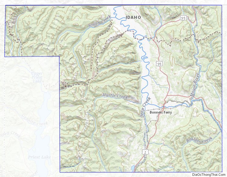
Boundary County Topographic Map
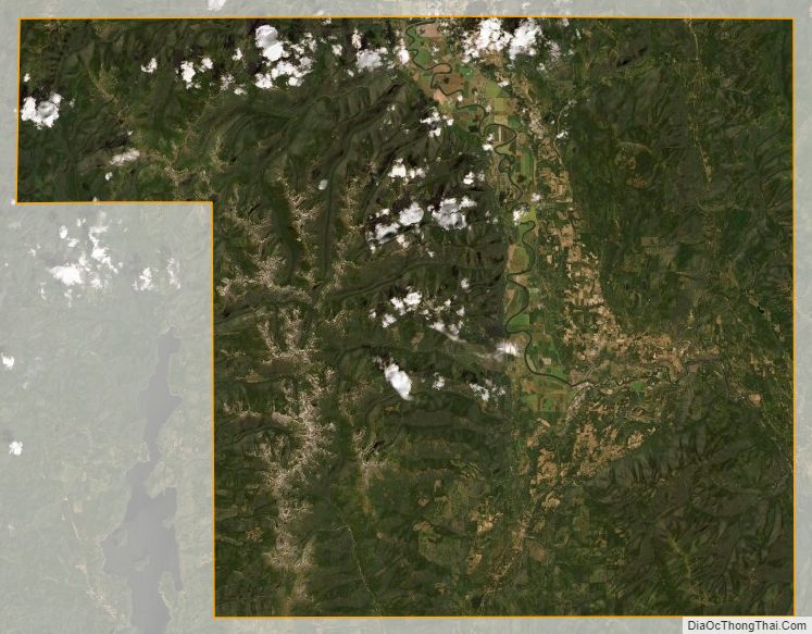
Boundary County Satellite Map
Boundary County Outline Map