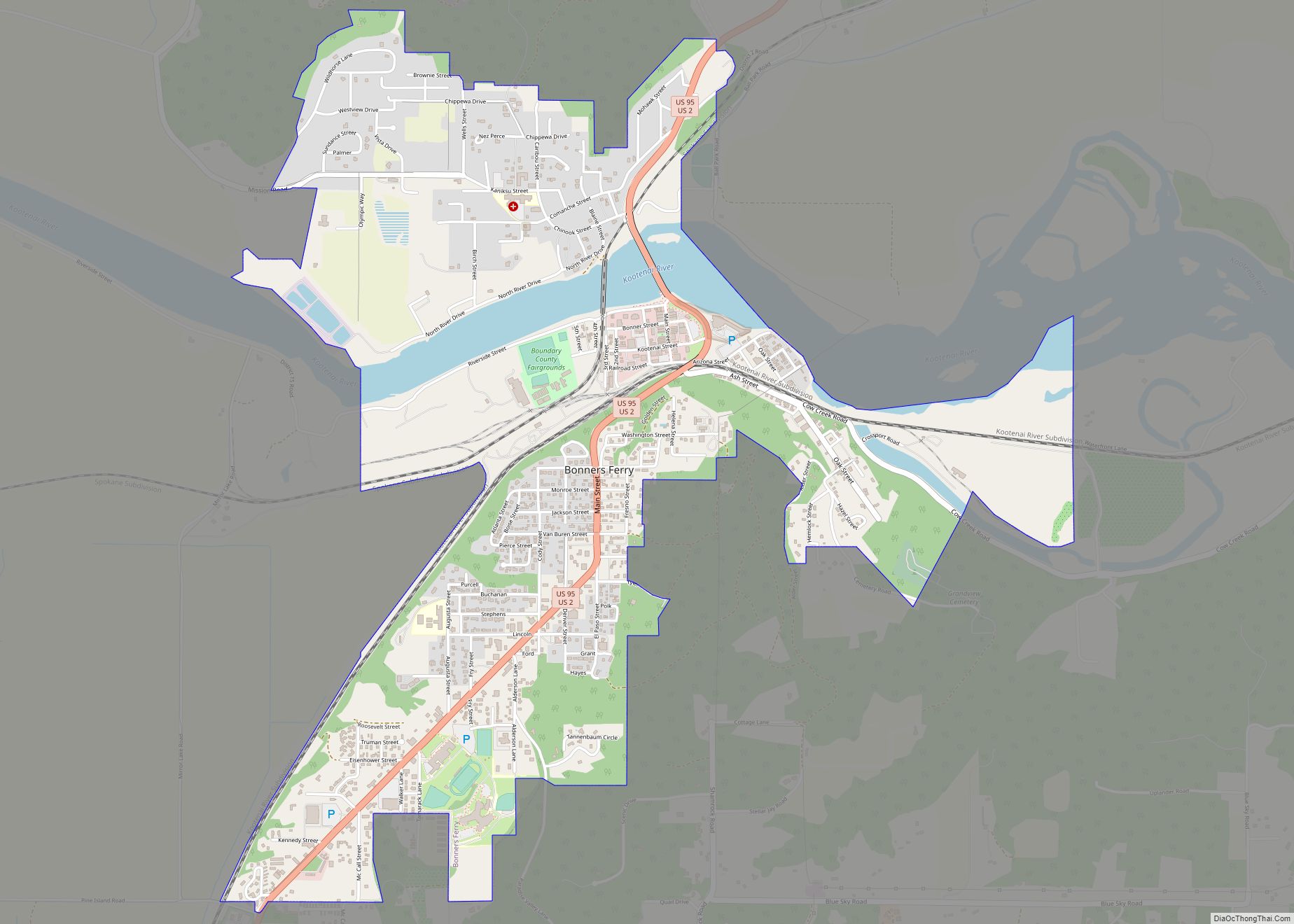
Bonners Ferry (Kutenai language: ʔaq̓anqmi) is the largest city and the county seat of Boundary County, Idaho, United States. The population was 2,543 at the 2010 census.
| Name: | Bonners Ferry city |
|---|---|
| LSAD Code: | 25 |
| LSAD Description: | city (suffix) |
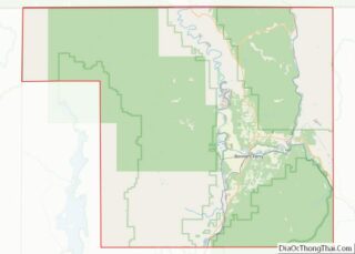
| State: | Idaho |
| County: | Boundary County |
| Elevation: | 1,896 ft (578 m) |
| Total Area: | 2.51 sq mi (6.50 km²) |
| Land Area: | 2.35 sq mi (6.10 km²) |
| Water Area: | 0.15 sq mi (0.40 km²) |
| Total Population: | 2,543 |
| Population Density: | 1,120.22/sq mi (432.59/km²) |
| ZIP code: | 83805 |
| FIPS code: | 1609370 |
| GNISfeature ID: | 0396163 |
| Website: | bonnersferry.id.gov |
Online Interactive Map
Click on ![]() to view map in "full screen" mode.
to view map in "full screen" mode.
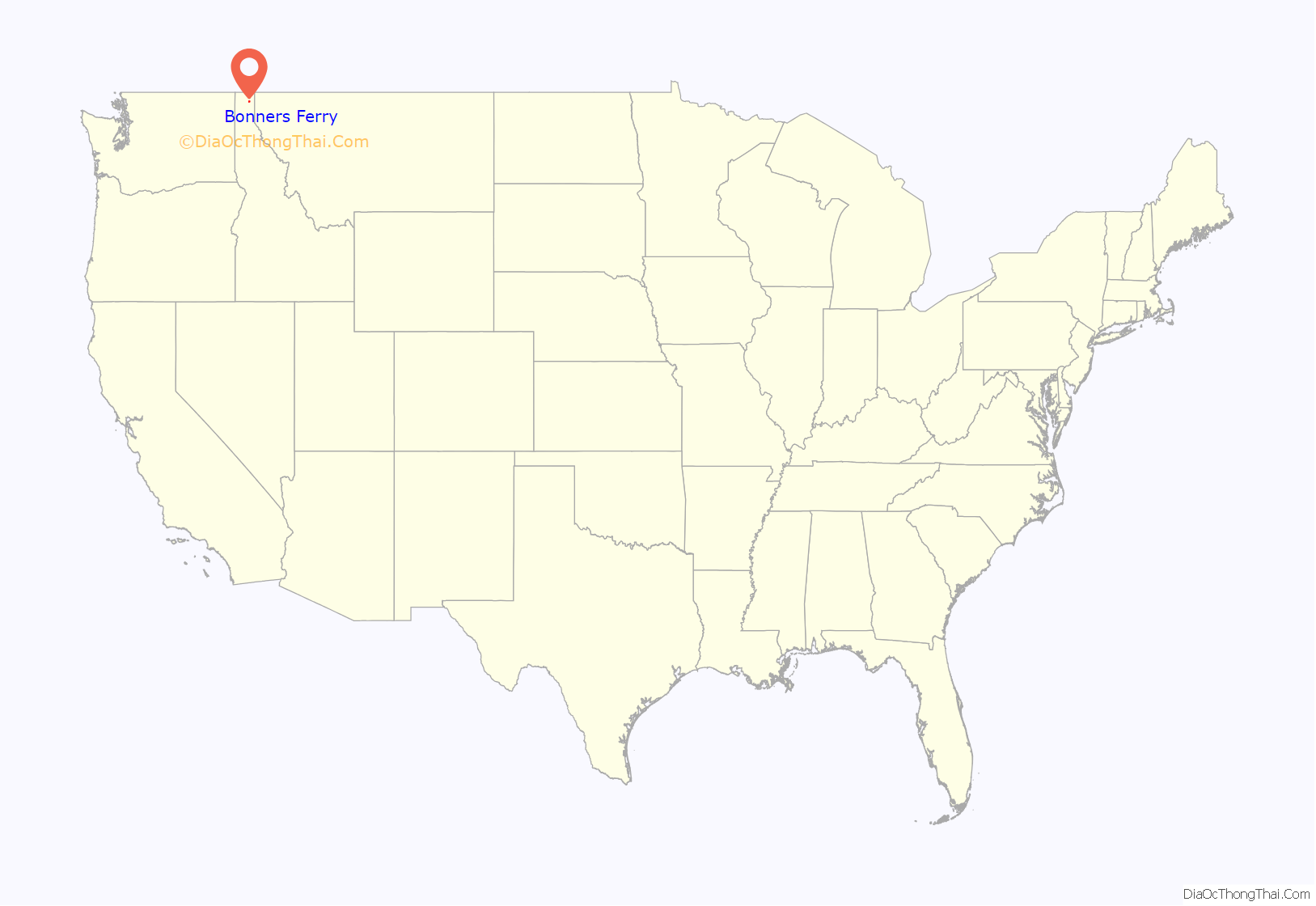
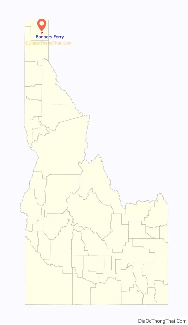
Bonners Ferry location map. Where is Bonners Ferry city?
History
When gold was discovered in the East Kootenays of British Columbia in 1863, thousands of prospectors from all over the West surged northward over a route that became known as the Wildhorse Trail. Edwin Bonner, a merchant from Walla Walla, Washington, established a ferry in 1864 where the trail crossed the broad Kootenai River. In 1875, Richard Fry, and his Sinixt wife, Justine Su-steel Fry, leased the business, but the location retained the name of the original founder and later became the town of Bonners Ferry.
Before the gold rush, only a few visitors had come to the region; one of the first was explorer David Thompson, a cartographer for the North West Company. Thompson and four fellow fur traders arrived in 1808 to trade with the Lower Kootenais. The local natives gave Thompson’s party dried fish and moss bread. Thompson returned the next year and established a trading post on Lake Pend Oreille. He was followed in 1846 by Jesuit Priest Father DeSmet, a missionary to the Kootenai Tribe.
The Oregon Question was settled by the Oregon Treaty of 1846 which established the 49th Parallel north as the boundary between the US and British North America. Government surveyors of the Boundary Commission came in 1858 to establish the border between the United States and British Columbia.
Bonners Ferry in the 1880s flourished due to the mines in the north. Entering service in 1883 the Norwegian-built steamer Midge transported passengers and freight between Bonners Ferry and British Columbia for 25 years. In 1892 The Great Northern Railway was built, followed by the Spokane International and the Kootenai Valley lines.
The village of Bonners Ferry was formally established in 1893, along the south bank of the Kootenai River. Scattered along the valley and benchland were a few ranches and homesteads. Numerous mines were developed in the nearby mountains, including the Continental Mine in the Selkirks. The lumber industry also grew rapidly. Bonners Ferry, perched on stilts to avoid the inevitable spring floods, appeared to be a boom town.
Moving into the 20th century, the town became the center of a lumbering and farming community. The valley land was drained, levees were constructed and farms were cleared on the benches. The rich Kootenai Valley became known as the “Nile of the North,” while the Bonners Ferry Lumber Company grew to be one of the world’s largest lumber mills. The downtown took shape as brick buildings were constructed, replacing those on stilts. Completion of the Libby Dam in 1975 lessened the threat of serious flooding. Today, much of Main Street dates from this initial period of solid, permanent construction.
On September 20, 1974, the Kootenai Tribe, headed by chairwoman Amy Trice, declared war on the United States government. Their first act was to post soldiers on each end of the highway that runs through the town who would ask people to pay a toll to drive through what had been the tribe’s aboriginal land. The money would be used to house and care for elderly tribal members. Most tribes in the United States are forbidden to declare war on the U.S. government because of treaties, but the Kootenai Tribe never signed a treaty. The dispute resulted in the concession by the United States government and a land grant of 10.5 acres (42,000 m) that is now the Kootenai Reservation.
Bonners Ferry is 8 miles (13 km) from the site of the Ruby Ridge confrontation and siege in 1992, which occurred just outside Naples, Idaho.
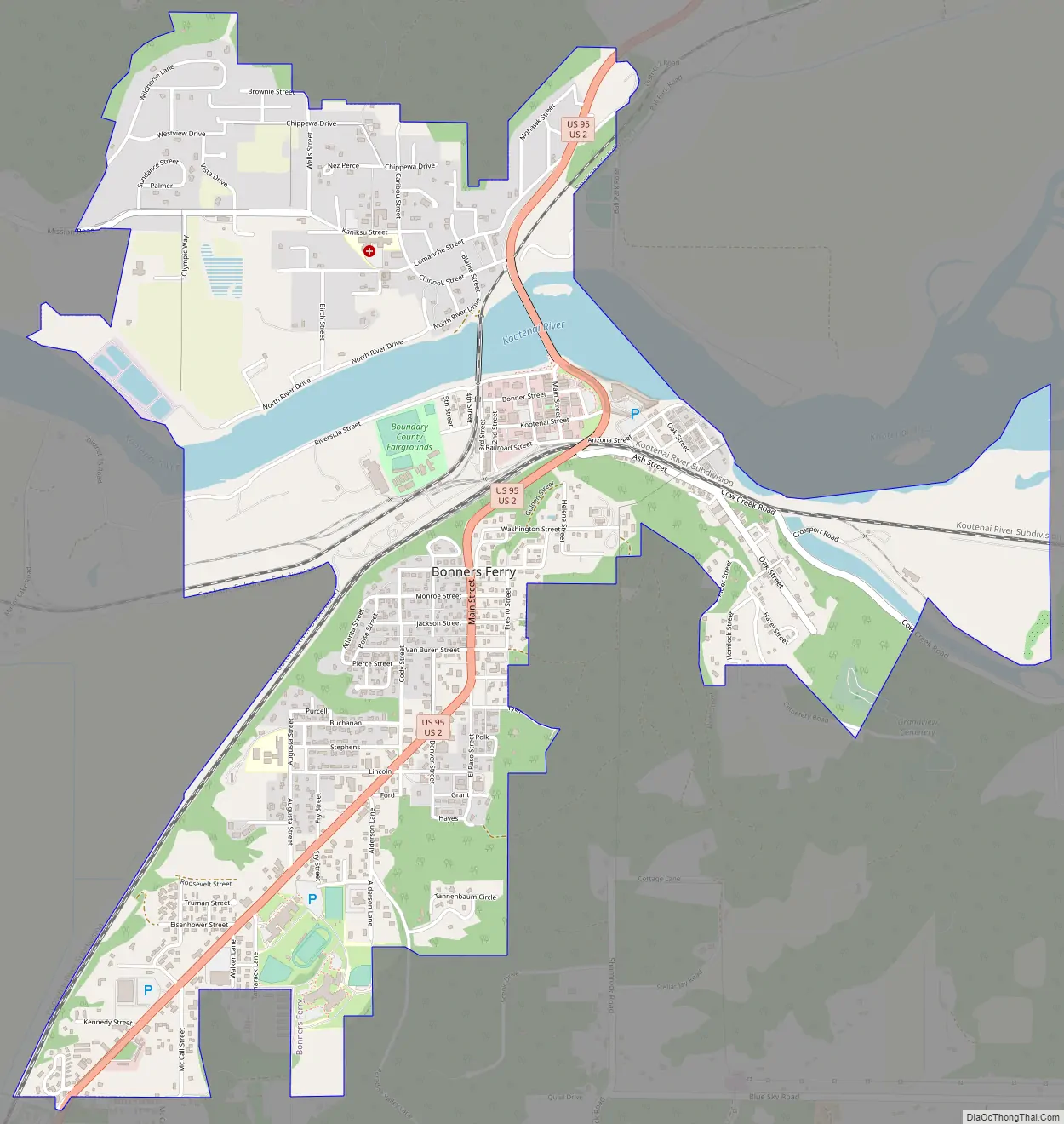
Bonners Ferry Road Map
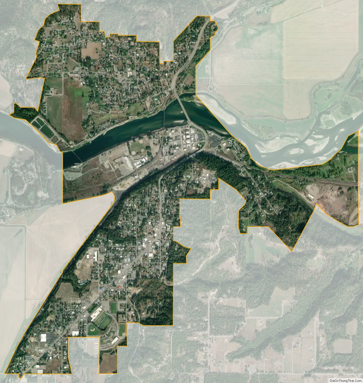
Bonners Ferry city Satellite Map
Geography
Bonners Ferry is located 27 miles (43.5 km) south of the Canada-United States border at 48°41′32″N 116°19′3″W / 48.69222°N 116.31750°W / 48.69222; -116.31750 (48.692110, −116.317626), at an altitude of 1,896 feet (578 m). According to the United States Census Bureau, the city has a total area of 2.61 square miles (6.76 km), of which 2.44 square miles (6.32 km) is land and 0.17 square miles (0.44 km) is water.
Bonners Ferry has a humid continental climate (Köppen Dfb/Dsb) with cold, snowy winters and dry summers with hot days and cool nights. It is almost warm enough to be classed as a Mediterranean climate or oceanic climate, and snow depths above 10 inches (0.25 m) occur on 23.6 days on average.
See also
Map of Idaho State and its subdivision:- Ada
- Adams
- Bannock
- Bear Lake
- Benewah
- Bingham
- Blaine
- Boise
- Bonner
- Bonneville
- Boundary
- Butte
- Camas
- Canyon
- Caribou
- Cassia
- Clark
- Clearwater
- Custer
- Elmore
- Franklin
- Fremont
- Gem
- Gooding
- Idaho
- Jefferson
- Jerome
- Kootenai
- Latah
- Lemhi
- Lewis
- Lincoln
- Madison
- Minidoka
- Nez Perce
- Oneida
- Owyhee
- Payette
- Power
- Shoshone
- Teton
- Twin Falls
- Valley
- Washington
- Alabama
- Alaska
- Arizona
- Arkansas
- California
- Colorado
- Connecticut
- Delaware
- District of Columbia
- Florida
- Georgia
- Hawaii
- Idaho
- Illinois
- Indiana
- Iowa
- Kansas
- Kentucky
- Louisiana
- Maine
- Maryland
- Massachusetts
- Michigan
- Minnesota
- Mississippi
- Missouri
- Montana
- Nebraska
- Nevada
- New Hampshire
- New Jersey
- New Mexico
- New York
- North Carolina
- North Dakota
- Ohio
- Oklahoma
- Oregon
- Pennsylvania
- Rhode Island
- South Carolina
- South Dakota
- Tennessee
- Texas
- Utah
- Vermont
- Virginia
- Washington
- West Virginia
- Wisconsin
- Wyoming