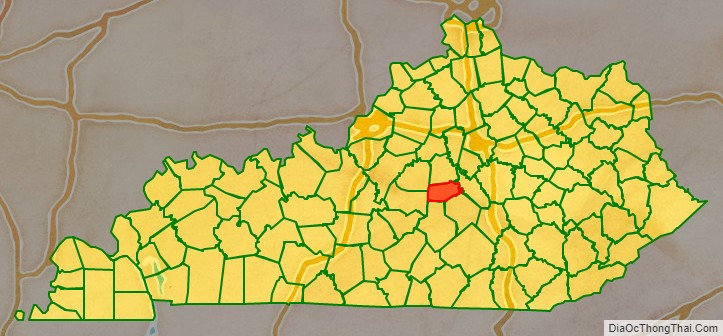
Boyle County is a county located in the central part of Kentucky. As of the 2020 census, the population was 30,614. Its county seat is Danville. The county was formed in 1842 and named for John Boyle (1774–1835), a U.S. Representative, chief justice of the Kentucky Court of Appeals , and later federal judge for the District of Kentucky, and is part of the Danville, KY Micropolitan Statistical Area.
| Name: | Boyle County |
|---|---|
| FIPS code: | 21-021 |
| State: | Kentucky |
| Founded: | 1842 |
| Named for: | John Boyle |
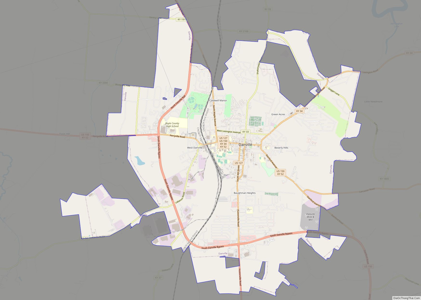
| Seat: | Danville |
| Largest city: | Danville |
| Total Area: | 183 sq mi (470 km²) |
| Land Area: | 180 sq mi (500 km²) |
| Total Population: | 30,614 |
| Population Density: | 158/sq mi (61/km²) |
| Time zone: | UTC−5 (Eastern) |
| Summer Time Zone (DST): | UTC−4 (EDT) |
| Website: | www.boyleky.com |
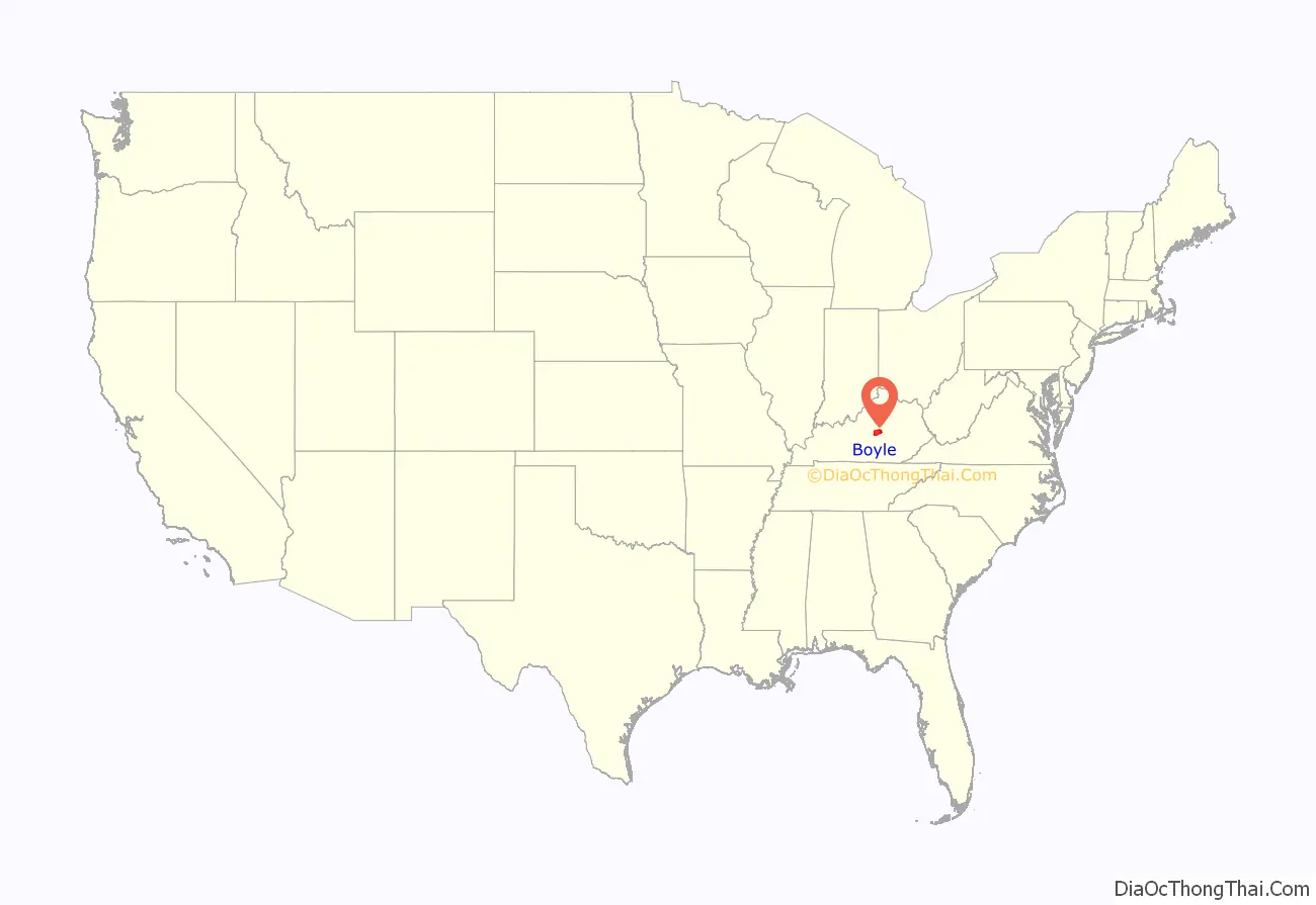
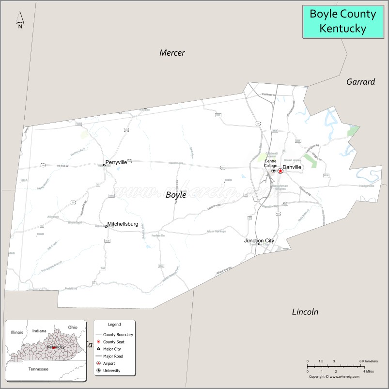
Boyle County location map. Where is Boyle County?
History
In 1820, a portion of Casey County, now south of KY Route 300, was annexed to Mercer County. This became part of Boyle County when Boyle County was formed on February 15, 1842, from sections of Lincoln County and Mercer County. It is named for John Boyle, Congressman, Chief Justice of the Kentucky Court of Appeals, and U.S. District Judge.
Associate Justice of the Supreme Court of the United States John Marshall Harlan, a supporter of civil rights and the sole dissenter in the Civil Rights Cases and Plessy v. Ferguson, was born in Boyle County in 1833.
A courthouse fire in 1860 resulted in the loss of some county records.
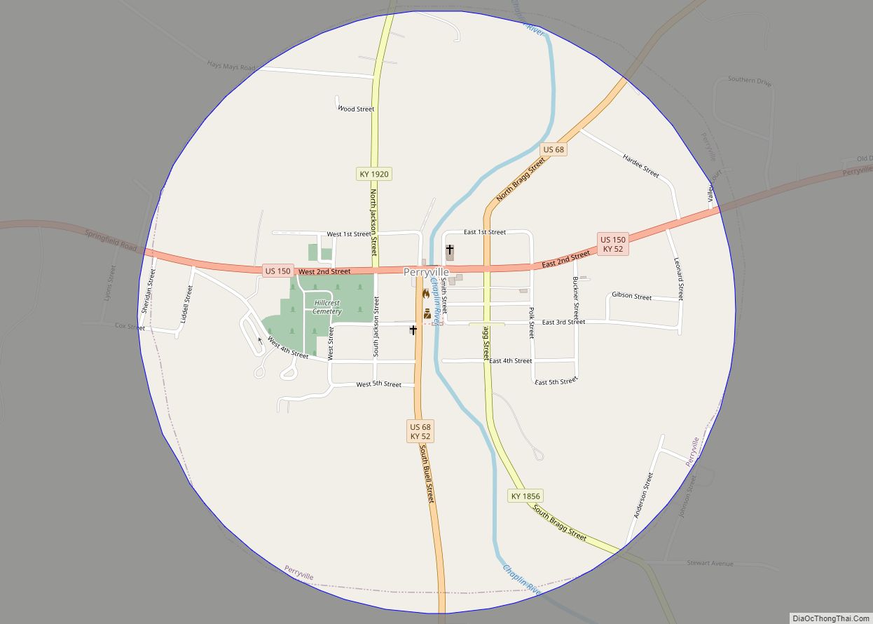
During the American Civil War, the Battle of Perryville took place here on October 8, 1862, fought between the Confederate Army of Mississippi and the Union Army of the Ohio. 7407 men fell in the battle.
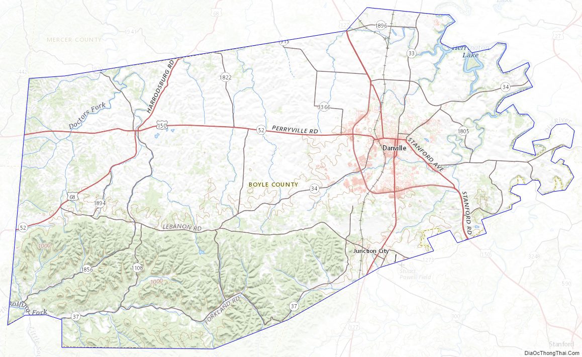
Boyle County Road Map
Geography
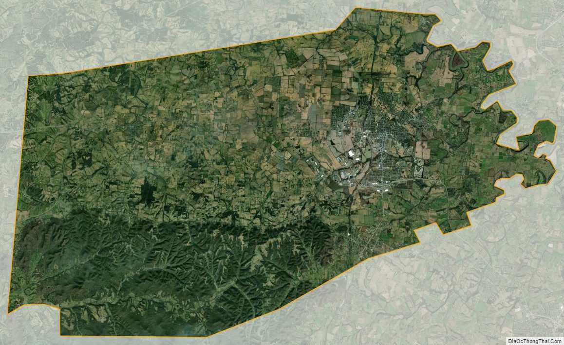
According to the United States Census Bureau, the county has a total area of 183 square miles (470 km), of which 180 square miles (470 km) is land and 2.5 square miles (6.5 km) (1.4%) is water.
Adjacent counties
- Mercer County (north)
- Garrard County (east)
- Lincoln County (southeast)
- Casey County (south)
- Marion County (southwest)
- Washington County (northwest)
Major highways
- U.S. Route 68
- U.S. Route 127
- U.S. Route 150
- Kentucky Route 33
- Kentucky Route 34
- Kentucky Route 37
- Kentucky Route 52
- Kentucky Route 300
Boyle County Topographic Map
Boyle County Satellite Map
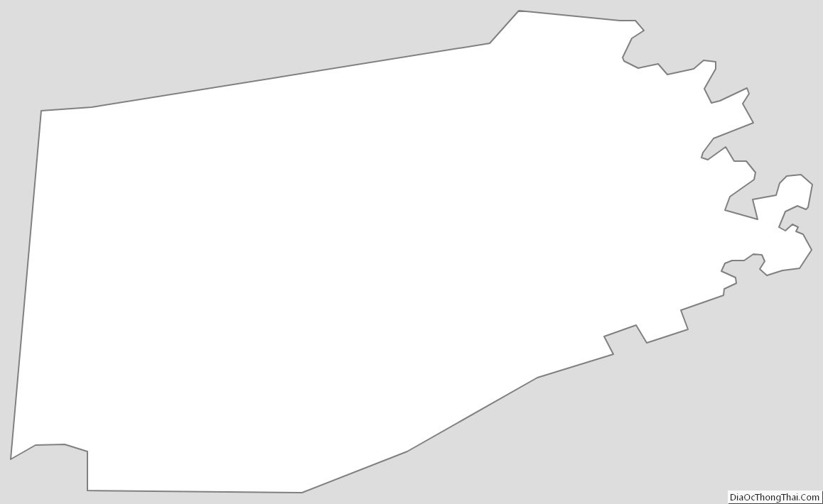
Boyle County Outline Map