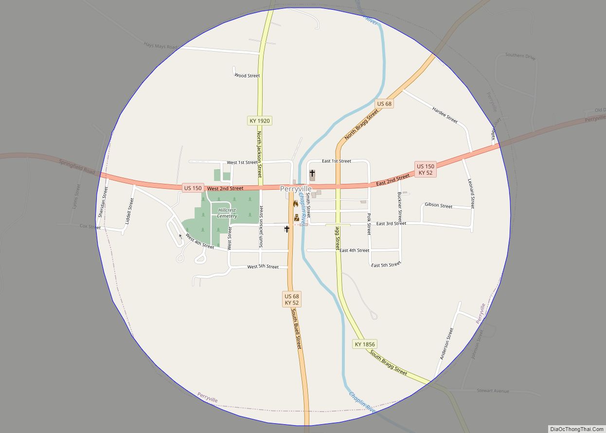
Perryville (/ˈpɛrɪvəl, -vɪl/) is a home rule-class city along the Chaplin River in western Boyle County, Kentucky, in the United States. The population was 751 at the time of the 2010 U.S. Census. It is part of the Danville Micropolitan Statistical Area.
| Name: | Perryville city |
|---|---|
| LSAD Code: | 25 |
| LSAD Description: | city (suffix) |
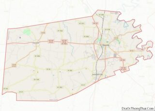
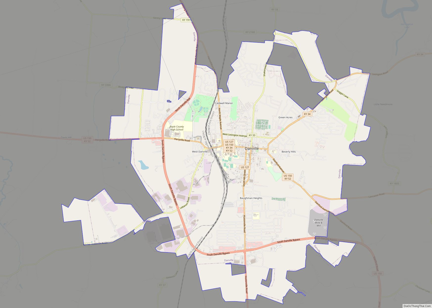
| State: | Kentucky |
| County: | Boyle County |
| Incorporated: | February 6, 1867 |
| Elevation: | 840 ft (260 m) |
| Total Area: | 0.80 sq mi (2.06 km²) |
| Land Area: | 0.78 sq mi (2.02 km²) |
| Water Area: | 0.01 sq mi (0.04 km²) |
| Total Population: | 782 |
| Population Density: | 1,001.28/sq mi (386.61/km²) |
| ZIP code: | 40468 |
| Area code: | 859 |
| FIPS code: | 2160258 |
| GNISfeature ID: | 0500436 |
Online Interactive Map
Click on ![]() to view map in "full screen" mode.
to view map in "full screen" mode.
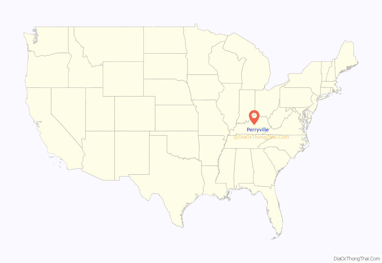
Perryville location map. Where is Perryville city?

History
The site was first settled by James Harbeson and a band of Virginians in the final stages of the American Revolution c. 1781. Harbeson’s Fort or Station was located near a cave and spring to provide additional protection from Indian raids. The settlement’s position beside the river and along roads leading to Harrod’s Fort, Louisville, Lebanon, and Danville caused it to be renamed Harbeson’s Crossing.
In 1815, Edward Bullock and William Hall laid out a new town at the site named for Cmdr. Oliver Hazard Perry, the hero of the 1813 Battle of Lake Erie during the War of 1812. Bullock started the post office the next year and the state legislature incorporated the city in 1817. In the late 1830s, a line of buildings next to the Chaplin River formed the basis of the village of Perryville. Now called “Merchants’ Row,” these buildings still stand.
The early nineteenth century revived interest in classical education for the small town. Many institutions of higher learning, mostly all-women’s colleges, were established, including the Ewing Institute, the Elmwood Academy, and Harmonia College. One of Harmonia College’s graduates achieved national prominence – Carrie Nation, the national temperance leader, boarded at the Karrick-Parks house while living in Perryville. As Nation “cleaned out” a number of local spots, it is believed that Perryville became the first location in the United States to exercise Local Option laws.
In October 1862, the fields west of town were the site of the Battle of Perryville, an important encounter in the American Civil War that ended the Kentucky Campaign of Confederate generals Braxton Bragg and Edmund Kirby Smith. The Perryville Battlefield is preserved as a state park, and is the site of a reenactment of the battle every year.
In 1961, Perryville and the surrounding area was made part of a National Historic Landmark area. In 1973, the entire town of Perryville, because of the contribution the village has made toward American history, was put on the National Register of Historic Places.
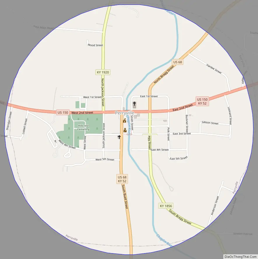
Perryville Road Map
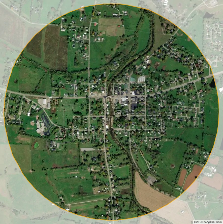
Perryville city Satellite Map
Geography
Perryville is located at 37°39′0″N 84°57′1″W / 37.65000°N 84.95028°W / 37.65000; -84.95028 (37.649974, -84.950176) at the junction of US Route 68 and US Route 150. According to the United States Census Bureau, the city has a total area of 0.81 square miles (2.1 km), of which 0.77 square miles (2.0 km) is land and 0.015 square miles (0.04 km), or 1.84%, is water.
See also
Map of Kentucky State and its subdivision:- Adair
- Allen
- Anderson
- Ballard
- Barren
- Bath
- Bell
- Boone
- Bourbon
- Boyd
- Boyle
- Bracken
- Breathitt
- Breckinridge
- Bullitt
- Butler
- Caldwell
- Calloway
- Campbell
- Carlisle
- Carroll
- Carter
- Casey
- Christian
- Clark
- Clay
- Clinton
- Crittenden
- Cumberland
- Daviess
- Edmonson
- Elliott
- Estill
- Fayette
- Fleming
- Floyd
- Franklin
- Fulton
- Gallatin
- Garrard
- Grant
- Graves
- Grayson
- Green
- Greenup
- Hancock
- Hardin
- Harlan
- Harrison
- Hart
- Henderson
- Henry
- Hickman
- Hopkins
- Jackson
- Jefferson
- Jessamine
- Johnson
- Kenton
- Knott
- Knox
- Larue
- Laurel
- Lawrence
- Lee
- Leslie
- Letcher
- Lewis
- Lincoln
- Livingston
- Logan
- Lyon
- Madison
- Magoffin
- Marion
- Marshall
- Martin
- Mason
- McCracken
- McCreary
- McLean
- Meade
- Menifee
- Mercer
- Metcalfe
- Monroe
- Montgomery
- Morgan
- Muhlenberg
- Nelson
- Nicholas
- Ohio
- Oldham
- Owen
- Owsley
- Pendleton
- Perry
- Pike
- Powell
- Pulaski
- Robertson
- Rockcastle
- Rowan
- Russell
- Scott
- Shelby
- Simpson
- Spencer
- Taylor
- Todd
- Trigg
- Trimble
- Union
- Warren
- Washington
- Wayne
- Webster
- Whitley
- Wolfe
- Woodford
- Alabama
- Alaska
- Arizona
- Arkansas
- California
- Colorado
- Connecticut
- Delaware
- District of Columbia
- Florida
- Georgia
- Hawaii
- Idaho
- Illinois
- Indiana
- Iowa
- Kansas
- Kentucky
- Louisiana
- Maine
- Maryland
- Massachusetts
- Michigan
- Minnesota
- Mississippi
- Missouri
- Montana
- Nebraska
- Nevada
- New Hampshire
- New Jersey
- New Mexico
- New York
- North Carolina
- North Dakota
- Ohio
- Oklahoma
- Oregon
- Pennsylvania
- Rhode Island
- South Carolina
- South Dakota
- Tennessee
- Texas
- Utah
- Vermont
- Virginia
- Washington
- West Virginia
- Wisconsin
- Wyoming