| Name: | Bremer County |
|---|---|
| FIPS code: | 19-017 |
| State: | Iowa |
| Founded: | 1851 |
| Named for: | Fredrika Bremer |
| Seat: | Waverly |
| Largest city: | Waverly |
| Total Area: | 439 sq mi (1,140 km²) |
| Land Area: | 435 sq mi (1,130 km²) |
| Total Population: | 24,988 |
| Population Density: | 57/sq mi (22/km²) |
| Time zone: | UTC−6 (Central) |
| Summer Time Zone (DST): | UTC−5 (CDT) |
| Website: | www.bremercounty.iowa.gov |
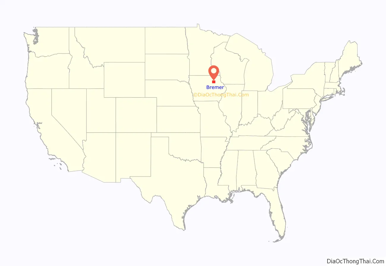
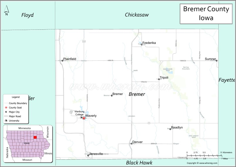
Bremer County location map. Where is Bremer County?
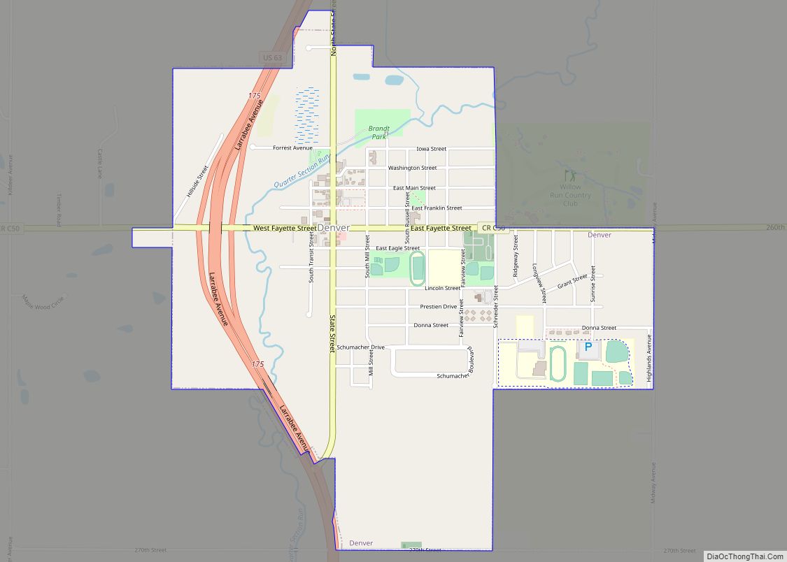
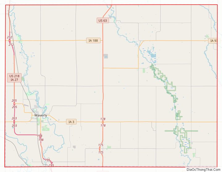
Bremer County Road Map
Geography
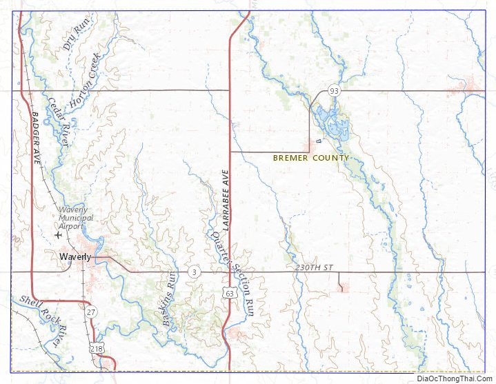
According to the U.S. Census Bureau, the county has a total area of 439 square miles (1,140 km), of which 435 square miles (1,130 km) is land and 3.9 square miles (10 km) (0.9%) is water. It is intersected by the Cedar and Wapsipinicon rivers.
Major highways
- U.S. Highway 63
- U.S. Highway 218
- Iowa Highway 3
- Iowa Highway 27
- Iowa Highway 93
- Iowa Highway 188
Adjacent counties
- Chickasaw County (north)
- Fayette County (east)
- Floyd County (northwest)
- Black Hawk County (south)
- Buchanan County (southeast)
- Butler County (west)
Bremer County Topographic Map
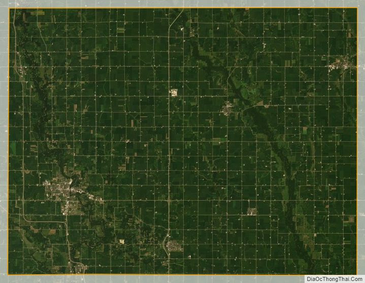
Bremer County Satellite Map
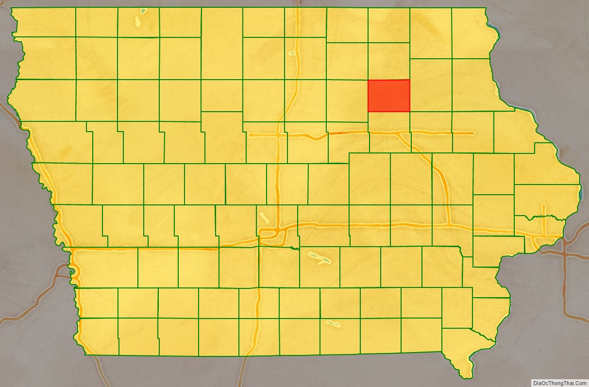
Bremer County Outline Map