Janesville is a city in Black Hawk and Bremer counties in the U.S. state of Iowa. The population was 1034 at the 2020 census. It is part of the Waterloo–Cedar Falls Metropolitan Statistical Area.
| Name: | Janesville city |
|---|---|
| LSAD Code: | 25 |
| LSAD Description: | city (suffix) |
| State: | Iowa |
| County: | Black Hawk County, Bremer County |
| Elevation: | 906 ft (276 m) |
| Total Area: | 1.47 sq mi (3.81 km²) |
| Land Area: | 1.41 sq mi (3.66 km²) |
| Water Area: | 0.06 sq mi (0.15 km²) |
| Total Population: | 1,034 |
| Population Density: | 731.26/sq mi (282.39/km²) |
| ZIP code: | 50647 |
| Area code: | 319 |
| FIPS code: | 1939405 |
| GNISfeature ID: | 0457912 |
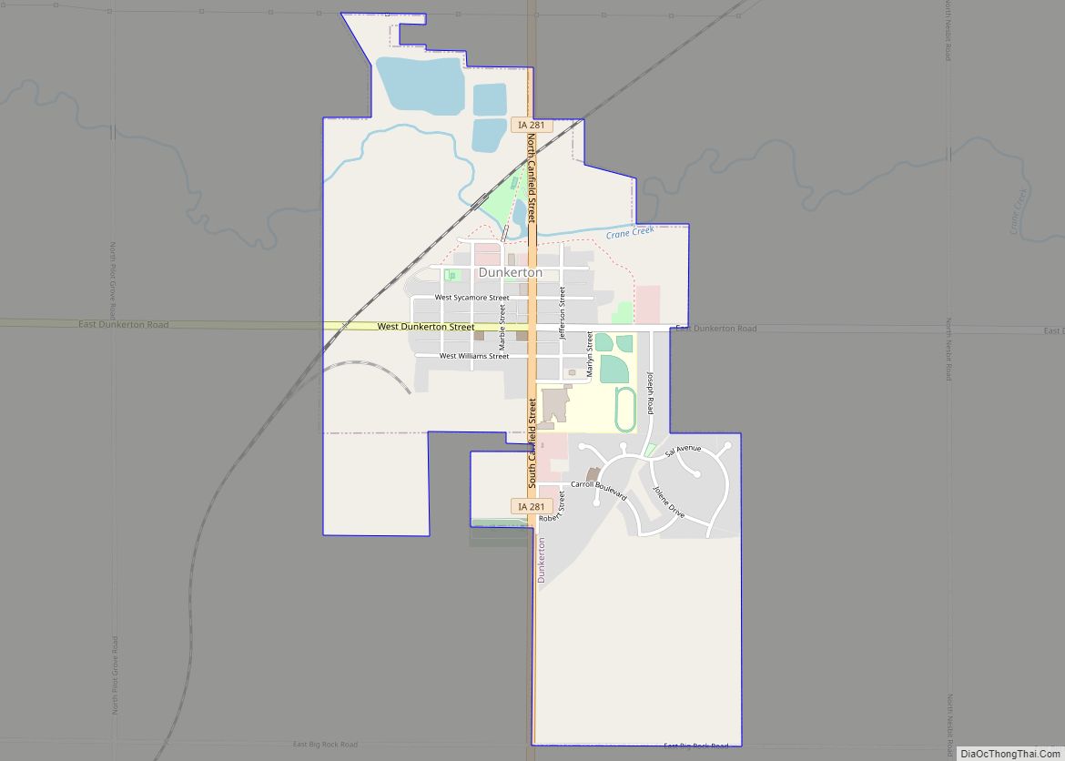
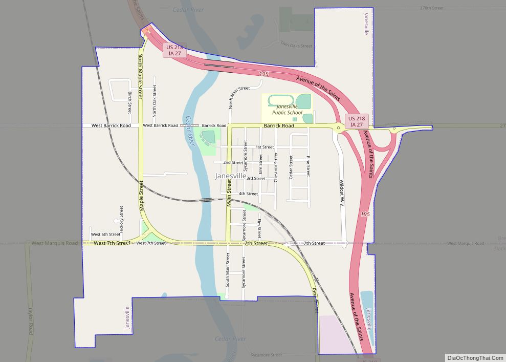
Online Interactive Map
Click on ![]() to view map in "full screen" mode.
to view map in "full screen" mode.
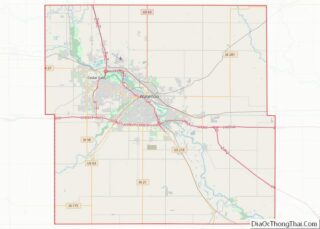
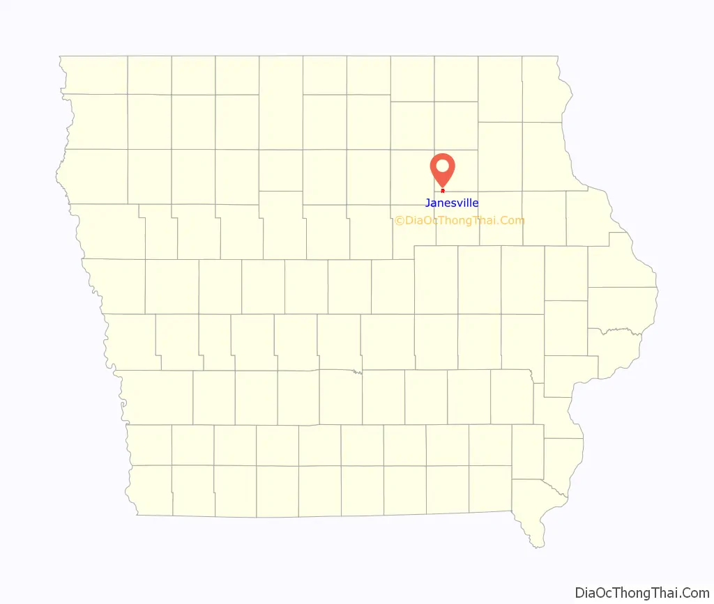
Janesville location map. Where is Janesville city?

History
Janesville was founded in 1849 by John T. Barrick, a Quaker and abolitionist who had relocated to Iowa from Ohio. According to the book, “The Janesvillians, Volumes I and II” by Maxine Leonard, John T. Barrick built the first mill and frame house in the area. He platted the town of Janesville, which he named in honor of his wife, Jane McPherson Barrick.
It has been established that a tunnel once existed under the business district of Janesville. The tunnel ran between basements and below buildings on both sides of Janesville’s Main Street, crossing below the street in the center of town and continuing westward to the Cedar River. One branch of the tunnel continued northward, connecting to the site of Fort John, a shelter built to protect settlers during the Ho-Chunk uprising in June, 1854. The tunnel terminated in the basement of the home of Abel Crail, who later served in Union Army in the American Civil War, and was the first Commander of Janesville Post No. 172, Grand Army of the Republic. According to local legend, the Barricks and other townsfolk sympathetic to their cause aided in the escape of runaway slaves as part of the Underground Railroad. Slaves were moved through Janesville from Grinnell and continued to Decorah and into southeastern Minnesota. The tunnel has since been filled in and no longer exists, so some say. It is questioned by others whether or not this is true. People claim to have seen these tunnels and that in fact they still exist to this day.
Janesville was a farming community with a population of 311 in 1900, according to the Iowa Data Center [1]. The town’s population increased to just 445 by 1950. Due to its proximity to Waterloo-Cedar Falls, the population of Janesville increased to 840 by 1980, when the town was referred to as a “bedroom community”. During the farm crisis and economic recession that hit Northeast Iowa in the 1980s, Janesville’s population declined slightly. Since the mid-1990s, with the completion of the four lane bypass U.S. Highway 218 / Iowa Highway 27, known as the “Avenue of the Saints”, [2] Janesville’s population is again increasing. New residential subdivisions continue to develop within the city of Janesville and the surrounding area. [3]
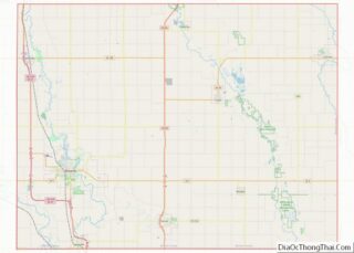
Janesville Road Map

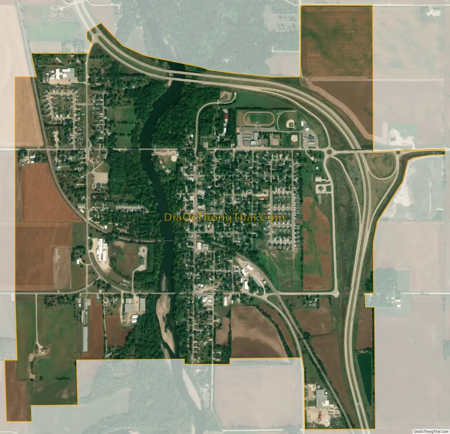
Janesville city Satellite Map
Geography
Janesville is located at 42°38′46″N 92°27′46″W / 42.64611°N 92.46278°W / 42.64611; -92.46278 (42.646008, -92.462663). The city is located on the county line between Bremer and Black Hawk counties, and is bisected by the Cedar River.
According to the United States Census Bureau, the city has a total area of 1.49 square miles (3.86 km), of which 1.44 square miles (3.73 km) is land and 0.05 square miles (0.13 km) is water.
See also
Map of Iowa State and its subdivision:- Adair
- Adams
- Allamakee
- Appanoose
- Audubon
- Benton
- Black Hawk
- Boone
- Bremer
- Buchanan
- Buena Vista
- Butler
- Calhoun
- Carroll
- Cass
- Cedar
- Cerro Gordo
- Cherokee
- Chickasaw
- Clarke
- Clay
- Clayton
- Clinton
- Crawford
- Dallas
- Davis
- Decatur
- Delaware
- Des Moines
- Dickinson
- Dubuque
- Emmet
- Fayette
- Floyd
- Franklin
- Fremont
- Greene
- Grundy
- Guthrie
- Hamilton
- Hancock
- Hardin
- Harrison
- Henry
- Howard
- Humboldt
- Ida
- Iowa
- Jackson
- Jasper
- Jefferson
- Johnson
- Jones
- Keokuk
- Kossuth
- Lee
- Linn
- Louisa
- Lucas
- Lyon
- Madison
- Mahaska
- Marion
- Marshall
- Mills
- Mitchell
- Monona
- Monroe
- Montgomery
- Muscatine
- O'Brien
- Osceola
- Page
- Palo Alto
- Plymouth
- Pocahontas
- Polk
- Pottawattamie
- Poweshiek
- Ringgold
- Sac
- Scott
- Shelby
- Sioux
- Story
- Tama
- Taylor
- Union
- Van Buren
- Wapello
- Warren
- Washington
- Wayne
- Webster
- Winnebago
- Winneshiek
- Woodbury
- Worth
- Wright
- Alabama
- Alaska
- Arizona
- Arkansas
- California
- Colorado
- Connecticut
- Delaware
- District of Columbia
- Florida
- Georgia
- Hawaii
- Idaho
- Illinois
- Indiana
- Iowa
- Kansas
- Kentucky
- Louisiana
- Maine
- Maryland
- Massachusetts
- Michigan
- Minnesota
- Mississippi
- Missouri
- Montana
- Nebraska
- Nevada
- New Hampshire
- New Jersey
- New Mexico
- New York
- North Carolina
- North Dakota
- Ohio
- Oklahoma
- Oregon
- Pennsylvania
- Rhode Island
- South Carolina
- South Dakota
- Tennessee
- Texas
- Utah
- Vermont
- Virginia
- Washington
- West Virginia
- Wisconsin
- Wyoming