Burke County is a county on the north edge of the U.S. state of North Dakota, adjacent to the south line of Canada. As of the 2020 census, the population was 2,201. The county seat is Bowbells. The county is named after John Burke, the tenth Governor of North Dakota.
| Name: | Burke County |
|---|---|
| FIPS code: | 38-013 |
| State: | North Dakota |
| Founded: | 1910 |
| Named for: | John Burke |
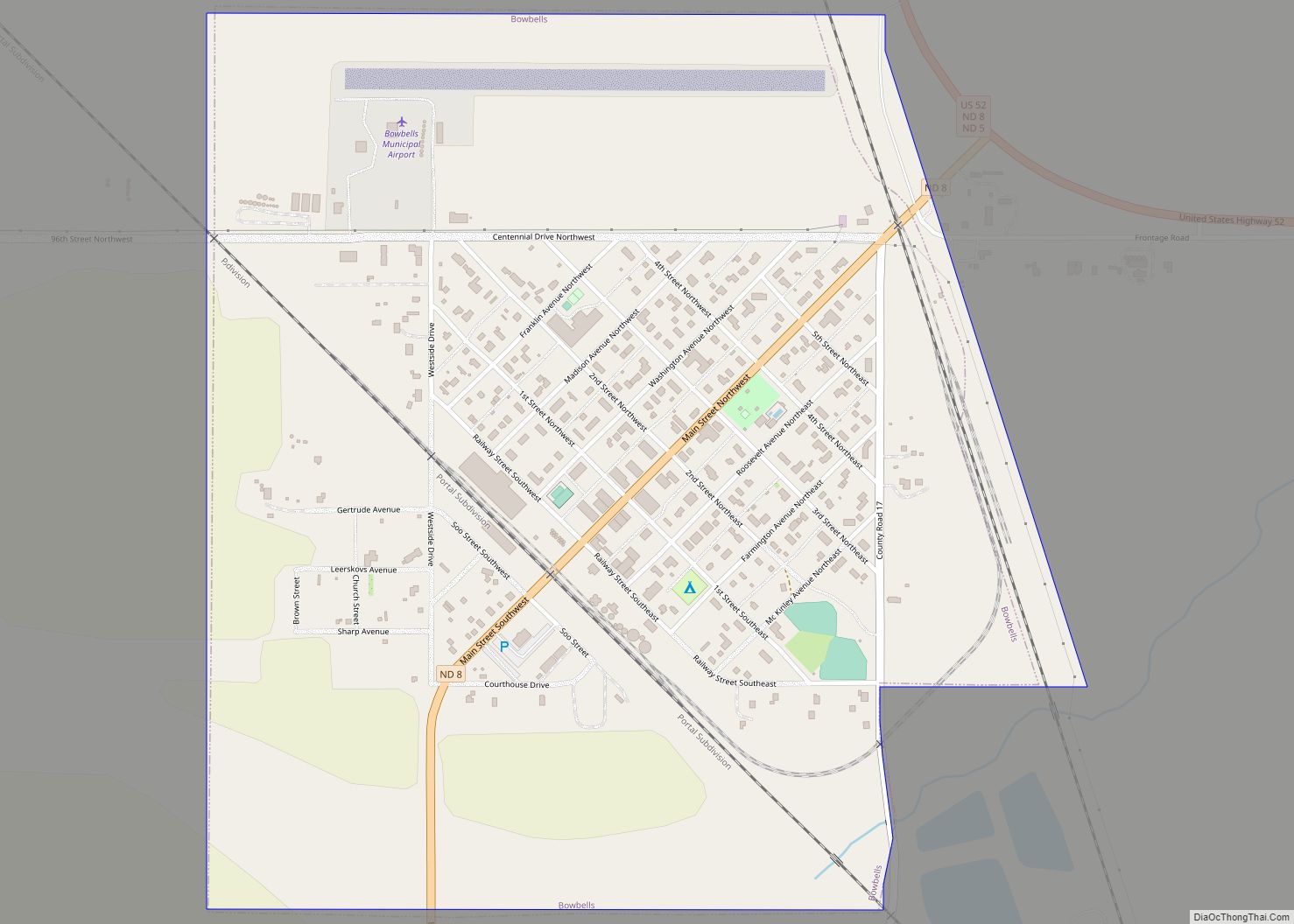
| Seat: | Bowbells |
| Largest city: | Bowbells |
| Total Area: | 1,129 sq mi (2,920 km²) |
| Land Area: | 1,104 sq mi (2,860 km²) |
| Total Population: | 2,201 |
| Population Density: | 1.9/sq mi (0.75/km²) |
| Time zone: | UTC−6 (Central) |
| Summer Time Zone (DST): | UTC−5 (CDT) |
| Website: | www.burkecountynd.com |
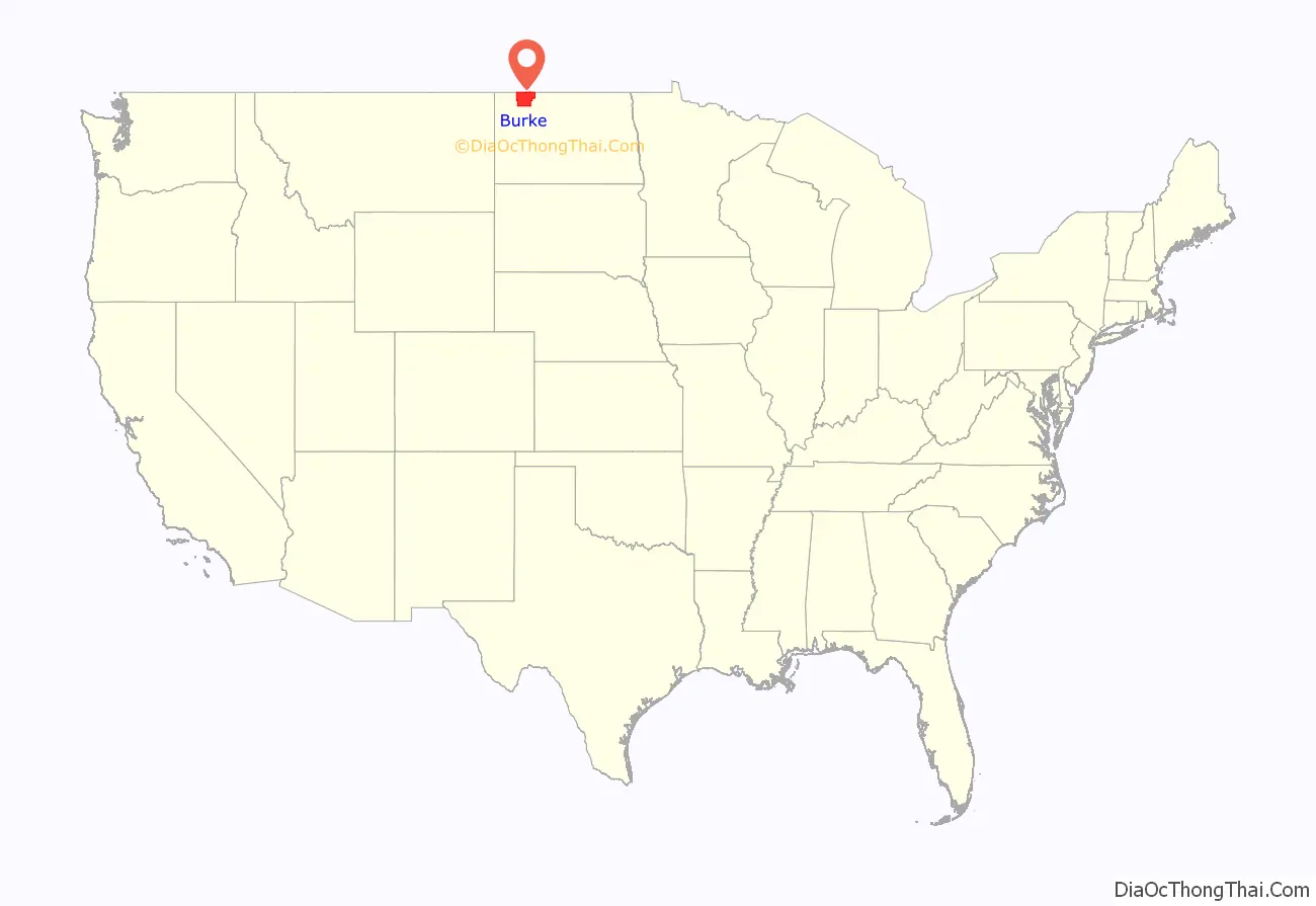
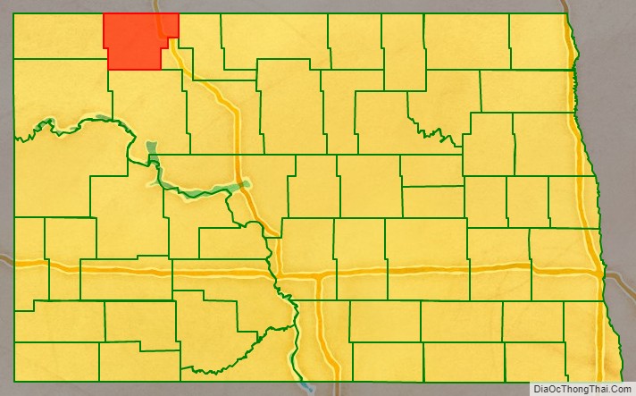
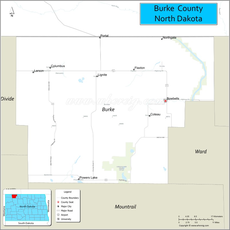
Burke County location map. Where is Burke County?
History
A vote was held on November 3, 1908, in which county voters authorized the partition of Burke County from what was then known as ‘Imperial Ward County’ (which consisted of what is now Burke, Mountrail, Renville, and Ward counties). Its name recognized the state governor at the time, John Burke. However, the vote was challenged in court, and appealed to the state supreme court. That court ruled on June 3, 1910, to uphold the election results, so on July 12, Governor Burke issued a proclamation creating Burke County. Its organization was effected on July 15, with Bowbells as its county seat. The county is managed by a three-member Board of Commissioners. As of 2018 the Board Chair is Debbie Kuryn.
Burke County Road Map
Geography
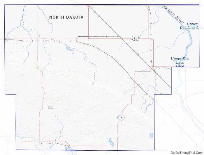
Burke County lies on the north line of North Dakota. Its north boundary line abuts the south boundary line of Canada. The Des Lacs River flows south-southeasterly through the east part of the county, and the White Earth River flows northeasterly through the lower part. The county terrain consists of semi-arid low hills in the northeast part of the county, with higher carved and eroded ridges on the southwestern portion of the county. The area is partly used for agriculture. The terrain slopes to the north; its highest point is on the lower west boundary line, at 2,461′ (750m) ASL. The county has a total area of 1,129 square miles (2,920 km), of which 1,104 square miles (2,860 km) is land and 25 square miles (65 km) (2.2%) is water.
Major highways
- U.S. Highway 52
- North Dakota Highway 5
- North Dakota Highway 8
- North Dakota Highway 40
- North Dakota Highway 50
Adjacent counties and rural municipalities
- Estevan No. 5, Saskatchewan – north
- Coalfields No. 4, Saskatchewan – north
- Enniskillen No. 3, Saskatchewan – north
- Renville County – east
- Ward County – southeast
- Mountrail County – south
- Williams County – southwest
- Divide County – west
Protected areas
- Des Lacs National Wildlife Refuge (part)
- Lostwood National Wildlife Refuge (part)
Lakes
- Beaver Lake
- Enget Lake
- Iverson Slough
- Powers Lake (part)
- Shallow Lake
- Swensons Slouth
- Teal Slough
- Thompson Slough
- Upper Thompson Lake
Burke County Topographic Map
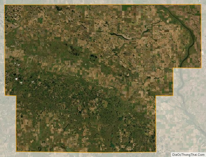
Burke County Satellite Map
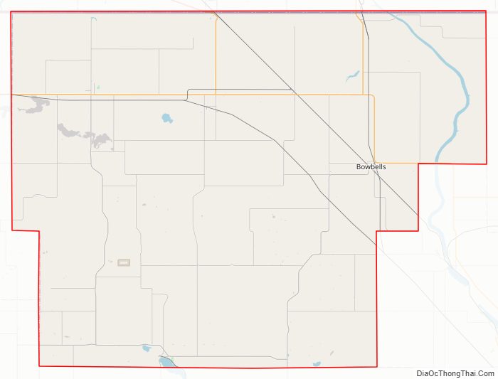
Burke County Outline Map