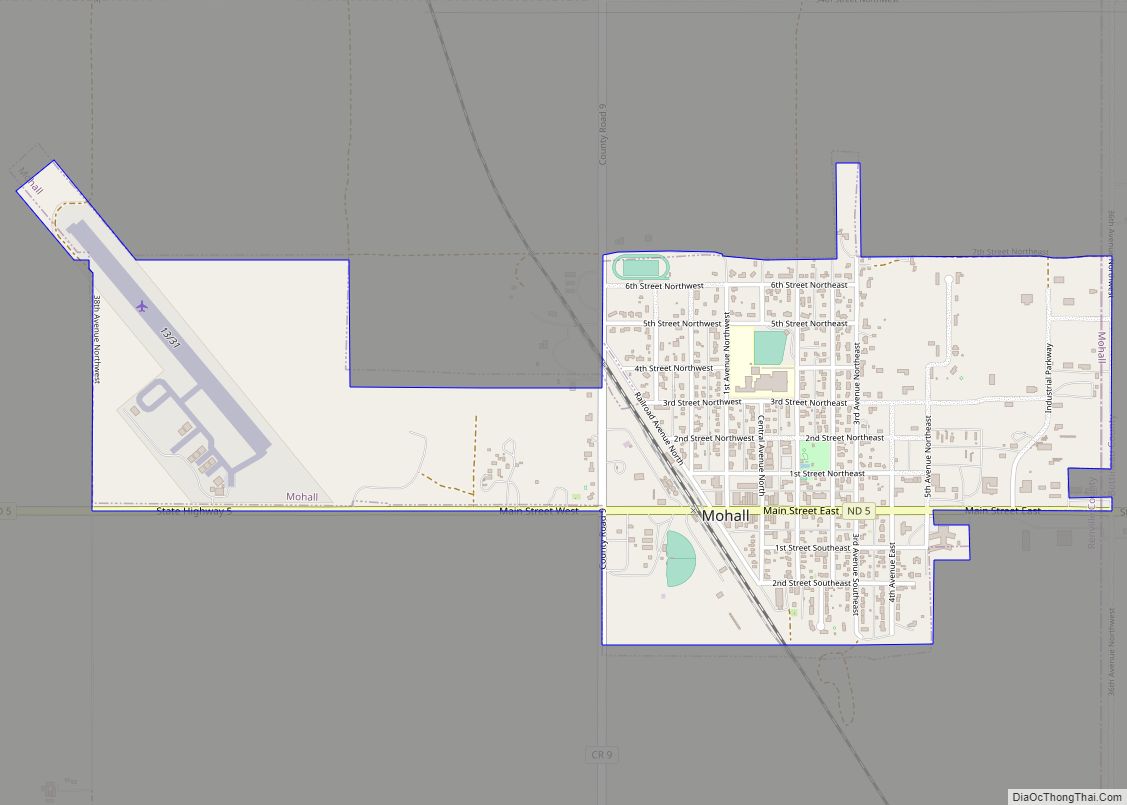
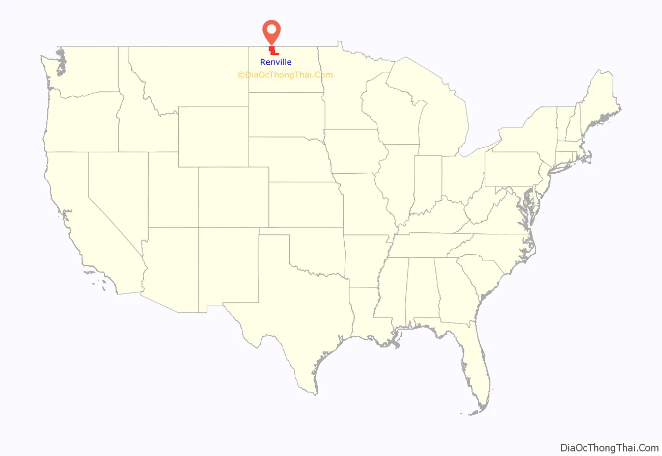
Renville County is a county in the U.S. state of North Dakota. As of the 2020 census, the population was 2,282. Its county seat is Mohall.
Renville County is part of the Minot, ND Micropolitan Statistical Area. It is located south of the Canada–United States border with Saskatchewan.
| Name: | Renville County |
|---|---|
| FIPS code: | 38-075 |
| State: | North Dakota |
| Founded: | 1873 |
| Named for: | Joseph Renville |
| Seat: | Mohall |
| Largest city: | Mohall |
| Total Area: | 893 sq mi (2,310 km²) |
| Land Area: | 877 sq mi (2,270 km²) |
| Total Population: | 2,282 |
| Population Density: | 2.6/sq mi (0.99/km²) |
| Time zone: | UTC−6 (Central) |
| Summer Time Zone (DST): | UTC−5 (CDT) |
| Website: | www.renvillecountynd.org |
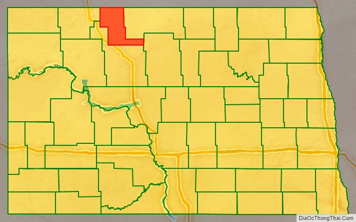
Renville County location map. Where is Renville County?
History
The Dakota Territory legislature created the county on January 4, 1873. It was named for Joseph Renville, an influential fur trader, interpreter, translator, and important figure in dealings between white men and the Sioux. The county was not organized at that time, nor was it attached to another county for administrative or judicial purposes. The proposed county boundaries were altered in 1883, in 1885, and 1887, and on November 8, 1892, the county was dissolved and absorbed into Bottineau and Ward counties due to a lack of settlement.
The general election held November 3, 1908 included a question asking whether a portion of Ward County should be partitioned off and named Renville County (covering a different area than the original county). This question reportedly failed to pass, but it was promptly contested in court, resulting in a ruling by the state Supreme Court ruled on June 3, 1910, that the split should be carried out. The state governor proclaimed the result in a July 12 proclamation, and the county government was organized on July 20 of that year, with Mohall as the county seat.
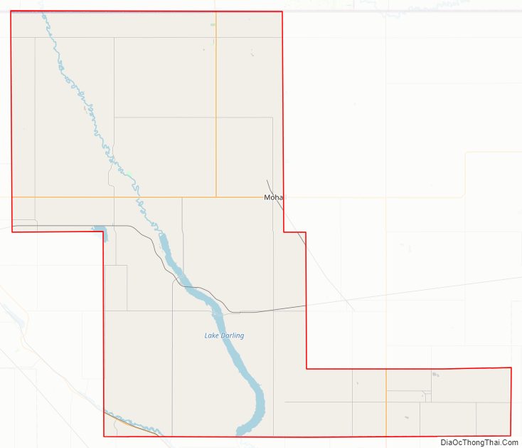
Renville County Road Map
Geography
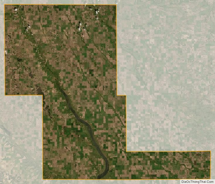
Renville County lies on the north line of North Dakota; its north boundary line abuts the south boundary line of Canada. The Souris River flows southeasterly through the county on its way to Hudson Bay. The county terrain consists of rolling hills, largely devoted to agriculture. The terrain slopes to the south and east; its highest point is its SW corner, at 2,005′ (611m) ASL. The county has a total area of 893 square miles (2,310 km), of which 877 square miles (2,270 km) is land and 16 square miles (41 km) (1.8%) is water.
Major highways
- U.S. Highway 52
- U.S. Highway 83
- North Dakota Highway 5
- North Dakota Highway 28
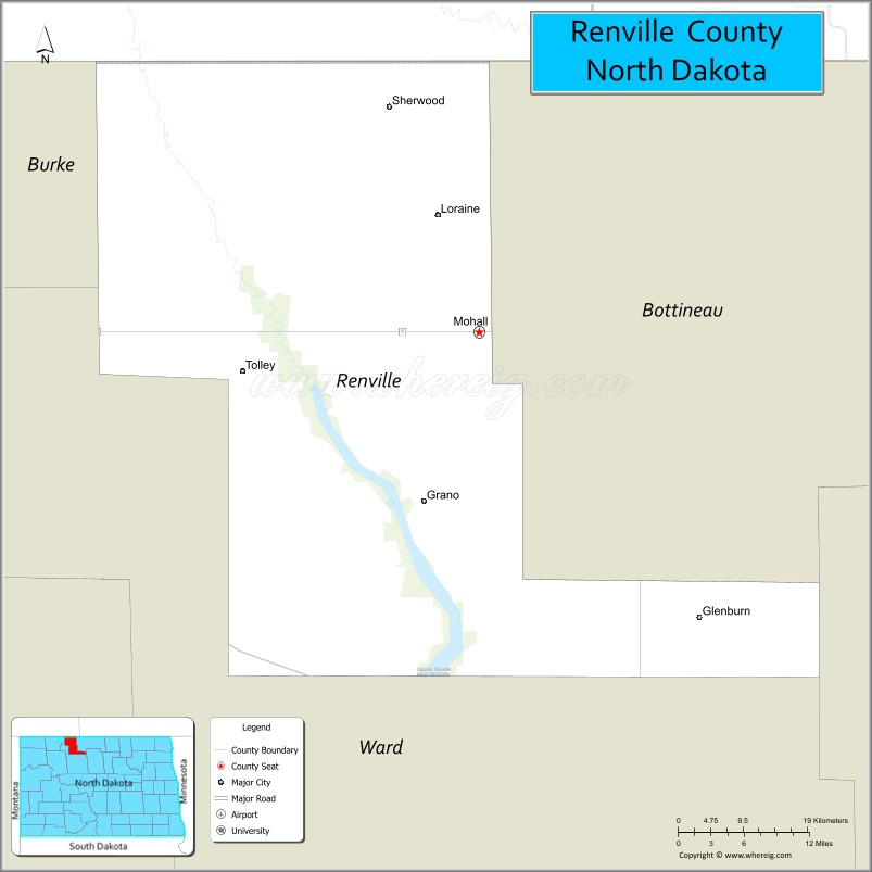
Adjacent counties and rural municipalities
- Mount Pleasant No. 2, Saskatchewan – northwest
- Argyle No. 1, Saskatchewan – northeast
- Bottineau County – east
- McHenry County – southeast
- Ward County – south
- Burke County – west
Protected areas
- Upper Souris National Wildlife Refuge (part)
- Upper Souris Wildlife Refuge
Lakes
- Lake Darling (part)
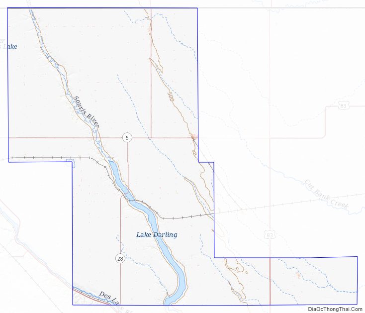
Renville County Topographic Map
Renville County Satellite Map
Renville County Outline Map