Bowbells is a city in and the county seat of Burke County, North Dakota, United States. The population was 301 at the 2020 census.
| Name: | Bowbells city |
|---|---|
| LSAD Code: | 25 |
| LSAD Description: | city (suffix) |
| State: | North Dakota |
| County: | Burke County |
| Founded: | 1898 |
| Incorporated: | 1906 |
| Elevation: | 1,962 ft (598 m) |
| Total Area: | 0.97 sq mi (2.52 km²) |
| Land Area: | 0.95 sq mi (2.46 km²) |
| Water Area: | 0.02 sq mi (0.05 km²) |
| Total Population: | 301 |
| Population Density: | 316.51/sq mi (122.24/km²) |
| ZIP code: | 58721 |
| Area code: | 701 |
| FIPS code: | 3808500 |
| GNISfeature ID: | 1028092 |
| Website: | bowbellsnd.com |
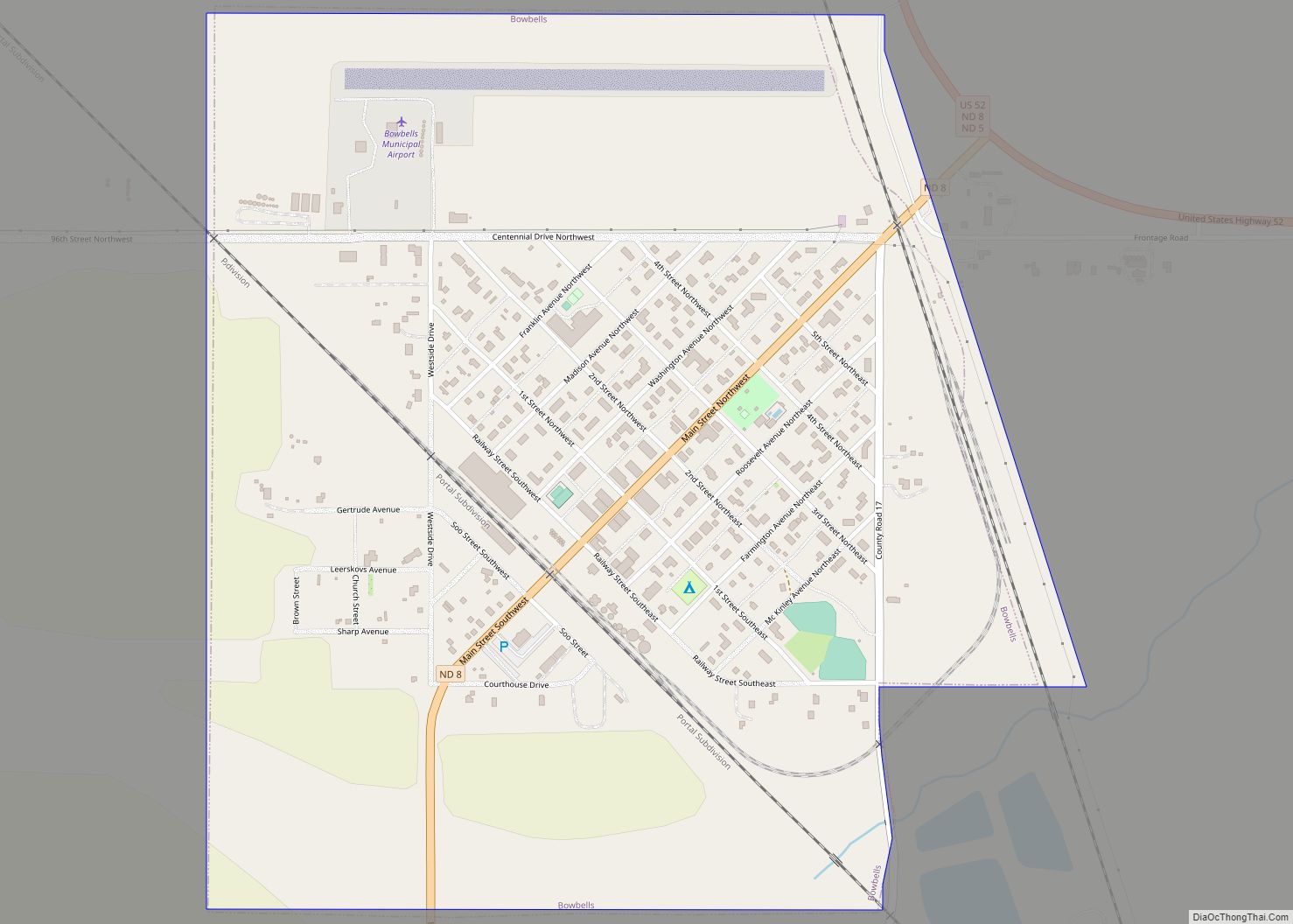
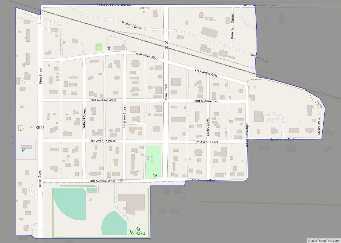
Online Interactive Map
Click on ![]() to view map in "full screen" mode.
to view map in "full screen" mode.
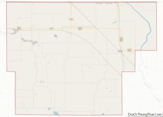
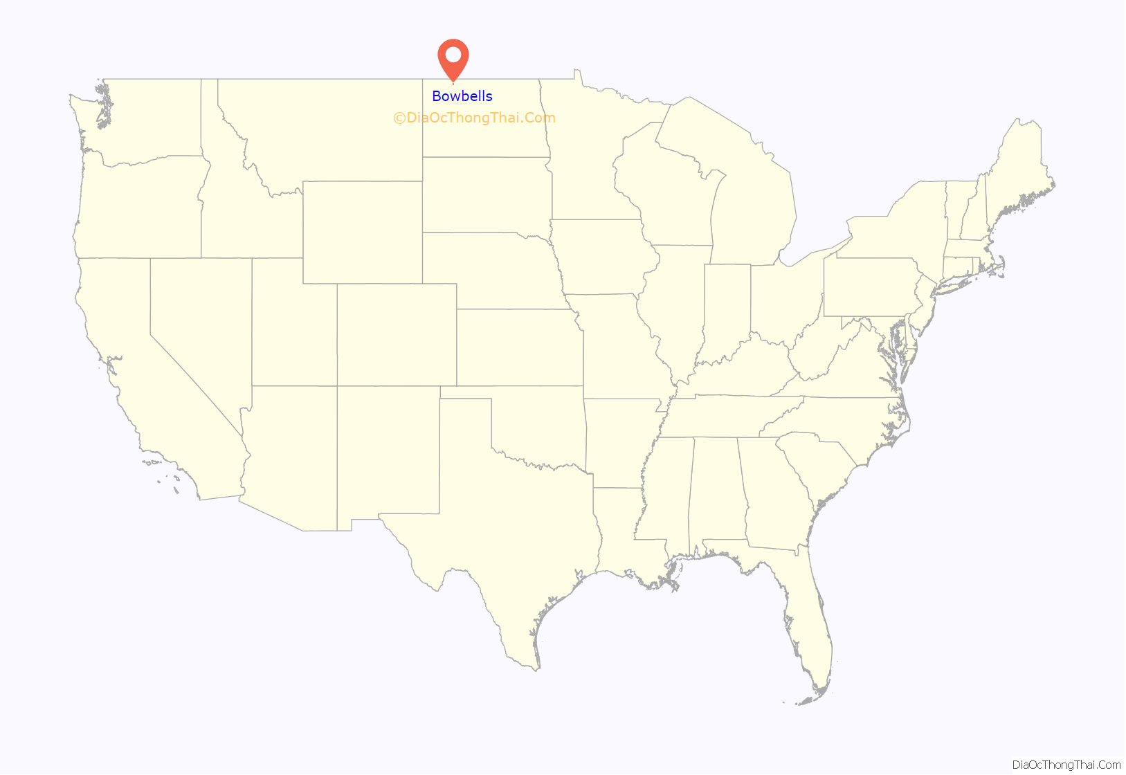
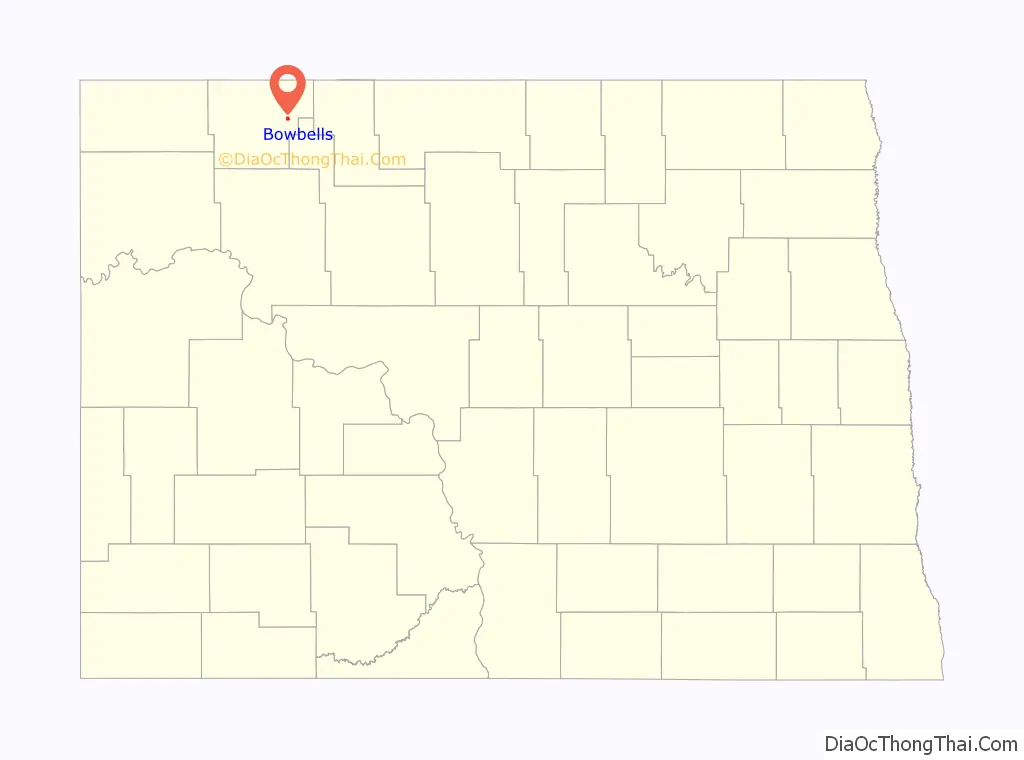
Bowbells location map. Where is Bowbells city?
History
The city of Bowbells was founded in 1898 along the main line of the Soo Line Railroad and incorporated in 1906. The city was named by railroad officials after the famed Bow bells at St Mary-le-Bow in London, England.
The city’s centennial celebration was held in the third week in July, 2006. Several hundred people from all over the country registered and attended. Burke County celebrated its centennial in the summer of 2010.
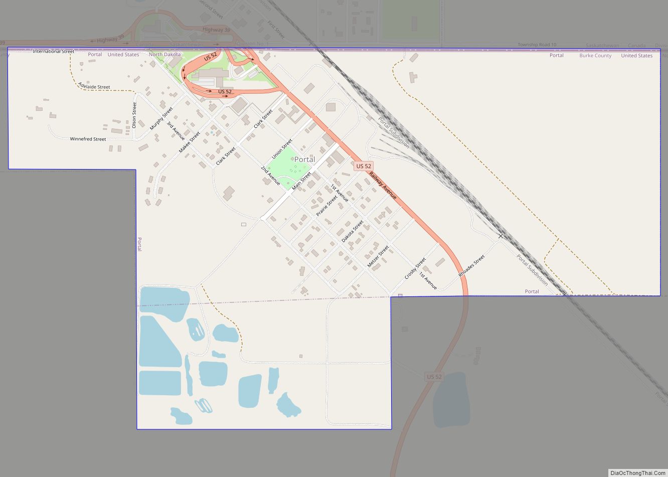
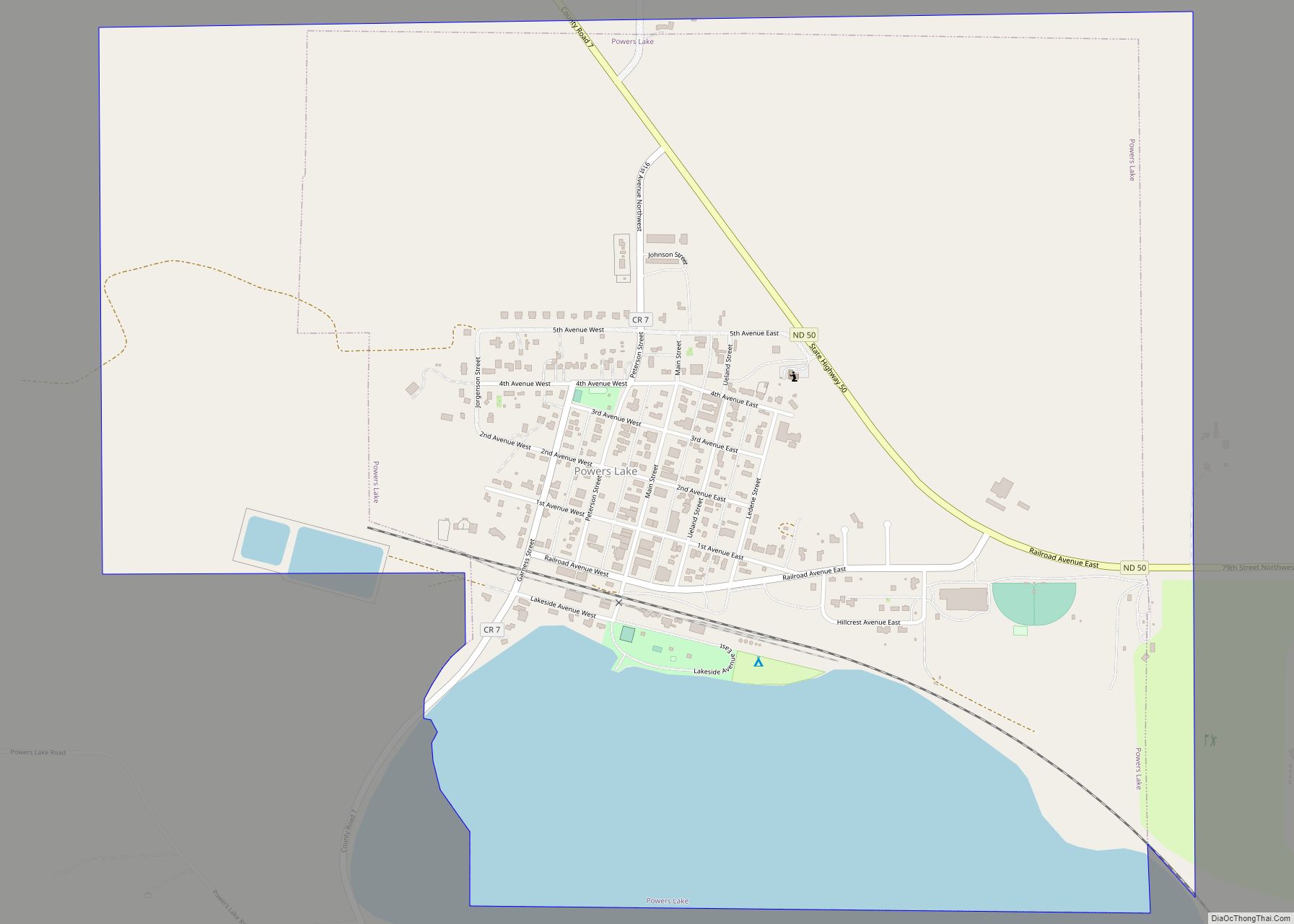
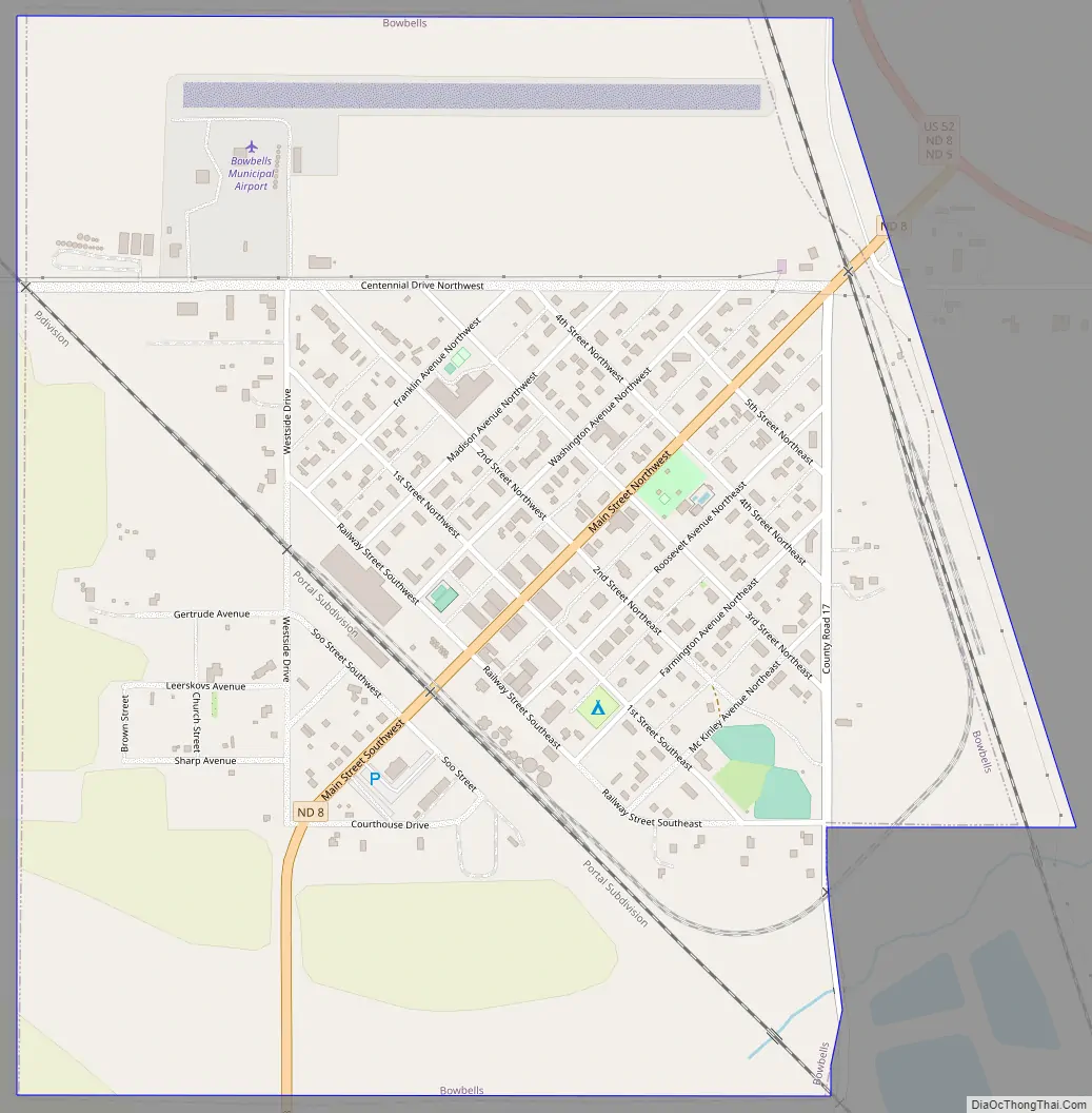
Bowbells Road Map
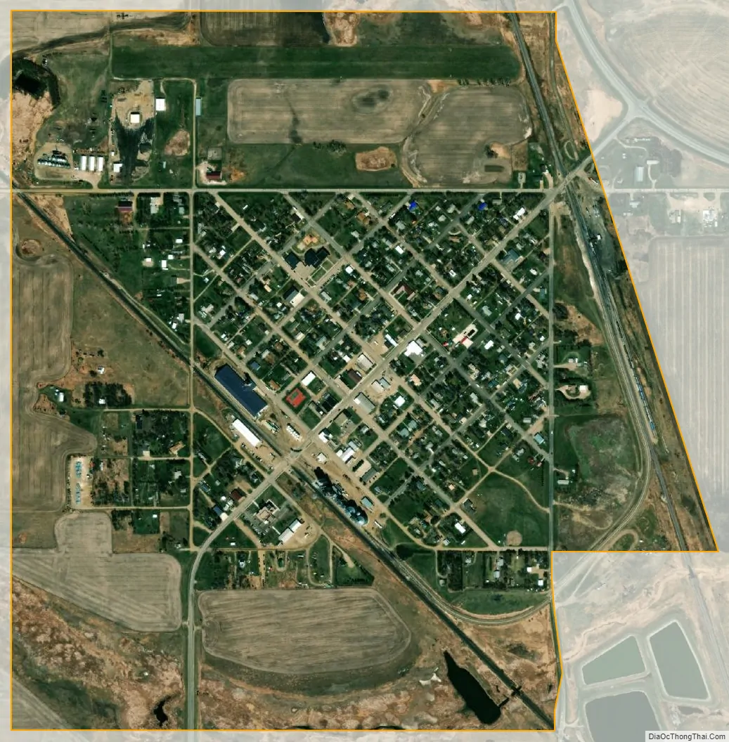
Bowbells city Satellite Map
Geography
Bowbells is located at 48°48′N 102°15′W / 48.800°N 102.250°W / 48.800; -102.250 (48.8038, -102.2462), a few miles west of Upper Des Lacs Lake and the Des Lacs National Wildlife Refuge. The Des Lacs valley was formed as meltwater flowed out of Glacial Lake Regina thousands of years ago.
Bowbells is about 20 km (12 mi) south of the Canada–US border, just off a 90-degree bend in U.S. Highway 52 and along the Canadian Pacific Railway, a railway serving the SunPrairie Grain grain terminal there. It is located approximately 52 miles northwest of Minot, the nearest city with an international airport (MOT) and 30 miles north of Stanley, the nearest passenger train station.
According to the United States Census Bureau, the city has a total area of 0.81 square miles (2.10 km), of which 0.80 square miles (2.07 km) is land and 0.01 square miles (0.03 km) is water.
See also
Map of North Dakota State and its subdivision:- Adams
- Barnes
- Benson
- Billings
- Bottineau
- Bowman
- Burke
- Burleigh
- Cass
- Cavalier
- Dickey
- Divide
- Dunn
- Eddy
- Emmons
- Foster
- Golden Valley
- Grand Forks
- Grant
- Griggs
- Hettinger
- Kidder
- Lamoure
- Logan
- McHenry
- McIntosh
- McKenzie
- McLean
- Mercer
- Morton
- Mountrail
- Nelson
- Oliver
- Pembina
- Pierce
- Ramsey
- Ransom
- Renville
- Richland
- Rolette
- Sargent
- Sheridan
- Sioux
- Slope
- Stark
- Steele
- Stutsman
- Towner
- Traill
- Walsh
- Ward
- Wells
- Williams
- Alabama
- Alaska
- Arizona
- Arkansas
- California
- Colorado
- Connecticut
- Delaware
- District of Columbia
- Florida
- Georgia
- Hawaii
- Idaho
- Illinois
- Indiana
- Iowa
- Kansas
- Kentucky
- Louisiana
- Maine
- Maryland
- Massachusetts
- Michigan
- Minnesota
- Mississippi
- Missouri
- Montana
- Nebraska
- Nevada
- New Hampshire
- New Jersey
- New Mexico
- New York
- North Carolina
- North Dakota
- Ohio
- Oklahoma
- Oregon
- Pennsylvania
- Rhode Island
- South Carolina
- South Dakota
- Tennessee
- Texas
- Utah
- Vermont
- Virginia
- Washington
- West Virginia
- Wisconsin
- Wyoming