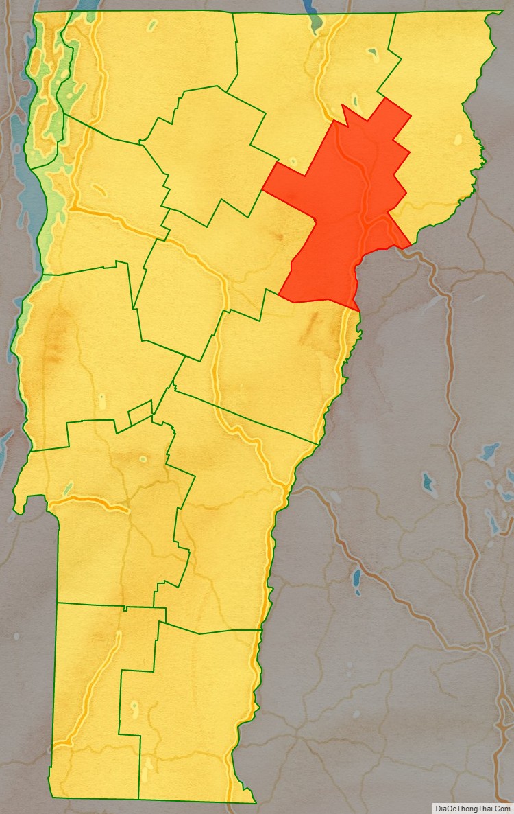
Caledonia County is a county located in the northeastern part of the U.S. state of Vermont. As of the 2020 census, the population was 30,233. Its shire town (county seat) is the town of St. Johnsbury. The county was created in 1792 and organized in 1796. It was given the Latin name for Scotland, in honor of the many settlers who claimed ancestry there.
| Name: | Caledonia County |
|---|---|
| FIPS code: | 50-005 |
| State: | Vermont |
| Founded: | 1796 |
| Named for: | Latin name for Scotland |
| Largest town: | St. Johnsbury |
| Total Area: | 658 sq mi (1,700 km²) |
| Land Area: | 649 sq mi (1,680 km²) |
| Total Population: | 30,233 |
| Population Density: | 46/sq mi (18/km²) |
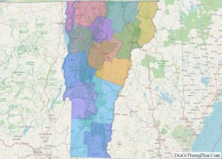
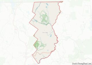
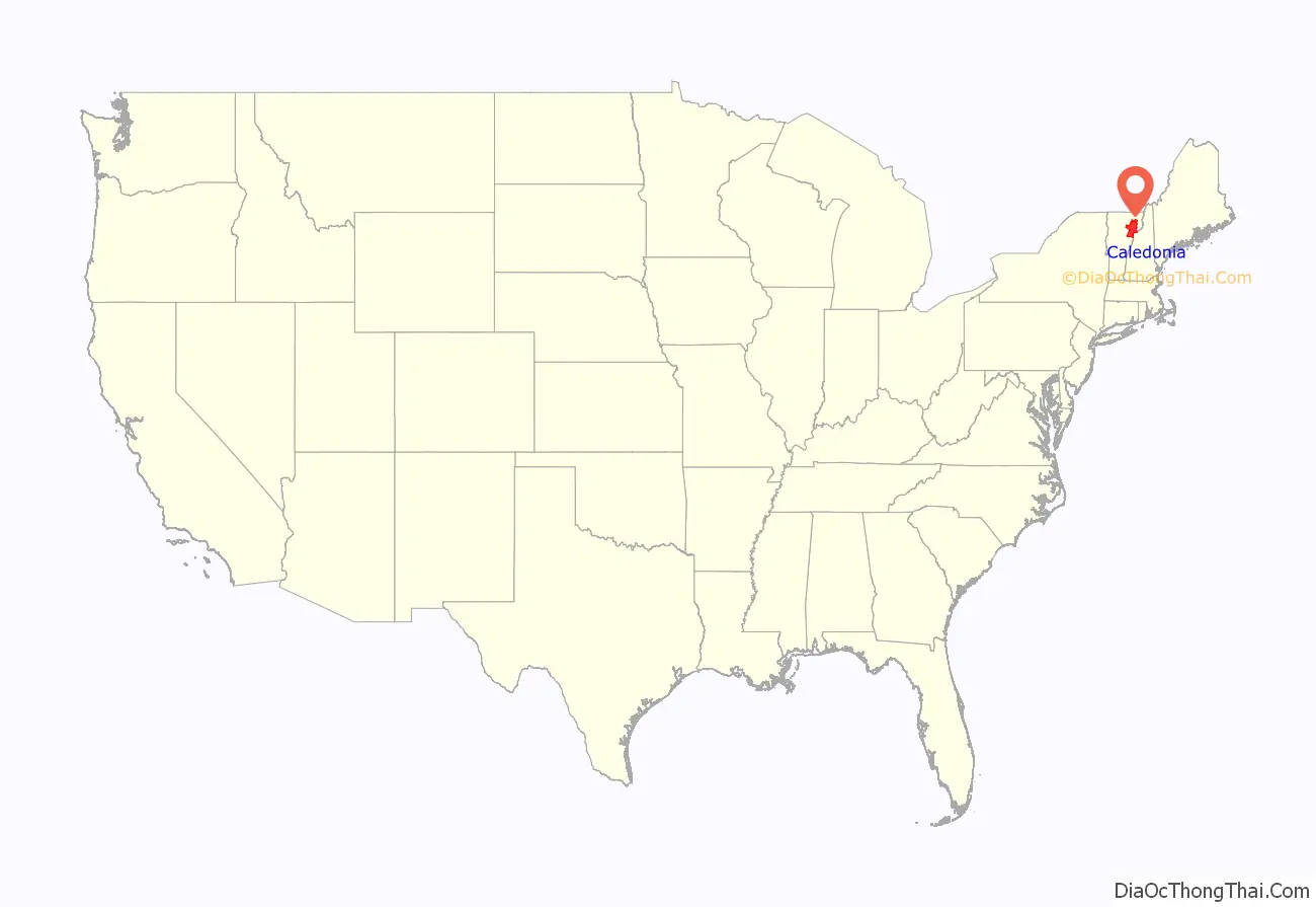
Caledonia County location map. Where is Caledonia County?
History
The county shares the same pre-Columbian history with the Northeast Kingdom.
Rogers’ Rangers were forced to retreat through the county following their attack on Saint-Francis, Quebec in 1759. To confound their avenging pursuers, they had split up. One group came south over the summit into the Passumpsic River Valley.
Vermont was divided into two counties in March 1778. In 1781 the legislature divided the northernmost county, Cumberland, into three counties: Windham and Windsor, located about where they are now. The northern remainder was called Orange county. This latter tract nearly corresponded with the old New York county of Gloucester, organized by that province March 16, 1770, with Newbury as the shire town.
On November 5, 1792, the legislature divided Chittenden and Orange counties into six separate counties, as follows: Chittenden, Orange, Franklin, Caledonia, Essex, and Orleans. There is a supposition that the county was called Caledonia, to commemorate the large number of Scottish settlers.
Caledonians joined the Union Army in response to a call for volunteers. In September 1861, they joined the Vermont 6th Vermont Infantry, and helped fill out Companies B, D and E. The regiment ultimately became part of the First Vermont Brigade.
In 2008, the county was declared a federal disaster area as the result of storms and flooding which occurred on July 18.
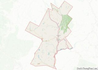
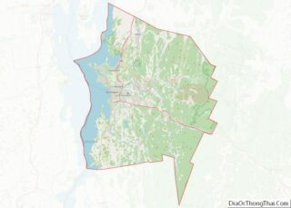
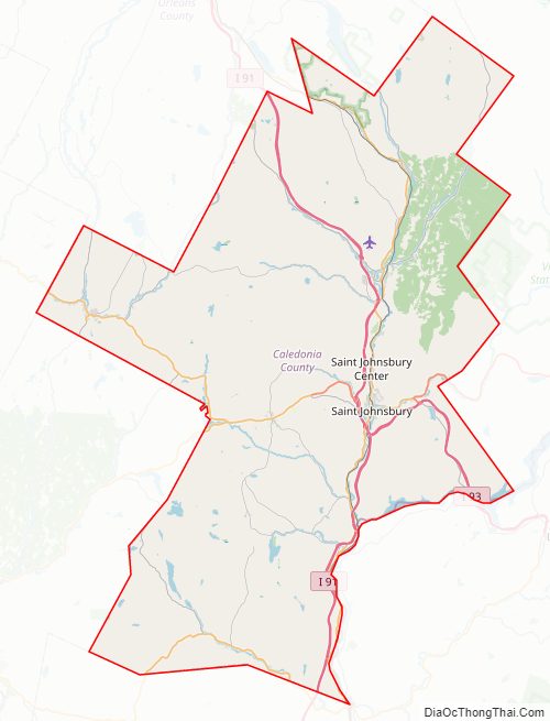
Caledonia County Road Map
Geography
According to the U.S. Census Bureau, the county has a total area of 658 square miles (1,700 km), of which 649 square miles (1,680 km) is land and 8.7 square miles (23 km) (1.3%) is water.
Caledonia is the most populated county of the three in the Northeast Kingdom. However, it is the smallest in area of the three.
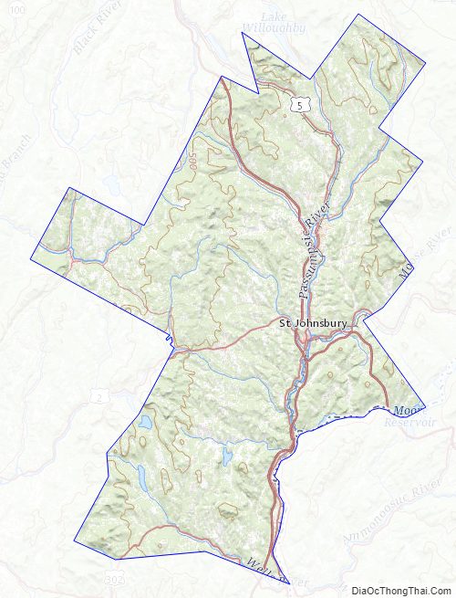
The county has a number of brooks and rivers. The Connecticut River runs along the southeast and forms one of the eastern boundaries of the county. The northern towns are drained by the head branches of the Passumpsic River, which is the largest in the county. It flows south and empties into the Connecticut River in Barnet. There are the Wells, Stevens and Joe’s Rivers in the south. In the west the head waters of the Winooski and Lamoille Rivers. There are about twenty lakes and ponds in the county. The largest are Harvey’s Lake, in Barnet; Wells River and Lund’s Ponds, in Groton; Cole’s Pond, in Walden; Clark’s and Center Ponds, in Newark; and Stile’s Pond, in Waterford. There are falls at different places on the Connecticut, Passumpsic, Wells and Joe’s Rivers. Stevens River, near its mouth, falls 80 feet (24 m) in a distance of 20 rods (330 ft; 100 m). Some of the water power has been harnessed for electricity.
There are sulphur springs in Wheelock, Haynesville, in Hardwick; and in St. Johnsbury, near the Moose River.
Geology
Calciferous mica schist underlies much of the county. There is argillaceous slate running through Waterford and Kirby, which narrows in Burke.
Waterford had a lot of talc. This belongs to the gold bearing formations. Specimens of gold were found in town, and iron and copper pyrites in veins. But none in commercial quality. In Waterford there was an outcrop of slate that was quarried for roofing. Kirby Mountain, in Kirby, was largely granite of commercial quality.
Ryegate had 300 acres (120 ha) granite on the south and west sides of Blue Mountain. The granite was created by volcanic action. This was a medium colored granite of commercial grain and texture. It was quarried in the 19th century. It lay in sheets 3 inches (76 mm) to 10 feet (3.0 m) or 15 feet (4.6 m).
Perhaps the most widely known monument locally using this granite was the soldiers monument at Peacham, Vermont. Monuments from this granite exist all over the country. This was one of the best quality quarries in the country in the 19th century.
The presence of Kame terraces in the country are of interest in connection with the drift that gave the Northeast Kingdom its soil, and its surface stones and boulders. These terraces have beds of sand and clay from which bricks were once manufactured.
Based on research by Edward Hitchcock two or three basins can be identified based on a larger number of interconnected terraces in the Passumpsic River Valley.
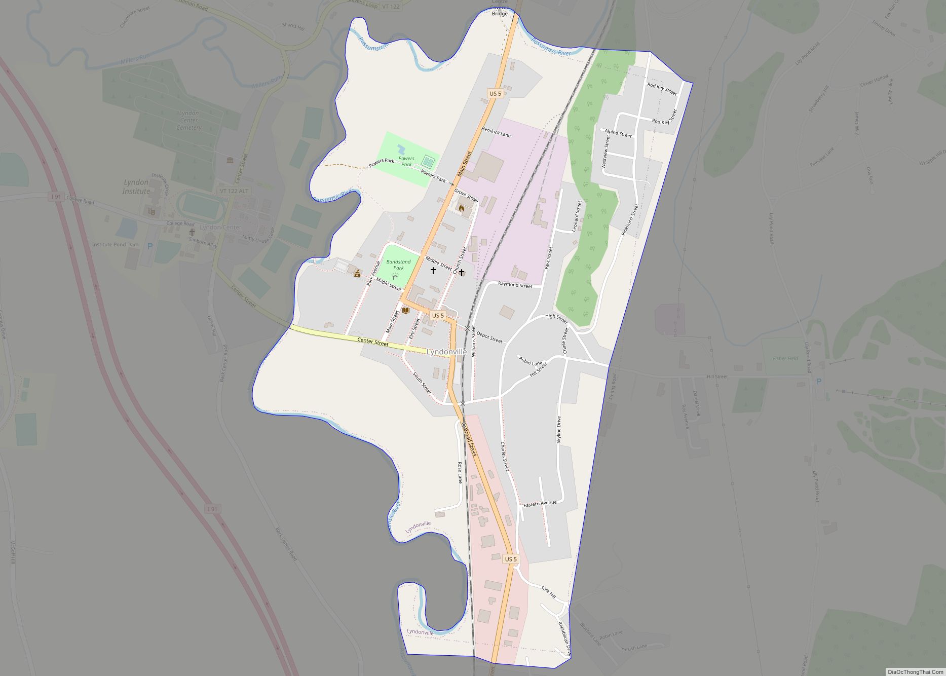
The first extends from the mouth of the Passumpsic River in Barnet, to the northwest corner of the town of Waterford, on the railroad. It is about 4 miles (6.4 km) long. The river runs through a narrow valley in Barnet, a gorge with no terraces. Narrow terraces in the Town of Passumpsic expand and form a basin. The fourth terrace on the west side of the river is part of the next basin, which is in St. Johnsbury and Lyndon. St. Johnsbury Village is on this high terrace which is called “St. Johnsbury Plain”. The base of the terraces at St. Johnsbury is composed of clay. The same terrace occurs on both sides of the river valley beyond Lyndon. There are lower terraces at intervals.
Lyndonville has a high terrace. This may have once extended across the valley to form the end of a basin. Its lower strata are clayey, and are folded and curved. West of this terrace the level is lower. There is the course of a former river bed which ran towards the east. At the upper village of Lyndon the first terrace is about 1 mile (1.6 km) wide. There is a lot of sand and fine gravel adjoining.
Every stream from either side of the valley has its large terraces to correspond with those of the Passumpsic River. It is a characteristic of these terraces that they are large while their quantity is small. The count never exceeds five which is unusual.
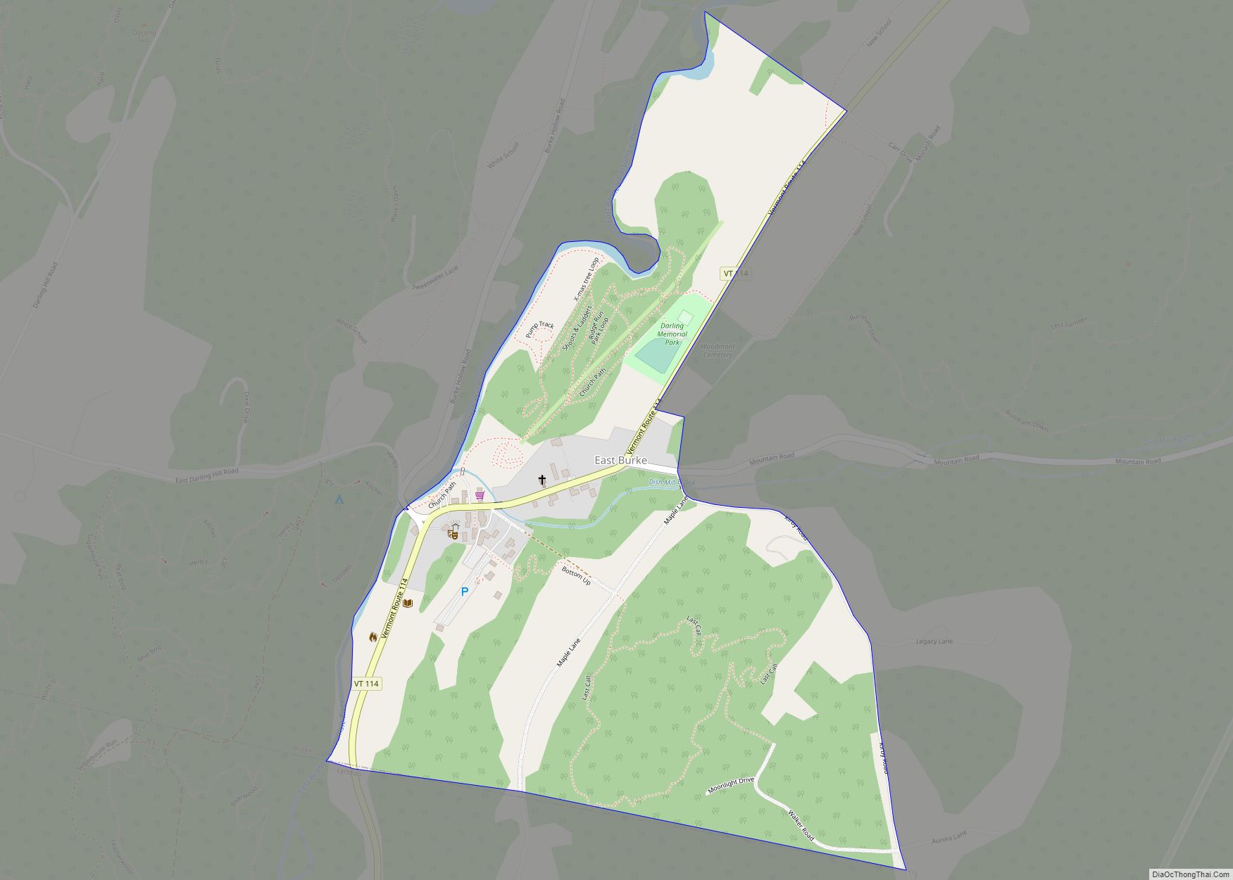
The third basin includes the east branch of the Passumpsic River which runs through the Town of Burke. In East Burke there are several terraces. Near the village there are four on the west side, and two on the east side. Above East Burke the valley rises so that its bottom appears like a terrace. Its steep slope crosses the valley at right angles. There are indistinct terraces on its sides. Since the valley seems to be too wide to correspond with the size of the river, the valley may have been formed by water from unknown sources in prehistoric times.
Caledonia has more muck deposits than any other county in the state. This was once thought to be profitable for farmers.
Adjacent counties
- Orleans County – north
- Essex County – northeast
- Grafton County, New Hampshire – southeast
- Washington County – southwest
- Orange County – south
- Lamoille County – west
Caledonia County Topographic Map
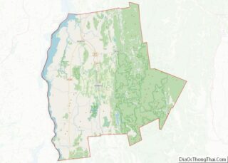
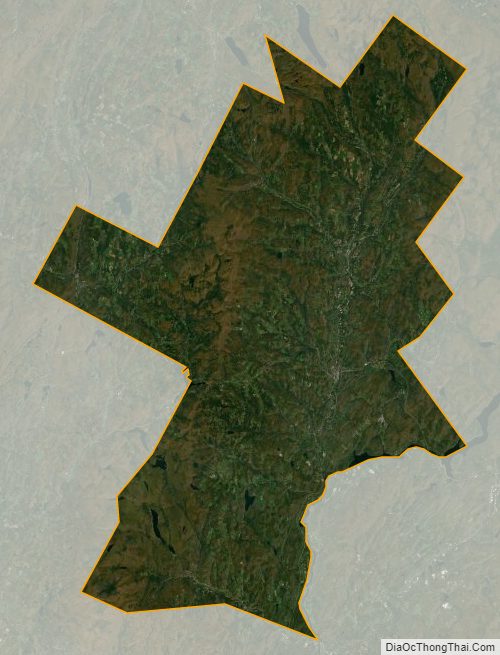
Caledonia County Satellite Map
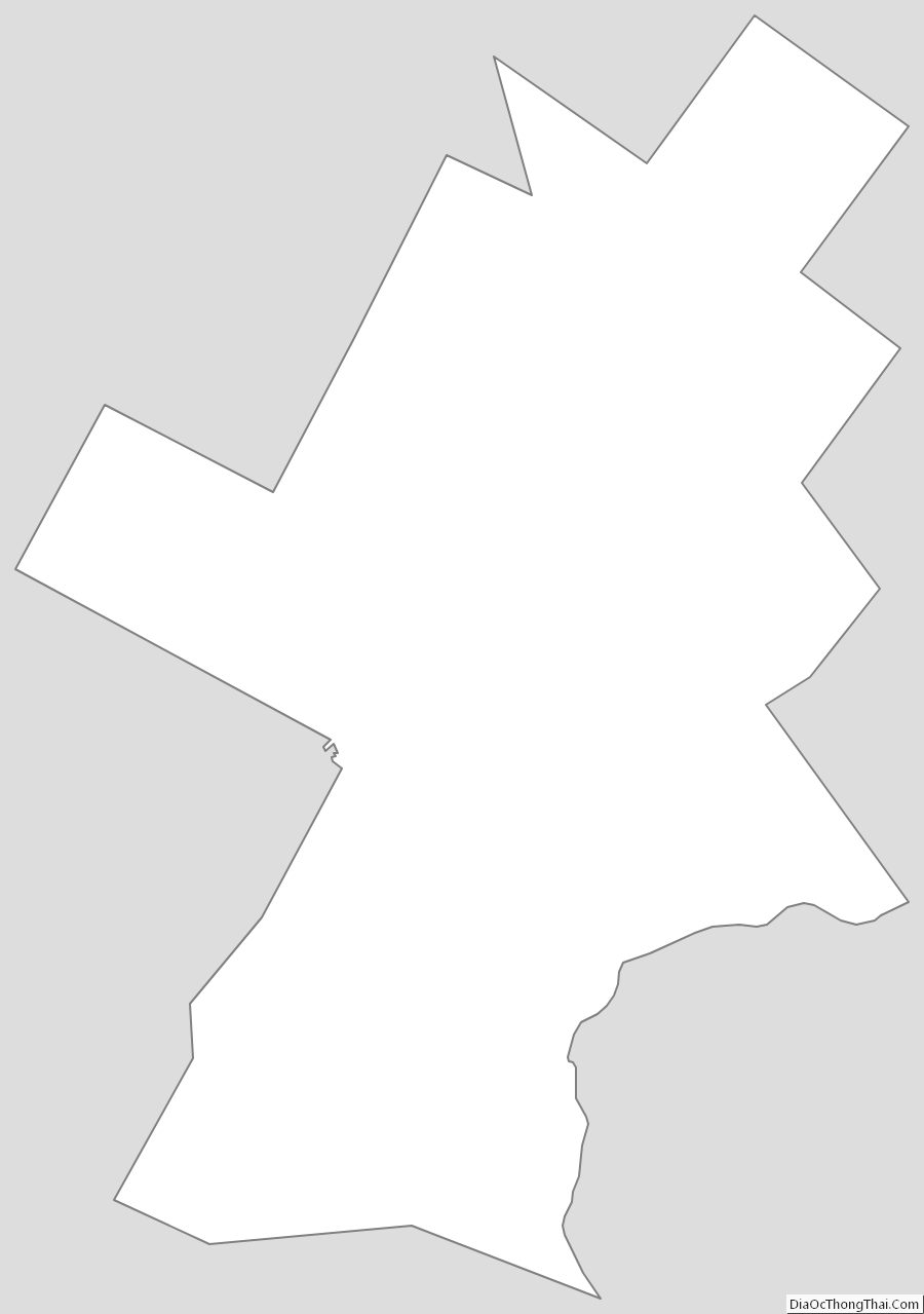
Caledonia County Outline Map