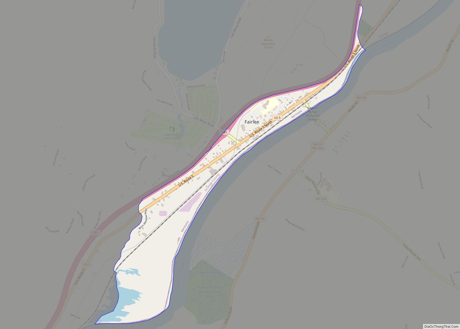
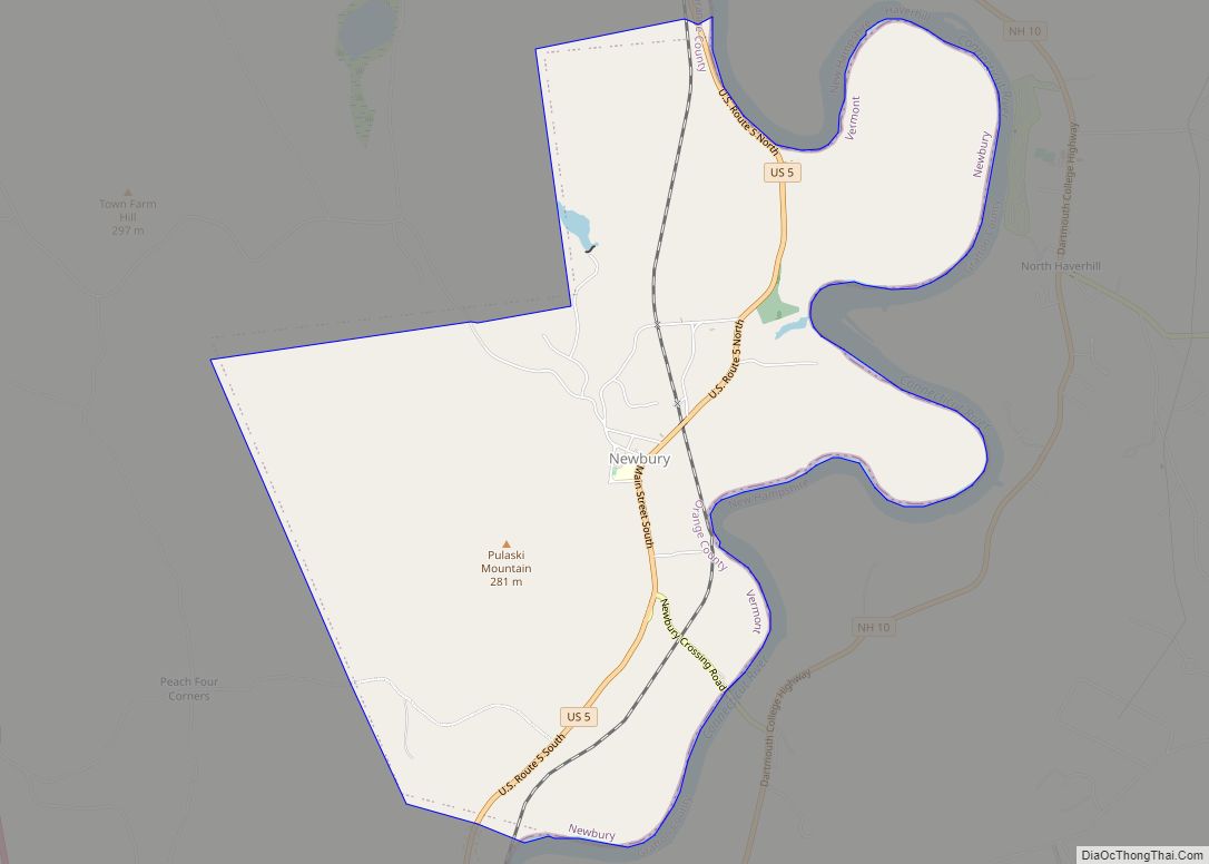
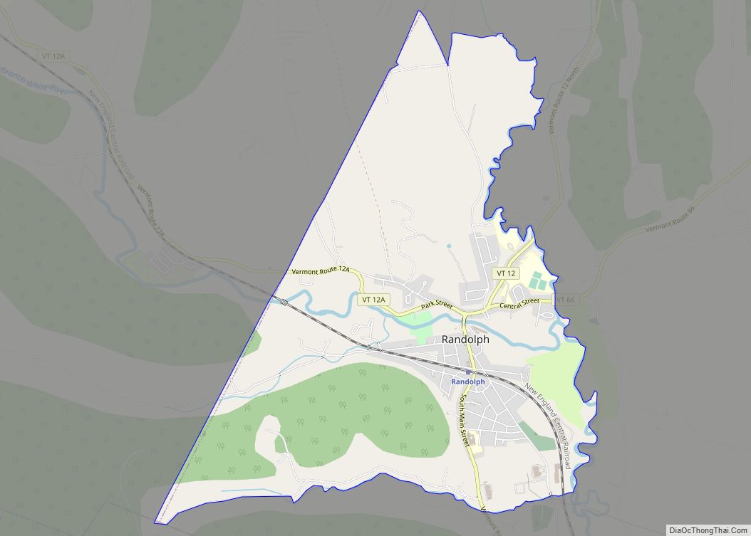
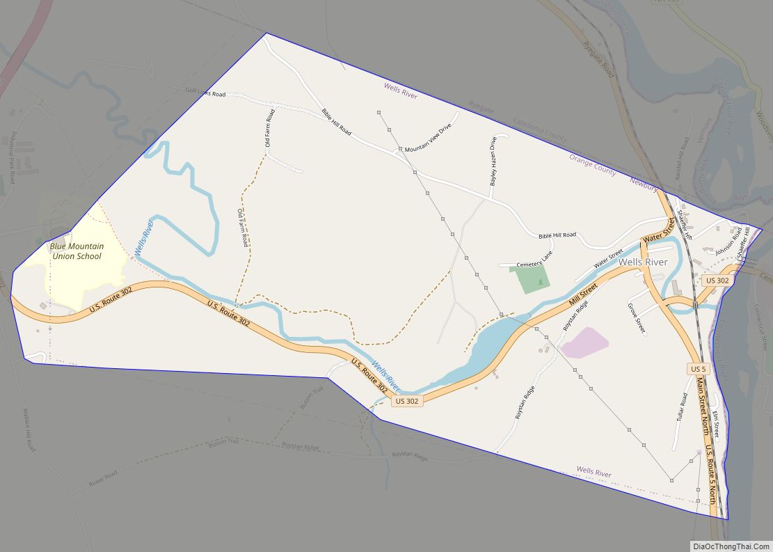
Orange County is a county located in the U.S. state of Vermont. As of the 2020 census, the population was 29,277. Its shire town (county seat) is the town of Chelsea. Orange County was organized on February 2, 1781, as an original county within the state.
| Name: | Orange County |
|---|---|
| FIPS code: | 50-017 |
| State: | Vermont |
| Founded: | 1781 |
| Named for: | William of Orange (William III of England) |
| Largest town: | Randolph |
| Total Area: | 692 sq mi (1,790 km²) |
| Land Area: | 687 sq mi (1,780 km²) |
| Total Population: | 29,277 |
| Population Density: | 42/sq mi (16/km²) |
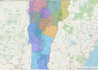
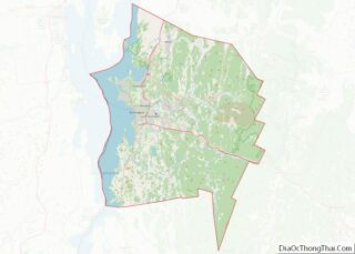
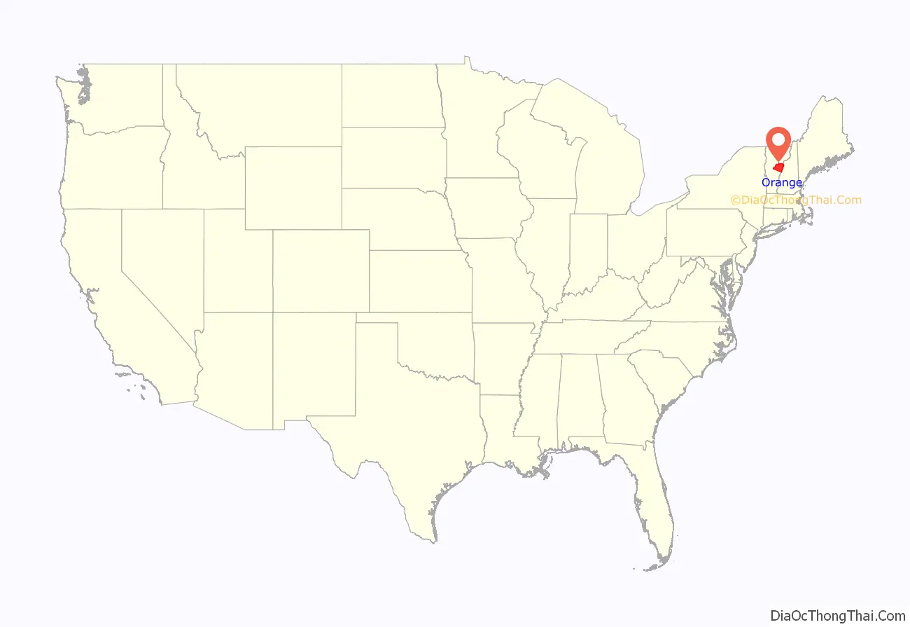
Orange County location map. Where is Orange County?
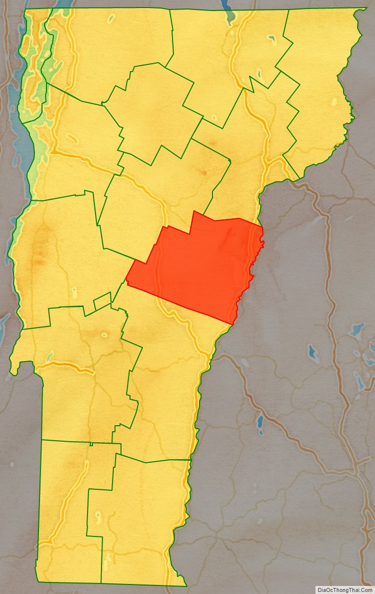
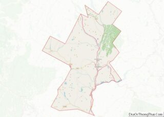
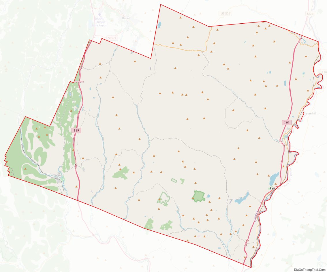
Orange County Road Map
Geography
According to the U.S. Census Bureau, the county has an area of 692 square miles (1,790 km), of which 687 square miles (1,780 km) is land and 5.2 square miles (13 km) (0.8%) is water.
Adjacent counties
- Caledonia County – northeast
- Grafton County, New Hampshire – east
- Windsor County – southwest
- Addison County – west
- Washington County – northwest
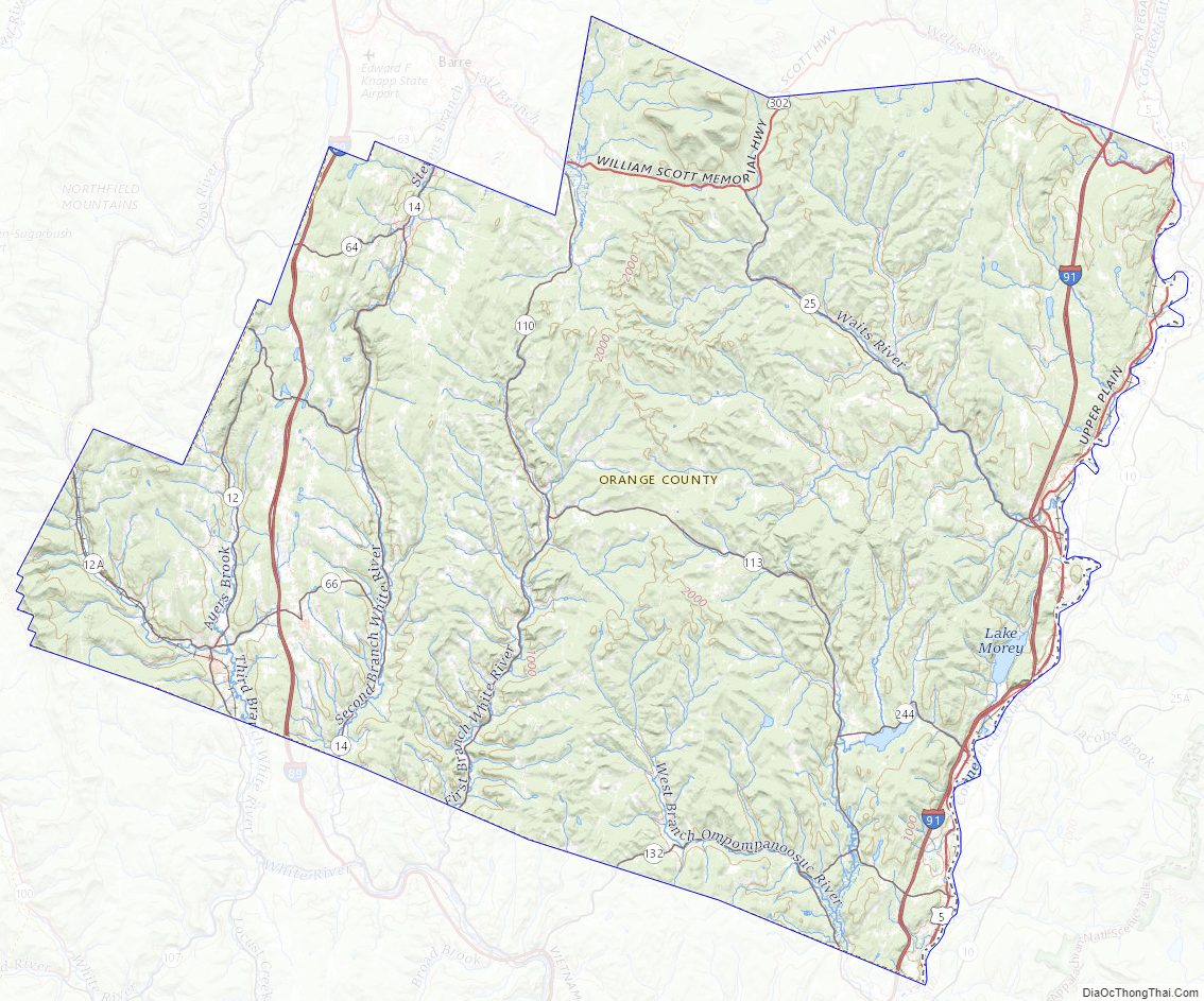
Orange County Topographic Map
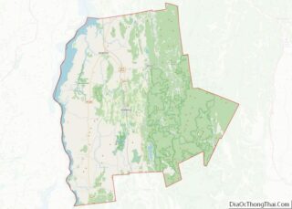
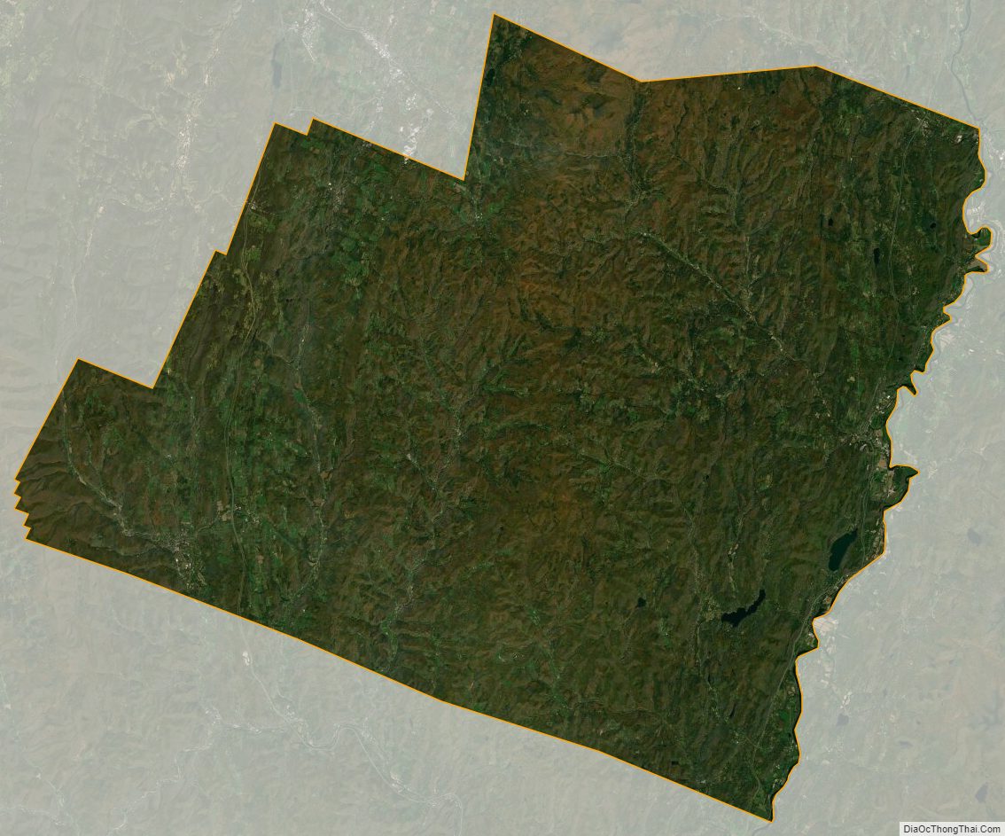
Orange County Satellite Map
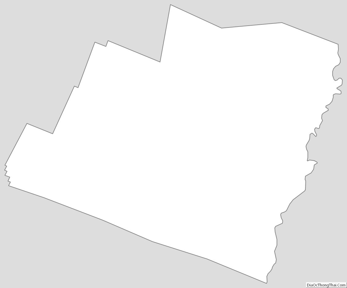
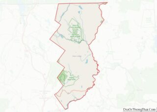
Orange County Outline Map