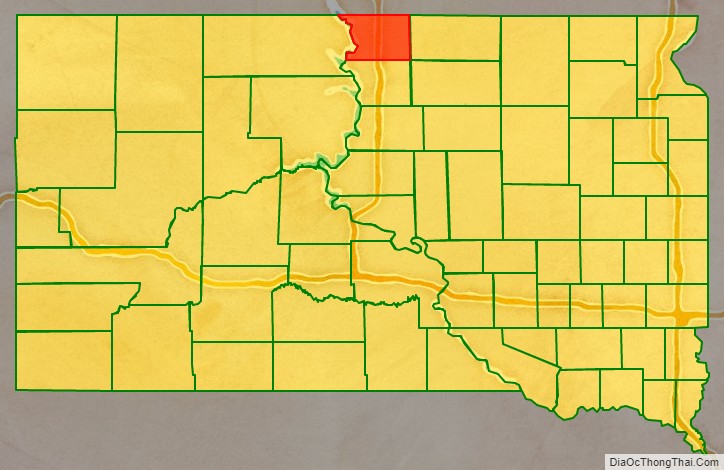
Campbell County is a county in the U.S. state of South Dakota. As of the 2020 census, the population was 1,377, making it the fourth-least populous county in South Dakota. Its county seat is Mound City. The county was created in 1873 and organized in 1884. It was named for Norman B. Campbell, a Dakota Territory legislator in 1873 and son of General Charles T. Campbell.
| Name: | Campbell County |
|---|---|
| FIPS code: | 46-021 |
| State: | South Dakota |
| Founded: | 1873 |
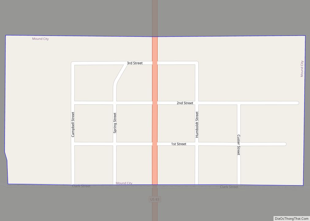
| Seat: | Mound City |
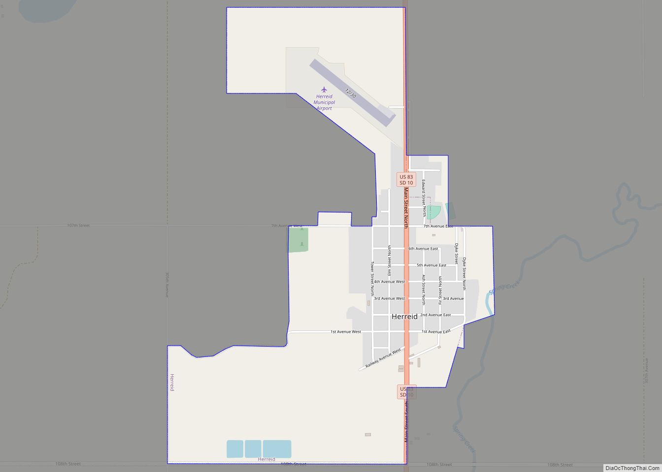
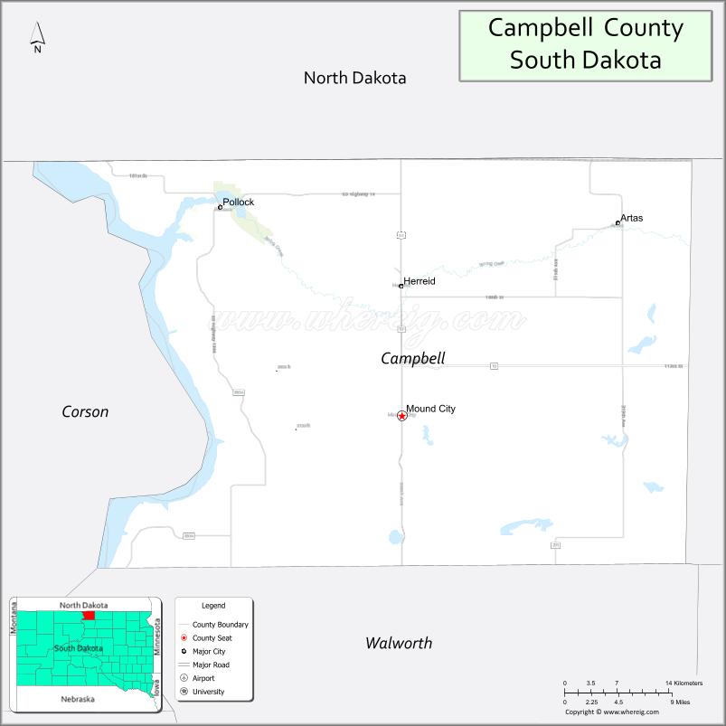
| Largest city: | Herreid |
| Total Area: | 771 sq mi (2,000 km²) |
| Land Area: | 734 sq mi (1,900 km²) |
| Total Population: | 1,377 |
| Population Density: | 1.8/sq mi (0.69/km²) |
| Time zone: | UTC−6 (Central) |
| Summer Time Zone (DST): | UTC−5 (CDT) |
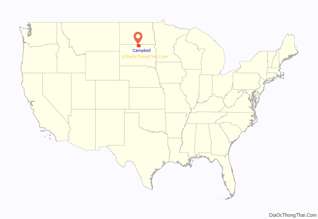
Campbell County location map. Where is Campbell County?
History
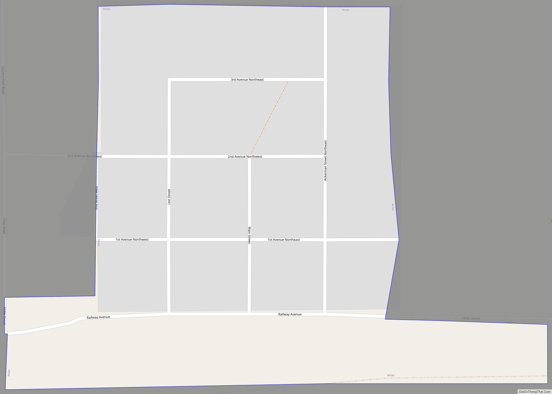
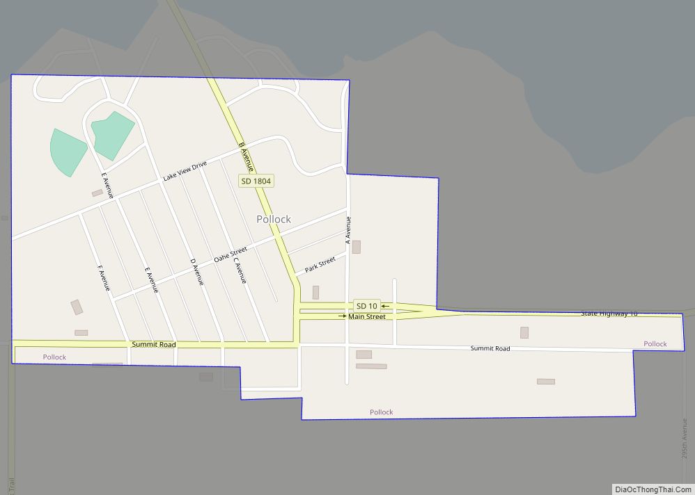
Campbell County was formed in 1873 and organized in 1884. La Grace served as the first county seat; in 1888 the seat was transferred to Mound City. By 1911 the communities of Artas, Herreid and Pollock had the largest populations because they were located on a branch of the Soo Line.
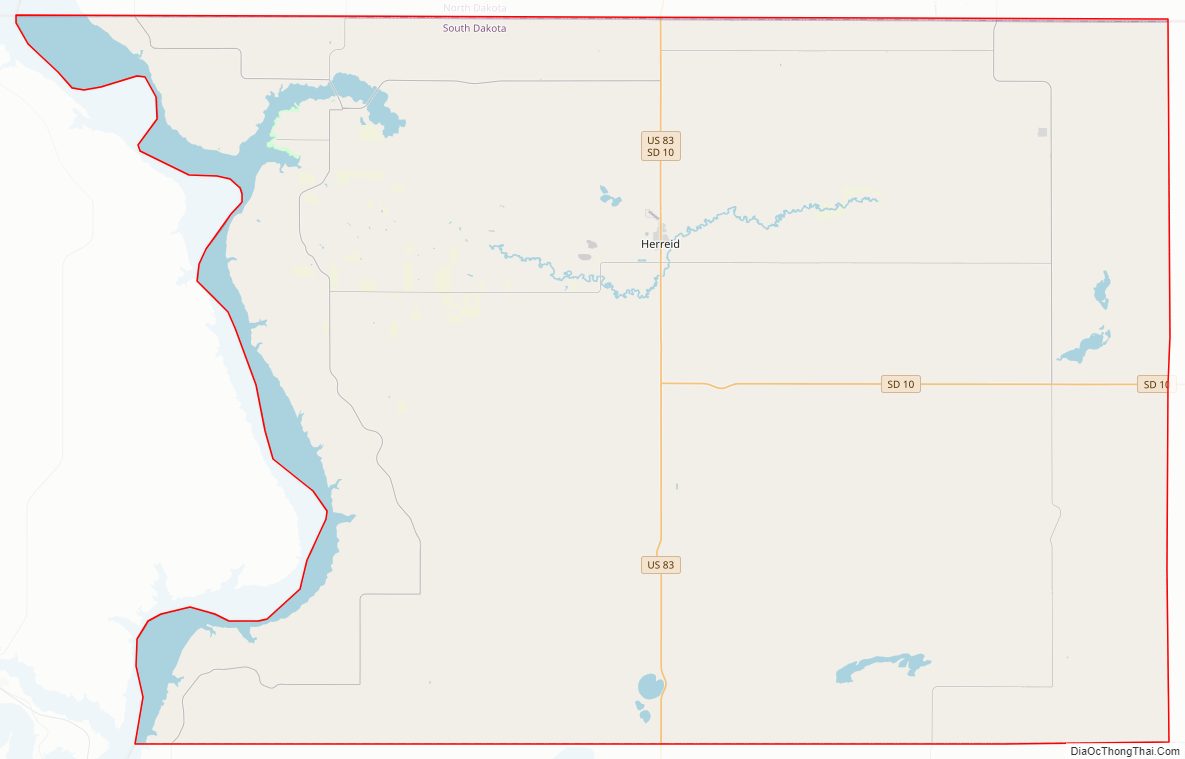
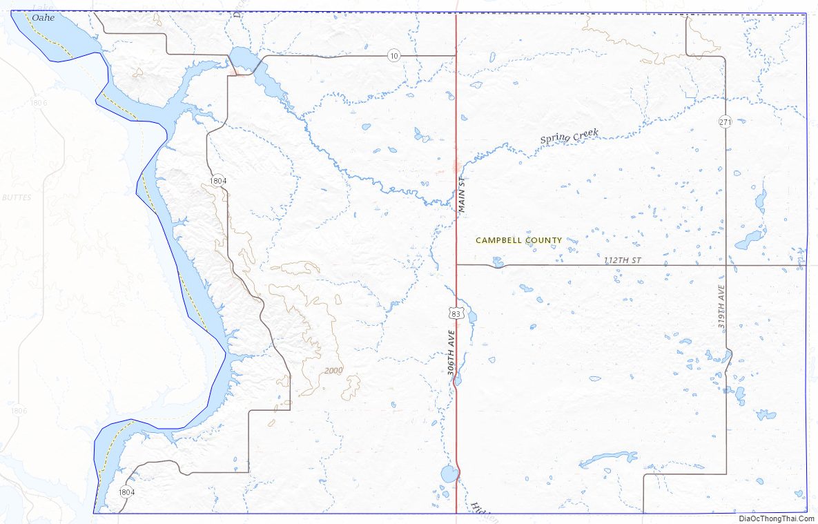
Campbell County Road Map
Geography
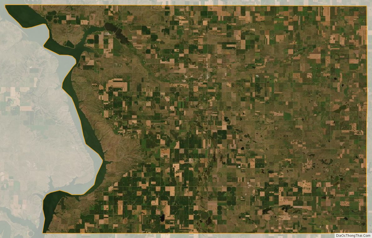
Campbell County lies on the north side of South Dakota; its north boundary line abuts the south boundary line of the state of North Dakota. The Missouri River flows southward along the county’s west boundary line. The county terrain consists of semi-arid low rolling hills, a portion of which is dedicated to agriculture. The terrain slopes to the south and east, with its highest point occurring on the county’s north boundary line, toward the NE corner: 2,060′ (628m). The county has a total area of 771 square miles (2,000 km), of which 734 square miles (1,900 km) is land and 37 square miles (96 km) (4.8%) is water.
The eastern portion of South Dakota’s counties (48 of 66) observe Central Time; the western counties (18 of 66) observe Mountain Time. Campbell County is the westernmost of the SD counties to observe Central Time.
Major Highways
- U.S. Highway 83
- South Dakota Highway 10
- South Dakota Highway 271
- South Dakota Highway 1804
Adjacent Counties
- Emmons County, North Dakota – north
- McIntosh County, North Dakota – northeast
- McPherson County – east
- Walworth County – south
- Corson County – west (boundary of Mountain Time)
Protected areas
- Pocasse National Wildlife Refuge
- Rogo Bay State Game Production Area
- Salt Lake State Game Production Area
- Sand Lake State Game Production Area
- Shaw Creek State Lakeside Use Area
- West Pollock State Recreation Area
Lakes
- McClarem Lake
- Lake Oahe (part)
- Lake Pocasse
- Salt Lake
- Sand Lake
Campbell County Topographic Map
Campbell County Satellite Map
Campbell County Outline Map