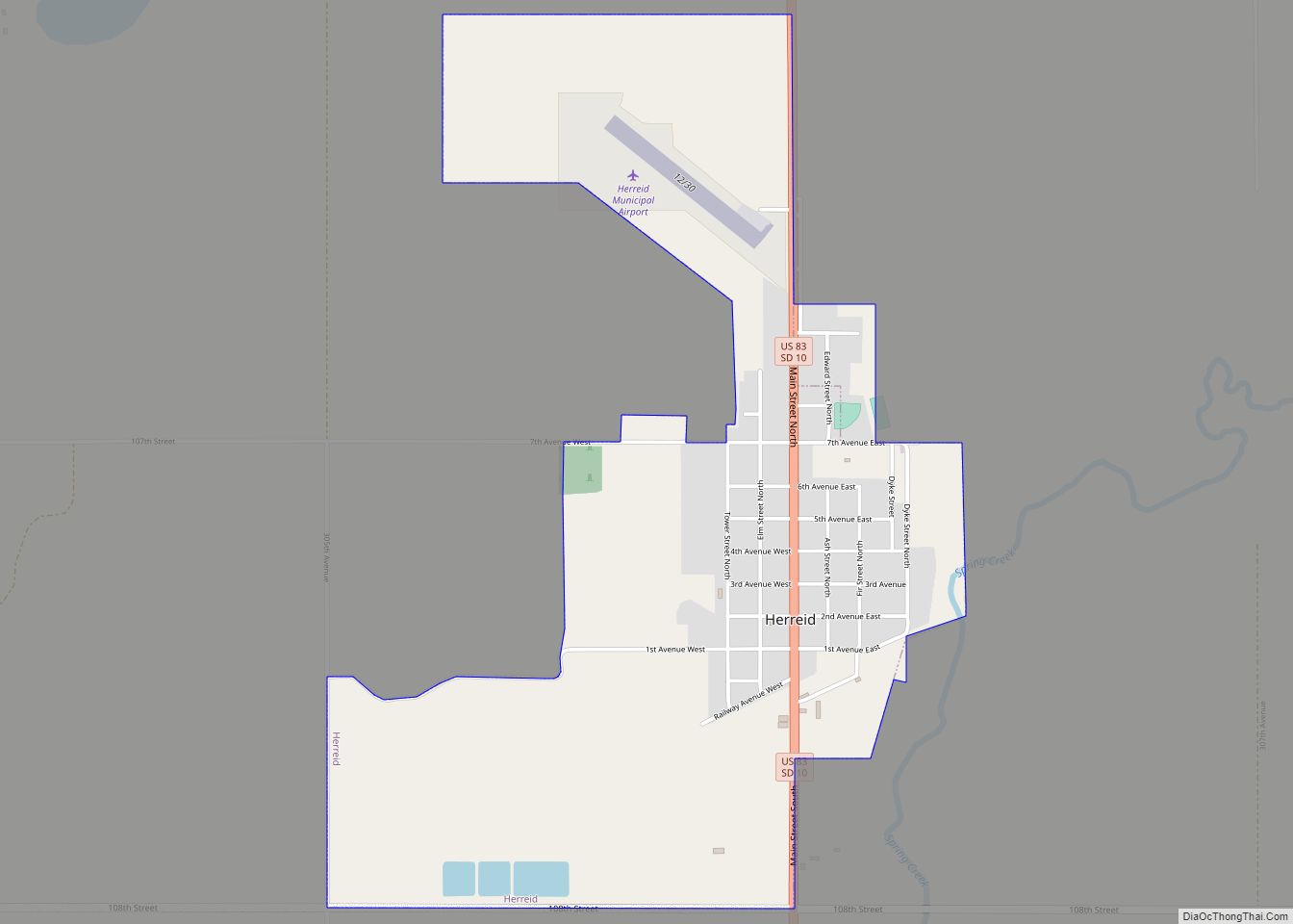
Herreid is a city in Campbell County, South Dakota, United States. The population was 416 at the 2020 census.
Herreid was laid out in 1901 when a branch of the Soo Line reached the city, and named after Charles N. Herreid, fourth Governor of South Dakota.
| Name: | Herreid city |
|---|---|
| LSAD Code: | 25 |
| LSAD Description: | city (suffix) |
| State: | South Dakota |
| County: | Campbell County |
| Founded: | 1901 |
| Incorporated: | 1912 |
| Elevation: | 1,686 ft (514 m) |
| Total Area: | 1.44 sq mi (3.72 km²) |
| Land Area: | 1.44 sq mi (3.72 km²) |
| Water Area: | 0.00 sq mi (0.00 km²) |
| Total Population: | 416 |
| Population Density: | 289.90/sq mi (111.96/km²) |
| ZIP code: | 57632 |
| Area code: | 605 |
| FIPS code: | 4628340 |
| GNISfeature ID: | 1255523 |
| Website: | http://www.herreidsd.com/ |
Online Interactive Map
Click on ![]() to view map in "full screen" mode.
to view map in "full screen" mode.
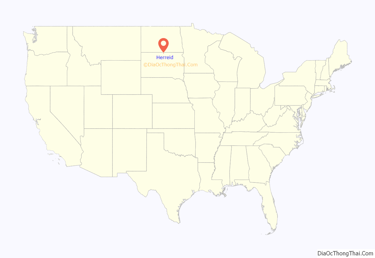
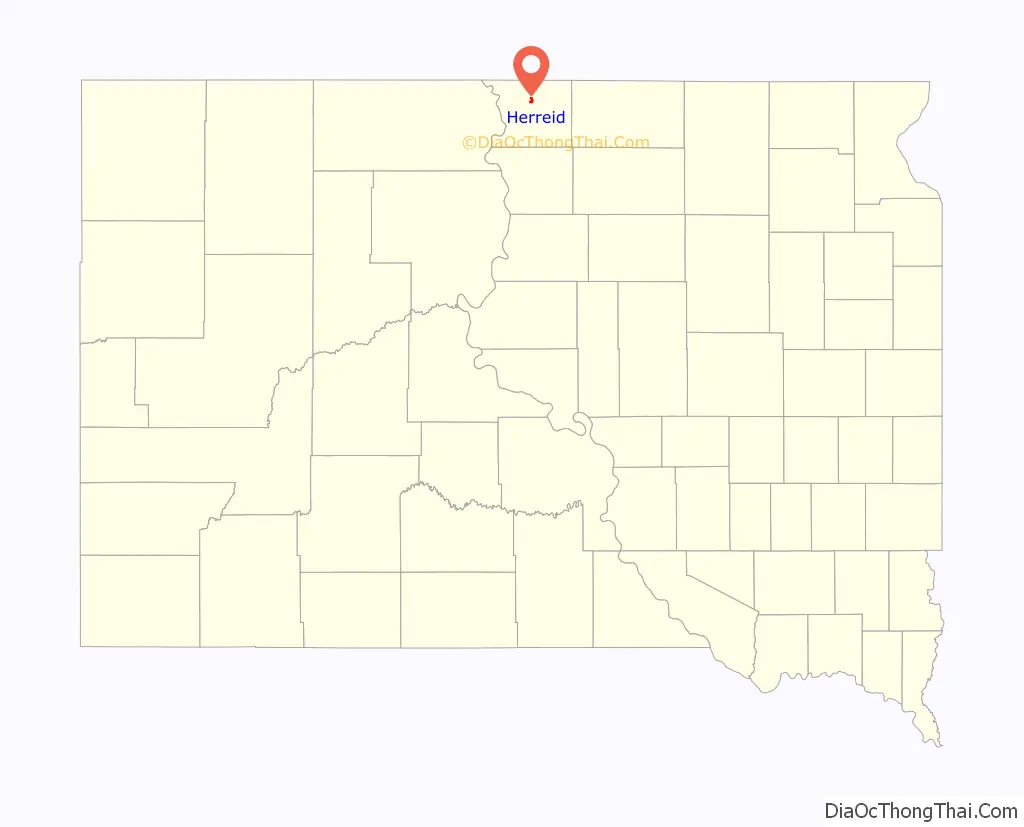
Herreid location map. Where is Herreid city?
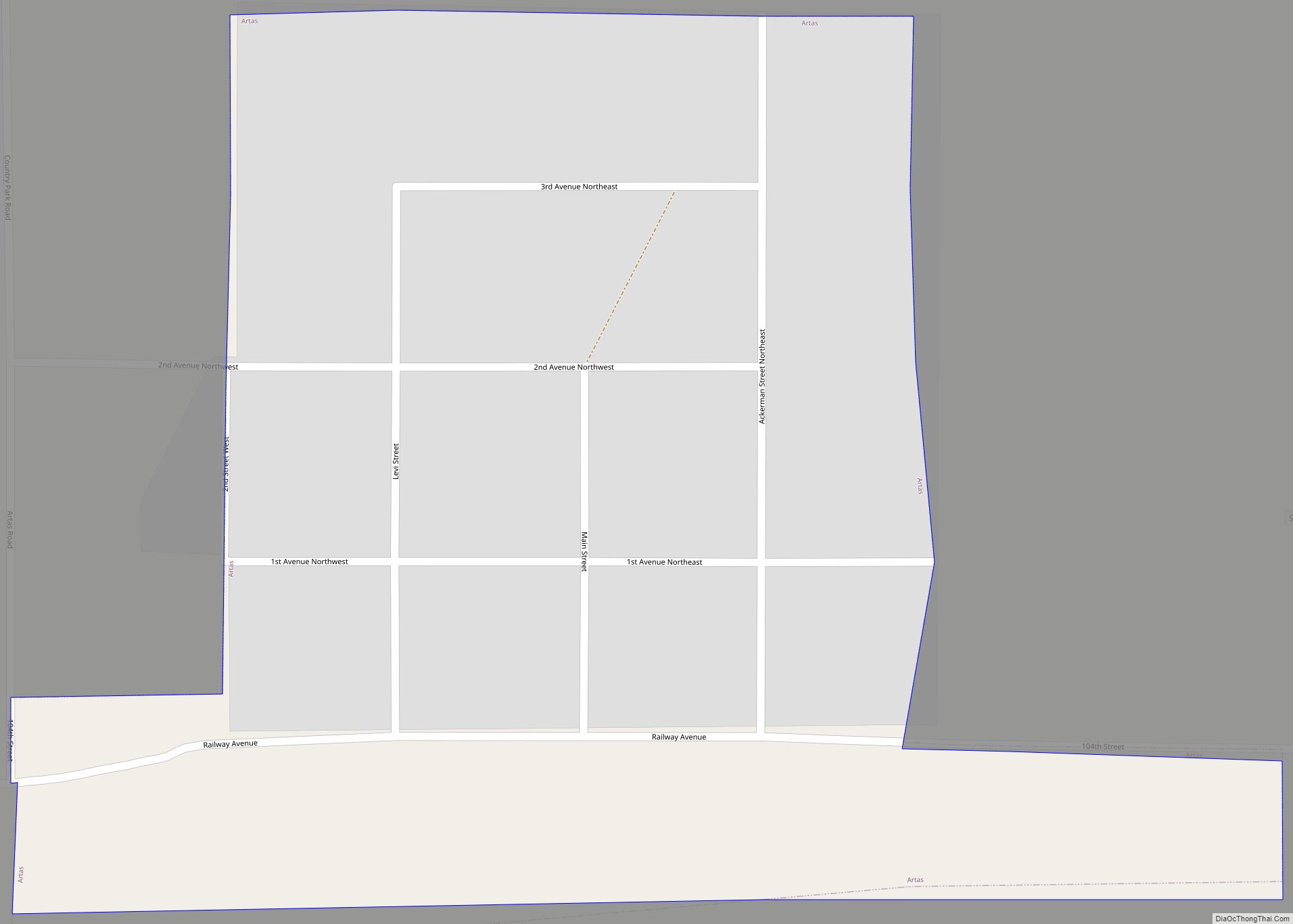
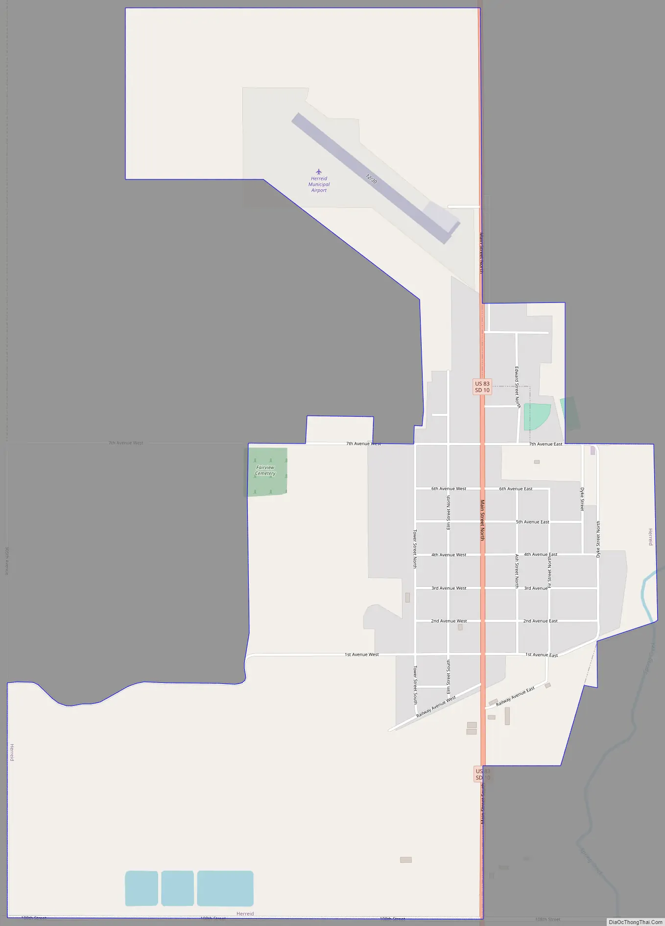
Herreid Road Map
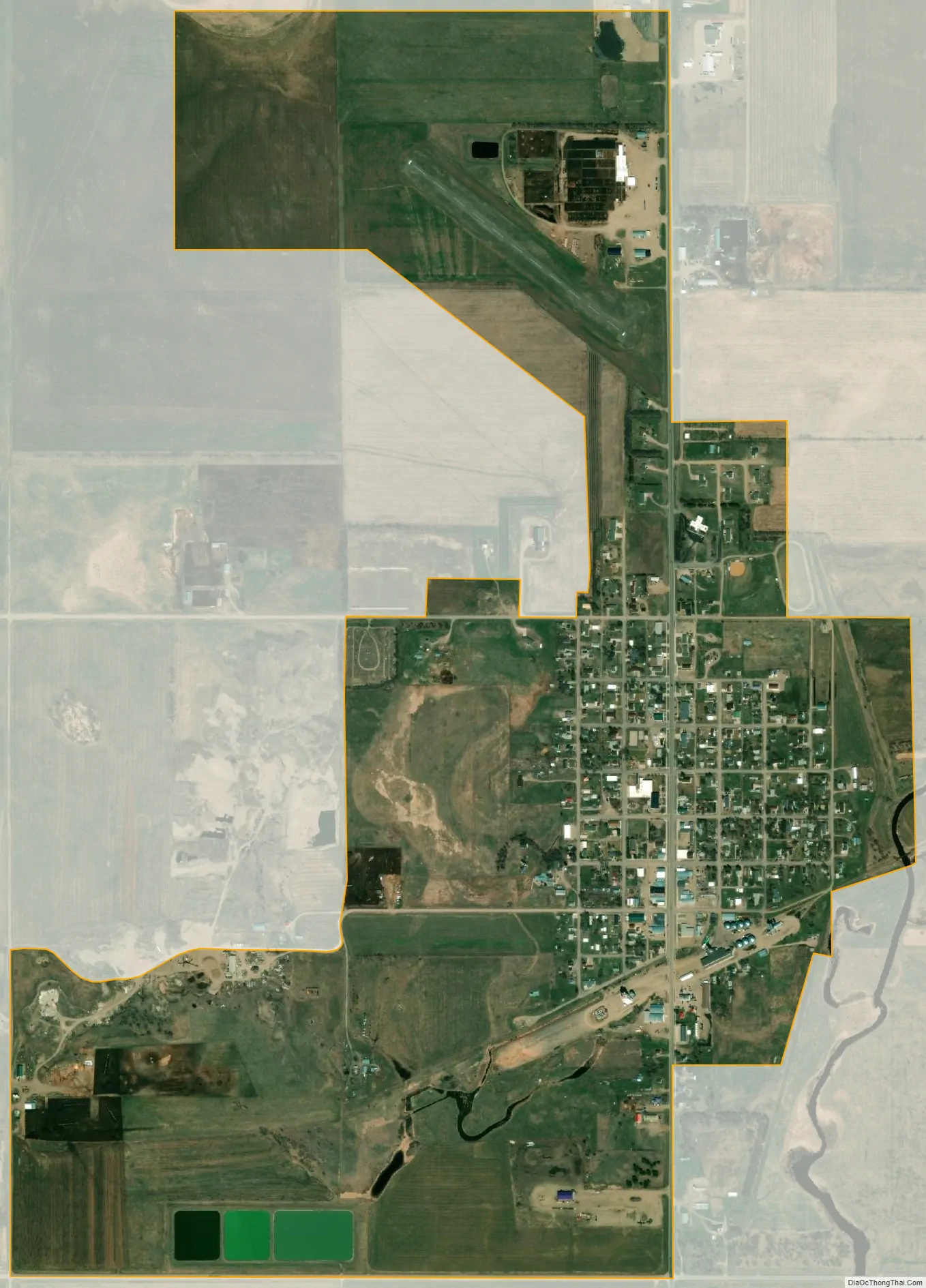
Herreid city Satellite Map
Geography
According to the United States Census Bureau, the city has a total area of 1.39 square miles (3.60 km), all land.
Herreid has been assigned the ZIP code 57632 and the FIPS place code 28340. U.S. Route 83 is the main thoroughfare, running from north to south through the town.
See also
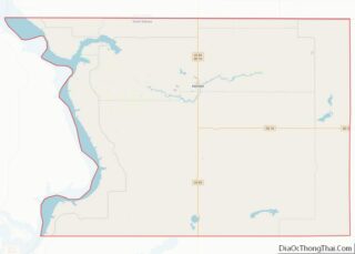
Map of South Dakota State and its subdivision:- Aurora
- Beadle
- Bennett
- Bon Homme
- Brookings
- Brown
- Brule
- Buffalo
- Butte
- Campbell
- Charles Mix
- Clark
- Clay
- Codington
- Corson
- Custer
- Davison
- Day
- Deuel
- Dewey
- Douglas
- Edmunds
- Fall River
- Faulk
- Grant
- Gregory
- Haakon
- Hamlin
- Hand
- Hanson
- Harding
- Hughes
- Hutchinson
- Hyde
- Jackson
- Jerauld
- Jones
- Kingsbury
- Lake
- Lawrence
- Lincoln
- Lyman
- Marshall
- McCook
- McPherson
- Meade
- Mellette
- Miner
- Minnehaha
- Moody
- Pennington
- Perkins
- Potter
- Roberts
- Sanborn
- Shannon
- Spink
- Stanley
- Sully
- Todd
- Tripp
- Turner
- Union
- Walworth
- Yankton
- Ziebach
- Alabama
- Alaska
- Arizona
- Arkansas
- California
- Colorado
- Connecticut
- Delaware
- District of Columbia
- Florida
- Georgia
- Hawaii
- Idaho
- Illinois
- Indiana
- Iowa
- Kansas
- Kentucky
- Louisiana
- Maine
- Maryland
- Massachusetts
- Michigan
- Minnesota
- Mississippi
- Missouri
- Montana
- Nebraska
- Nevada
- New Hampshire
- New Jersey
- New Mexico
- New York
- North Carolina
- North Dakota
- Ohio
- Oklahoma
- Oregon
- Pennsylvania
- Rhode Island
- South Carolina
- South Dakota
- Tennessee
- Texas
- Utah
- Vermont
- Virginia
- Washington
- West Virginia
- Wisconsin
- Wyoming