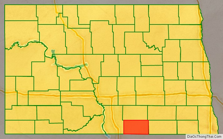
McIntosh County is a county in the U.S. state of North Dakota. As of the 2020 census, the population was 2,530. Its county seat is Ashley. The county is notable for being the county with the highest percentage of German-Americans in the United States, with over 76% of the county’s residents being of German descent as of 2010.
| Name: | McIntosh County |
|---|---|
| FIPS code: | 38-051 |
| State: | North Dakota |
| Founded: | 1883 |
| Named for: | Edward H. McIntosh |
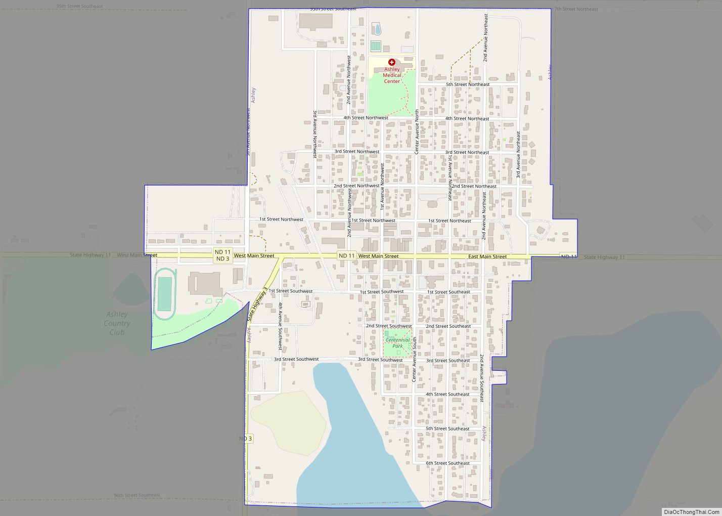
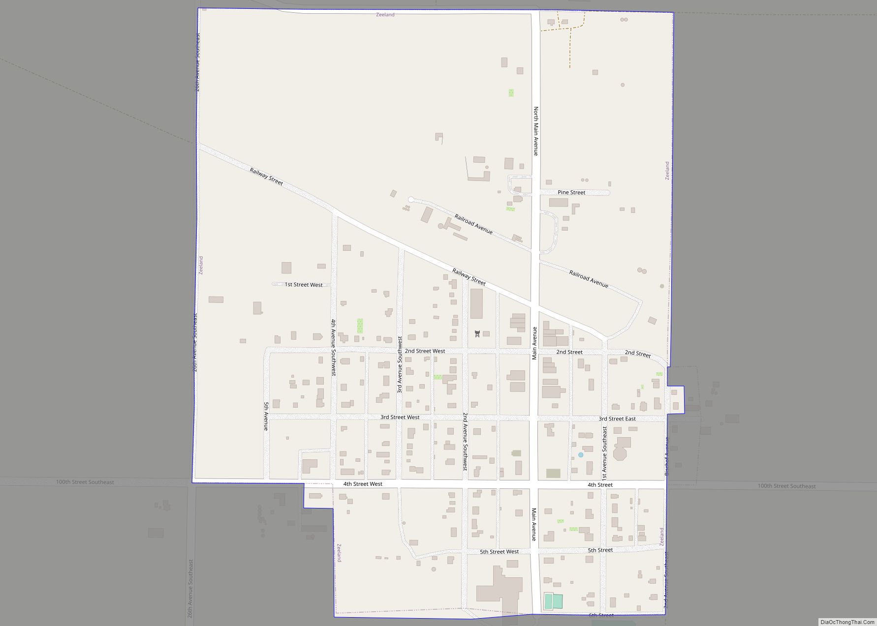
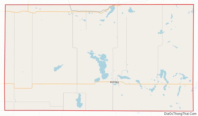
| Seat: | Ashley |
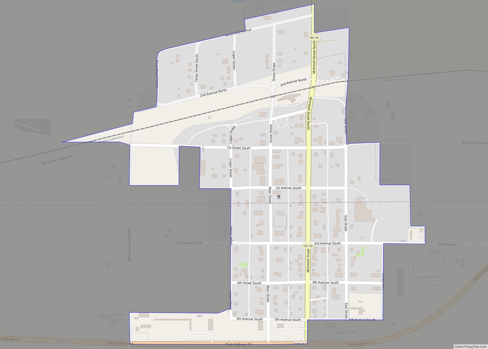
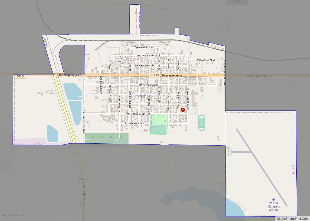
| Largest city: | Wishek |
| Total Area: | 995 sq mi (2,580 km²) |
| Land Area: | 975 sq mi (2,530 km²) |
| Total Population: | 2,530 |
| Population Density: | 2.5/sq mi (0.98/km²) |
| Time zone: | UTC−6 (Central) |
| Summer Time Zone (DST): | UTC−5 (CDT) |
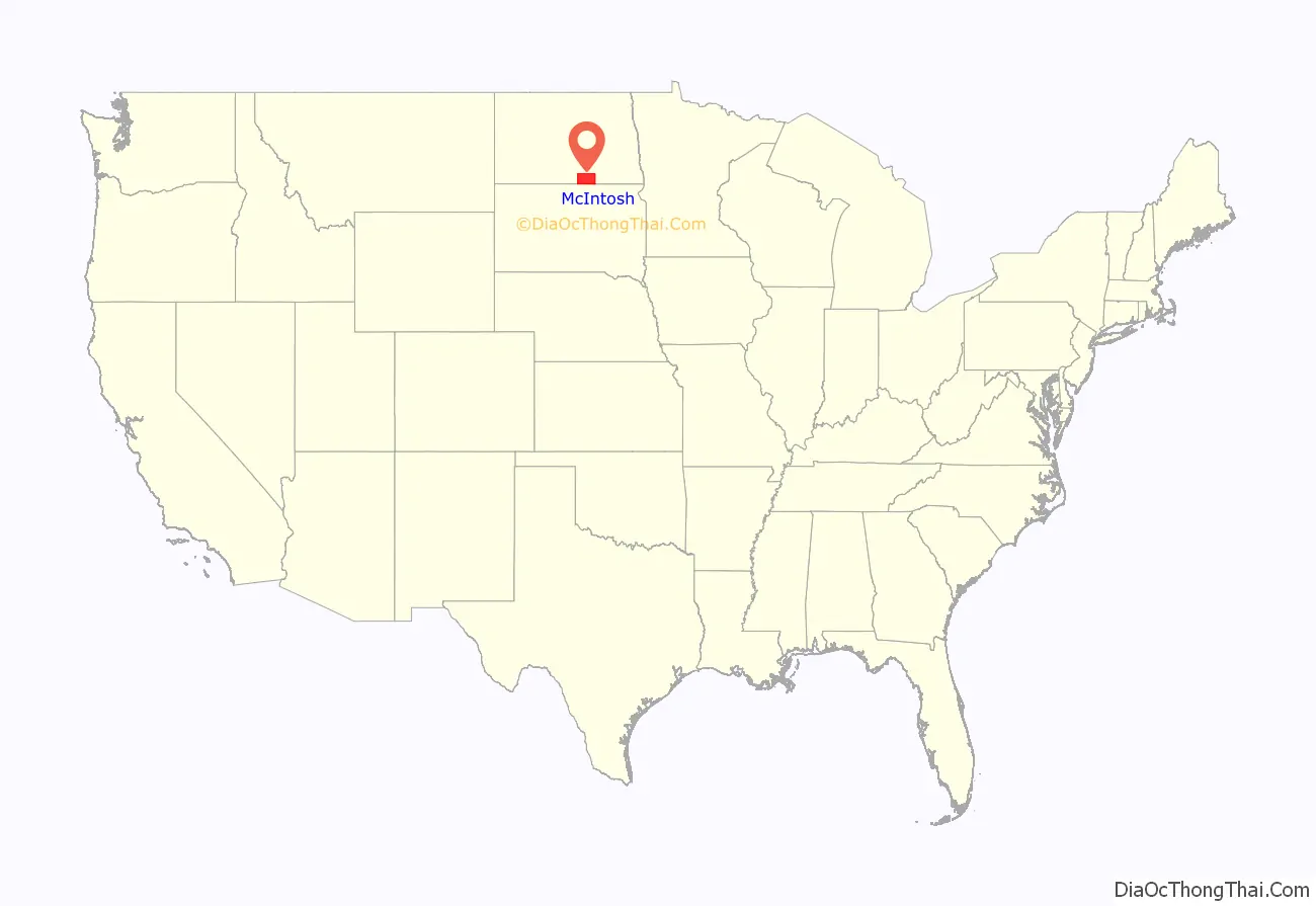
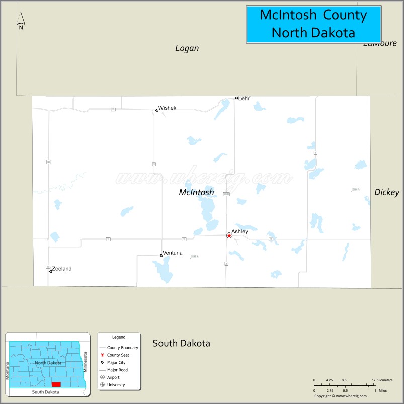
McIntosh County location map. Where is McIntosh County?
History
The Dakota Territory legislature created the county on March 9, 1883, with areas partitioned from Campbelll, Logan, and McPherson counties, and with some previously-unorganized areas. It was named for Edward H. McIntosh, a territorial legislator at the time. The county seat was originally Hoskins, but changed in 1888 after everything in Hoskins but the school was moved three miles east to the new Soo Line Railroad townsite of Ashley. The county government was not organized at that date, but the new county was not attached to another county for judicial or administrative purposes. Its government was organized on October 4, 1884.
McIntosh County Road Map
Geography
McIntosh County lies on the south line of North Dakota. Its south boundary line abuts the north boundary line of the state of South Dakota. The terrain consists of rolling hills dotted with lakes and ponds, and with occasional protuberances. The terrain slopes to the south, with its highest point on the north line at 2,156′ (657m) ASL. The county has a total area of 995 square miles (2,580 km), of which 975 square miles (2,530 km) is land and 20 square miles (52 km) (2.0%) is water.
Major highways
- North Dakota Highway 3
- North Dakota Highway 11
- North Dakota Highway 13
Adjacent counties
- Logan County – north
- LaMoure County – northeast
- Dickey County – east
- McPherson County, South Dakota – south
- Campbell County, South Dakota – southwest
- Emmons County – west
Protected areas
- Camp Lake State Game Management Area
- Doyle Memorial State Recreation Area
- Green Lake State Game Management Area
- McIntosh County State Wildlife Management Area
- National Waterfowl Production Area
Lakes
- Camp Lake
- Coldwater Lake
- Goose Lake
- Green Lake
- Kislingburg Lake
- Lake Hoskins
- May Lake
- Miller Lake
- Pudwill Lake
- Salt Lake
- Tschetter Lake
McIntosh County Topographic Map
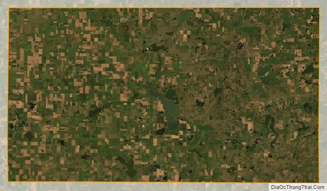
McIntosh County Satellite Map
McIntosh County Outline Map