| Name: | Carter County |
|---|---|
| FIPS code: | 30-011 |
| State: | Montana |
| Founded: | 1917 |
| Named for: | Thomas H. Carter |
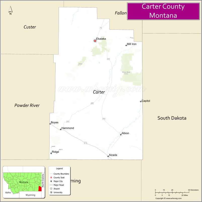
| Seat: | Ekalaka |
| Largest town: | Ekalaka |
| Total Area: | 3,348 sq mi (8,670 km²) |
| Land Area: | 3,341 sq mi (8,650 km²) |
| Total Population: | 1,415 |
| Population Density: | 0.42/sq mi (0.16/km²) |
| Time zone: | UTC−7 (Mountain) |
| Summer Time Zone (DST): | UTC−6 (MDT) |
| Website: | www.cartercountymt.info |
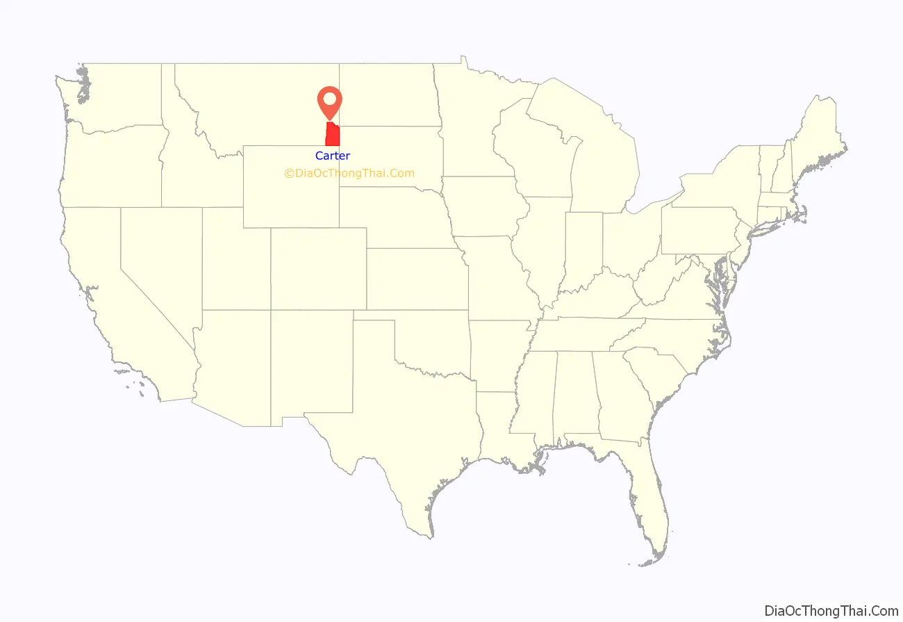
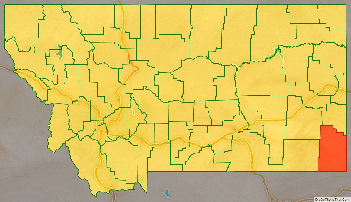
Carter County location map. Where is Carter County?
History
Carter County was named for Thomas Henry Carter, the state’s first congressman (representative in Congress from the Montana Territory, followed by first representative from the state of Montana to the US House of Representatives). Prior to settlement the land of Carter County was occupied by the Sioux tribe.
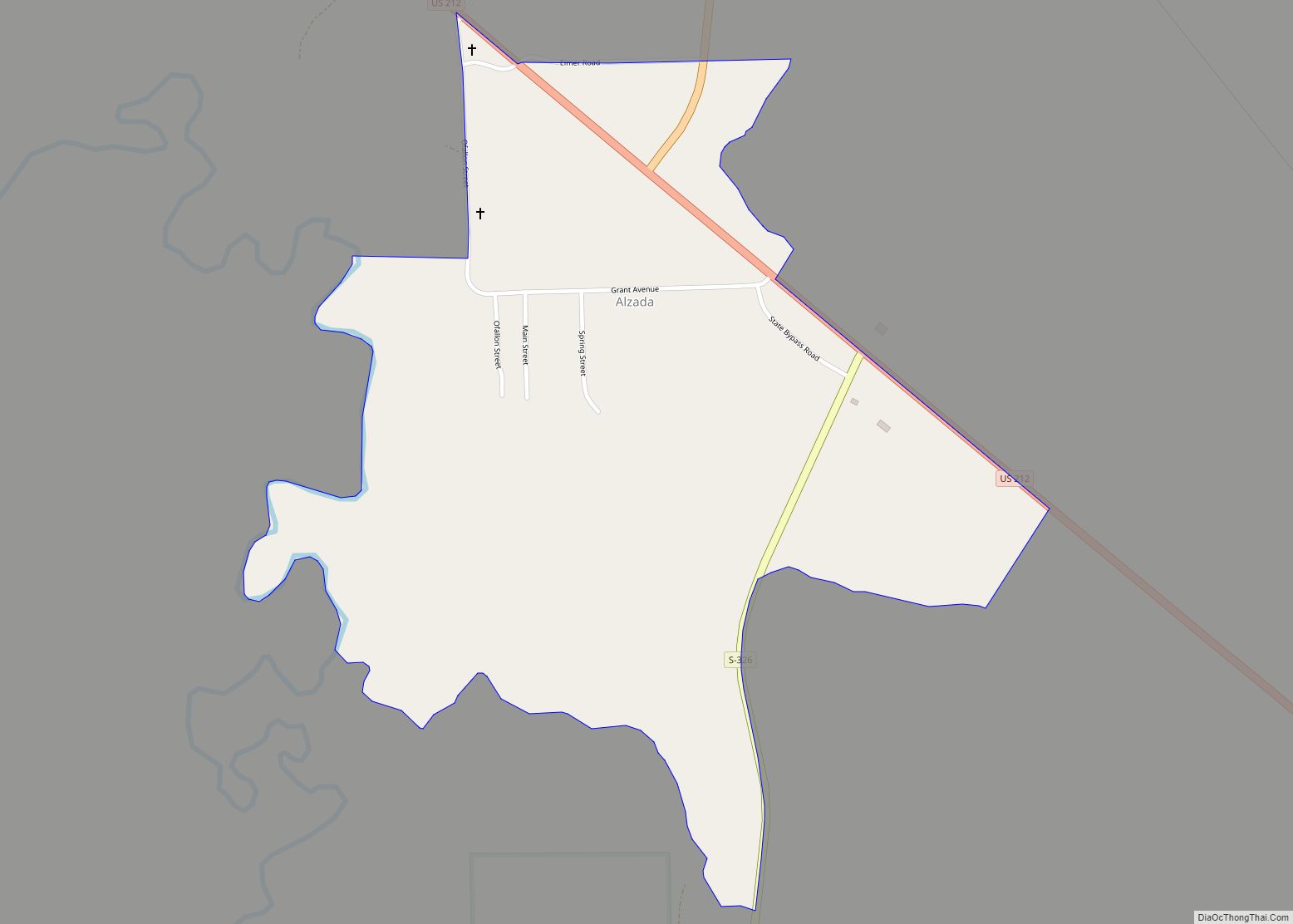
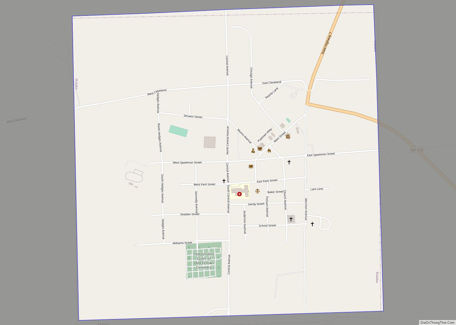
Carter County Road Map
Geography
According to the United States Census Bureau, the county has a total area of 3,348 square miles (8,670 km), of which 3,341 square miles (8,650 km) is land and 7.5 square miles (19 km) (0.2%) is water.
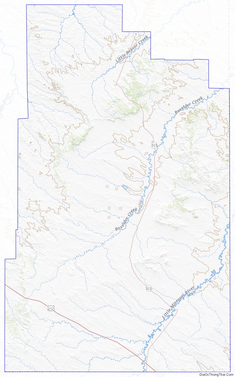
Medicine Rocks State Park is located 14 miles north of Ekalaka. Weathering has given the rocks an unusual texture. The site was used by Indian hunting parties.
Adjacent counties
- Powder River County – west
- Custer County – northwest
- Fallon County – north
- Harding County, South Dakota – east
- Butte County, South Dakota – southeast
- Crook County, Wyoming – south
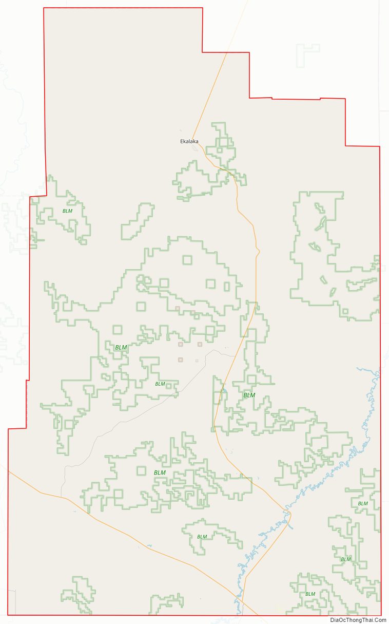
National protected area
- Custer National Forest (part)
Carter County Topographic Map
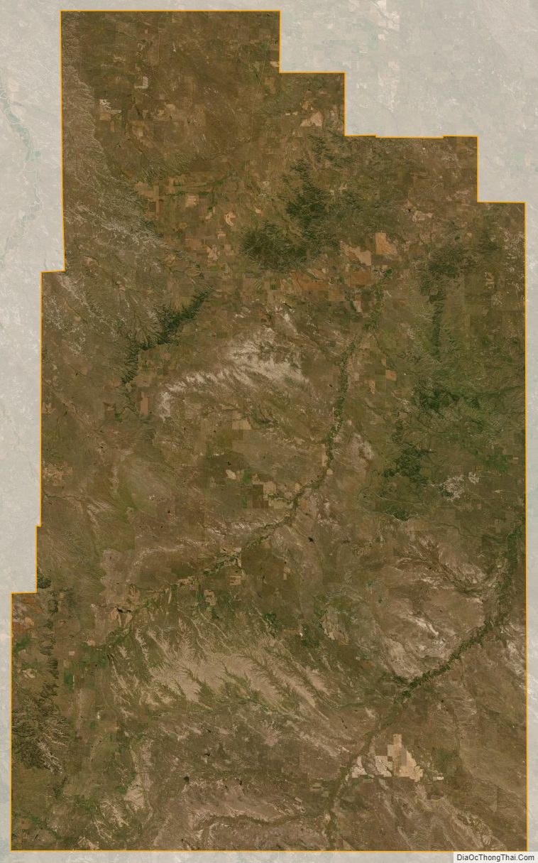
Carter County Satellite Map
Carter County Outline Map