Cass County is a county located in the U.S. state of Illinois. As of the 2010 United States Census, the population was 13,642. Its county seat is Virginia. It is the home of the Jim Edgar Panther Creek State Fish and Wildlife Area.
| Name: | Cass County |
|---|---|
| FIPS code: | 17-017 |
| State: | Illinois |
| Founded: | 1837 |
| Named for: | Lewis Cass |
| Seat: | Virginia |
| Largest city: | Beardstown |
| Total Area: | 384 sq mi (990 km²) |
| Land Area: | 376 sq mi (970 km²) |
| Total Population: | 13,642 |
| Population Density: | 36/sq mi (14/km²) |
| Time zone: | UTC−6 (Central) |
| Summer Time Zone (DST): | UTC−5 (CDT) |
| Website: | co.cass.il.us |
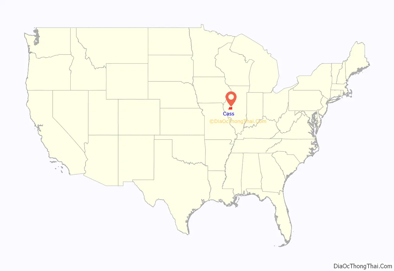
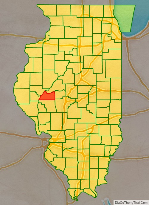
Cass County location map. Where is Cass County?
History
Cass County was formed in 1837 out of Morgan County. It was named for Lewis Cass, a general in the War of 1812, Governor of the Michigan Territory, and United States Secretary of State in 1860. Cass was serving as Andrew Jackson’s Secretary of War just before the County was named.
Cass County at the time of its creation.
In 1845, the county’s border was adjusted southward, enlarging it to its current size.
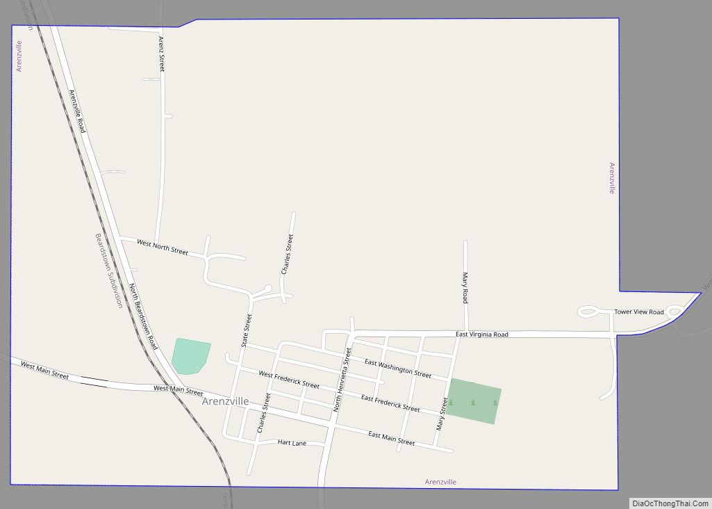
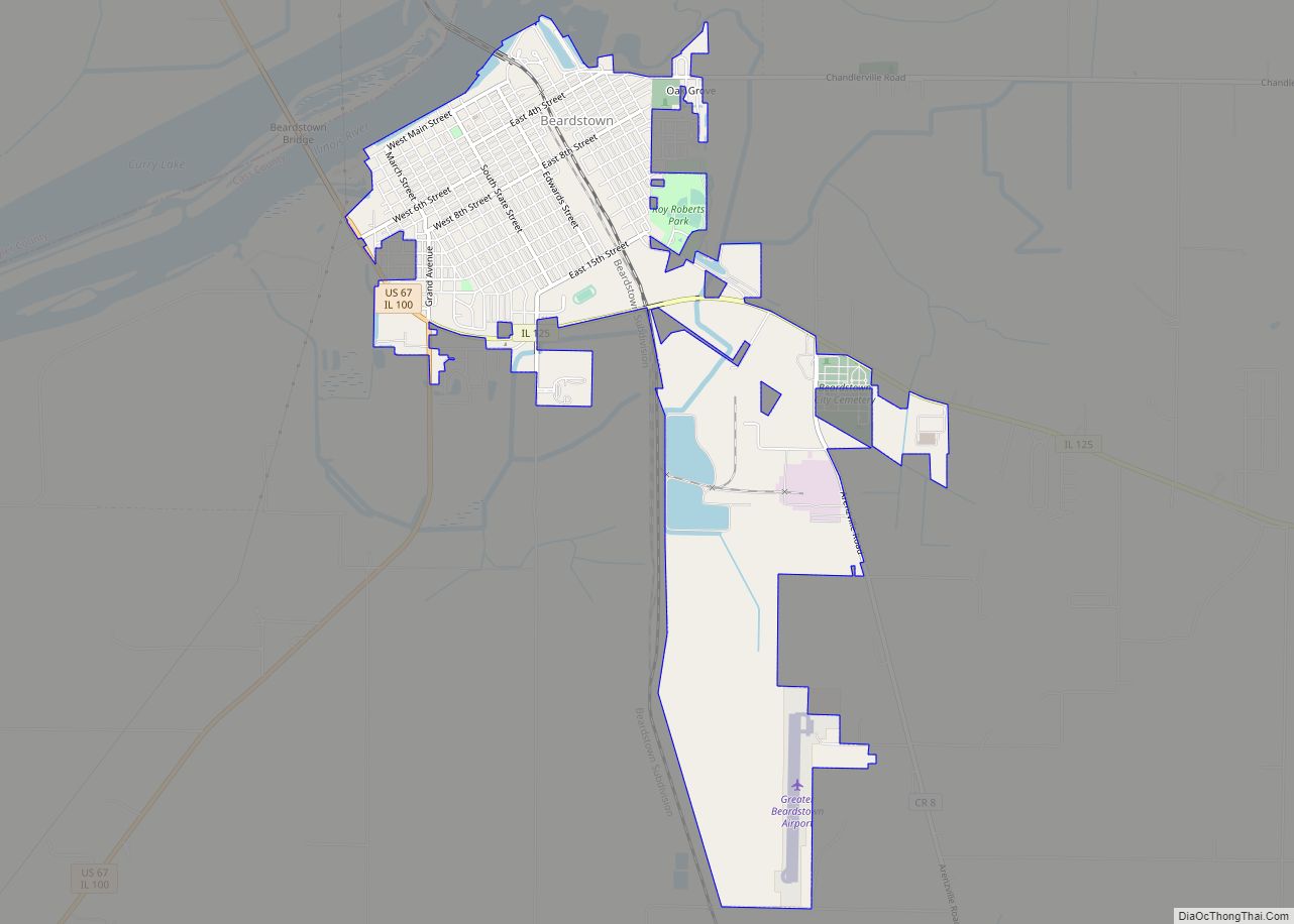
Cass County Road Map
Geography
According to the US Census Bureau, the county has a total area of 384 square miles (990 km), of which 376 square miles (970 km) is land and 7.9 square miles (20 km) (2.1%) is water.
Adjacent counties
- Mason County – northeast
- Menard County – east
- Sangamon County – southeast
- Morgan County – south
- Brown County – west
- Schuyler County – northwest
National protected area
- Meredosia National Wildlife Refuge (part)
Rivers
- Illinois River
- Little Sangamon River
- Sangamon River
Major highways
- US Route 67
- Illinois Route 78
- Illinois Route 100
- Illinois Route 125
