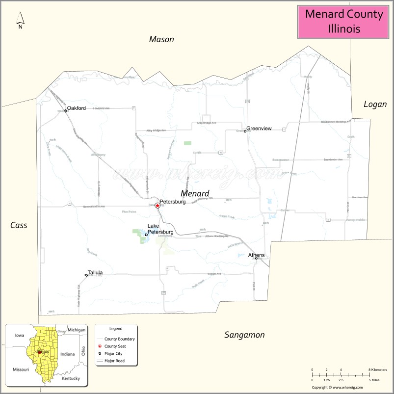
Menard County is a county in the U.S. state of Illinois. According to the 2010 United States Census, it had a population of 12,705. Its county seat is Petersburg. Menard County is part of the Springfield, Illinois, IL Metropolitan Statistical Area.
| Name: | Menard County |
|---|---|
| FIPS code: | 17-129 |
| State: | Illinois |
| Founded: | 1839 |
| Named for: | Pierre Menard |
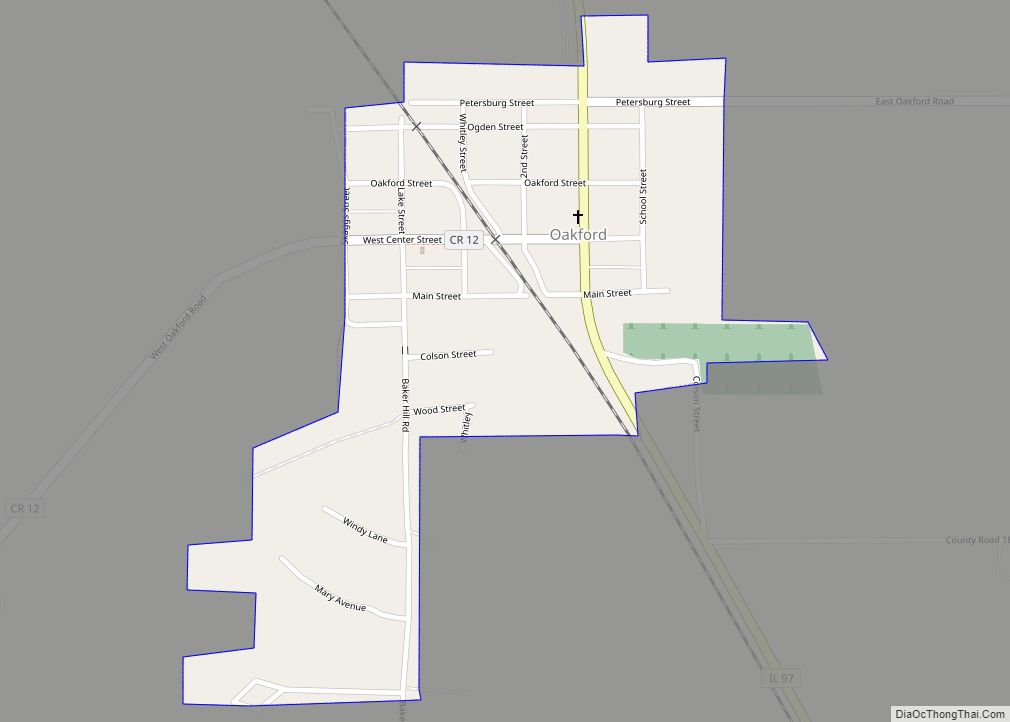
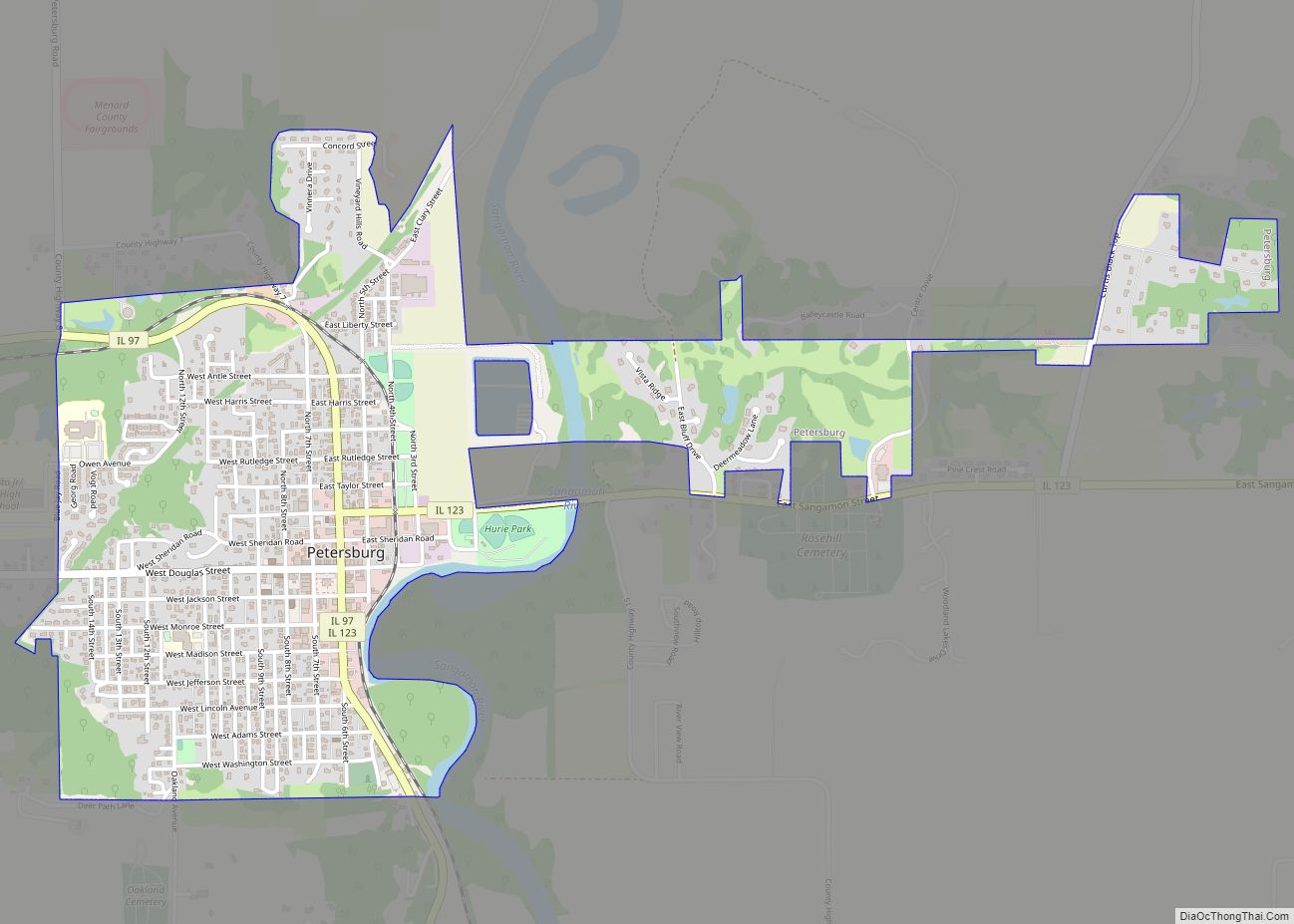
| Seat: | Petersburg |
| Largest city: | Petersburg |
| Total Area: | 315 sq mi (820 km²) |
| Land Area: | 314 sq mi (810 km²) |
| Total Population: | 12,705 |
| Population Density: | 40/sq mi (20/km²) |
| Time zone: | UTC−6 (Central) |
| Summer Time Zone (DST): | UTC−5 (CDT) |
| Website: | www.menardcountyil.com |
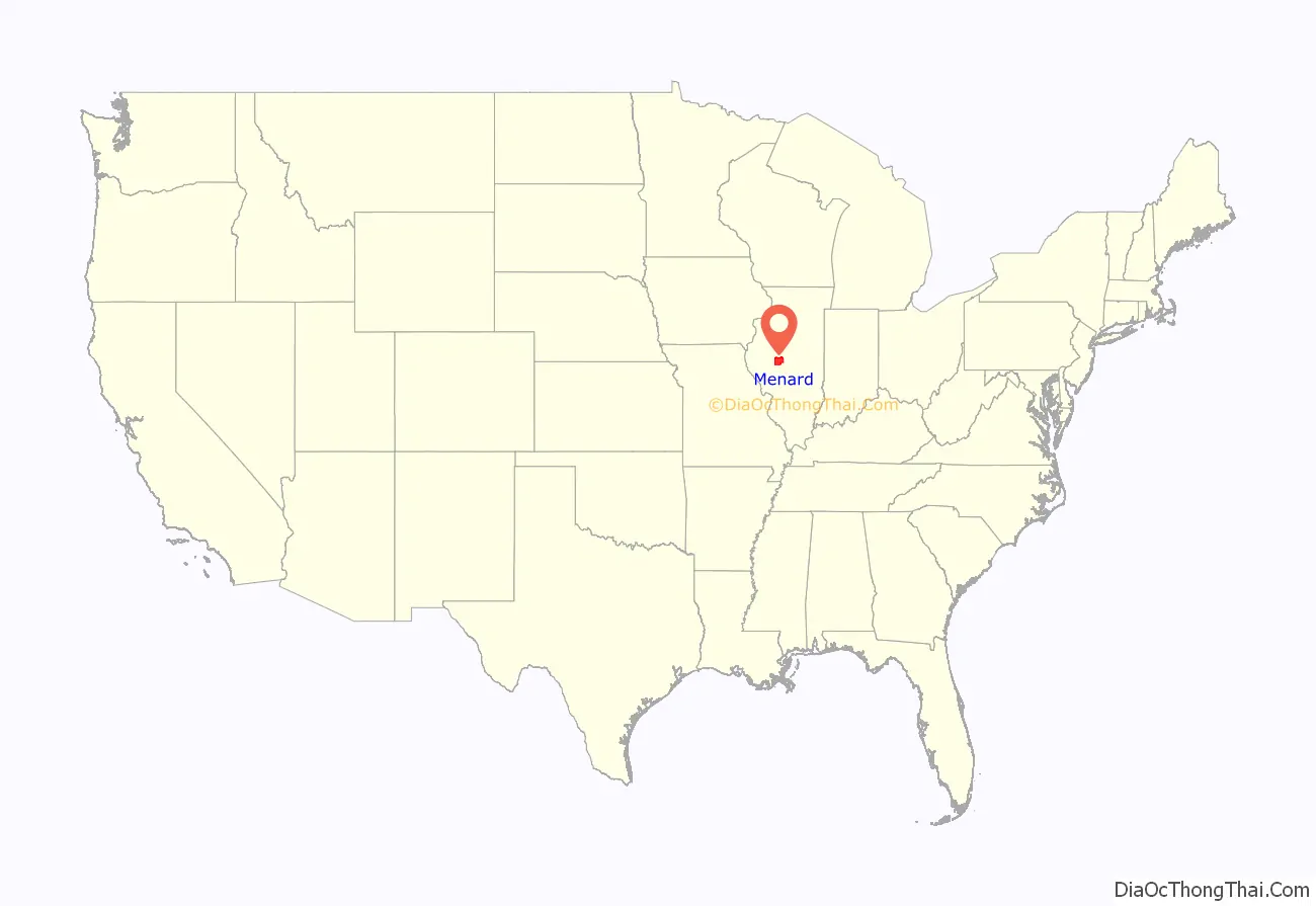
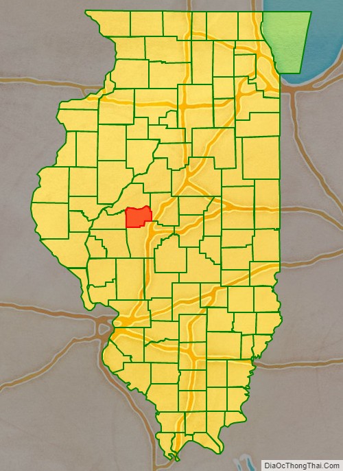
Menard County location map. Where is Menard County?
History
Menard County was formed in 1839 out of Sangamon County. The County was named for Pierre Menard, the first lieutenant governor of Illinois.
Menard County at the time of its creation in 1839
Menard County in 1841, reduced to its present borders
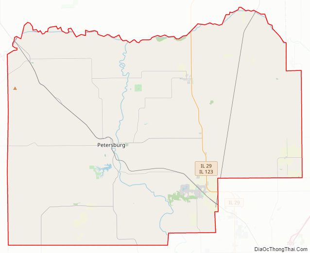
Menard County Road Map
Geography
According to the US Census Bureau, the county has an area of 315 square miles (820 km), of which 314 square miles (810 km) is land and 1.0 square mile (2.6 km) (0.3%) is water.
Climate and weather
In recent years, average temperatures in the county seat of Petersburg have ranged from a low of 17 °F (−8 °C) in January to a high of 87 °F (31 °C) in July, although a record low of −24 °F (−31 °C) was recorded in February 1905 and a record high of 112 °F (44 °C) was recorded in July 1954. Average monthly precipitation ranged from 1.62 inches (41 mm) in January to 4.06 inches (103 mm) in May.
Major highways
- Illinois Route 29
- Illinois Route 97
- Illinois Route 123
Adjacent counties
- Mason County – north
- Logan County – east
- Sangamon County – south
- Cass County – west
Menard County Topographic Map
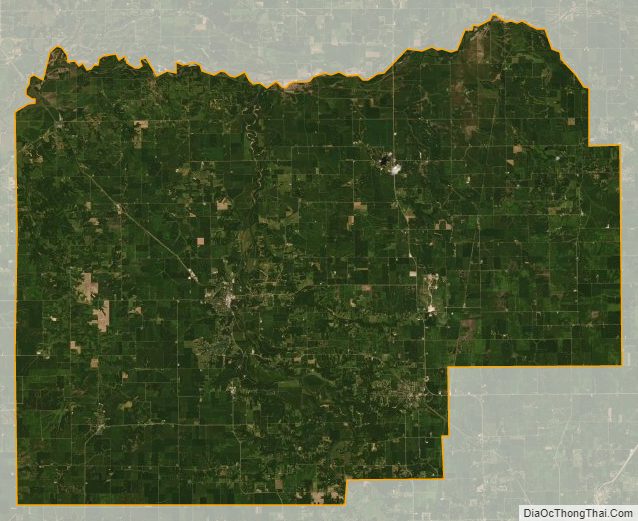
Menard County Satellite Map
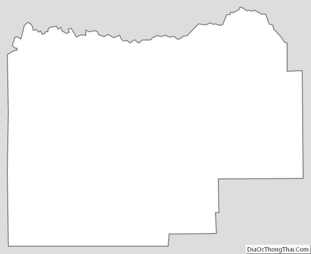
Menard County Outline Map