Cheyenne County is a county located in the U.S. state of Colorado. The county population was 1,748 at 2020 census. The county seat is Cheyenne Wells.
| Name: | Cheyenne County |
|---|---|
| FIPS code: | 08-017 |
| State: | Colorado |
| Founded: | March 25, 1889 |
| Named for: | The Cheyenne Nation |
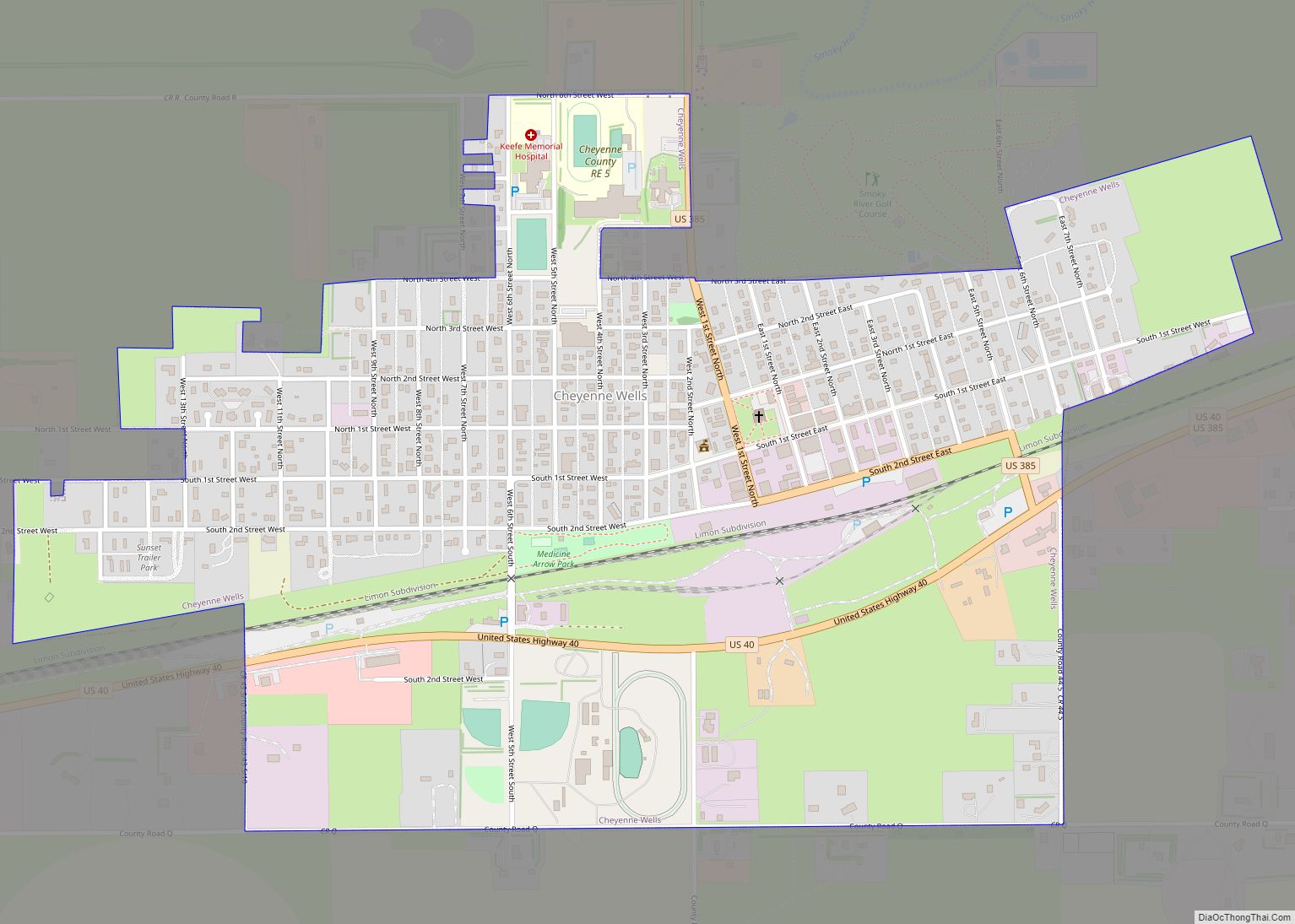
| Seat: | Cheyenne Wells |
| Largest town: | Cheyenne Wells |
| Total Area: | 1,781 sq mi (4,610 km²) |
| Land Area: | 1,778 sq mi (4,600 km²) |
| Total Population: | 1,707 |
| Population Density: | 1.0/sq mi (0.4/km²) |
| Time zone: | UTC−7 (Mountain) |
| Summer Time Zone (DST): | UTC−6 (MDT) |
| Website: | www.co.cheyenne.co.us |
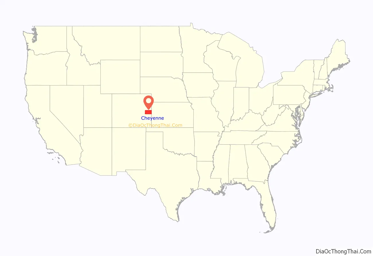
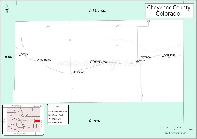
Cheyenne County location map. Where is Cheyenne County?
History
Cheyenne County was created with its present borders by the Colorado State Legislature on March 25, 1889, out of portions of northeastern Bent County and southeastern Elbert County. It was named after the Cheyenne Indians who occupied eastern Colorado.
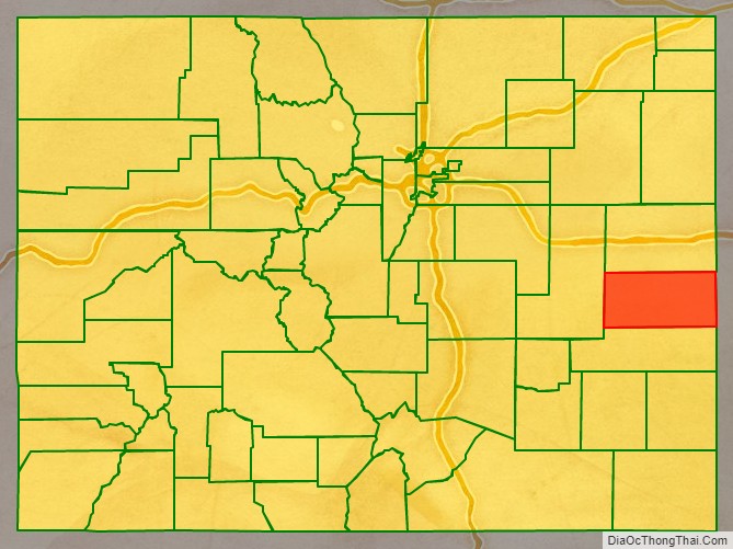
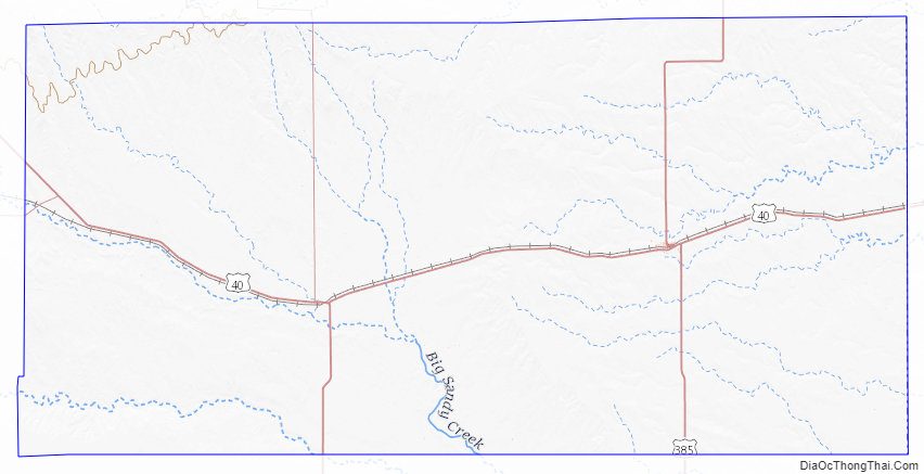
Cheyenne County Road Map
Geography
According to the U.S. Census Bureau, the county has a total area of 1,781 square miles (4,610 km), of which 1,778 square miles (4,600 km) is land and 3.2 square miles (8.3 km) (0.2%) is water.
The drainage basins in Cheyenne County include Bellyache, Big Timber, East and Middle Fork Big Spring, Eureka, Goose, Ladder, Little Spring, Pass, Rock, Sand, Turtle, White Woman, Wild Horse and Willow Creeks, as well as the Smoky Hill River. The Smoky Hill drains into the Republican River in Kansas. The creeks in the northern and eastern part of the county drain to the Republican or Smoky Hill Rivers; those in the central and southeastern part of the county drain ultimately to the Arkansas River. All of the creeks in Cheyenne County are generally dry with some flow when drawing snowmelt or rainfall. There are four summits in Cheyenne County: Agate Mound (4,457 ft.), Eureka Hill (4,700 ft.), Landsman Hill (4,695 ft.), and Twin Buttes (4,621 ft.) The highest point in the county is in the extreme northwest corner of the county on the Bledsoe Ranch (5,255 ft.)
Adjacent counties
- Kit Carson County (north)
- Wallace County, Kansas (east)
- Greeley County, Kansas (southeast)
- Lincoln County (west)
- Kiowa County (south)
Major Highways
- U.S. Highway 40
- U.S. Highway 287
- U.S. Highway 385
- State Highway 59
- State Highway 94
Antipode
Cheyenne County is home of the Antipode of Île Saint-Paul making it one of the few places in the continental United States with a non-oceanic antipode.
Cheyenne County Topographic Map
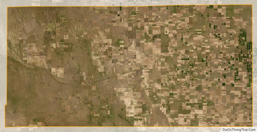
Cheyenne County Satellite Map
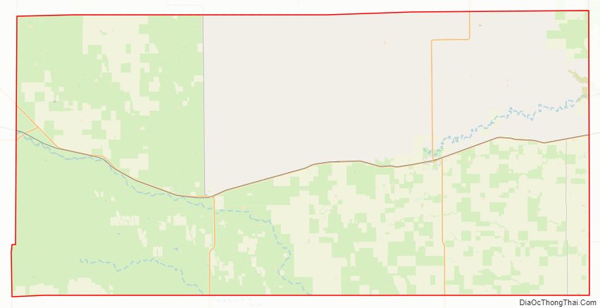
Cheyenne County Outline Map