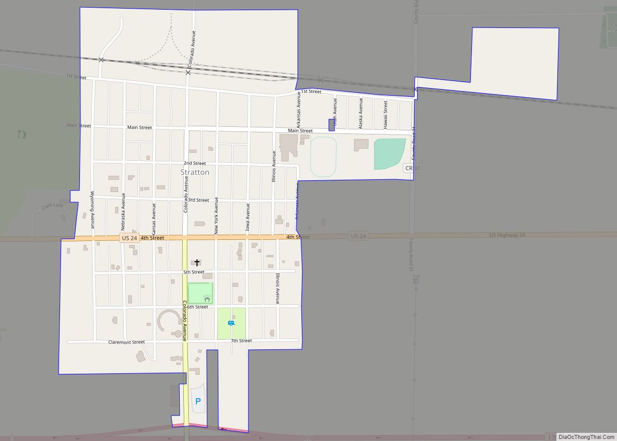
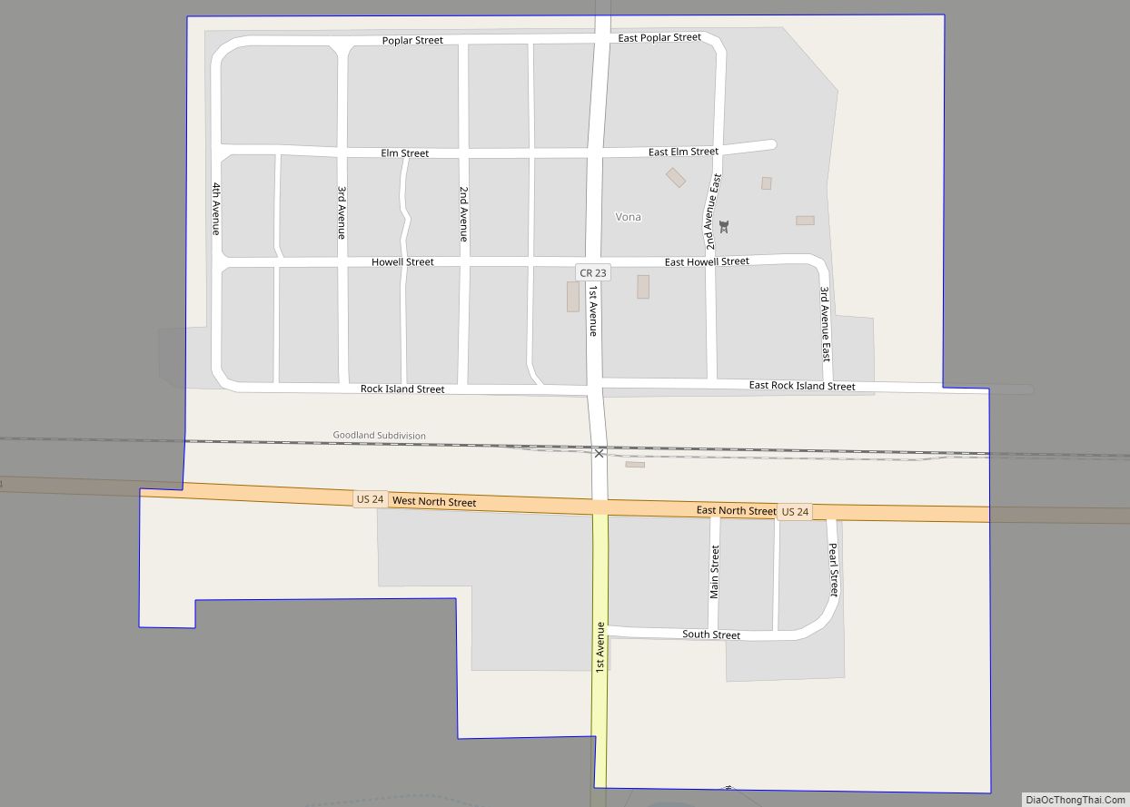
Kit Carson County is a county located in the U.S. state of Colorado. As of the 2020 census, the population was 7,087. The county seat is Burlington. The county was established in 1889 and named for American frontiersman and Indian fighter Kit Carson.
| Name: | Kit Carson County |
|---|---|
| FIPS code: | 08-063 |
| State: | Colorado |
| Founded: | April 11, 1889 |
| Named for: | Kit Carson |
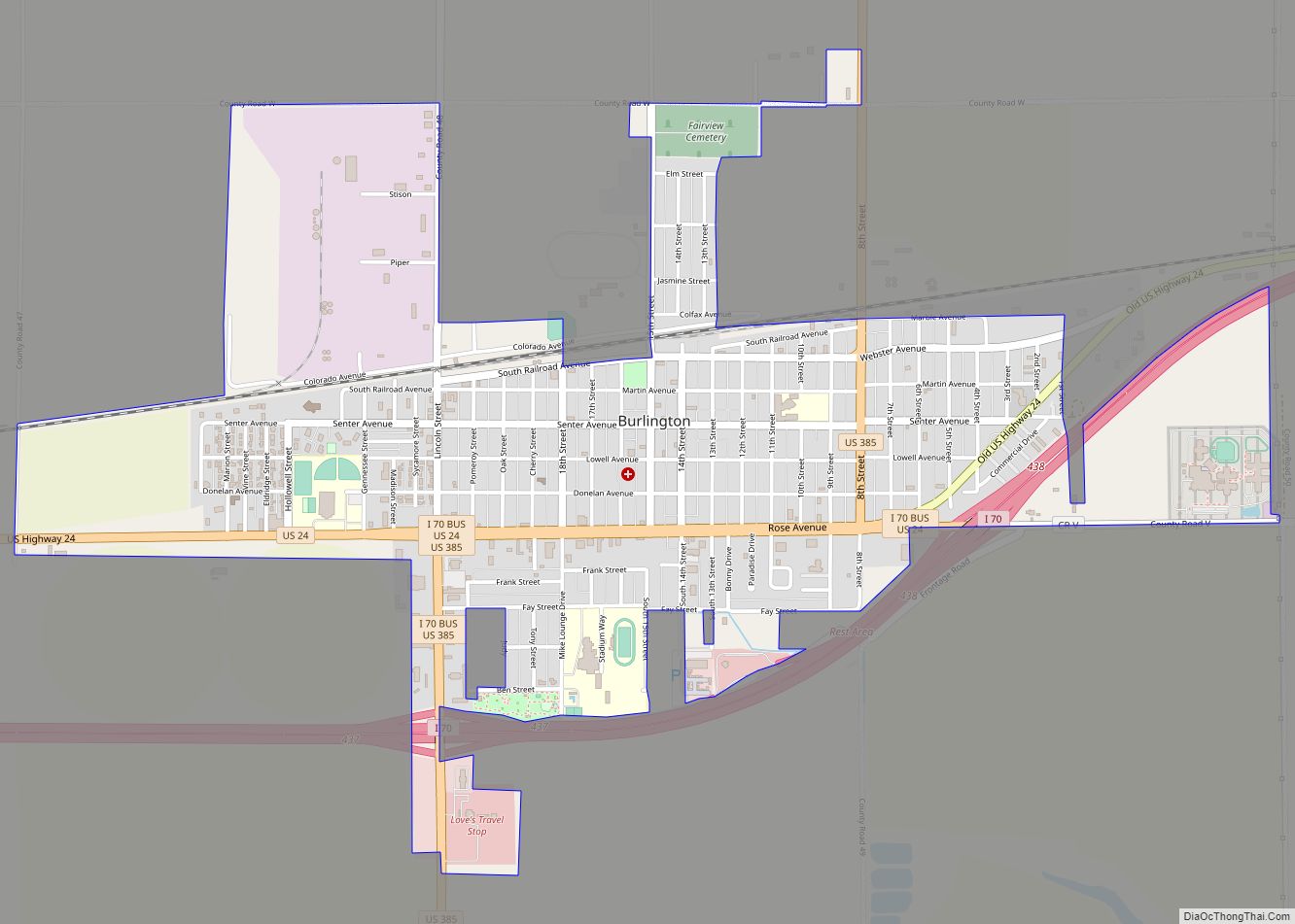
| Seat: | Burlington |
| Largest city: | Burlington |
| Total Area: | 2,162 sq mi (5,600 km²) |
| Land Area: | 2,161 sq mi (5,600 km²) |
| Total Population: | 7,087 |
| Population Density: | 3.3/sq mi (1.3/km²) |
| Time zone: | UTC−7 (Mountain) |
| Summer Time Zone (DST): | UTC−6 (MDT) |
| Website: | kitcarsoncounty.colorado.gov |
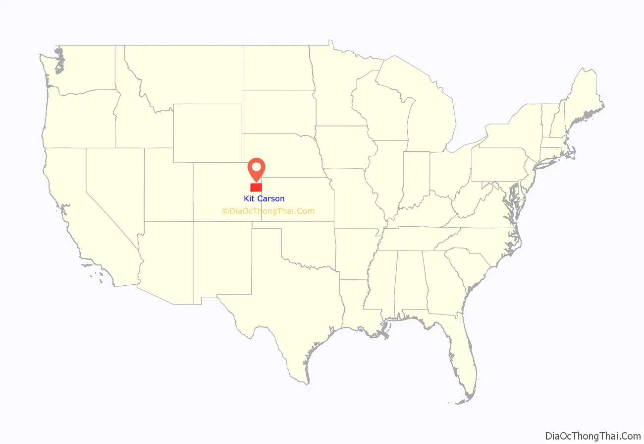
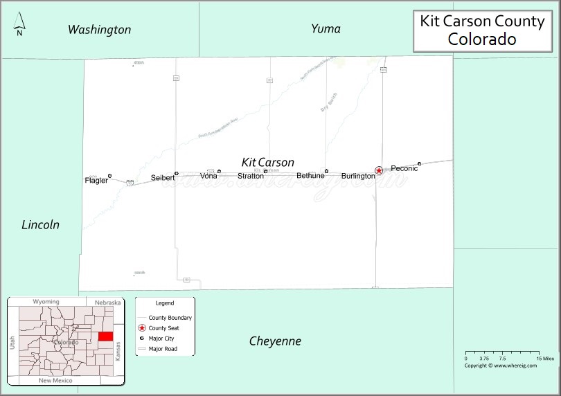
Kit Carson County location map. Where is Kit Carson County?
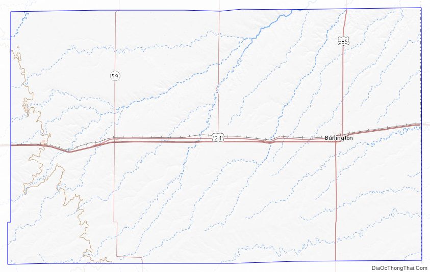
Kit Carson County Road Map
Geography
According to the U.S. Census Bureau, the county has a total area of 2,162 square miles (5,600 km), of which 2,161 square miles (5,600 km) is land and 0.9 square miles (2.3 km) (0.04%) is water.
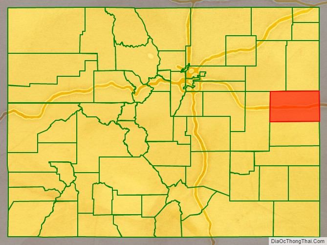
Adjacent counties
- Yuma County (north)
- Cheyenne County, Kansas (northeast/Central Time border)
- Sherman County, Kansas (east)
- Wallace County, Kansas (southeast)
- Cheyenne County (south)
- Lincoln County (west)
- Washington County (northwest)
Major highways
- Interstate 70
- I-70 BS
- I-70 BL
- U.S. Highway 24
- U.S. Highway 385
- State Highway 59
Kit Carson County Topographic Map
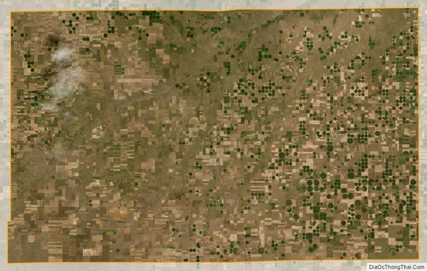
Kit Carson County Satellite Map
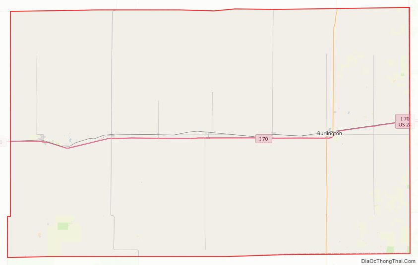
Kit Carson County Outline Map