Cheyenne Wells is the Statutory Town that is the county seat and the most populous municipality of Cheyenne County, Colorado, United States. The town population was 758 at the 2020 United States Census.
| Name: | Cheyenne Wells town |
|---|---|
| LSAD Code: | 43 |
| LSAD Description: | town (suffix) |
| State: | Colorado |
| County: | Cheyenne County |
| Incorporated: | May 14, 1890 |
| Elevation: | 4,291 ft (1,308 m) |
| Total Area: | 1.070 sq mi (2.770 km²) |
| Land Area: | 1.070 sq mi (2.770 km²) |
| Water Area: | 0.000 sq mi (0.000 km²) |
| Total Population: | 758 |
| Population Density: | 709/sq mi (274/km²) |
| ZIP code: | 80810 |
| Area code: | 719 |
| FIPS code: | 0814175 |
| Website: | townofcheyennewells.com |
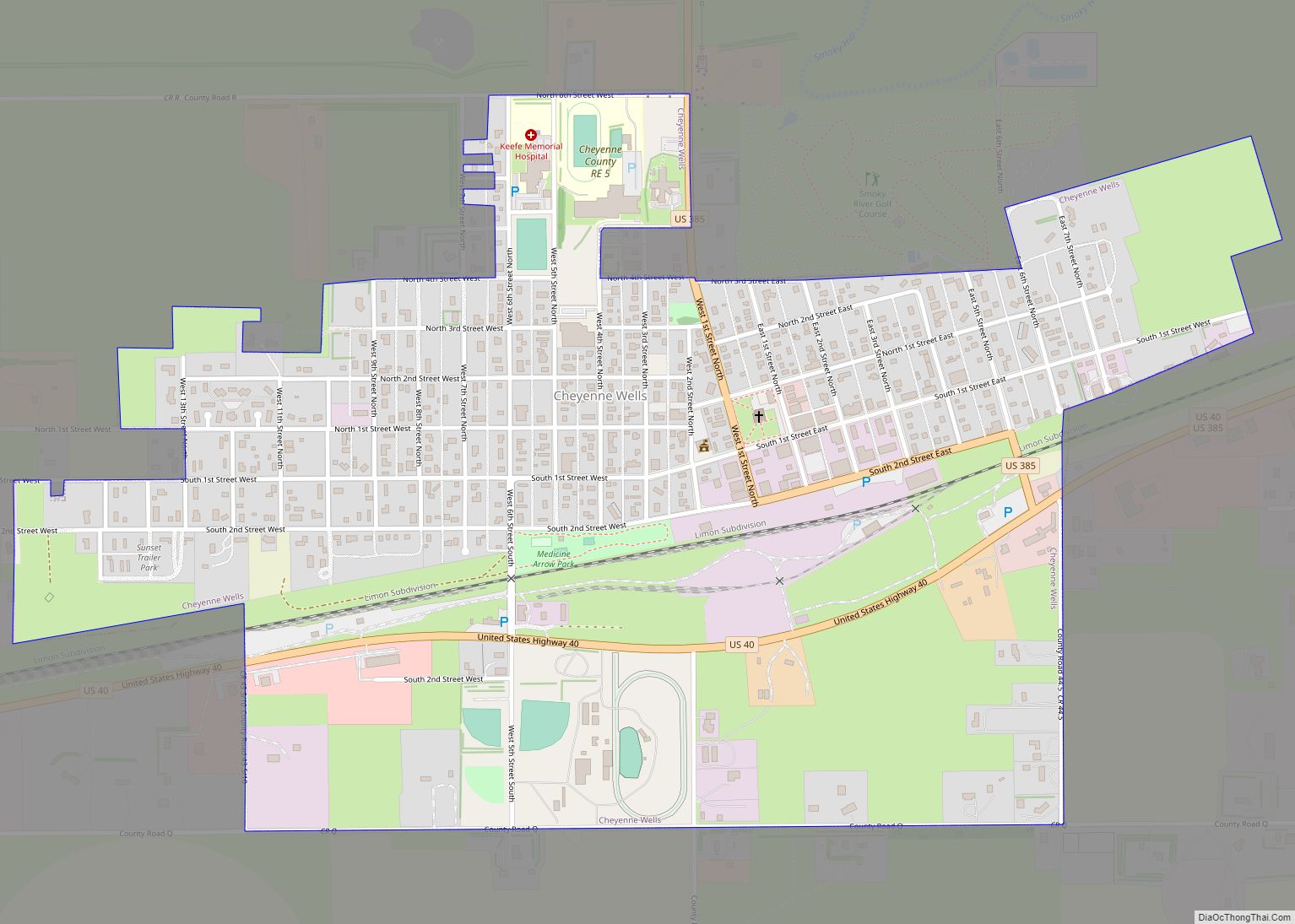
Online Interactive Map
Click on ![]() to view map in "full screen" mode.
to view map in "full screen" mode.
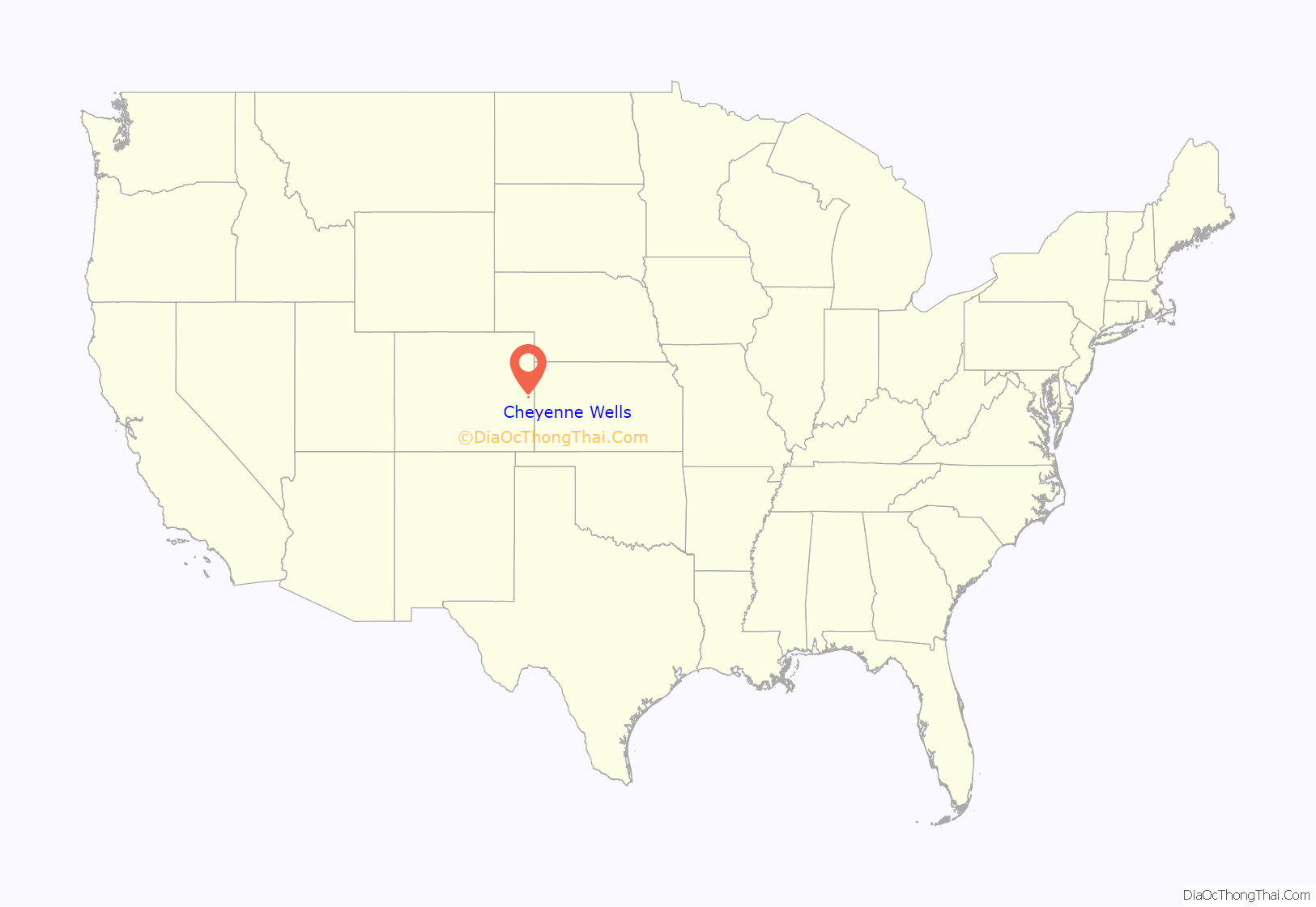
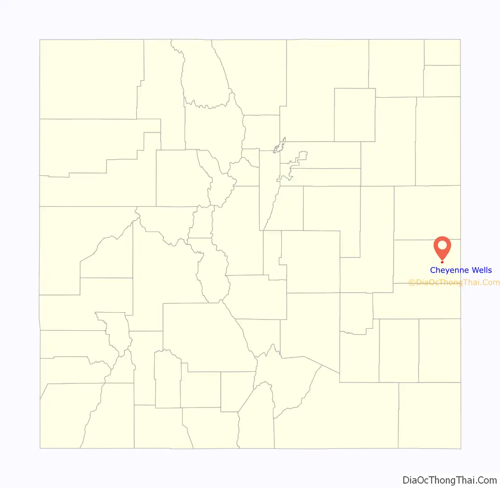
Cheyenne Wells location map. Where is Cheyenne Wells town?
History
The community was named for the fact Cheyenne Indians maintained water wells near the original town site.
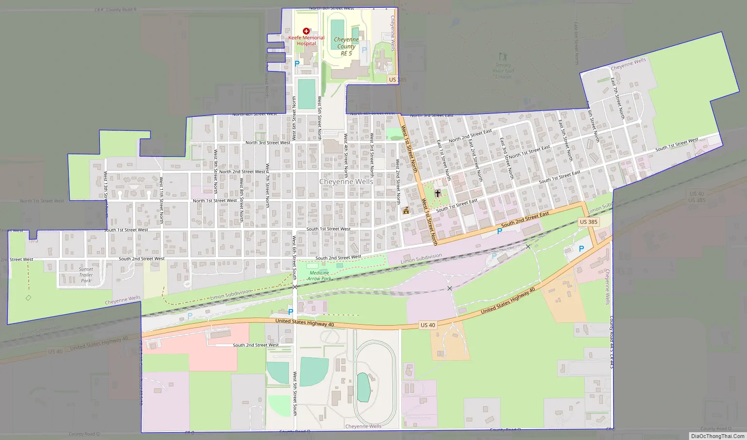
Cheyenne Wells Road Map
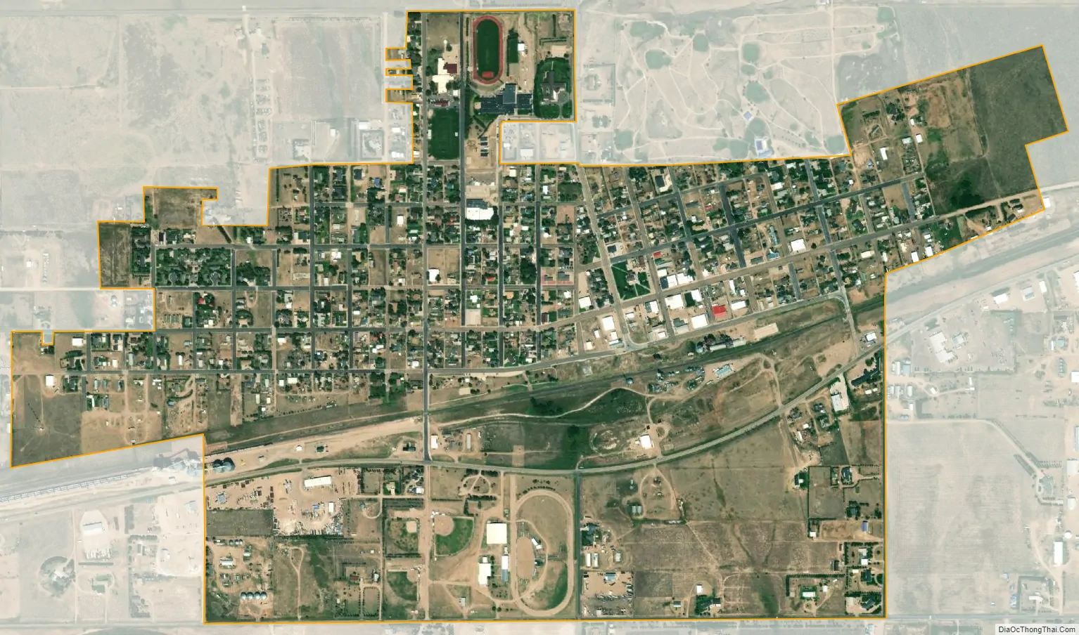
Cheyenne Wells city Satellite Map
Geography
Cheyenne Wells is located at 38°49′16″N 102°21′13″W / 38.82111°N 102.35361°W / 38.82111; -102.35361 (38.821141, -102.353637).
At the 2020 United States Census, the town had a total area of 684 acres (2.770 km), all of it land.
A small area about 10 miles southwest of Cheyenne Wells is antipodal, or globally opposite, to Île Saint-Paul, an island in the southern Indian Ocean.
See also
Map of Colorado State and its subdivision:- Adams
- Alamosa
- Arapahoe
- Archuleta
- Baca
- Bent
- Boulder
- Broomfield
- Chaffee
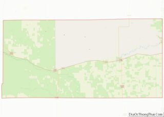
- Cheyenne
- Clear Creek
- Conejos
- Costilla
- Crowley
- Custer
- Delta
- Denver
- Dolores
- Douglas
- Eagle
- El Paso
- Elbert
- Fremont
- Garfield
- Gilpin
- Grand
- Gunnison
- Hinsdale
- Huerfano
- Jackson
- Jefferson
- Kiowa
- Kit Carson
- La Plata
- Lake
- Larimer
- Las Animas
- Lincoln
- Logan
- Mesa
- Mineral
- Moffat
- Montezuma
- Montrose
- Morgan
- Otero
- Ouray
- Park
- Phillips
- Pitkin
- Prowers
- Pueblo
- Rio Blanco
- Rio Grande
- Routt
- Saguache
- San Juan
- San Miguel
- Sedgwick
- Summit
- Teller
- Washington
- Weld
- Yuma
- Alabama
- Alaska
- Arizona
- Arkansas
- California
- Colorado
- Connecticut
- Delaware
- District of Columbia
- Florida
- Georgia
- Hawaii
- Idaho
- Illinois
- Indiana
- Iowa
- Kansas
- Kentucky
- Louisiana
- Maine
- Maryland
- Massachusetts
- Michigan
- Minnesota
- Mississippi
- Missouri
- Montana
- Nebraska
- Nevada
- New Hampshire
- New Jersey
- New Mexico
- New York
- North Carolina
- North Dakota
- Ohio
- Oklahoma
- Oregon
- Pennsylvania
- Rhode Island
- South Carolina
- South Dakota
- Tennessee
- Texas
- Utah
- Vermont
- Virginia
- Washington
- West Virginia
- Wisconsin
- Wyoming