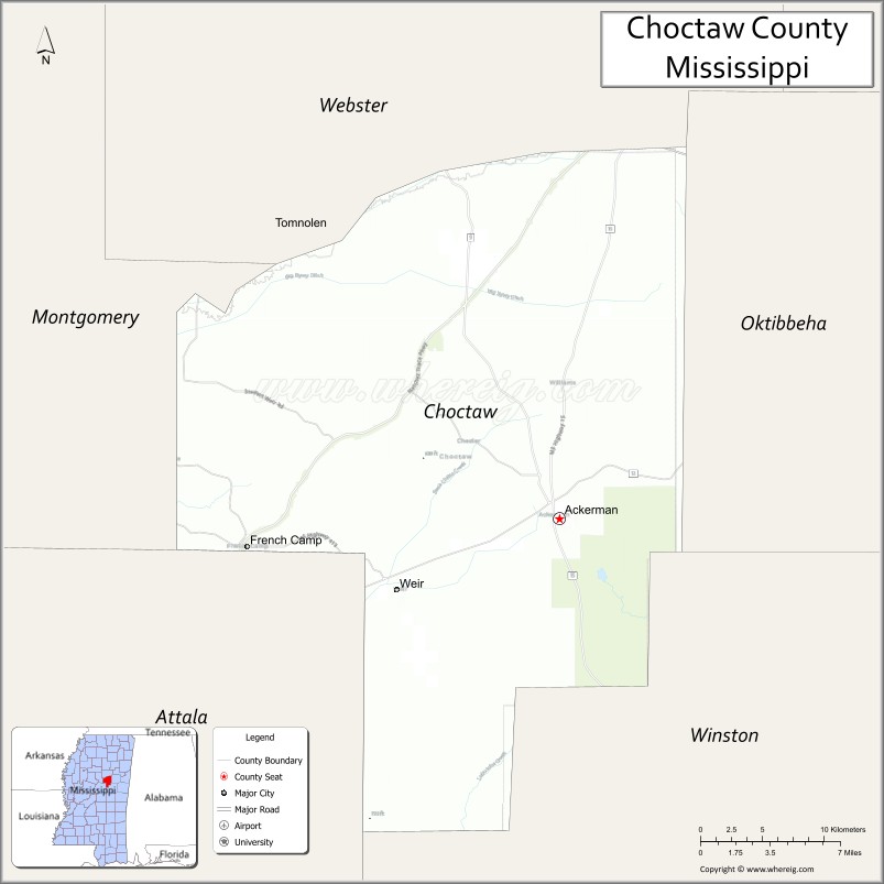
Choctaw County is a county located in the central part of the U.S. state of Mississippi. As of the 2020 census, the population was 8,246. Its northern border is the Big Black River, which flows southwest into the Mississippi River south of Vicksburg. The county seat is Ackerman.
The county is named after the Choctaw tribe of Native Americans. They had long occupied this territory as their homeland before European exploration. Under the Indian Removal Act of 1830, they were forced by the United States to cede their lands and to move west of the Mississippi River to what became Indian Territory (today’s state of Oklahoma).
| Name: | Choctaw County |
|---|---|
| FIPS code: | 28-019 |
| State: | Mississippi |
| Founded: | 1833 |
| Named for: | Choctaw people |
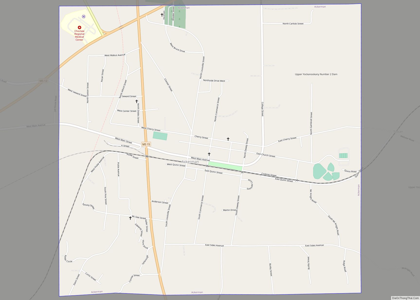
| Seat: | Ackerman |
| Largest town: | Ackerman |
| Total Area: | 420 sq mi (1,100 km²) |
| Land Area: | 418 sq mi (1,080 km²) |
| Total Population: | 8,246 |
| Population Density: | 20/sq mi (7.6/km²) |
| Time zone: | UTC−6 (Central) |
| Summer Time Zone (DST): | UTC−5 (CDT) |
| Website: | choctawcountyms.com |
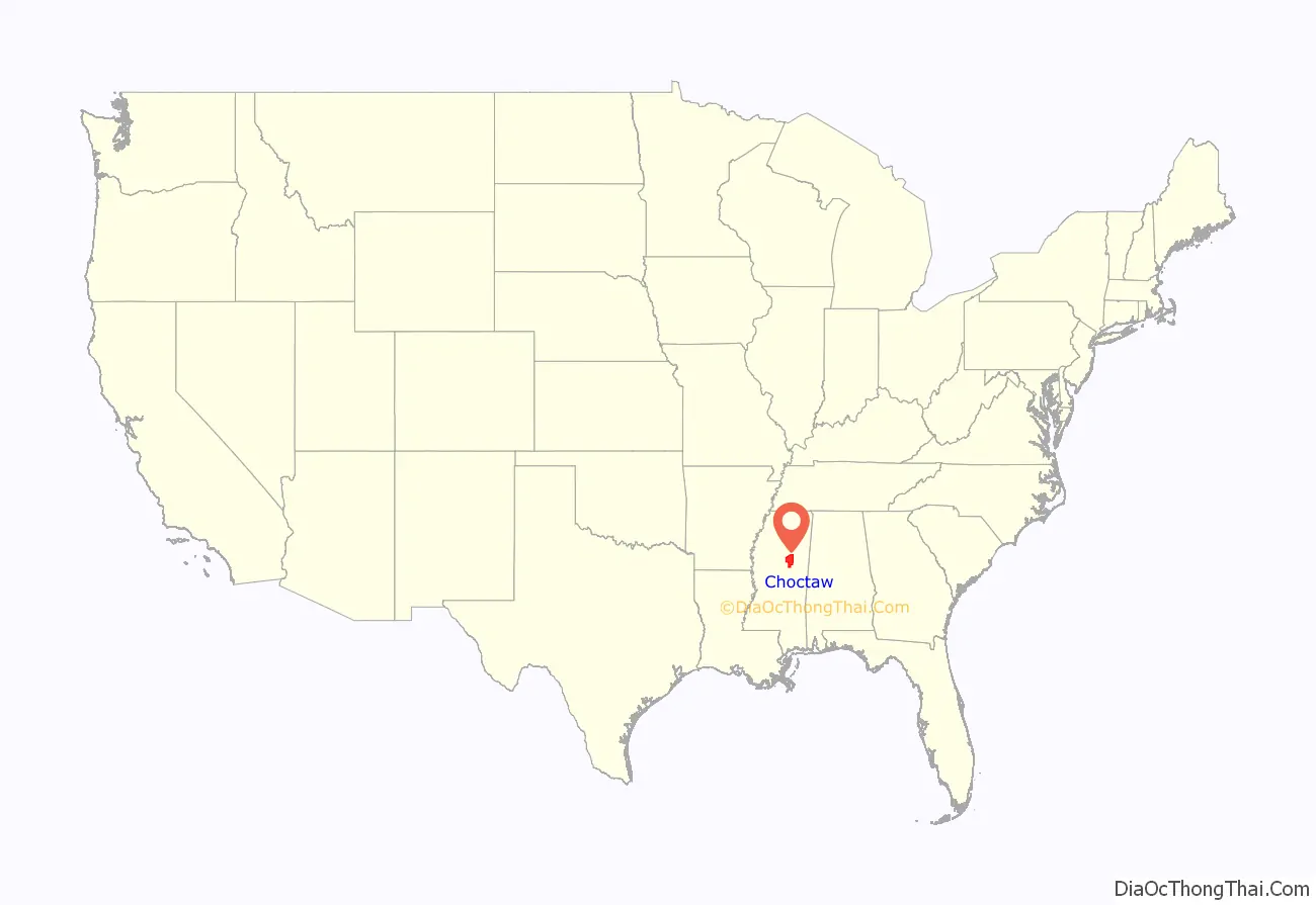
Choctaw County location map. Where is Choctaw County?
History
This was one of the first counties organized in central Mississippi after Indian Removal, and it was originally much larger in geography. As the population increased in the Territory, additional counties were organized. For instance, in 1874 Webster County was formed from some of this county, as were Montgomery and Grenada counties.
The first county seat was Greensboro, which was later assigned to the territory of Webster County and designated as its county seat. Eventually Walthall, Mississippi was designated as the county seat of that county, resulting in the decline and abandonment of Greensboro.
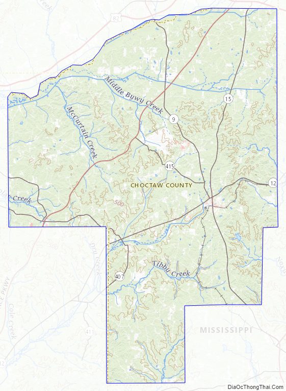
Choctaw County Road Map
Geography
According to the U.S. Census Bureau, the county has a total area of 420 square miles (1,100 km), of which 418 square miles (1,080 km) is land and 1.7 square miles (4.4 km) (0.4%) is water. The Big Black River forms the county’s northern border.
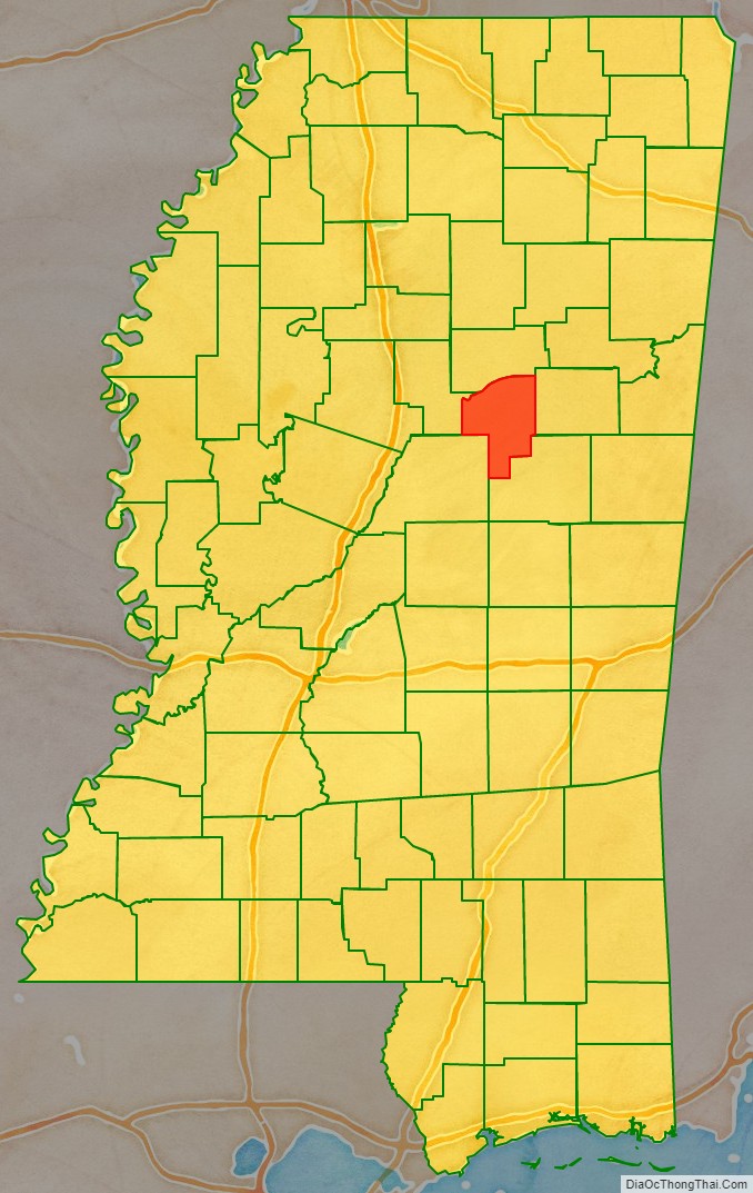
Adjacent counties
- Webster County, Mississippi – north
- Oktibbeha County, Mississippi – east
- Winston County, Mississippi – southeast
- Attala County, Mississippi – southwest
- Montgomery County, Mississippi – west
National protected areas
- Natchez Trace Parkway (part)
- Tombigbee National Forest (part)
Choctaw County Topographic Map
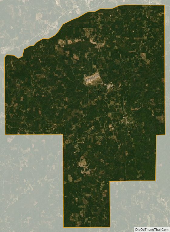
Choctaw County Satellite Map
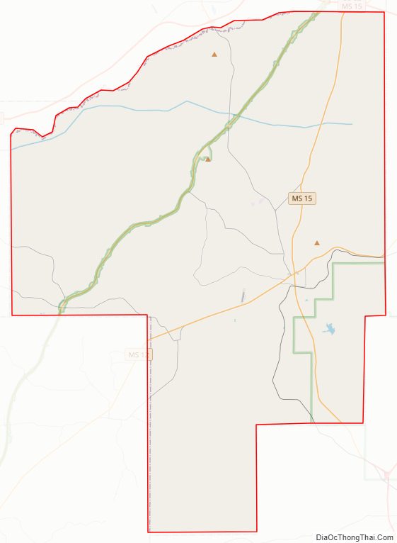
Choctaw County Outline Map