Weir is a town in Choctaw County, Mississippi, United States. The population was 459 at the 2010 census, down from 553 at the 2000 census.
| Name: | Weir town |
|---|---|
| LSAD Code: | 43 |
| LSAD Description: | town (suffix) |
| State: | Mississippi |
| County: | Choctaw County |
| Elevation: | 472 ft (144 m) |
| Total Area: | 1.07 sq mi (2.76 km²) |
| Land Area: | 1.05 sq mi (2.72 km²) |
| Water Area: | 0.01 sq mi (0.04 km²) |
| Total Population: | 441 |
| Population Density: | 419.60/sq mi (161.96/km²) |
| ZIP code: | 39772 |
| Area code: | 662 |
| FIPS code: | 2878520 |
| GNISfeature ID: | 0679425 |
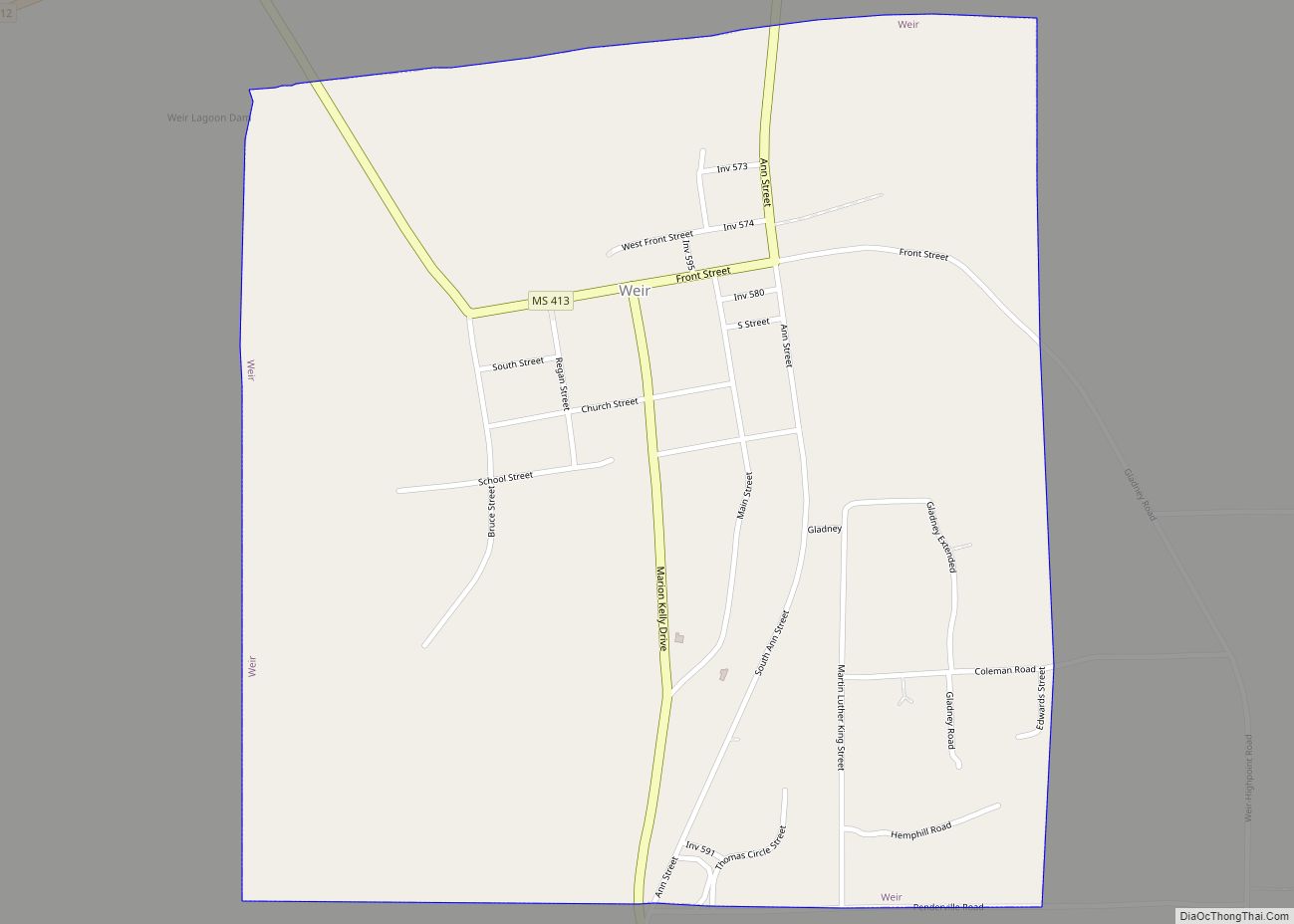
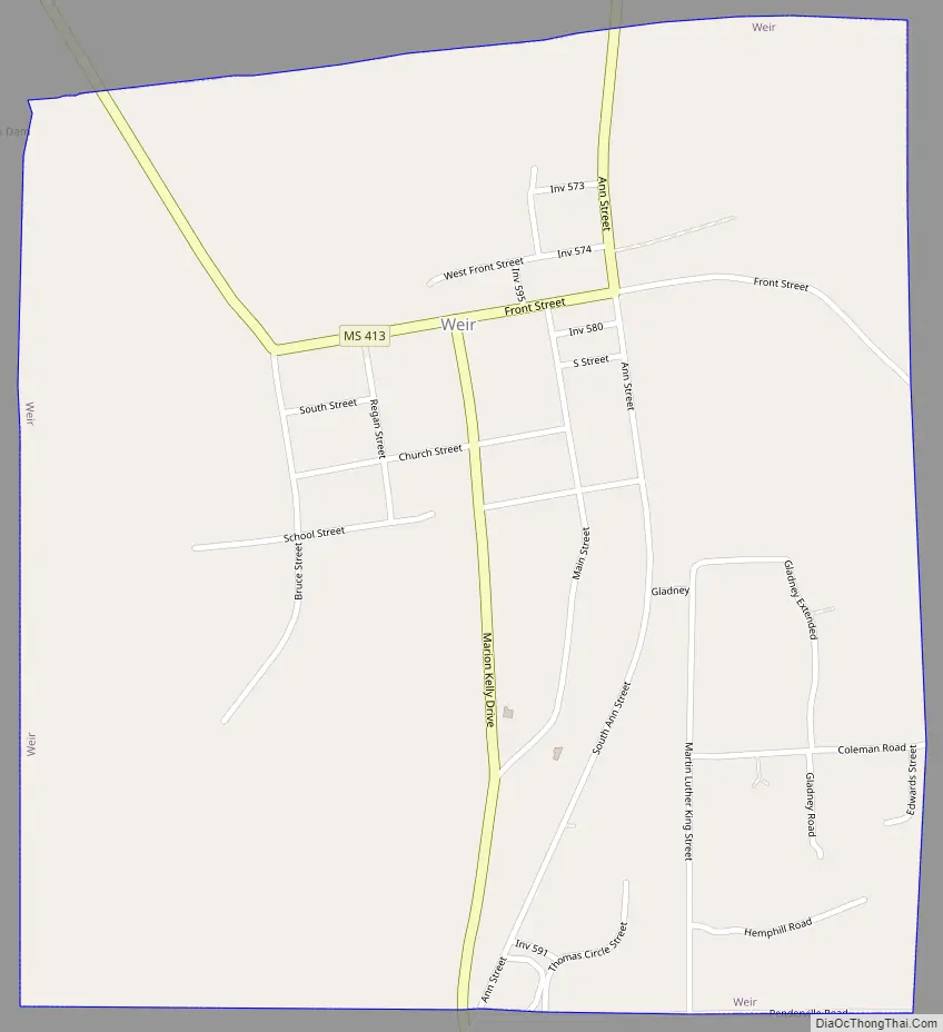
Online Interactive Map
Click on ![]() to view map in "full screen" mode.
to view map in "full screen" mode.
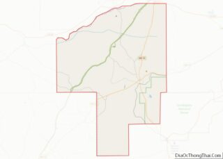
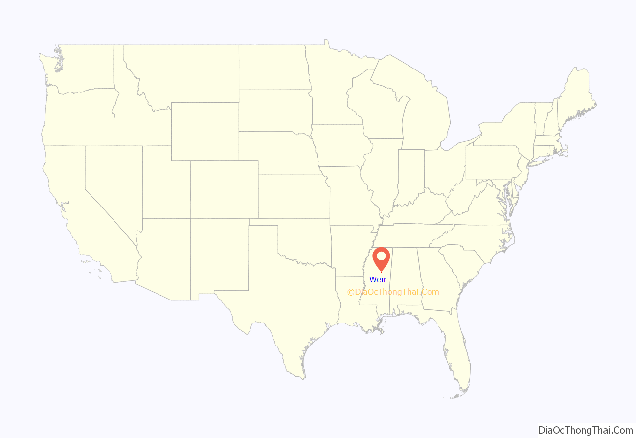
Weir location map. Where is Weir town?

History
The town of Weir was settled by former Confederate Colonel John Weir and his brother James in 1868.
Weir experienced a tornado on April 24, 2010.
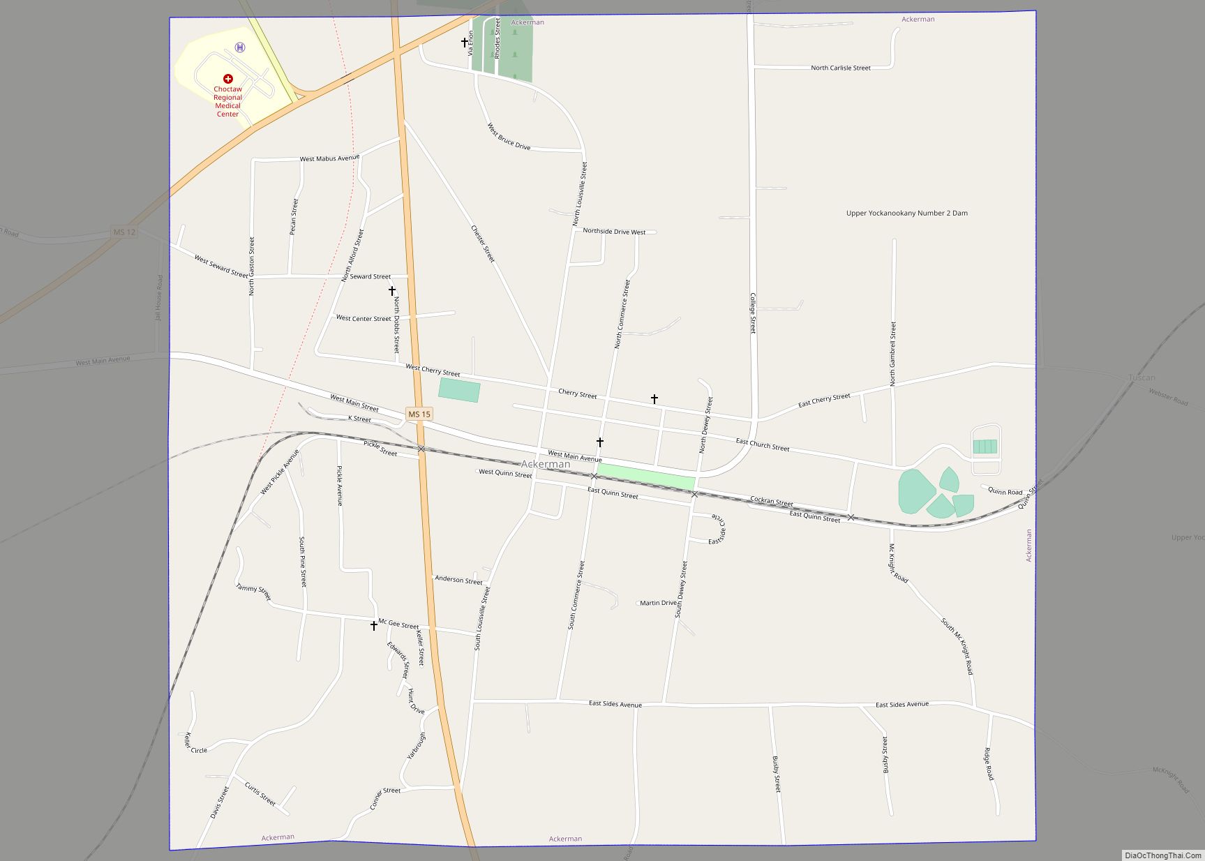
Weir Road Map
Weir city Satellite Map

Geography
Weir is located in southwestern Choctaw County at 33°15′48″N 89°17′22″W / 33.26333°N 89.28944°W / 33.26333; -89.28944 (33.263423, -89.289439), bordered on the north by the Yockanookany River. Mississippi Highway 12 passes north of the town, leading northeast to Ackerman, the county seat, and southwest to Kosciusko.
According to the United States Census Bureau, the town has a total area of 1.1 square miles (2.8 km), of which 0.02 square miles (0.04 km), or 1.43%, is water.
See also
Map of Mississippi State and its subdivision:- Adams
- Alcorn
- Amite
- Attala
- Benton
- Bolivar
- Calhoun
- Carroll
- Chickasaw
- Choctaw
- Claiborne
- Clarke
- Clay
- Coahoma
- Copiah
- Covington
- Desoto
- Forrest
- Franklin
- George
- Greene
- Grenada
- Hancock
- Harrison
- Hinds
- Holmes
- Humphreys
- Issaquena
- Itawamba
- Jackson
- Jasper
- Jefferson
- Jefferson Davis
- Jones
- Kemper
- Lafayette
- Lamar
- Lauderdale
- Lawrence
- Leake
- Lee
- Leflore
- Lincoln
- Lowndes
- Madison
- Marion
- Marshall
- Monroe
- Montgomery
- Neshoba
- Newton
- Noxubee
- Oktibbeha
- Panola
- Pearl River
- Perry
- Pike
- Pontotoc
- Prentiss
- Quitman
- Rankin
- Scott
- Sharkey
- Simpson
- Smith
- Stone
- Sunflower
- Tallahatchie
- Tate
- Tippah
- Tishomingo
- Tunica
- Union
- Walthall
- Warren
- Washington
- Wayne
- Webster
- Wilkinson
- Winston
- Yalobusha
- Yazoo
- Alabama
- Alaska
- Arizona
- Arkansas
- California
- Colorado
- Connecticut
- Delaware
- District of Columbia
- Florida
- Georgia
- Hawaii
- Idaho
- Illinois
- Indiana
- Iowa
- Kansas
- Kentucky
- Louisiana
- Maine
- Maryland
- Massachusetts
- Michigan
- Minnesota
- Mississippi
- Missouri
- Montana
- Nebraska
- Nevada
- New Hampshire
- New Jersey
- New Mexico
- New York
- North Carolina
- North Dakota
- Ohio
- Oklahoma
- Oregon
- Pennsylvania
- Rhode Island
- South Carolina
- South Dakota
- Tennessee
- Texas
- Utah
- Vermont
- Virginia
- Washington
- West Virginia
- Wisconsin
- Wyoming