Vicksburg is a historic city in Warren County, Mississippi, United States. It is the county seat, and the population as of 2020 was 21,573.
Located on a high bluff on the east bank of the Mississippi River across from Louisiana, Vicksburg was built by French colonists in 1719, and the outpost withstood an attack from the native Natchez people. It was incorporated as Vicksburg in 1825 after Methodist missionary Newitt Vick.
During the American Civil War, it was a key Confederate river-port, and its July 1863 surrender to Ulysses S. Grant, along with the concurrent Battle of Gettysburg, marked the turning-point of the war. The city is home to three large installations of the United States Army Corps of Engineers, which has often been involved in local flood control
| Name: | Vicksburg city |
|---|---|
| LSAD Code: | 25 |
| LSAD Description: | city (suffix) |
| State: | Mississippi |
| County: | Warren County |
| Incorporated: | February 15, 1839 |
| Elevation: | 240 ft (82 m) |
| Land Area: | 33.02 sq mi (85.51 km²) |
| Water Area: | 2.08 sq mi (5.38 km²) |
| Population Density: | 653.39/sq mi (252.28/km²) |
| ZIP code: | 39180-39183 |
| Area code: | 601 and 769 |
| FIPS code: | 2876720 |
| GNISfeature ID: | 0679216 |
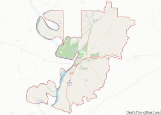
Online Interactive Map
Click on ![]() to view map in "full screen" mode.
to view map in "full screen" mode.
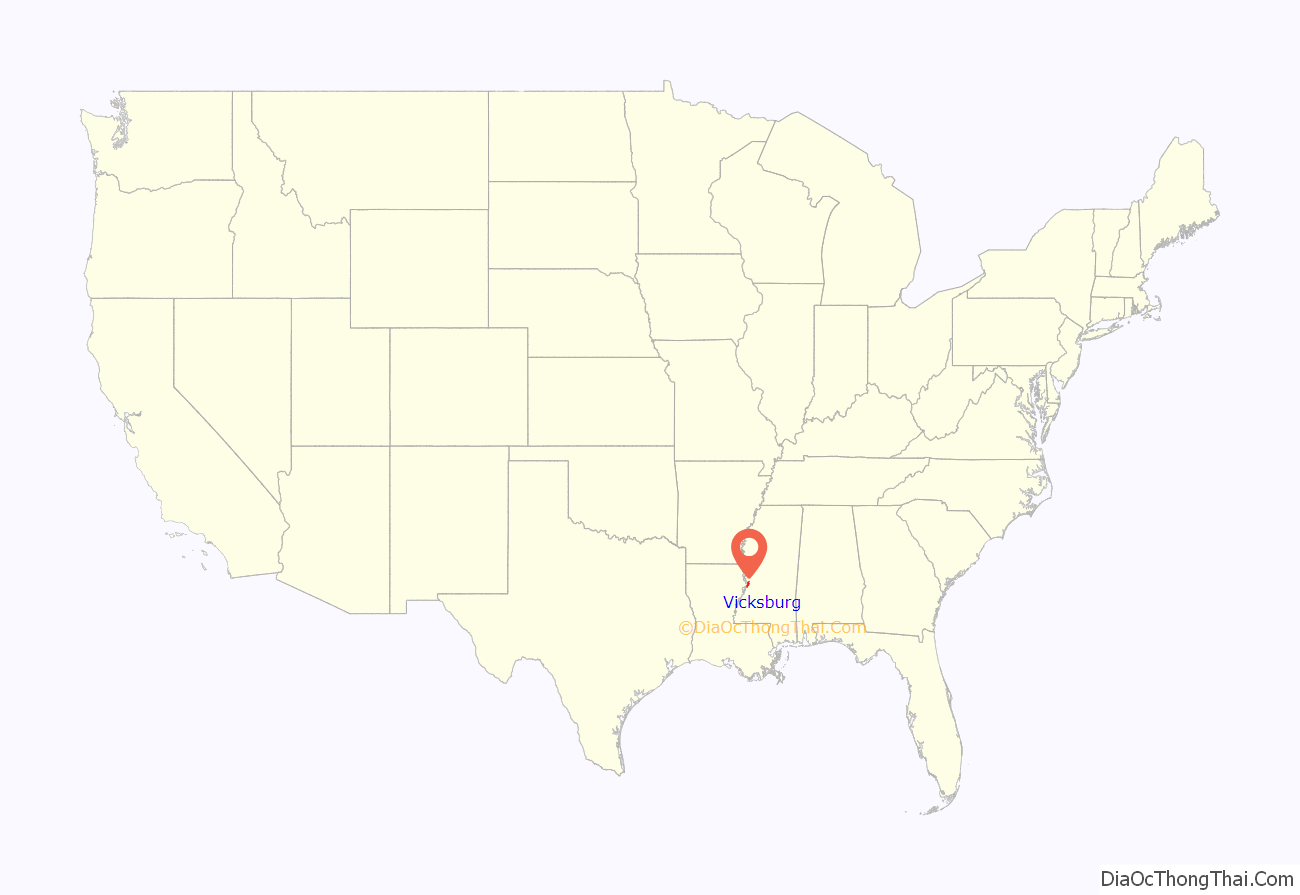
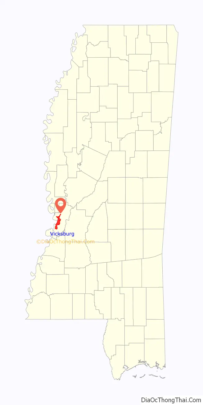
Vicksburg location map. Where is Vicksburg city?
History
The area that is now Vicksburg was long occupied by the Natchez Native Americans as part of their historical territory along the Mississippi. The first Europeans who settled the area were French colonists who built Fort Saint Pierre in 1719 on the high bluffs overlooking the Yazoo River at present-day Redwood. They conducted fur trading with the Natchez and others, and started plantations.
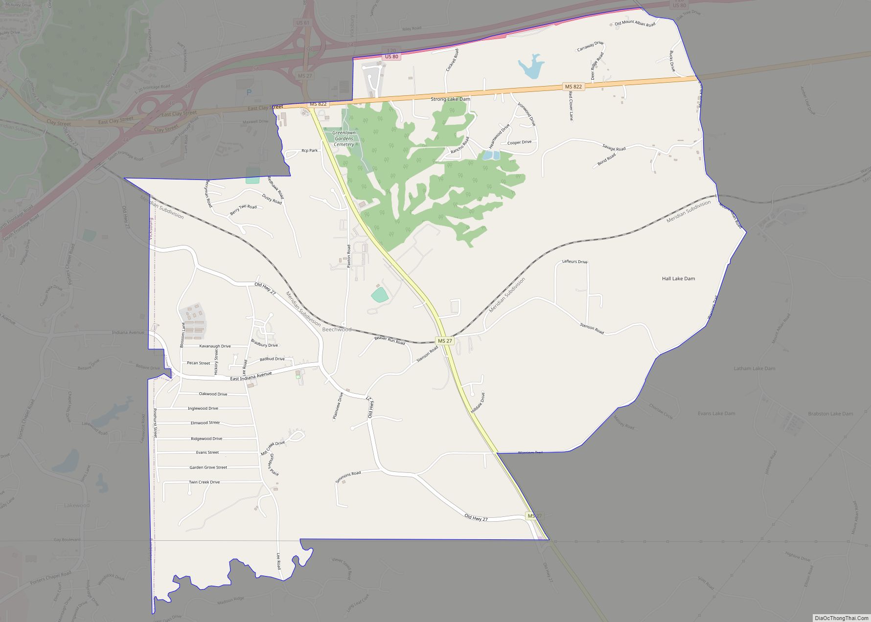
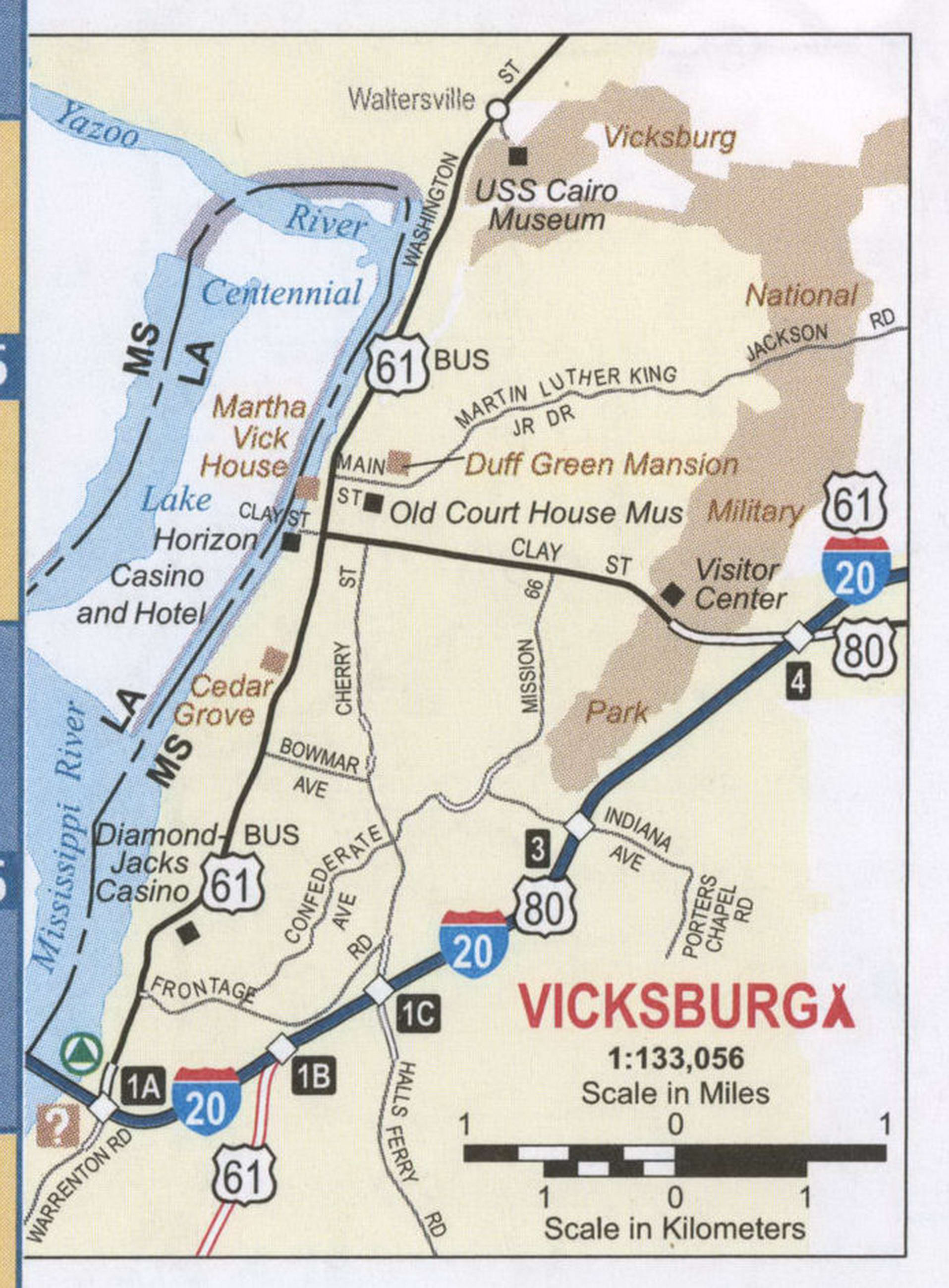
Vicksburg Road Map
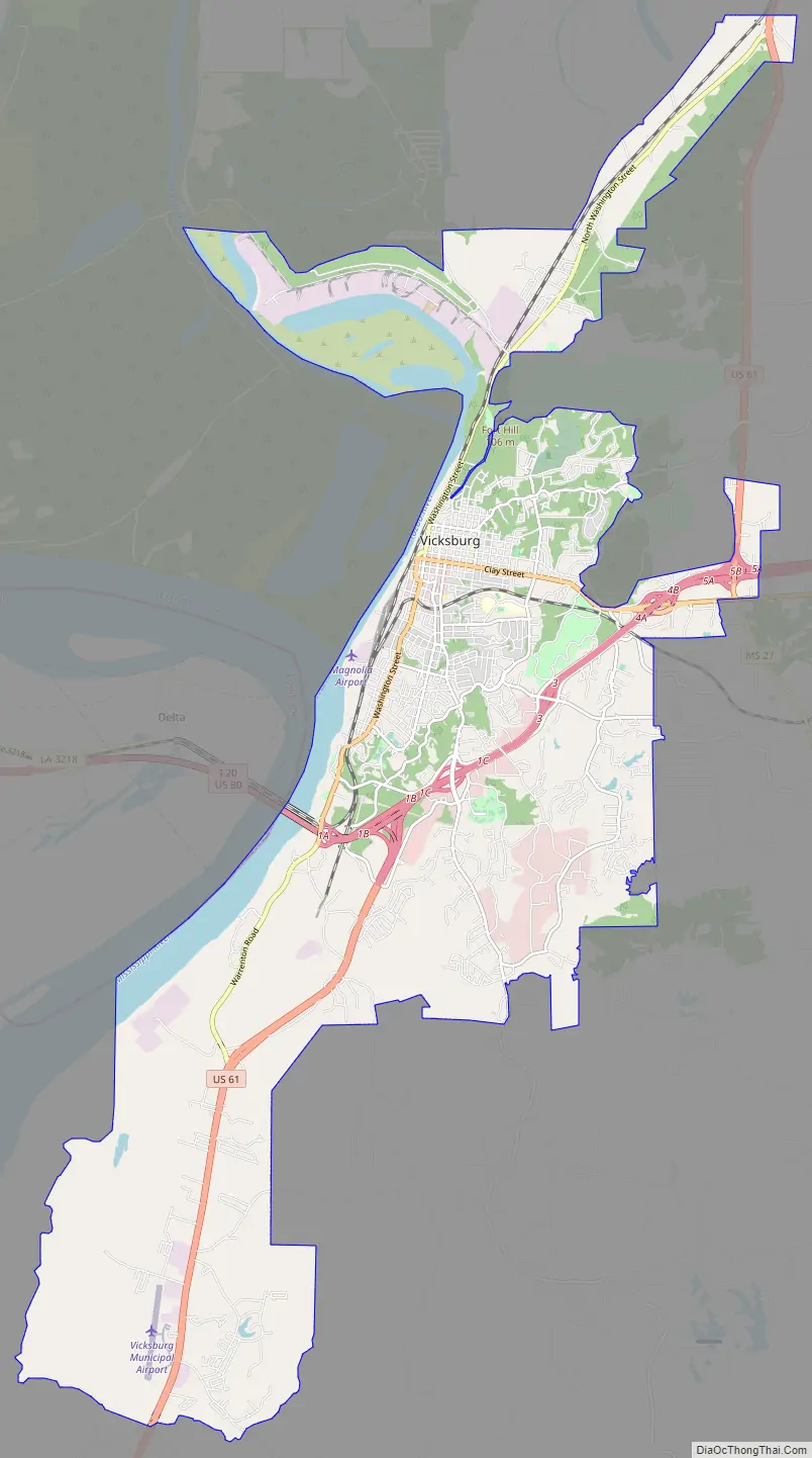
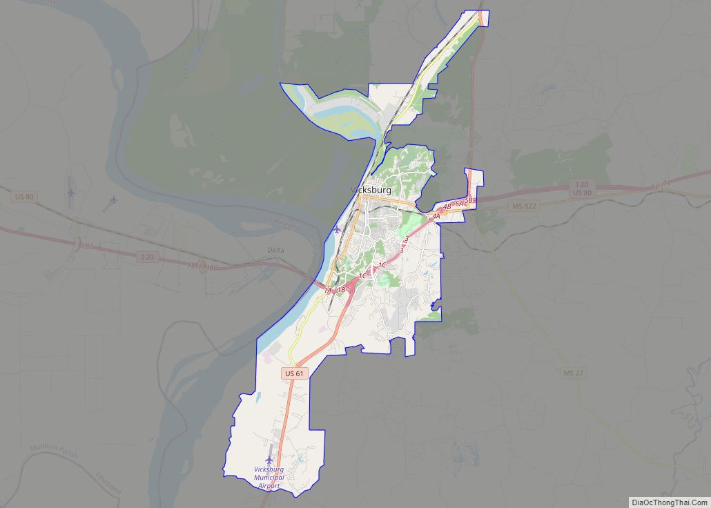
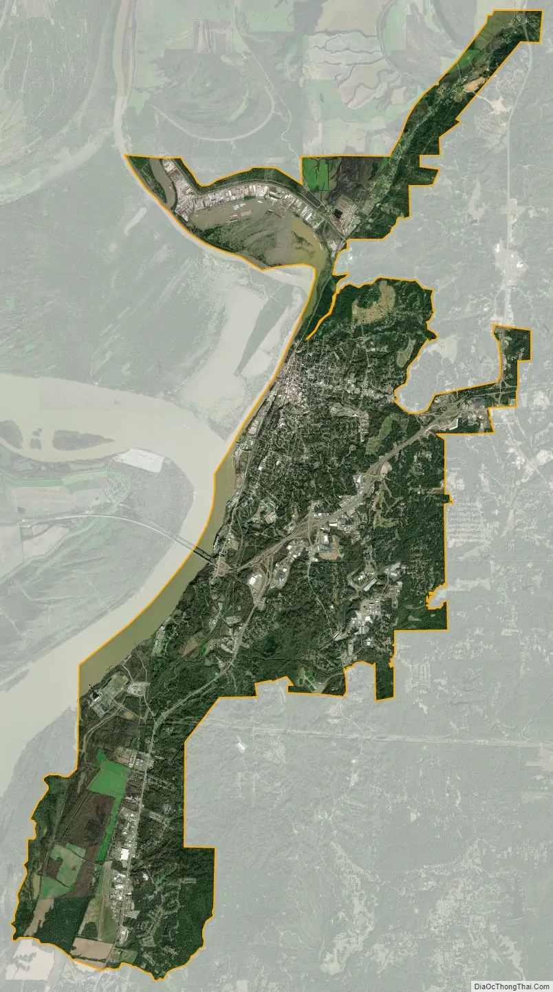
Vicksburg city Satellite Map
Geography
According to the United States Census Bureau, the city has a total area of 35.3 sq mi (91 km), of which 32.9 sq mi (85 km) are land and 2.4 sq mi (6.2 km) (6.78%) are covered by water.
Vicksburg is located at the confluence of the Mississippi and Yazoo Rivers. Much of the city is on top of a high bluff on the east bank of the Mississippi River. Vicksburg is also served by Interstate 20. The interstate opens Vicksburg with a Cloverleaf interchange that heads out to U.S. Route 61 North towards Rolling Fork, Mississippi, Clarksdale, Mississippi, and stretches out for another 77 miles towards Memphis, Tennessee. On the south part of the exit, it heads on Mississippi Highway 27 towards Utica, Mississippi. As the interstate goes on it makes interchanges with Clay Street, Indiana Avenue, and Halls Ferry Road. After the downtown interchanges are over, before finally crossing in Louisiana with a Cloverleaf interchange, I-20 makes a Directional T interchange with US-61, and US-61 heads south toward Port Gibson, Mississippi, Natchez, Mississippi, and then continues for another 92 miles into Baton Rouge, Louisiana, Louisiana’s capital city. Interstate 20 then continues to head west towards Monroe, Louisiana, Shreveport, Louisiana, Dallas, and lastly after 445 miles, making a Trumpet interchange with Interstate 10 in Toyah, Texas.
Climate
Vicksburg has a humid subtropical climate with mild winters and hot, humid summers.
See also
Map of Mississippi State and its subdivision:- Adams
- Alcorn
- Amite
- Attala
- Benton
- Bolivar
- Calhoun
- Carroll
- Chickasaw
- Choctaw
- Claiborne
- Clarke
- Clay
- Coahoma
- Copiah
- Covington
- Desoto
- Forrest
- Franklin
- George
- Greene
- Grenada
- Hancock
- Harrison
- Hinds
- Holmes
- Humphreys
- Issaquena
- Itawamba
- Jackson
- Jasper
- Jefferson
- Jefferson Davis
- Jones
- Kemper
- Lafayette
- Lamar
- Lauderdale
- Lawrence
- Leake
- Lee
- Leflore
- Lincoln
- Lowndes
- Madison
- Marion
- Marshall
- Monroe
- Montgomery
- Neshoba
- Newton
- Noxubee
- Oktibbeha
- Panola
- Pearl River
- Perry
- Pike
- Pontotoc
- Prentiss
- Quitman
- Rankin
- Scott
- Sharkey
- Simpson
- Smith
- Stone
- Sunflower
- Tallahatchie
- Tate
- Tippah
- Tishomingo
- Tunica
- Union
- Walthall
- Warren
- Washington
- Wayne
- Webster
- Wilkinson
- Winston
- Yalobusha
- Yazoo
- Alabama
- Alaska
- Arizona
- Arkansas
- California
- Colorado
- Connecticut
- Delaware
- District of Columbia
- Florida
- Georgia
- Hawaii
- Idaho
- Illinois
- Indiana
- Iowa
- Kansas
- Kentucky
- Louisiana
- Maine
- Maryland
- Massachusetts
- Michigan
- Minnesota
- Mississippi
- Missouri
- Montana
- Nebraska
- Nevada
- New Hampshire
- New Jersey
- New Mexico
- New York
- North Carolina
- North Dakota
- Ohio
- Oklahoma
- Oregon
- Pennsylvania
- Rhode Island
- South Carolina
- South Dakota
- Tennessee
- Texas
- Utah
- Vermont
- Virginia
- Washington
- West Virginia
- Wisconsin
- Wyoming