Cibola County is a county in the U.S. state of New Mexico. As of the 2010 census, the population was 27,213. Its county seat is Grants. It is New Mexico’s youngest county, and the third youngest county in the United States, created on June 19, 1981, from the westernmost four-fifths of the formerly much larger Valencia County.
Cibola County comprises the Grants, New Mexico Micropolitan Statistical Area. The county is a rich mining area with numerous Uranium mines.
| Name: | Cibola County |
|---|---|
| FIPS code: | 35-006 |
| State: | New Mexico |
| Founded: | June 19, 1981 |
| Named for: | Mythical Seven Cities of Cibola |
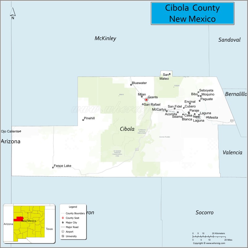
| Seat: | Grants |
| Largest city: | Grants |
| Total Area: | 4,542 sq mi (11,760 km²) |
| Land Area: | 4,539 sq mi (11,760 km²) |
| Total Population: | 27,184 |
| Population Density: | 6.0/sq mi (2.3/km²) |
| Time zone: | UTC−7 (Mountain) |
| Summer Time Zone (DST): | UTC−6 (MDT) |
| Website: | www.co.cibola.nm.us |
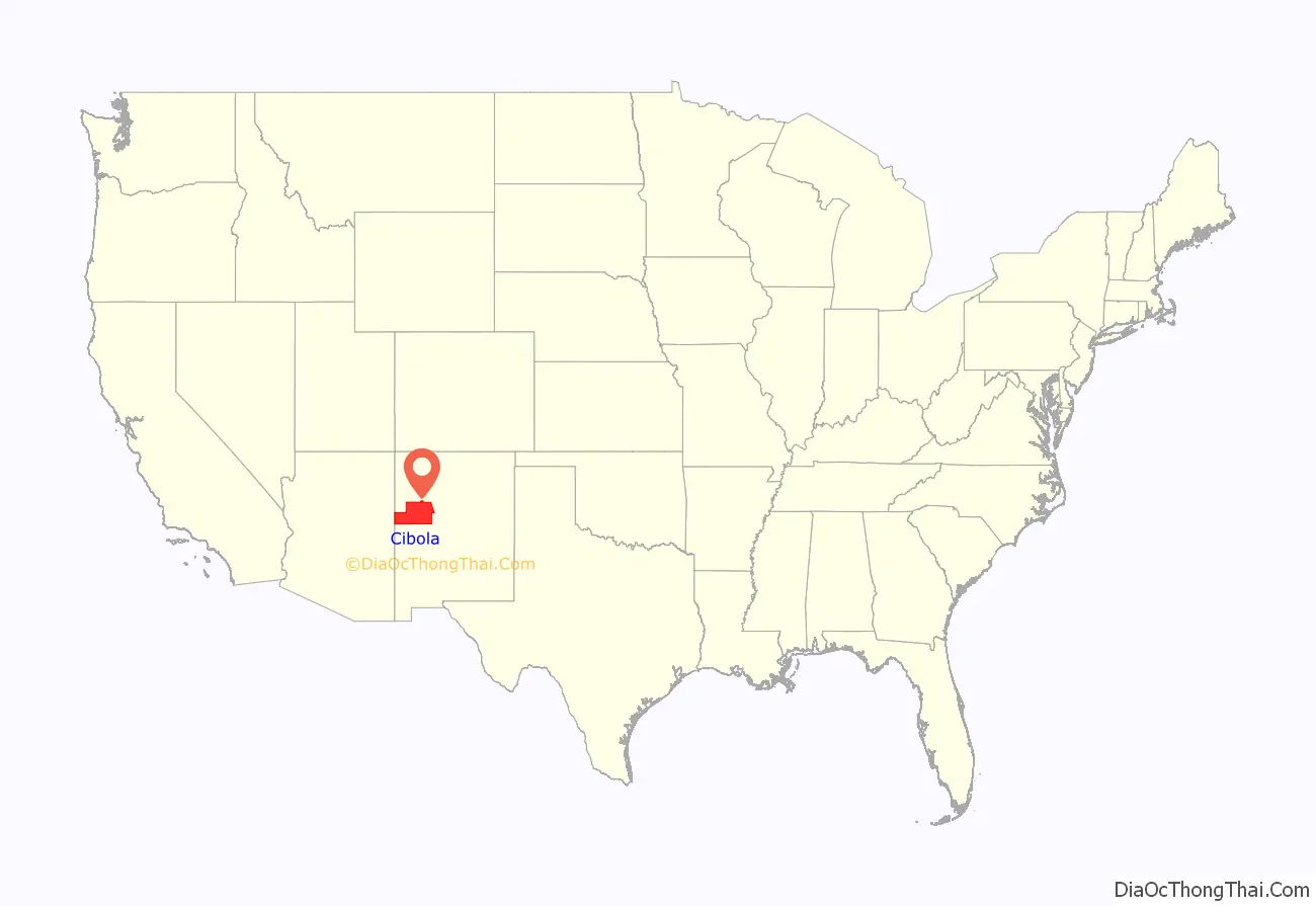
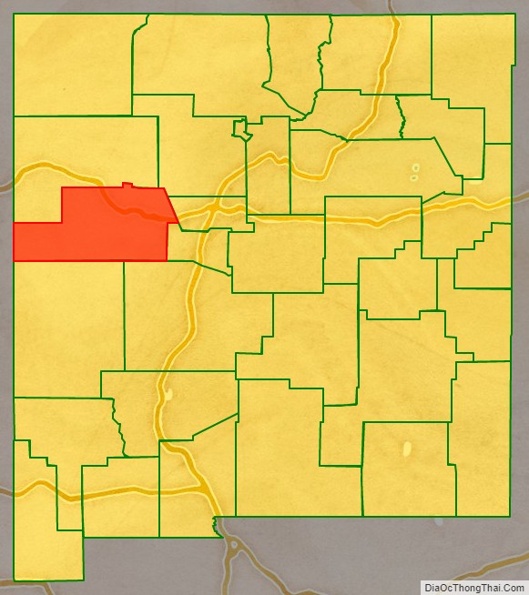
Cibola County location map. Where is Cibola County?
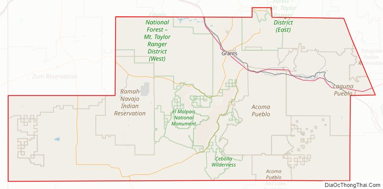
Cibola County Road Map
Geography
According to the U.S. Census Bureau, the county has an area of 4,542 square miles (11,760 km), of which 4,539 square miles (11,760 km) is land and 2.3 square miles (6.0 km) (0.05%) is water.
Adjacent counties
- McKinley County – north
- Sandoval County – northeast
- Bernalillo County – east
- Valencia County – east
- Socorro County – southeast
- Catron County – south
- Apache County, Arizona – west
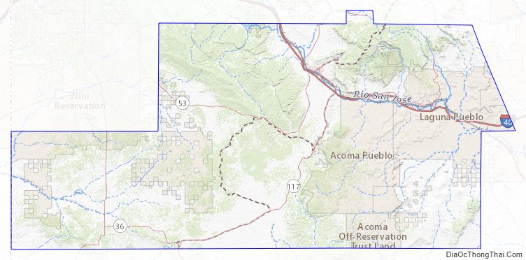
National protected areas
- Cibola National Forest (part)
- El Malpais National Conservation Area
- El Malpais National Monument
- El Morro National Monument
Cibola County Topographic Map
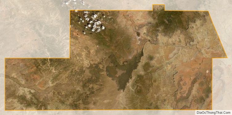
Cibola County Satellite Map
Cibola County Outline Map