Claiborne Parish (French: Paroisse de Claiborne) is a parish located in the northwestern section of the U.S. state of Louisiana. The parish was formed in 1828, and was named for the first Louisiana governor, William C. C. Claiborne. As of the 2020 census, the population was 14,170. The parish seat is Homer.
| Name: | Claiborne Parish |
|---|---|
| FIPS code: | 22-027 |
| State: | Louisiana |
| Founded: | March 15, 1828 |
| Named for: | William C. C. Claiborne |
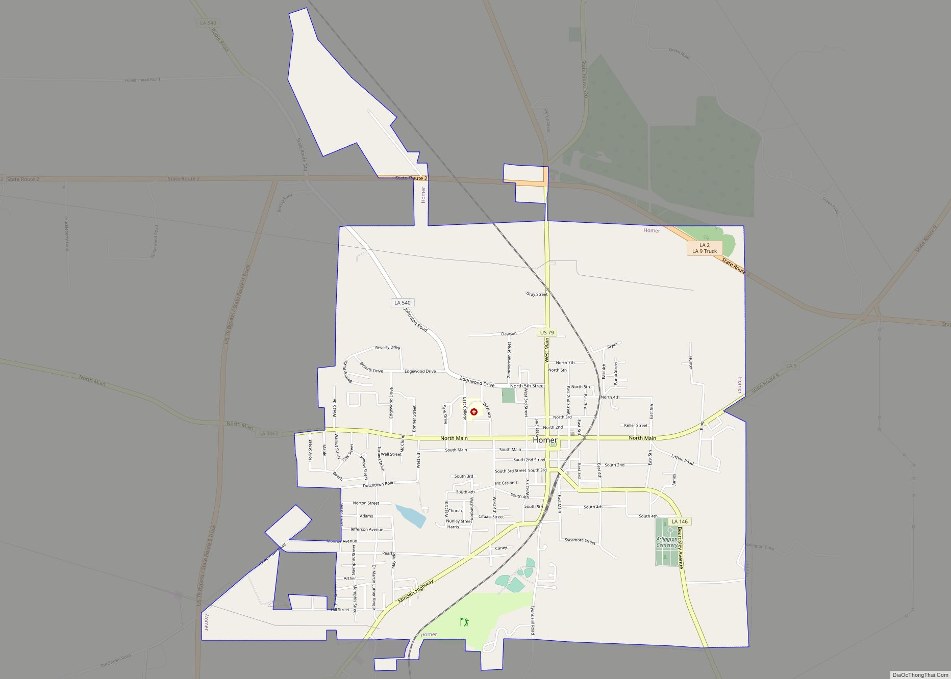
| Seat: | Homer |
| Total Area: | 1,990 km² (767 sq mi) |
| Land Area: | 1,960 km² (755 sq mi) |
| Total Population: | 14,170 |
| Population Density: | 7.1/km² (18/sq mi) |
| Time zone: | UTC-6 (CST) |
| Summer Time Zone (DST): | UTC-5 (CDT) |
| Website: | Claiborne Parish Government |
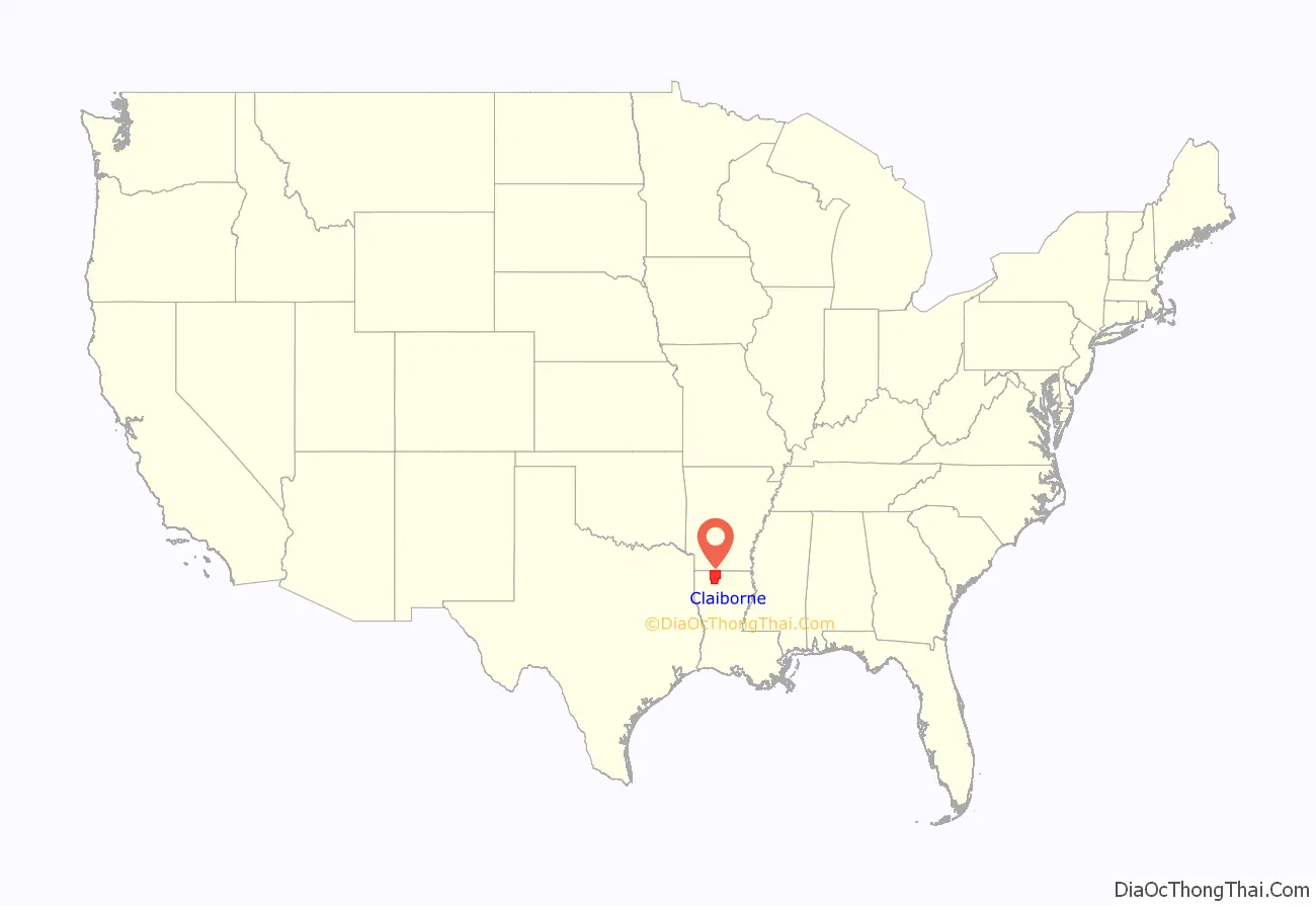
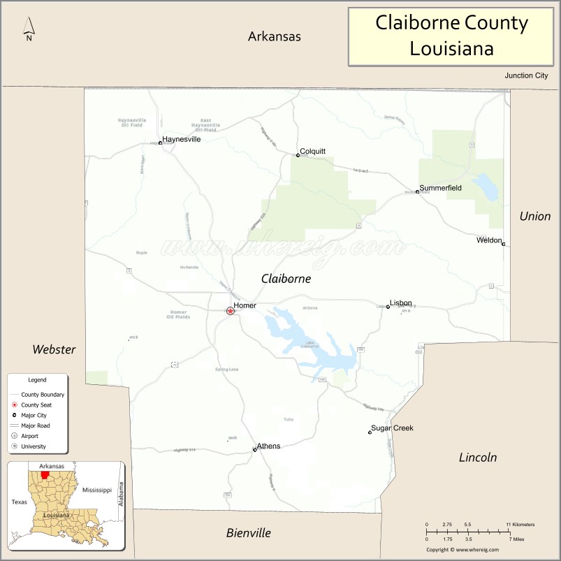
Claiborne Parish location map. Where is Claiborne Parish?
History
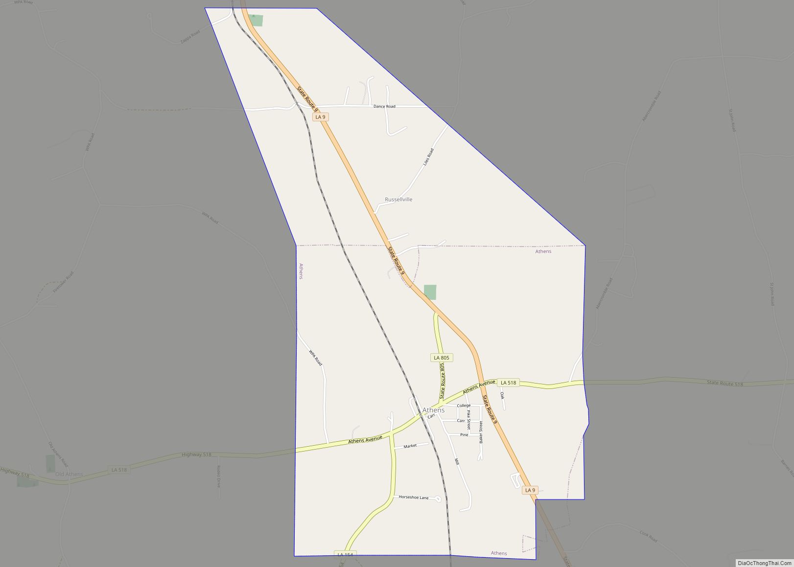
John Murrell moved his family from Arkansas to the Flat Lick Bayou area about 6 miles west of present-day Homer in 1818, and they became the first known non-natives to permanently settle in Claiborne Parish. As more settlers moved into the area, the Murrell house served as a church, school and post office. When the state legislature created Claiborne Parish out of Natchitoches Parish in 1828, all governmental business, including court, began being held in the Murrell house. This continued until the new parish’s police jury selected Russellville (now a ghost town located northeast of Athens) as the parish seat. As the population began swelling in what was then the western part of the parish, the seat was moved to Overton (another modern ghost town found near Minden) in 1836, because of its position at the head of the navigable portion of Dorcheat Bayou. Due to flooding and health concerns, the parish seat was moved to Athens in 1846, but an 1848 fire destroyed the courthouse and all the records in it. Soon thereafter the Claiborne Police Jury chose the present site for the parish seat, which came to be named, Homer.
Much of the area history is preserved in the Herbert S. Ford Memorial Museum, located across from the parish courthouse in Homer.
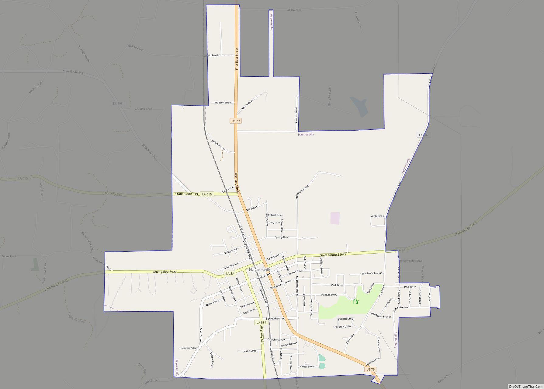
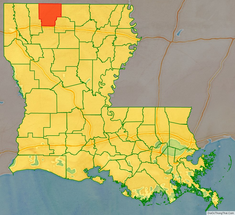
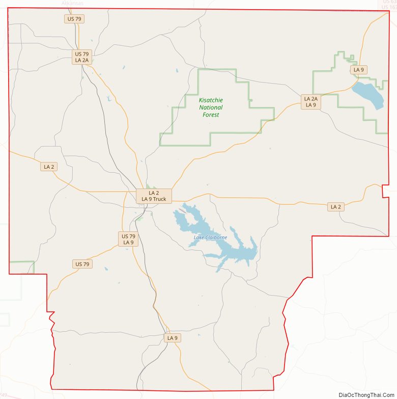
Claiborne Parish Road Map
Geography
According to the U.S. Census Bureau, the parish has a total area of 767 square miles (1,990 km), of which 755 square miles (1,960 km) is land and 13 square miles (34 km) (1.6%) is water.
Major highways
- Future Interstate 69
- U.S. Highway 79
- Louisiana Highway 2
- Louisiana Highway 9
Adjacent parishes
- Columbia County, Arkansas (northwest)
- Union County, Arkansas (northeast)
- Union Parish (east)
- Lincoln Parish (southeast)
- Bienville Parish (south)
- Webster Parish (west)
National protected area
- Kisatchie National Forest (part)
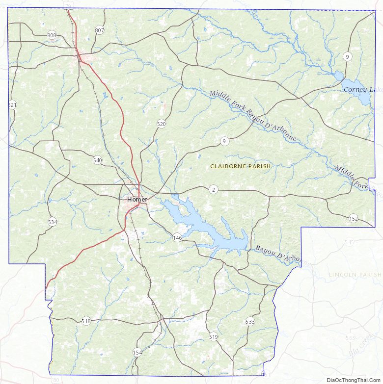
Claiborne Parish Topographic Map
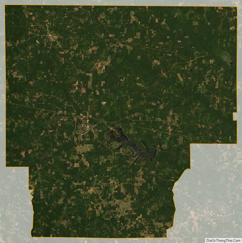
Claiborne Parish Satellite Map
Claiborne Parish Outline Map